Hill of Firfolds
Hill, Mountain in Banffshire
Scotland
Hill of Firfolds
The Hill of Firfolds is a prominent geographic feature located in Banffshire, Scotland. Standing at an elevation of approximately 307 meters (1,007 feet), it is classified as a hill rather than a mountain. The Hill of Firfolds is situated in the eastern part of Banffshire, near the town of Turriff.
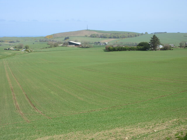
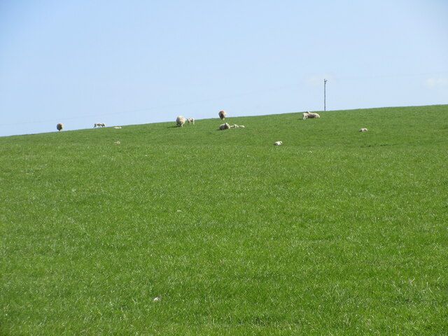
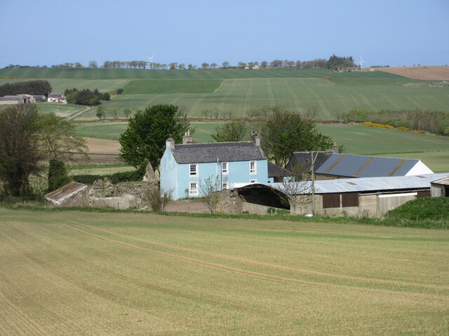
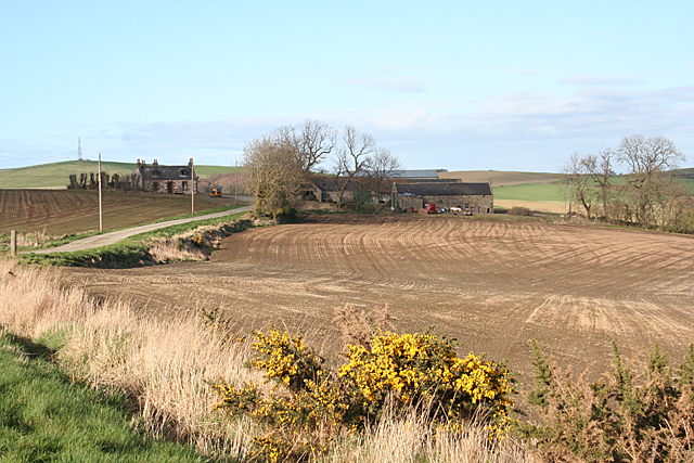
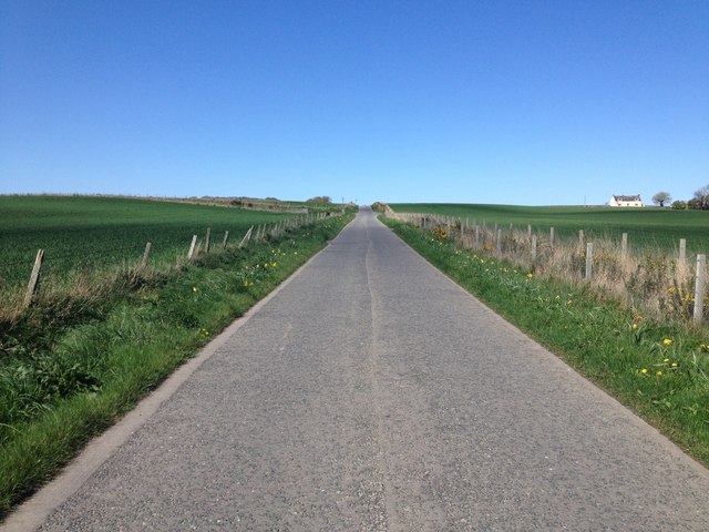
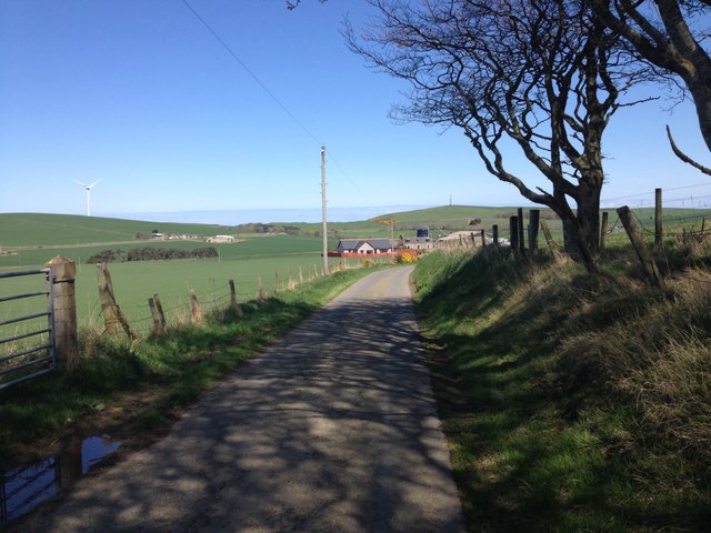
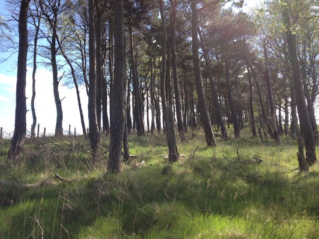
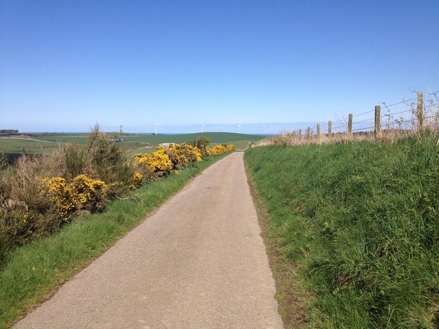
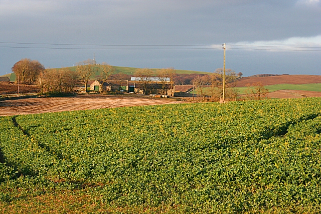
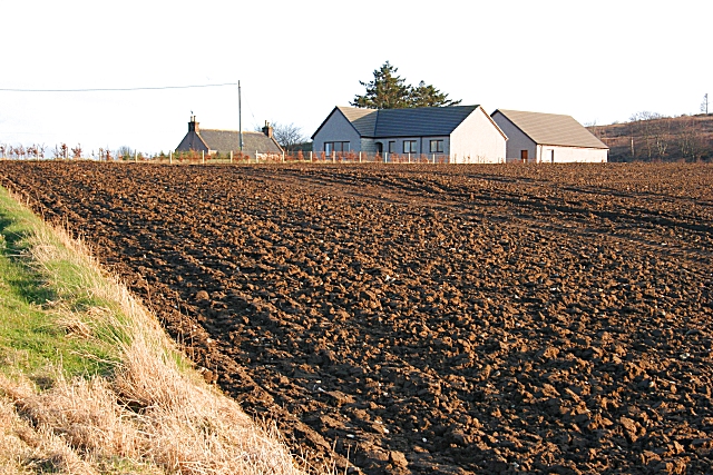
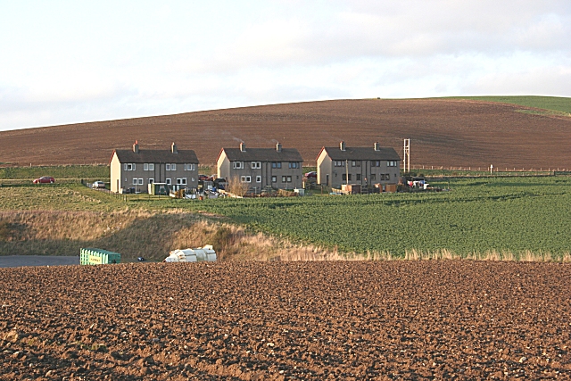
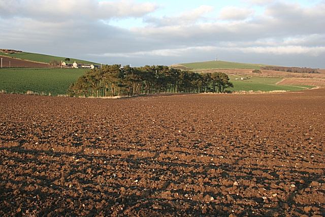
The hill is characterized by its gently sloping terrain, covered in a mix of grasses, heather, and scattered shrubs. The hilltop offers panoramic views of the surrounding countryside, with rolling fields, woodlands, and distant hills forming a picturesque landscape.
The Hill of Firfolds has historical significance, with remnants of ancient settlements found in the vicinity. Archaeological evidence suggests that the hill was inhabited during the Bronze Age, with artifacts such as pottery, tools, and burial mounds discovered in the area.
Today, the Hill of Firfolds is a popular destination for outdoor enthusiasts and nature lovers. The hill provides ample opportunities for walking, hiking, and birdwatching. Its tranquil surroundings make it an ideal spot for picnics and nature photography.
Access to the Hill of Firfolds is relatively easy, with a well-marked path leading to the summit. Visitors are advised to wear appropriate footwear and bring along binoculars to fully appreciate the breathtaking vistas from the top.
In conclusion, the Hill of Firfolds offers a serene escape into nature, providing a glimpse into the region's rich history and offering a haven for outdoor recreation.
If you have any feedback on the listing, please let us know in the comments section below.
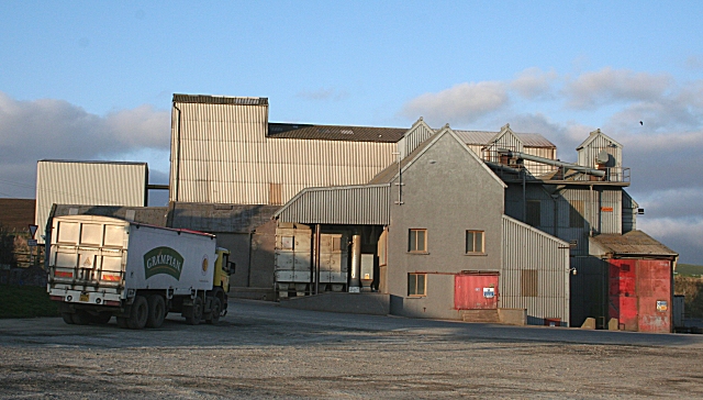
Hill of Firfolds Images
Images are sourced within 2km of 57.623875/-2.5773934 or Grid Reference NJ6559. Thanks to Geograph Open Source API. All images are credited.


Hill of Firfolds is located at Grid Ref: NJ6559 (Lat: 57.623875, Lng: -2.5773934)
Unitary Authority: Aberdeenshire
Police Authority: North East
What 3 Words
///fastening.impresses.rational. Near Banff, Aberdeenshire
Nearby Locations
Related Wikis
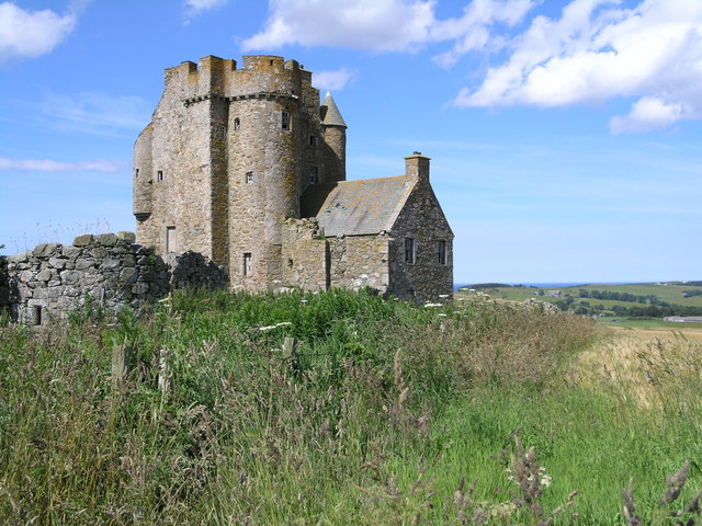
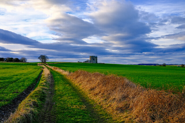
Inchdrewer Castle
Inchdrewer Castle is a 16th-century tower house in the parish of Banff, Aberdeenshire, in the north-east of Scotland. Situated on a slight rise 3.5 miles...

Ladysbridge railway station
Ladysbridge railway station was a station in Aberdeenshire, Scotland. Opened as Lady's Bridge railway station in 1859 it was renamed Ladysbridge railway...

Eden Castle
Eden Castle is a castle near Banff in Aberdeenshire, Scotland. The castle was built in the latter half of the 16th century by the Meldrum family with renovation...

Ordens railway station
Ordens railway station was opened in 1859, its services restricted and renamed Ordens Platform railway station by 1911 and finally Ordens Halt railway...
Nearby Amenities
Located within 500m of 57.623875,-2.5773934Have you been to Hill of Firfolds?
Leave your review of Hill of Firfolds below (or comments, questions and feedback).