Barbadoes Green
Settlement in Monmouthshire
Wales
Barbadoes Green
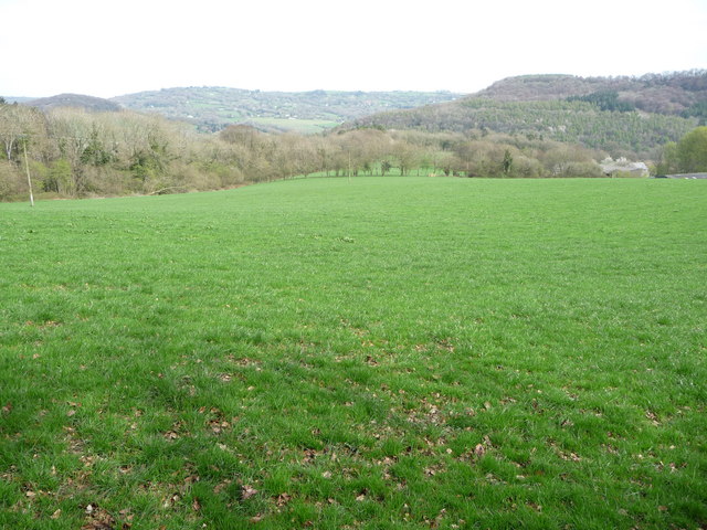
Barbadoes Green is a small village located in Monmouthshire, Wales. Situated in the southeastern part of the county, it lies about 5 miles northeast of Abergavenny and 10 miles west of Monmouth. The village is nestled amidst the picturesque landscapes of the Monmouthshire countryside, offering a tranquil and idyllic setting for its residents.
The origins of Barbadoes Green can be traced back to the 17th century, when it was primarily an agricultural community. Today, it remains a predominantly rural village with a population of around 200 residents. The village is characterized by a collection of charming cottages and farmhouses, many of which date back several centuries, showcasing the rich history of the area.
Despite its small size, Barbadoes Green has a strong sense of community, with residents actively involved in local events and initiatives. The village is served by a community hall, which acts as a hub for various social gatherings and activities. Additionally, there is a village green where residents often gather for picnics or community events during the warmer months.
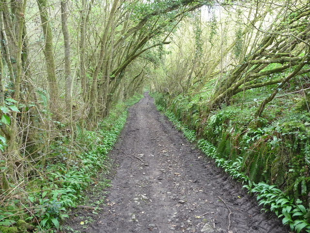
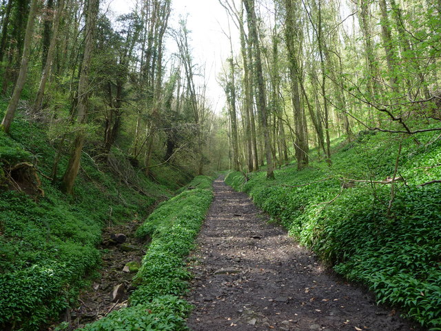
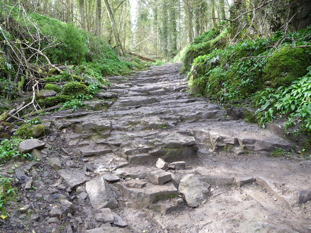
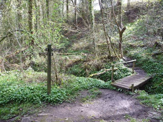
Surrounded by beautiful countryside, Barbadoes Green offers ample opportunities for outdoor activities and exploration. The village is located close to the Brecon Beacons National Park, providing easy access to hiking trails, cycling routes, and nature walks. The nearby River Usk also offers opportunities for fishing and boating.
In summary, Barbadoes Green is a charming and close-knit village in Monmouthshire, known for its rural beauty, rich history, and strong sense of community. It offers a peaceful retreat from the hustle and bustle of city life, while providing access to a range of outdoor activities and the stunning Welsh countryside.
If you have any feedback on the listing, please let us know in the comments section below.
Barbadoes Green Images
Images are sourced within 2km of 51.705858/-2.687814 or Grid Reference SO5201. Thanks to Geograph Open Source API. All images are credited.


Barbadoes Green is located at Grid Ref: SO5201 (Lat: 51.705858, Lng: -2.687814)
Unitary Authority: Monmouthshire
Police Authority: Gwent
What 3 Words
///compress.smiling.decorated. Near Tintern, Monmouthshire
Nearby Locations
Related Wikis

Tintern Wireworks Branch
The Tintern Wireworks Branch was a short branch line on the Wye Valley Railway, crossing the River Wye between Monmouthshire, Wales, and Gloucestershire...

Botany Bay, Monmouthshire
Botany Bay, Monmouthshire is an area in the Wye Valley in Wales, above the village of Tintern. It is the location of a Gwent Scouts camp site covering...

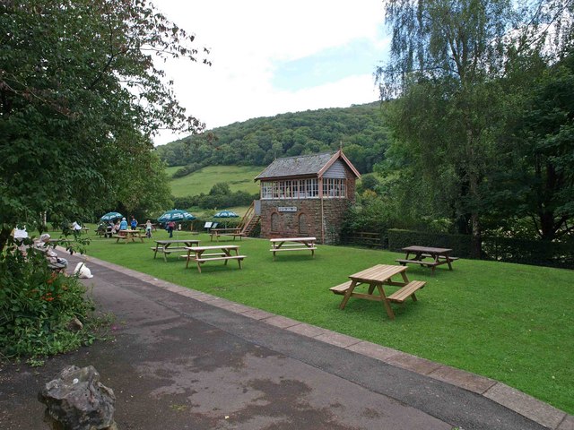
Tintern
Tintern (Welsh: Tyndyrn) is a village in the community of Wye Valley, on the west bank of the River Wye in Monmouthshire, Wales, close to the border with...
Tintern railway station
Tintern railway station served the village of Tintern on the Wye Valley Railway. It was opened in 1876 and closed for passengers in 1959 and freight in...
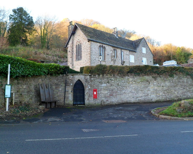
St Anne's House, Tintern
St Anne's House, Tintern, Monmouthshire, is a house of early medieval origin which includes elements of the gatehouse and chapel of Tintern Abbey. The...

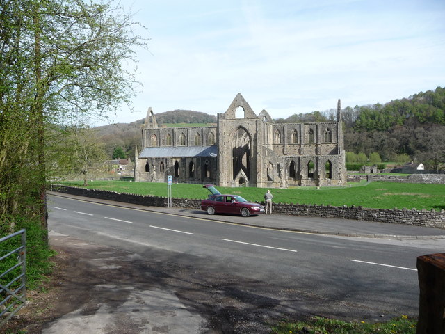
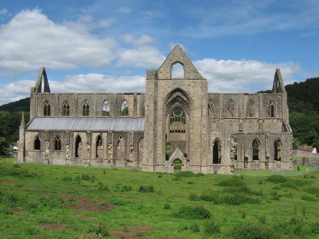
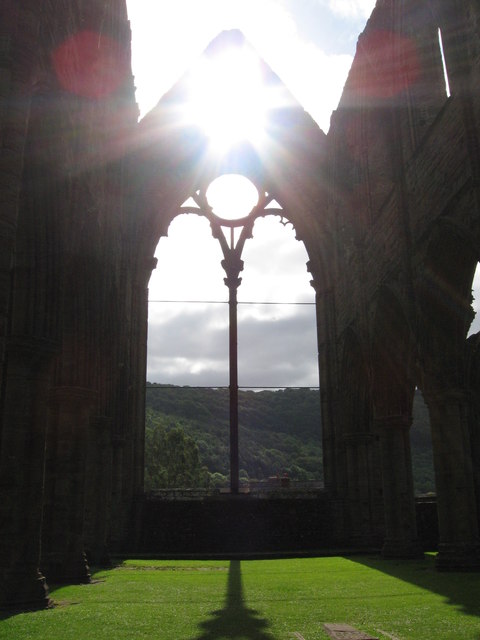
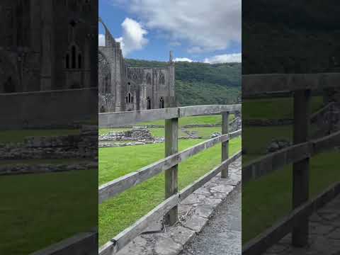
Tintern Abbey
Tintern Abbey (Welsh: Abaty Tyndyrn ) was founded on 9 May 1131 by Walter de Clare, Lord of Chepstow. It is situated adjacent to the village of Tintern...
Brockweir Halt railway station
Brockweir Halt was a request stop on the former Wye Valley Railway. It was opened to the public on 19 August 1929. It closed in 1959 when passenger services...

Brockweir
Brockweir is a village in Hewelsfield and Brockweir civil parish, in the Forest of Dean District of Gloucestershire, England. The civil parish also includes...
Related Videos
Tintern Abbey #travel #wyevalley #hiking #forest #adventure
Tintern abbey.


BBC Countryfile Magazine: Tintern to Bigsweir Bridge walk
Our February walk followed a circular route in the Wye Valley, from Tintern to Bigsweir Bridge as featured in BBC Countryfile ...
Nearby Amenities
Located within 500m of 51.705858,-2.687814Have you been to Barbadoes Green?
Leave your review of Barbadoes Green below (or comments, questions and feedback).