Barbaraville
Settlement in Cromartyshire
Scotland
Barbaraville
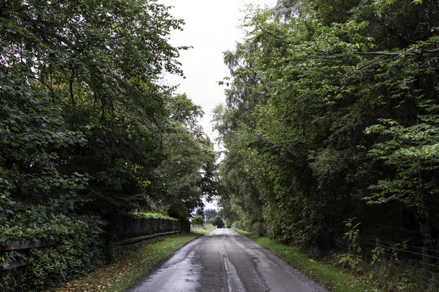
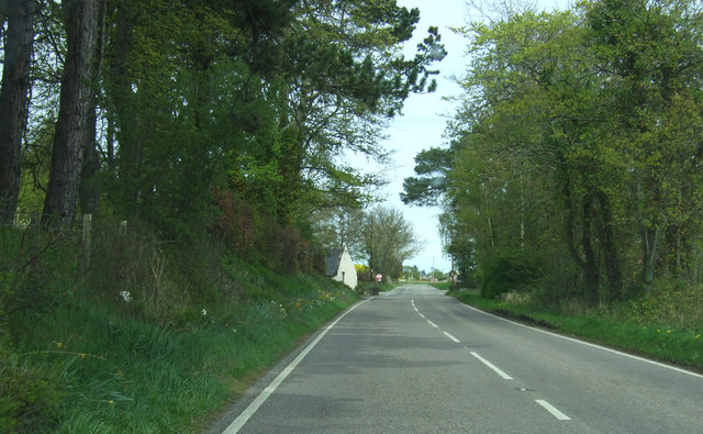
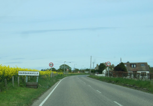
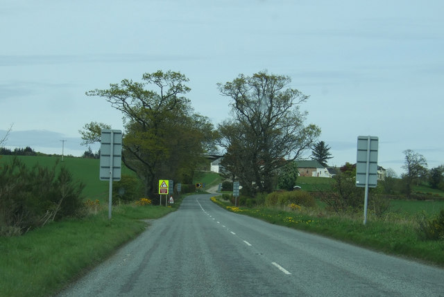
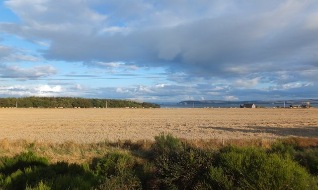
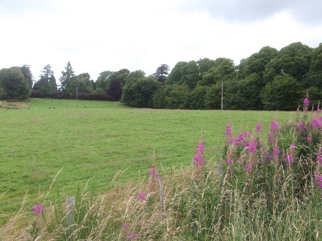
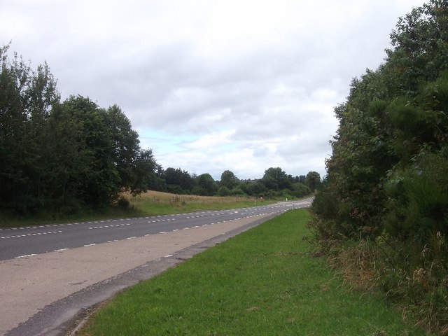
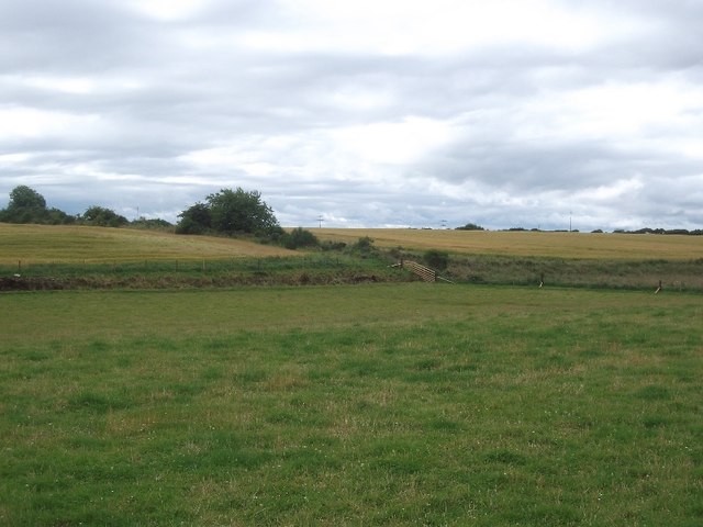
Barbaraville is a small village located in the county of Cromartyshire, in the northeastern part of Scotland. Situated on the banks of the Cromarty Firth, the village is surrounded by picturesque countryside and offers stunning views of the nearby hills and sea.
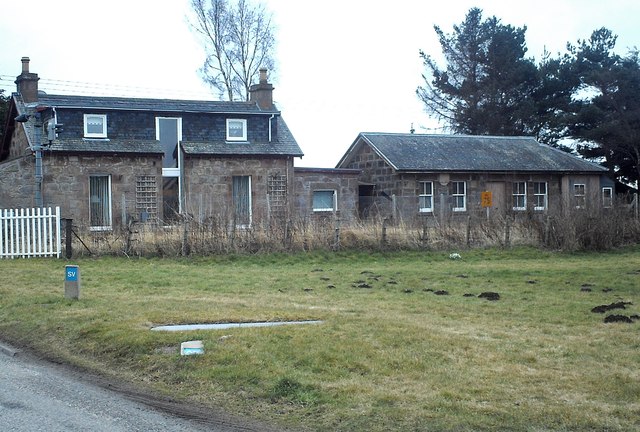
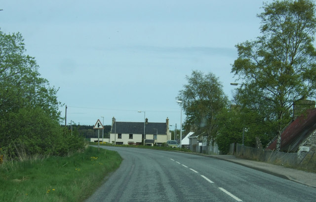
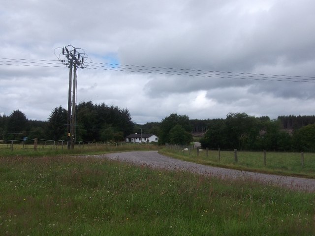
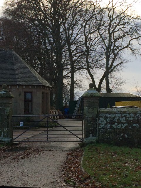
With a population of around 500 residents, Barbaraville is known for its tight-knit community and friendly atmosphere. The village is primarily residential, with a mix of traditional stone cottages and newer houses. The architecture reflects the region's heritage, and some of the buildings date back several centuries.
Despite its small size, Barbaraville has a few essential amenities that cater to its residents' needs. These include a local grocery store, a post office, and a primary school, ensuring that basic services are easily accessible to the community.
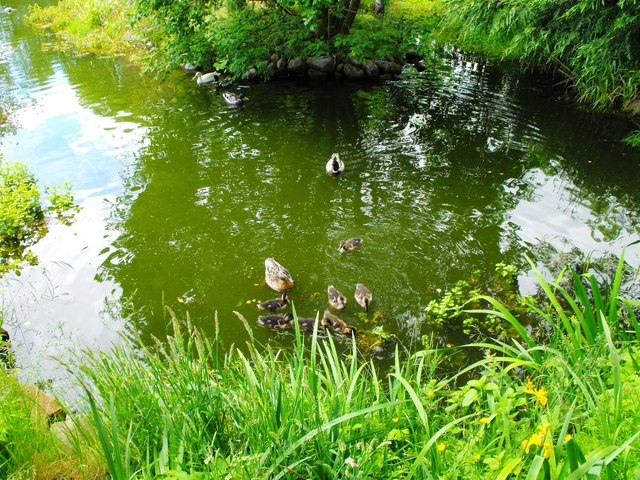
The village's proximity to natural beauty makes it an attractive destination for outdoor enthusiasts. The surrounding area offers numerous opportunities for activities such as hiking, cycling, and birdwatching. The nearby Cromarty Firth is also popular for water sports like sailing and kayaking.
Barbaraville's location in Cromartyshire makes it well-connected to nearby towns and cities. The larger town of Cromarty is just a short drive away, offering additional amenities and services. Inverness, the capital city of the Highlands, is approximately 20 miles to the west, providing further access to cultural, educational, and commercial opportunities.
Overall, Barbaraville is a charming village that offers a tranquil and picturesque lifestyle, perfect for those seeking a close-knit community in a beautiful natural setting.
If you have any feedback on the listing, please let us know in the comments section below.
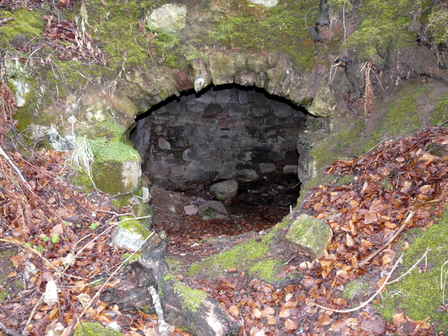
Barbaraville Images
Images are sourced within 2km of 57.722939/-4.101983 or Grid Reference NH7472. Thanks to Geograph Open Source API. All images are credited.


Barbaraville is located at Grid Ref: NH7472 (Lat: 57.722939, Lng: -4.101983)
Unitary Authority: Highland
Police Authority: Highlands and Islands
What 3 Words
///november.concluded.movie. Near Invergordon, Highland
Nearby Locations
Related Wikis

Barbaraville
Barbaraville (Scottish Gaelic: An Cladach) is a small settlement on the north shore of Nigg Bay in the Cromarty Firth in the Highland council area of Scotland...

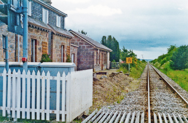
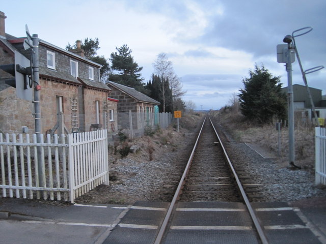
Delny railway station
Delny railway station served the hamlet of Delny, Ross-shire, Scotland from 1864 to 1964 on the Inverness and Ross-shire Railway. == History == The station...

Kilmuir, Easter Ross
Kilmuir is a former fishing village, located on the north eastern shore of Nigg Bay, one mile (1.5 kilometres) southeast of Kildary and four miles (six...

Balintraid
Balintraid (Scottish Gaelic: Baile na Tràghad) is an industrial settlement, which was built largely in the 1970s with the growth of the North Sea oil...

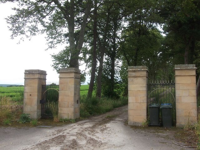
Tarbat House
Tarbat House is a Category A listed building in the Highland council area of northern Scotland. A three-story stone mansion in the neoclassical style,...
Milton, Easter Ross
Milton (Scottish Gaelic: Baile Mhuilinn Anndra), known as Milntown of Tarbat until the early 1970s, is a small Easter Ross community between Kildary and...
Milntown Castle
Milntown Castle was an early 16th-century castle which was situated near Milton, in Easter Ross, in the Scottish Highlands. == History == The castle was...

Nigg Bay
Nigg Bay (Scottish Gaelic: Camas Neig) is a large, relatively shallow sandy bay, consisting of mudflats, saltmarsh and wet grassland, located on the north...
Nearby Amenities
Located within 500m of 57.722939,-4.101983Have you been to Barbaraville?
Leave your review of Barbaraville below (or comments, questions and feedback).