Barbauchlaw

Settlement in West Lothian

Scotland

Barbauchlaw

Arnold Clark Armadale Citroen
Arnold Clark Armadale Citroen Credit: JThomas

Barbauchlaw is a small village located in West Lothian, Scotland. Situated approximately 3 miles southeast of the town of Bathgate, it is surrounded by picturesque rural landscapes and offers a tranquil and scenic living environment.

The village is primarily residential, with a small population of around 500 residents. It is known for its tight-knit community and friendly atmosphere, making it an ideal place for families and individuals seeking a peaceful lifestyle. The village also benefits from excellent transport links, with easy access to major roads including the M8 motorway, providing convenient connections to nearby towns and cities.

Barbauchlaw is home to a few local amenities, including a primary school, a community hall, and a local shop providing basic necessities. The village is also within close proximity to a range of additional amenities in nearby Bathgate, including supermarkets, restaurants, and leisure facilities.

Nature lovers will appreciate the village's proximity to beautiful countryside and outdoor recreational areas. Residents can enjoy peaceful walks along the nearby Almondell and Calderwood Country Park, which offers stunning natural landscapes and various trails for walking, cycling, and horse riding.

Overall, Barbauchlaw provides a peaceful and close-knit community environment, surrounded by scenic landscapes and offering easy access to essential amenities. Its ideal location, combined with its welcoming atmosphere, makes it an attractive place to call home in West Lothian.

If you have any feedback on the listing, please let us know in the comments section below.
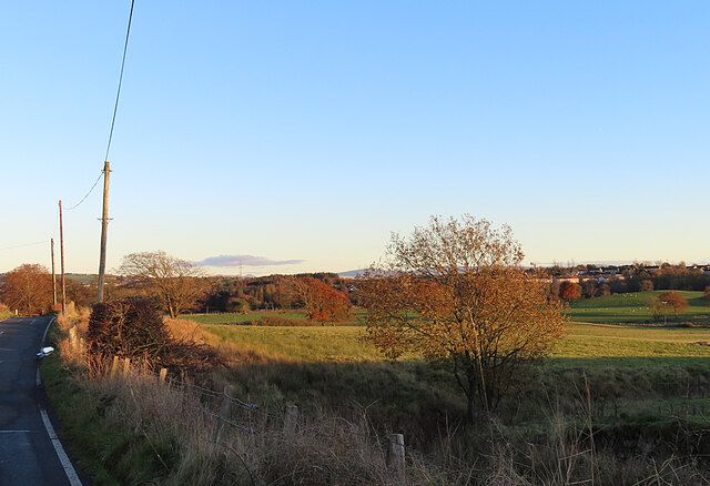
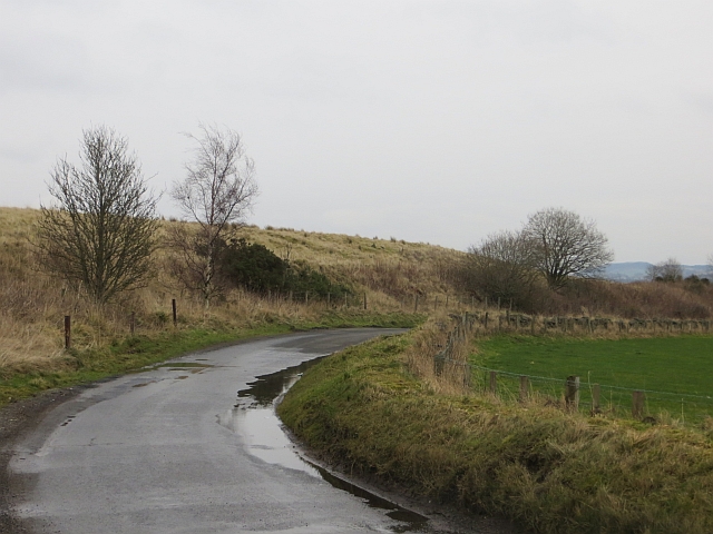
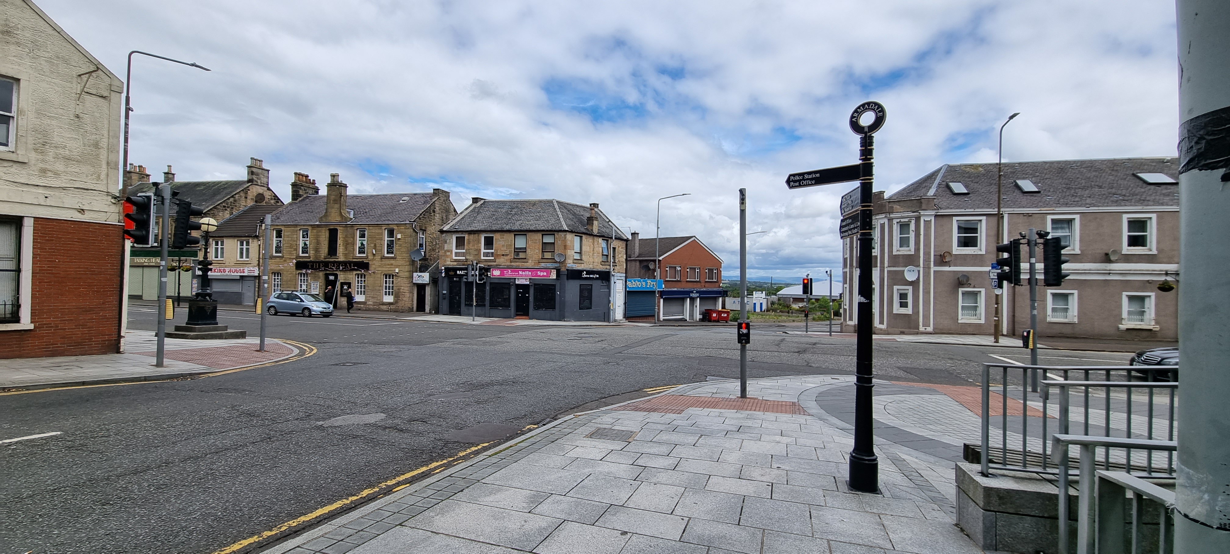
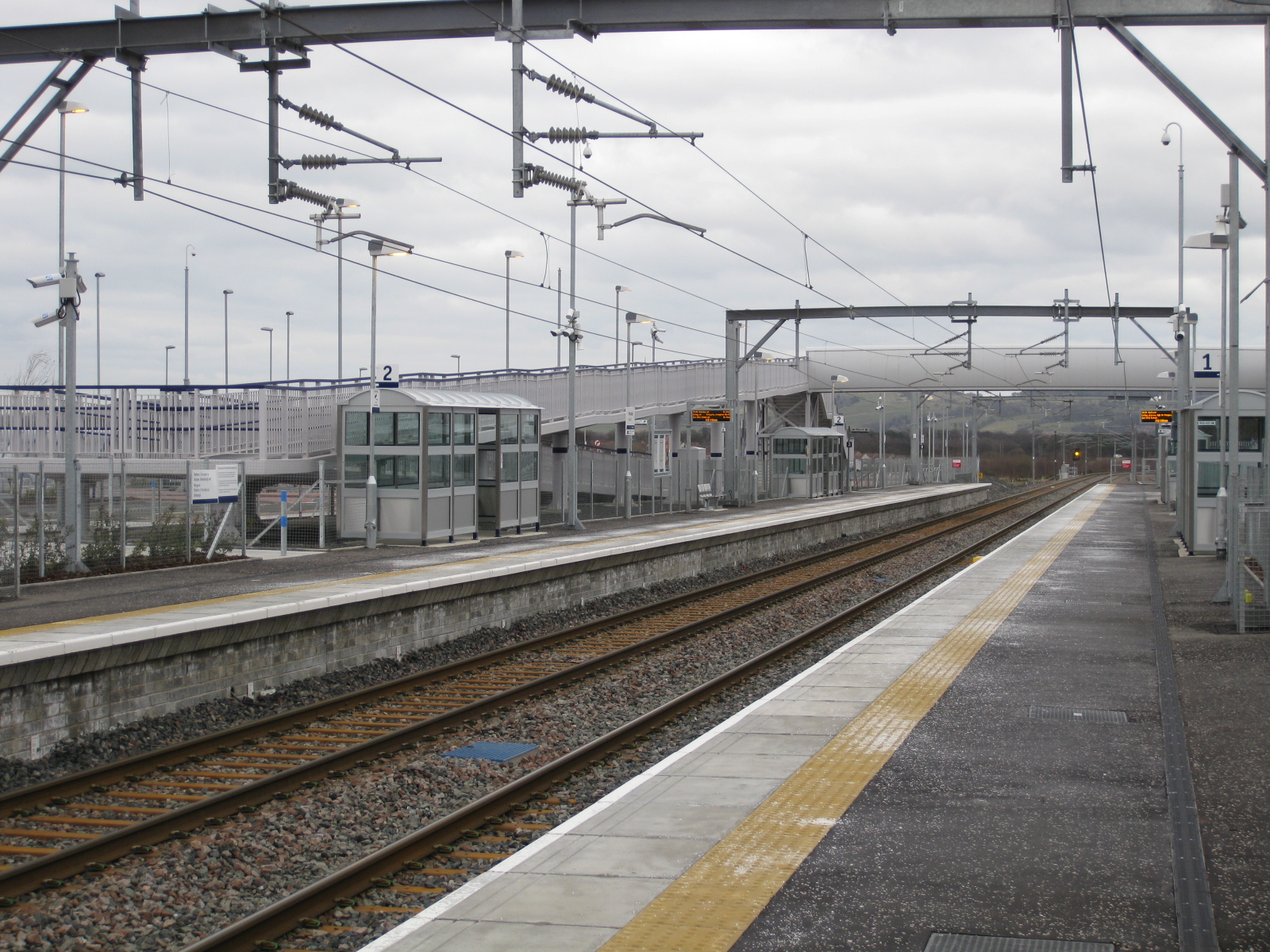
Barbauchlaw Images

Images are sourced within 2km of 55.90253/-3.70916 or Grid Reference NS9369. Thanks to Geograph Open Source API. All images are credited.

Arnold Clark Armadale Citroen
Pond at Western Edge of Hardhill Wood It is unclear whether this pond - which sits immediately off a major path through the wood  - is a balancing pond constructed to deal with occasional large outflows of water from the relatively new (15-20 years old I reckon) housing estate just East of here, a pond designed to filter pollutants from the water percolating through what was previously a heavily mined area, or a combination of both. The presence of a number of tall reeds, which are mostly behind camera, usually indicates some kind of clean-up operation is at work.
The pond is situated right next to an old shaft for Hopetoun Colliery No 8 Pit. The mine first appears on an 1890s OS map, but sifting through patchy online information it appears it may well have been operational as far back as the 1860s. As usual, rather soberingly, a lot of the information that can be gleaned about the pit comes from reports of accidents and fatalities. The Durham Mining Museum website has the most comprehensive overview of its workings that I have found. Unfortunately though it gets lumped together with the No 9 Pit (which was sited a few hundred yards SouthWest of here), so there are no exact figures, but an average of 300 men were employed underground across the two pits for the bulk of the first half of the 20th Century. The fatality reports only mention coal, so it seems likely that they were both exclusively coal mines, as opposed to a number round here, which mined combinations of coal, shale and ironstone.
Pond at Western Edge of Hardhill Wood
It is unclear whether this pond - which sits immediately off a major path through the wood - is a balancing pond constructed to deal with occasional large outflows of water from the relatively new (15-20 years old I reckon) housing estate just East of here, a pond designed to filter pollutants from the water percolating through what was previously a heavily mined area, or a combination of both. The presence of a number of tall reeds, which are mostly behind camera, usually indicates some kind of clean-up operation is at work. The pond is situated right next to an old shaft for Hopetoun Colliery No 8 Pit. The mine first appears on an 1890s OS map, but sifting through patchy online information it appears it may well have been operational as far back as the 1860s. As usual, rather soberingly, a lot of the information that can be gleaned about the pit comes from reports of accidents and fatalities. The Durham Mining Museum website has the most comprehensive overview of its workings that I have found. Unfortunately though it gets lumped together with the No 9 Pit (which was sited a few hundred yards SouthWest of here), so there are no exact figures, but an average of 300 men were employed underground across the two pits for the bulk of the first half of the 20th Century. The fatality reports only mention coal, so it seems likely that they were both exclusively coal mines, as opposed to a number round here, which mined combinations of coal, shale and ironstone.
Cairn in Hardhill Wood Hectares are usually described in terms of football pitches these days. Whereas an acre is about the size of half of the playing area of the average sized football pitch, a hectare is often given as the area of a whole football pitch including the grass behind the goals and beyond the touch lines, or sidelines. (Theoretically a football pitch could be square, but due to rules imposed by international, national, and regional football bodies, pitches are generally about 115 x 75 yards in dimension with a bit of leeway given in both directions.) If you submit pictures to Geograph though, things become far simpler - a hectare is exactly the same as a centisquare, which is a hundredth part of a grid-square, measuring 100 x 100 metres. This small broadleaf wood comes in at about 10 hectares.
Cairns like this are extremely common these days, and generally have something to do with one of the Queen's umpteen jubilees, or the millennium. This one, though, was something of a curiosity. It has the Scout logo - which can just be made out on its right side - engraved on one stone, with 'N East' imprinted below the logo, and a handful of other engraved stones and bricks throughout, which all denote Scout troops in and around Aberdeenshire - '1st Banff Scouts' and '1st Laurencekirk' are visible here. According to the Woodland Trust website, which handily also contains information on a lot of other publicly designed woodlands, it is one of six decorative cairns representing the Scout regions of Scotland. This is because in 1999 local Scouts planted all the trees here, which must have taken some doing. Presumably all the Scout troops marked on the stones were involved in the project, and get an honourary name-check in all the other woods.
The reason I never put links in my write-ups, and therefore end up writing so much, is because of the wholly unnecessary (so it seems to me, anyway) practise of constant renaming and rebranding, undertaken by almost every organisation out there. This is a case in point. At the time, the wood was planted on behalf of the Central Scotland Forest Trust. This then renamed itself the Central Scotland Green Network Trust and is now called Green Action Trust. It seems to be quite a force for good though, despite its identity crisis.
Cairn in Hardhill Wood
Hectares are usually described in terms of football pitches these days. Whereas an acre is about the size of half of the playing area of the average sized football pitch, a hectare is often given as the area of a whole football pitch including the grass behind the goals and beyond the touch lines, or sidelines. (Theoretically a football pitch could be square, but due to rules imposed by international, national, and regional football bodies, pitches are generally about 115 x 75 yards in dimension with a bit of leeway given in both directions.) If you submit pictures to Geograph though, things become far simpler - a hectare is exactly the same as a centisquare, which is a hundredth part of a grid-square, measuring 100 x 100 metres. This small broadleaf wood comes in at about 10 hectares. Cairns like this are extremely common these days, and generally have something to do with one of the Queen's umpteen jubilees, or the millennium. This one, though, was something of a curiosity. It has the Scout logo - which can just be made out on its right side - engraved on one stone, with 'N East' imprinted below the logo, and a handful of other engraved stones and bricks throughout, which all denote Scout troops in and around Aberdeenshire - '1st Banff Scouts' and '1st Laurencekirk' are visible here. According to the Woodland Trust website, which handily also contains information on a lot of other publicly designed woodlands, it is one of six decorative cairns representing the Scout regions of Scotland. This is because in 1999 local Scouts planted all the trees here, which must have taken some doing. Presumably all the Scout troops marked on the stones were involved in the project, and get an honourary name-check in all the other woods. The reason I never put links in my write-ups, and therefore end up writing so much, is because of the wholly unnecessary (so it seems to me, anyway) practise of constant renaming and rebranding, undertaken by almost every organisation out there. This is a case in point. At the time, the wood was planted on behalf of the Central Scotland Forest Trust. This then renamed itself the Central Scotland Green Network Trust and is now called Green Action Trust. It seems to be quite a force for good though, despite its identity crisis.
Scrubby woodland Small areas of woodland amongst agricultural land like this one, in this part of West Lothian, generally hint to there having been some mining activity at the location in the past. Old maps provide faint clues, but nothing conclusive - a small triangle at the North of the wood, long occupied by Campbell's vehicle scrapyard, roughly occupies a former spoilheap. The heap is shown on an 1890s OS map, but no nearby workings are ever shown - it is quite possible though, that something sprung up and got wound up within the 40-plus year period between the Ordnance Survey's first and second editions. Then again, the scrubby woodland is marked as boggy - unlike the surrounding fields - in their first 1850s map, and therefore was probably not farmable anyway, so it's hard to say.
To add to the mystery,  an interlinking road once ran from the main Armadale to Bathgate road and the 'scrapyard road' (as it's now commonly called) to the North. And off this shortcut once ran a spur to nowhere, for a short distance at the SouthWest of today's wood. It now resembles a short unfilled moat and it is hard to figure out if the old track was the high bit or the low bit, and whichever it was, why there is about a four foot drop between the two.
The field to the South must always have been arable as there is no fence between it and the wood. And a couple of big bulky metal things are covered in moss in the wood - they looked like very old engines, probably dumped there due to some criminal activity in long-gone days before cybercrime took over.
Scrubby woodland
Small areas of woodland amongst agricultural land like this one, in this part of West Lothian, generally hint to there having been some mining activity at the location in the past. Old maps provide faint clues, but nothing conclusive - a small triangle at the North of the wood, long occupied by Campbell's vehicle scrapyard, roughly occupies a former spoilheap. The heap is shown on an 1890s OS map, but no nearby workings are ever shown - it is quite possible though, that something sprung up and got wound up within the 40-plus year period between the Ordnance Survey's first and second editions. Then again, the scrubby woodland is marked as boggy - unlike the surrounding fields - in their first 1850s map, and therefore was probably not farmable anyway, so it's hard to say. To add to the mystery, an interlinking road once ran from the main Armadale to Bathgate road and the 'scrapyard road' (as it's now commonly called) to the North. And off this shortcut once ran a spur to nowhere, for a short distance at the SouthWest of today's wood. It now resembles a short unfilled moat and it is hard to figure out if the old track was the high bit or the low bit, and whichever it was, why there is about a four foot drop between the two. The field to the South must always have been arable as there is no fence between it and the wood. And a couple of big bulky metal things are covered in moss in the wood - they looked like very old engines, probably dumped there due to some criminal activity in long-gone days before cybercrime took over.
Grazing Land Grassy fields beside the minor road north of Armadale.
Grazing Land
Grassy fields beside the minor road north of Armadale.
Armadale Stadium Located on Bathgate Road, this is the home of the Edinburgh Monarchs speedway team. Viewed on a bright but icy December day.
Armadale Stadium
Located on Bathgate Road, this is the home of the Edinburgh Monarchs speedway team. Viewed on a bright but icy December day.
Armadale Methodist Church Viewed in late-December sunshine.
Armadale Methodist Church
Viewed in late-December sunshine.
Westermains view Residential area in the west end of Armadale.
Westermains view
Residential area in the west end of Armadale.
Pool at Mallace Avenue View from the footpath towards the new housing estate at Mallace Avenue, Lower Bathville.  Before the estate was built this area was a cornfield so the pool is as new as the houses, but very natural-looking and well-established.
Pool at Mallace Avenue
View from the footpath towards the new housing estate at Mallace Avenue, Lower Bathville. Before the estate was built this area was a cornfield so the pool is as new as the houses, but very natural-looking and well-established.
Track down the side of Armadale speedway stadium Home of the Edinburgh Monarchs.
Track down the side of Armadale speedway stadium
Home of the Edinburgh Monarchs.
The A89 heading in to Armadale Through the Mayfield district of the West Lothian town.
The A89 heading in to Armadale
Through the Mayfield district of the West Lothian town.
The Methodist Church in Scotland The little church is situated on the A89 in the Mayfield district of Armadale in West Lothian.
The Methodist Church in Scotland
The little church is situated on the A89 in the Mayfield district of Armadale in West Lothian.
Section of the town centre at Armadale in West Lothian Featuring the Goth public house. Goths or Gothenburg inns were opened in many of Scotland's mining communities. They promoted responsible alcohol consumption and all the profits of the inn went to the good of the community.
Section of the town centre at Armadale in West Lothian
Featuring the Goth public house. Goths or Gothenburg inns were opened in many of Scotland's mining communities. They promoted responsible alcohol consumption and all the profits of the inn went to the good of the community.
A89 road heading west out of Armadale Passing to the north of Aramadale Academy.
A89 road heading west out of Armadale
Passing to the north of Aramadale Academy.
West Main Street, Armadale
Honeyman Court Residential area, Armadale.
Honeyman Court
Residential area, Armadale.
Bing, Woodend Colliery Now landscaped. <a href="https://www.geograph.org.uk/photo/1120890">NS9269 : Bings, Woodend</a>
Bing, Woodend Colliery
Now landscaped. NS9269 : Bings, Woodend
Show me another place!

Barbauchlaw is located at Grid Ref: NS9369 (Lat: 55.90253, Lng: -3.70916)

Unitary Authority: West Lothian

Police Authority: The Lothians and Scottish Borders

What 3 Words

///cheer.erupt.stunt. Near Armadale, West Lothian

Nearby Locations

Barbauchlaw

Related Wikis

Nearby Amenities

Located within 500m of 55.90253,-3.70916
Post Box
Collection Times: Mo-Fr 09:00; Sa 07:00
Operator: Royal Mail
Post Box Type: pillar
Ref: EH48 32D
Royal Cypher: scottish_crown
Lat/Long: 55.9014645/-3.7106678
Bus Stop
Lat/Long: 55.9023285/-3.7095815
Bus Stop
Lat/Long: 55.901769/-3.7103336
Power: pole
Lat/Long: 55.903281/-3.7168914
Power: pole
Lat/Long: 55.903462/-3.7154477
Power: pole
Lat/Long: 55.9036009/-3.7140155
Power: pole
Lat/Long: 55.9056732/-3.7044474
Power: pole
Lat/Long: 55.9057094/-3.7036287
The data included in this document is from www.openstreetmap.org. The data is made available under ODbL.

Have you been to Barbauchlaw?

Leave your review of Barbauchlaw below (or comments, questions and feedback).