Parson's Allotment
Wood, Forest in Monmouthshire
Wales
Parson's Allotment

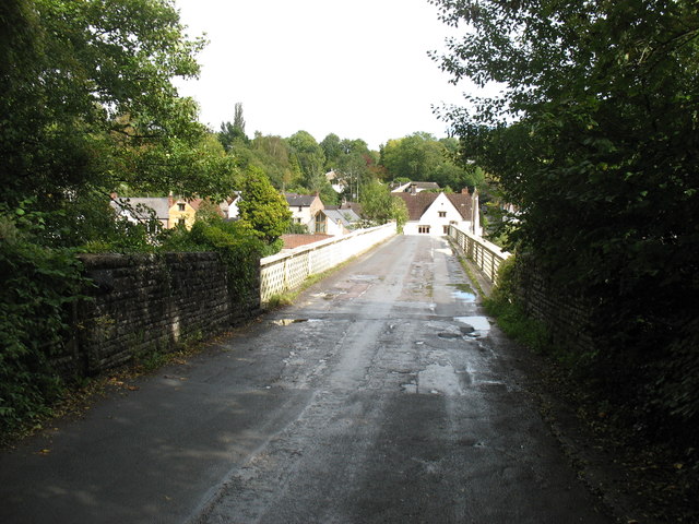
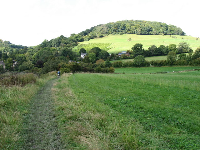
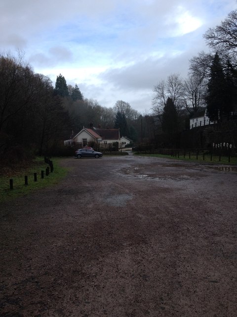
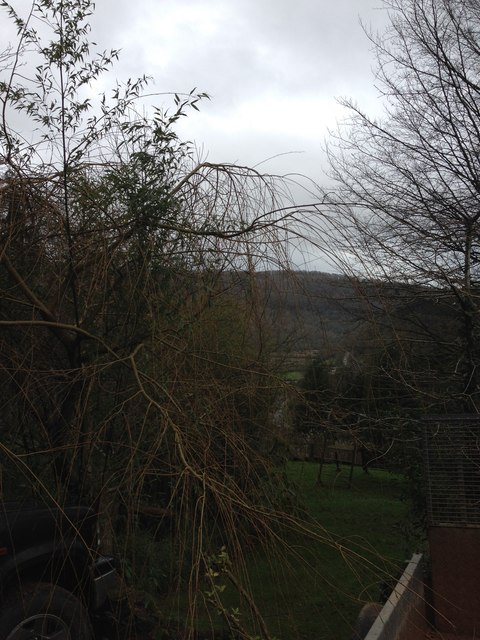
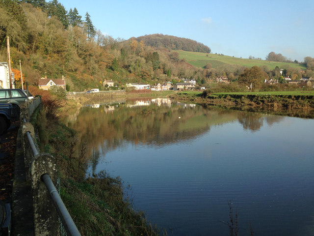
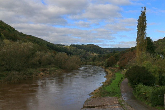
Parson's Allotment is a picturesque woodland located in Monmouthshire, Wales. Spanning across a vast area, this forested area is known for its rich biodiversity and tranquil atmosphere. The allotment is situated near the village of Parson's Grove, which adds to its charm and accessibility.
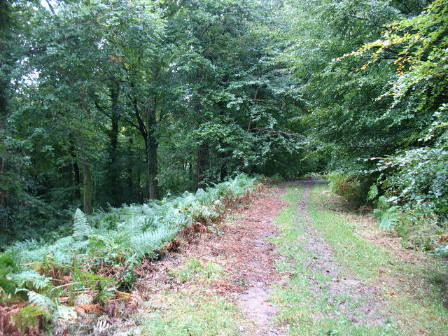
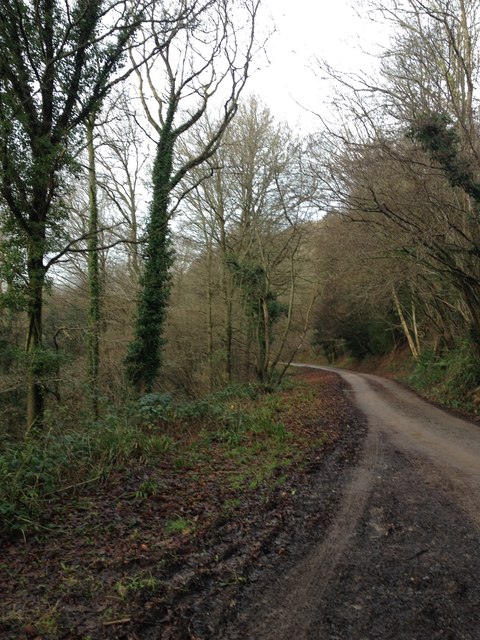
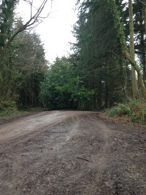
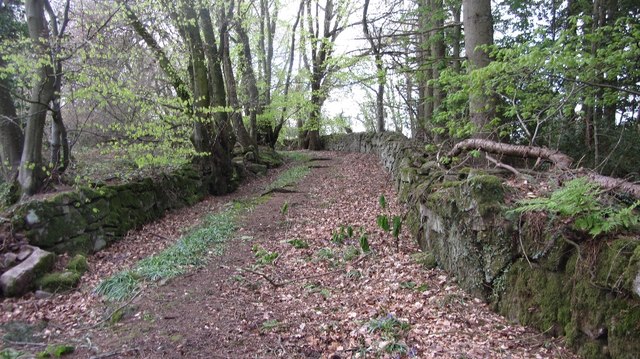
The woodland is dominated by a variety of tree species, including oak, ash, beech, and hazel. These towering trees create a dense canopy, providing shade and shelter for numerous wildlife species. The forest floor is covered in a lush carpet of ferns, mosses, and wildflowers, adding to the natural beauty of the area.
Parson's Allotment is a haven for wildlife enthusiasts and nature lovers. It is home to a diverse range of animals, such as deer, foxes, badgers, and a plethora of bird species, including woodpeckers and owls. The forest's secluded nature makes it an ideal habitat for these creatures.
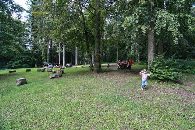
Visitors to Parson's Allotment can enjoy a variety of activities within the woodland. There are well-maintained trails and footpaths that wind through the forest, allowing visitors to explore its beauty at their own pace. The peaceful ambiance makes it an excellent location for hiking, birdwatching, and photography.
The management of Parson's Allotment is focused on preserving its natural integrity. Conservation efforts are in place to protect the forest's flora and fauna, ensuring its sustainability for future generations. The woodland is also a popular spot for educational programs and guided tours, allowing visitors to learn more about its unique ecosystem.
Overall, Parson's Allotment is a true gem in Monmouthshire, offering visitors a chance to immerse themselves in the beauty of nature and witness the wonders of a thriving woodland ecosystem.
If you have any feedback on the listing, please let us know in the comments section below.
Parson's Allotment Images
Images are sourced within 2km of 51.712722/-2.6916224 or Grid Reference SO5201. Thanks to Geograph Open Source API. All images are credited.


Parson's Allotment is located at Grid Ref: SO5201 (Lat: 51.712722, Lng: -2.6916224)
Unitary Authority: Monmouthshire
Police Authority: Gwent
What 3 Words
///loops.typified.booklets. Near Tintern, Monmouthshire
Nearby Locations
Related Wikis

Botany Bay, Monmouthshire
Botany Bay, Monmouthshire is an area in the Wye Valley in Wales, above the village of Tintern. It is the location of a Gwent Scouts camp site covering...

Sylvan House Barn
Sylvan House Barn (grid reference SO534023) is a 0.005-hectare (0.012-acre) stone built barn near the village of St Briavels, in the Forest of Dean, Gloucestershire...

Catbrook
Catbrook (Welsh: Catffrwd) is a village in Monmouthshire, south east Wales, United Kingdom. The population in 2011 was 412. == Location == Catbrook is...
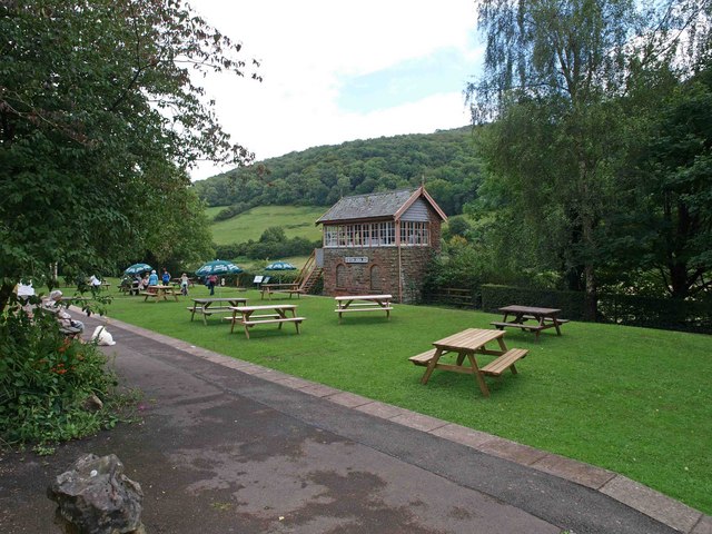
Brockweir Halt railway station
Brockweir Halt was a request stop on the former Wye Valley Railway. It was opened to the public on 19 August 1929. It closed in 1959 when passenger services...

The Hudnalls
The Hudnalls (SO533030 & SO540042 & SO545046 ) is a 94.4-hectare (233-acre) biological Site of Special Scientific Interest in Gloucestershire, notified...

Tintern Wireworks Branch
The Tintern Wireworks Branch was a short branch line on the Wye Valley Railway, crossing the River Wye between Monmouthshire, Wales, and Gloucestershire...

Brockweir
Brockweir is a village in Hewelsfield and Brockweir civil parish, in the Forest of Dean District of Gloucestershire, England. The civil parish also includes...
Tintern railway station
Tintern railway station served the village of Tintern on the Wye Valley Railway. It was opened in 1876 and closed for passengers in 1959 and freight in...
Nearby Amenities
Located within 500m of 51.712722,-2.6916224Have you been to Parson's Allotment?
Leave your review of Parson's Allotment below (or comments, questions and feedback).