Baravullin
Settlement in Argyllshire
Scotland
Baravullin
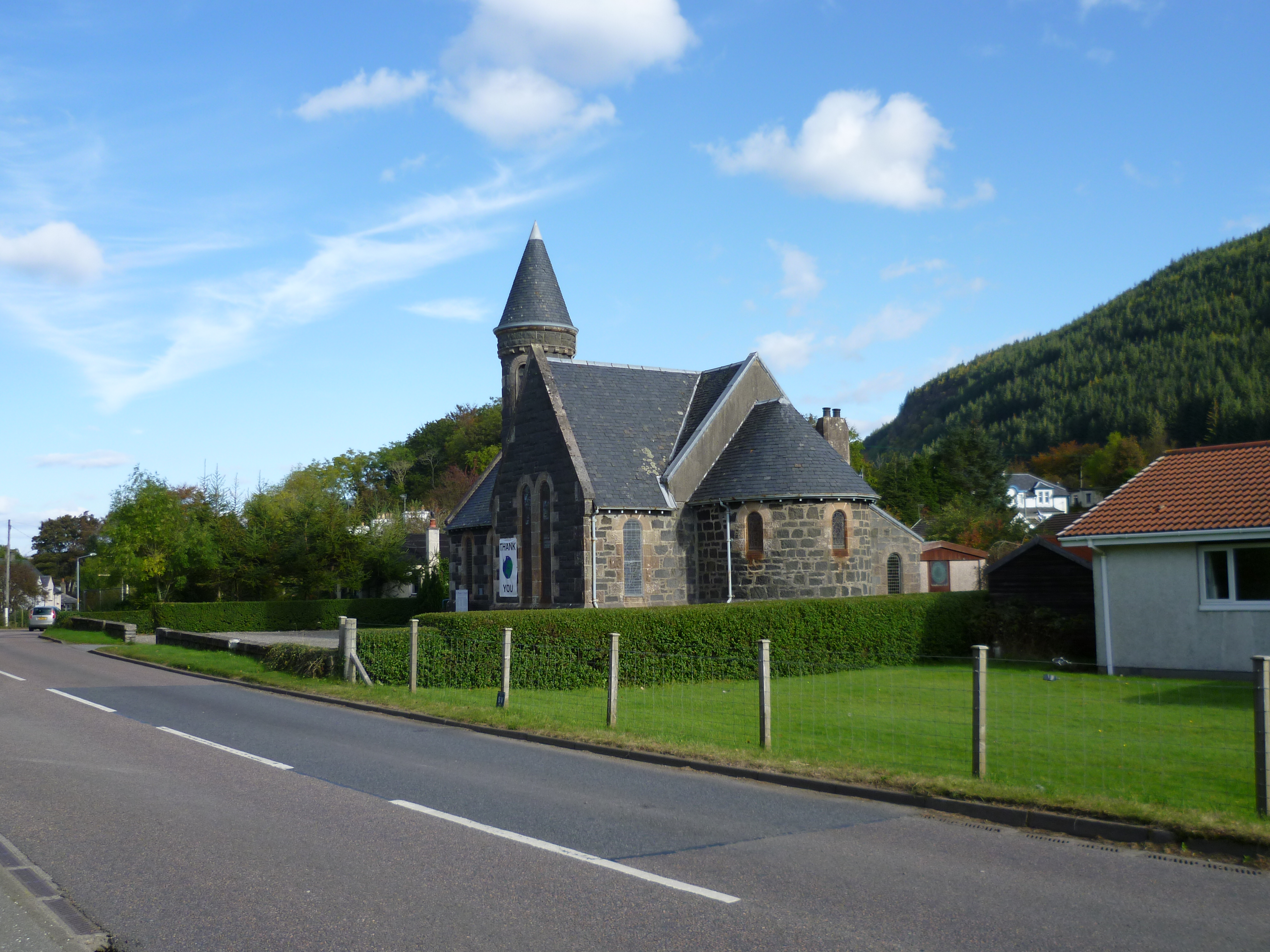
Baravullin is a small village located in the region of Argyllshire, on the west coast of Scotland. Situated amidst picturesque landscapes, it lies within close proximity to the Isle of Islay and benefits from stunning views of the surrounding hills and the nearby Loch Indaal.
With a population of around 200 residents, Baravullin is a tight-knit community that embraces its rural charm and tranquility. The village is primarily residential, comprising a collection of traditional stone houses that blend harmoniously with the natural environment. The residents of Baravullin enjoy a peaceful lifestyle, far from the hustle and bustle of city life.
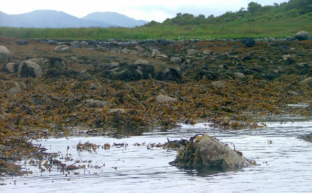
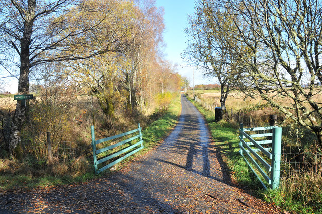
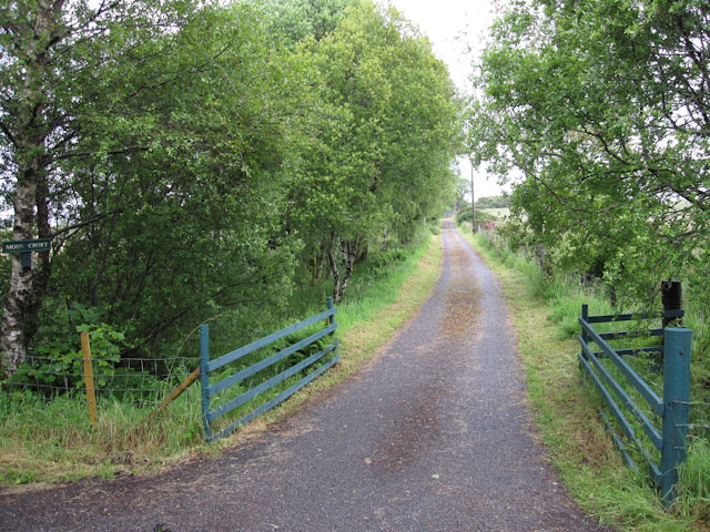
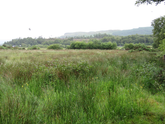
The village is surrounded by an abundance of natural beauty, making it a popular destination for nature enthusiasts and outdoor enthusiasts alike. The nearby Loch Indaal offers excellent opportunities for fishing and boating, while the rolling hills provide endless hiking trails and breathtaking scenery. Wildlife is also abundant in the area, with numerous species of birds, deer, and other animals calling the region home.
Although Baravullin is a small village, it boasts a strong community spirit, with regular social events and gatherings taking place. The village also benefits from a local pub, where residents and visitors can come together to enjoy a pint and engage in friendly conversation.
In summary, Baravullin is a charming and idyllic village nestled in the beautiful landscapes of Argyllshire. Its tranquil atmosphere, stunning natural surroundings, and close-knit community make it a truly special place to visit or reside.
If you have any feedback on the listing, please let us know in the comments section below.
Baravullin Images
Images are sourced within 2km of 56.503309/-5.416523 or Grid Reference NM8939. Thanks to Geograph Open Source API. All images are credited.


Baravullin is located at Grid Ref: NM8939 (Lat: 56.503309, Lng: -5.416523)
Unitary Authority: Argyll and Bute
Police Authority: Argyll and West Dunbartonshire
What 3 Words
///restores.spooked.stormed. Near Oban, Argyll & Bute
Nearby Locations
Related Wikis
Benderloch
Benderloch (Scottish Gaelic: Meadarloch, pronounced [ˈmet̪əɾl̪ˠɔx]) is a village in Argyll and Bute, Scotland. The name is derived from Beinn eadar dà...

Benderloch railway station
Benderloch was a railway station located in Benderloch, Argyll and Bute, on the north east shore of Ardmucknish Bay. It was on the Ballachulish branch...

SS Breda
SS Breda was a Dutch cargo-passenger ship sunk in Scotland during World War II. == Construction == The ship was built at the Nieuwe Waterweg Scheepsbouwmaatschappij...

Eriska
Eriska is a flat tidal island at the entrance to Loch Creran on the west coast of Scotland. Privately owned by the Buchanan-Smiths from 1973 until August...
Nearby Amenities
Located within 500m of 56.503309,-5.416523Have you been to Baravullin?
Leave your review of Baravullin below (or comments, questions and feedback).