Bernard Pike

Hill, Mountain in Cumberland Eden

England

Bernard Pike

Ullswater shore west of Sandwick
Ullswater shore west of Sandwick Credit: Andy Waddington

Bernard Pike is a prominent hill/mountain located in Cumberland, England. With an elevation of approximately 2,200 feet (670 meters), it is a popular destination for hikers, nature enthusiasts, and outdoor adventurers. The hill/mountain is part of the wider Pennines range, known for its stunning landscapes and challenging terrains.

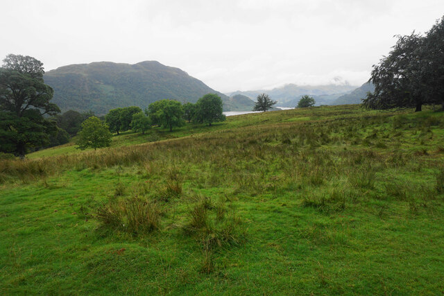
Bernard Pike offers breathtaking panoramic views of the surrounding countryside, including the picturesque valleys and rolling hills of Cumberland. The summit provides a vantage point to observe the scenic beauty of the region, making it a popular spot for photographers and landscape enthusiasts.

The hill/mountain is accessible through various well-marked trails, catering to all levels of fitness and experience. While the ascent may present some challenges, it is considered to be a moderate hike suitable for most individuals. The paths are well-maintained, ensuring a safe and enjoyable experience for visitors.

In addition to its natural beauty, Bernard Pike also holds historical significance. The area is known for its rich mining heritage, and remnants of old mining buildings and equipment can still be found scattered throughout the hill/mountain. These remnants serve as a reminder of the area's industrial past and contribute to its unique character.

Overall, Bernard Pike in Cumberland is a must-visit destination for those seeking to immerse themselves in the natural beauty and history of the region. Whether it is for a challenging hike, stunning views, or a glimpse into the area's industrial past, this hill/mountain offers a rewarding experience for all who venture to its summit.

If you have any feedback on the listing, please let us know in the comments section below.
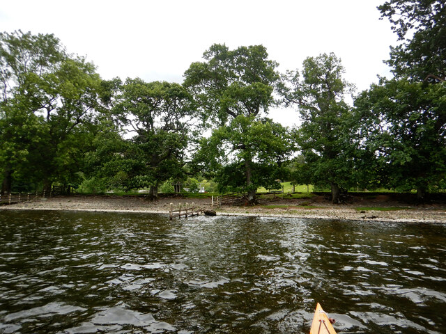
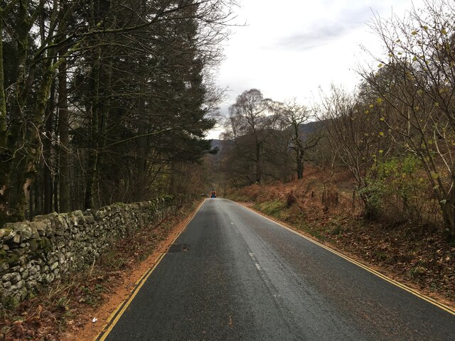
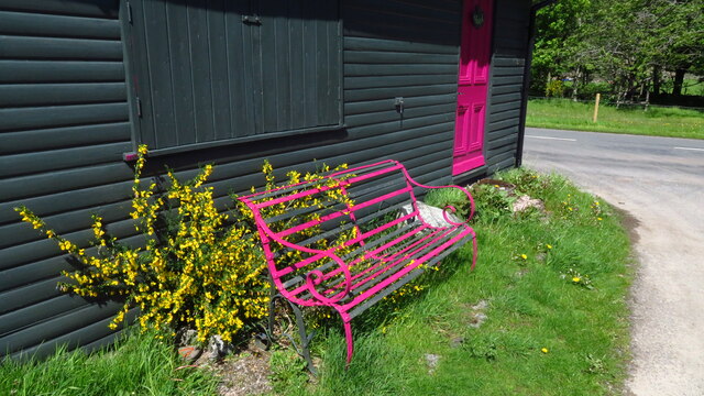
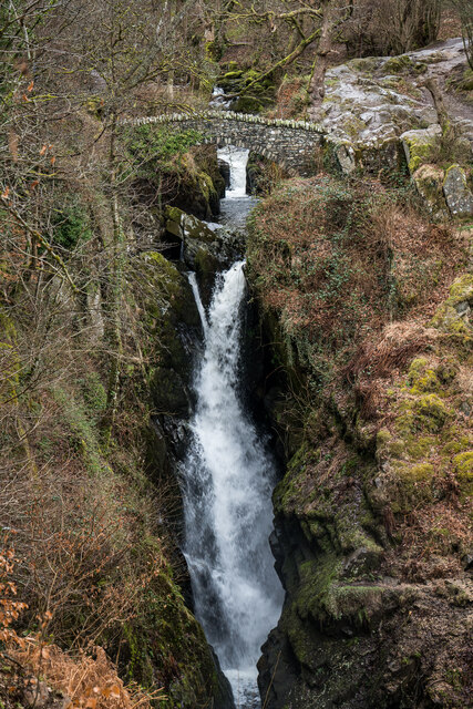
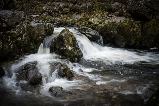
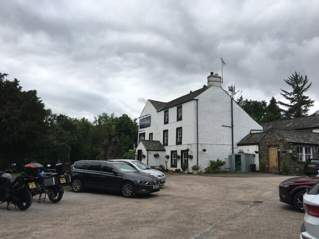
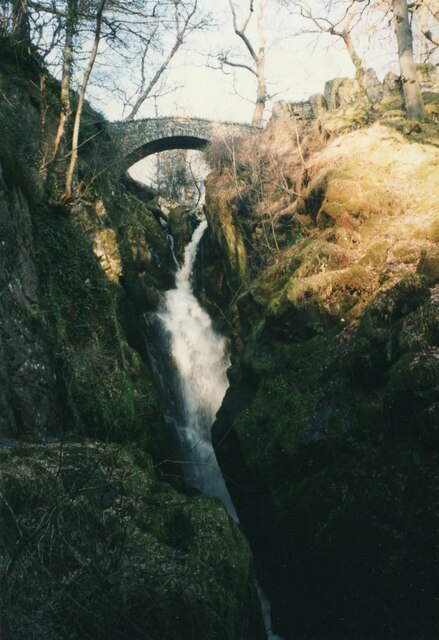
Bernard Pike Images

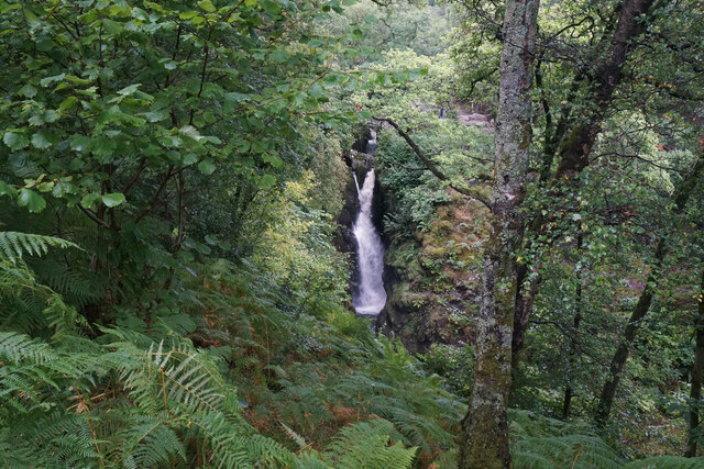
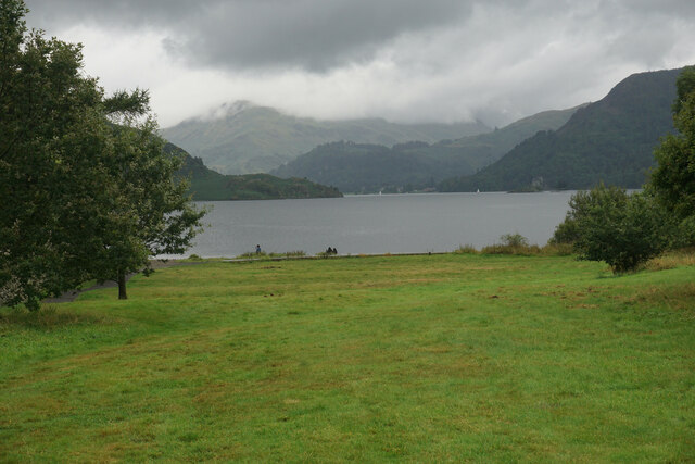
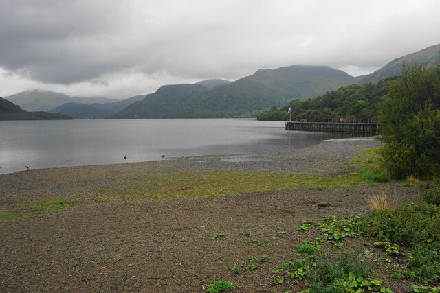
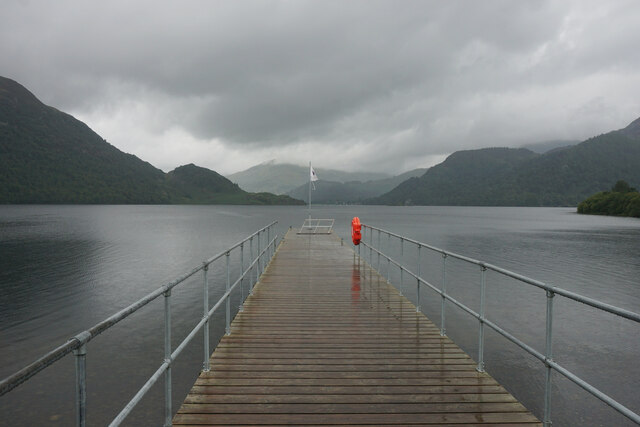
Images are sourced within 2km of 54.577148/-2.9216804 or Grid Reference NY4020. Thanks to Geograph Open Source API. All images are credited.

Ullswater shore west of Sandwick
Dead tree near Groove Gill Dead tree near Groove Gill.
Dead tree near Groove Gill
Dead tree near Groove Gill.
Aira Force Aira Force is a waterfall where Aira Beck plunges an impressive 65 feet down a rocky ravine approximately one kilometre before it reaches Ullswater. 

Aira Force lies on land owned by the National Trust. The Trust purchased the 750 acre Gowbarrow Park (on which the force lies) in 1906 and has provided facilities, such as car parking, disabled access, graded paths, and viewing platforms which have contributed towards making Aira Force one of the most famous and most visited waterfalls in the Lake District.

A small arched bridge spans the stream just as the beck goes over the falls giving a spectacular view from the top as the water makes its leap. There is also a second bridge at the foot of the falls.

<span class="nowrap"><a title="http://www.nationaltrust.org.uk/aira-force-and-ullswater/" rel="nofollow ugc noopener" href="http://www.nationaltrust.org.uk/aira-force-and-ullswater/">Link</a><img style="margin-left:2px;" alt="External link" title="External link - shift click to open in new window" src="https://s1.geograph.org.uk/img/external.png" width="10" height="10"/></span>   Aira Force and Ullswater Visitor Information (National Trust)
Aira Force
Aira Force is a waterfall where Aira Beck plunges an impressive 65 feet down a rocky ravine approximately one kilometre before it reaches Ullswater. Aira Force lies on land owned by the National Trust. The Trust purchased the 750 acre Gowbarrow Park (on which the force lies) in 1906 and has provided facilities, such as car parking, disabled access, graded paths, and viewing platforms which have contributed towards making Aira Force one of the most famous and most visited waterfalls in the Lake District. A small arched bridge spans the stream just as the beck goes over the falls giving a spectacular view from the top as the water makes its leap. There is also a second bridge at the foot of the falls. LinkExternal link Aira Force and Ullswater Visitor Information (National Trust)
Footbridge above Aira Force This footbridge, spanning the top of Aira Force, provides a dramatic view of the waterfall.
Footbridge above Aira Force
This footbridge, spanning the top of Aira Force, provides a dramatic view of the waterfall.
A5091 towards Ullswater
Artist Studio at Dockray
Dockray - Royal Hotel
Grazing land above Aira Beck There is a view down to Ullswater. Place Fell is to the left but the foothills of Helvellyn are hidden by low cloud.
Grazing land above Aira Beck
There is a view down to Ullswater. Place Fell is to the left but the foothills of Helvellyn are hidden by low cloud.
Aira Force The path which goes below the waterfall has been closed due to subsidence, so this is the best view you can currently get of Aira Force.
Aira Force
The path which goes below the waterfall has been closed due to subsidence, so this is the best view you can currently get of Aira Force.
Path to Park Brow The path gives access from the A5091 to the waterfalls on Aira Beck. Round How is in the background.
Path to Park Brow
The path gives access from the A5091 to the waterfalls on Aira Beck. Round How is in the background.
Aira Beck Looking downstream above High Force. The beck descends several waterfalls on its way to Ullswater.
Aira Beck
Looking downstream above High Force. The beck descends several waterfalls on its way to Ullswater.
Open land by Ullswater This open land provides a link between Aira Force and the ferry pier on Ullswater.  A boardwalk can be seen at the bottom, leading to the pier.
Open land by Ullswater
This open land provides a link between Aira Force and the ferry pier on Ullswater. A boardwalk can be seen at the bottom, leading to the pier.
The shore of Ullswater The Aira Force ferry pier is seen on the right.
The shore of Ullswater
The Aira Force ferry pier is seen on the right.
Aira Force ferry pier Serviced by Ullswater steamers. Viewed on a wet day.
Aira Force ferry pier
Serviced by Ullswater steamers. Viewed on a wet day.
Aira Force Waterfall, Dockray, Cumbria
Aira Beck Cascades
Aira Beck Cascades
Royal Hotel, Dockray
Aira Force One of the better known waterfalls in northern England, and not a long walk from the lakeside.
Aira Force
One of the better known waterfalls in northern England, and not a long walk from the lakeside.
Show me another place!

Bernard Pike is located at Grid Ref: NY4020 (Lat: 54.577148, Lng: -2.9216804)

Administrative County: Cumbria

District: Eden

Police Authority: Cumbria

What 3 Words

///quote.golf.mended. Near Keswick, Cumbria

Related Wikis

Aira Force

Aira Force is a waterfall in the English Lake District, in the civil parish of Matterdale and the county of Cumbria. The site of the waterfall is owned...

Gowbarrow Fell

Gowbarrow Fell (Windy hill) is a low fell in the English Lake District. It is an outlier of the Eastern Fells, standing to the north of Ullswater, bounded...

Dockray, Eden

Dockray (traditionally Dockwray) is a village in the civil parish of Matterdale, in the Eden district, in the county of Cumbria, England. In the 2011 census...

Ulcat Row

Ulcat Row (also Ulcatrow) is a village in the civil parish of Matterdale, in the Eden district, in the county of Cumbria, England. In the 2011 census,...

Nearby Amenities

Located within 500m of 54.577148,-2.9216804
Parking
Access: yes
Fee: no
Park Ride: no
Parking: lane
Supervised: no
Surface: compacted
Lat/Long: 54.573223/-2.9179625
Bernard Pike
Place: locality
Lat/Long: 54.5767629/-2.921168
Hind Crag
Place: locality
Lat/Long: 54.5770591/-2.9209336
Tourism: viewpoint
Lat/Long: 54.5776529/-2.921771
Bench
Backrest: yes
Lat/Long: 54.5760681/-2.9289809
Bench
Backrest: yes
Lat/Long: 54.5759619/-2.9285235
Power: pole
Lat/Long: 54.573501/-2.924645
Power: pole
Lat/Long: 54.5734597/-2.9251423
The data included in this document is from www.openstreetmap.org. The data is made available under ODbL.

Have you been to Bernard Pike?

Leave your review of Bernard Pike below (or comments, questions and feedback).