Lyulph's Tower
Heritage Site in Cumberland Eden
England
Lyulph's Tower
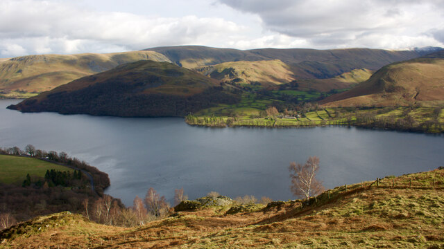
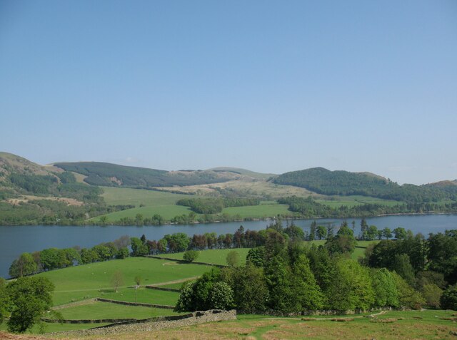
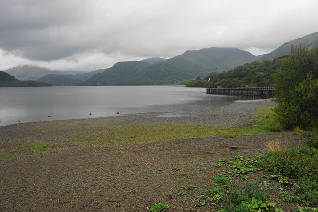
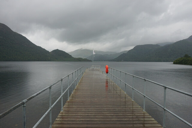
Lyulph's Tower, also known as Lyulph's Castle, is a historic tower located in Cumberland, England. Situated on the eastern shore of Ullswater Lake, it stands in the picturesque landscape of the Lake District National Park. Built in the early 19th century, the tower is a Grade II listed heritage site.
The tower was constructed as a folly, a decorative structure, by Lord Thomas Birkett of Lowther Castle. Its purpose was to enhance the landscape and provide a romantic retreat for Lord Birkett's family. The tower is named after Lyulph, a legendary Viking chieftain who was said to have lived in the area.
Lyulph's Tower is a three-story structure made of local stone. It features a crenelated parapet and large windows that offer breathtaking views of the surrounding countryside. The tower's architecture reflects the Gothic Revival style popular during the time of its construction.
Although the tower is not open to the public, it remains an iconic landmark of the Lake District. Visitors can enjoy the tower from a distance and appreciate its historical significance and architectural beauty. The tower's location on the shores of Ullswater Lake adds to its charm, allowing visitors to take in the stunning natural scenery that inspired poets and artists throughout the centuries.
Lyulph's Tower stands as a testament to the romantic ideals of the 19th century and is a cherished part of the cultural and historical heritage of Cumberland.
If you have any feedback on the listing, please let us know in the comments section below.
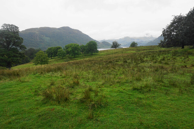
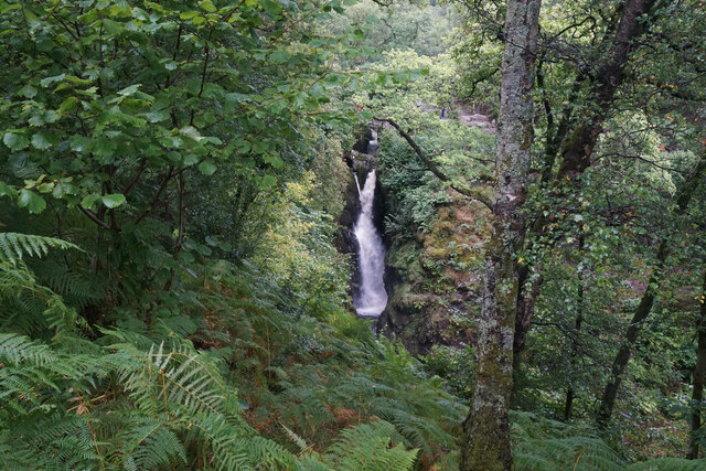
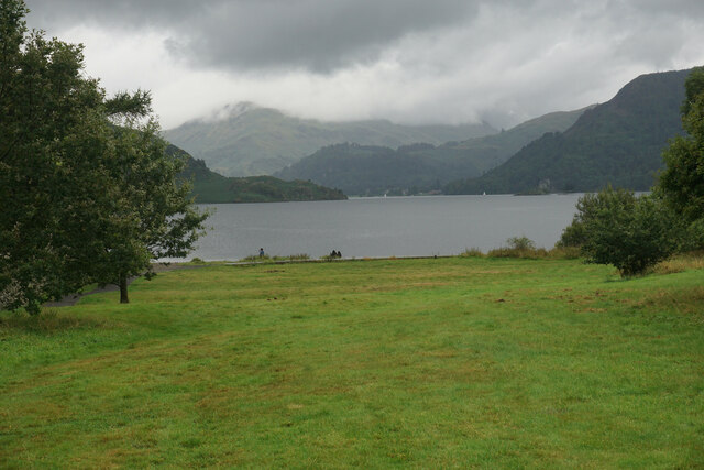
Lyulph's Tower Images
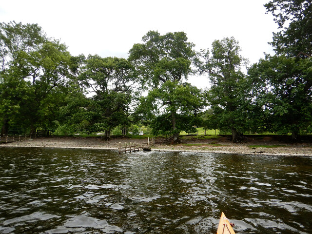
Images are sourced within 2km of 54.575/-2.92 or Grid Reference NY4020. Thanks to Geograph Open Source API. All images are credited.


Lyulph's Tower is located at Grid Ref: NY4020 (Lat: 54.575, Lng: -2.92)
Administrative County: Cumbria
District: Eden
Police Authority: Cumbria
What 3 Words
///headlines.simulations.candles. Near Keswick, Cumbria
Nearby Locations
Related Wikis

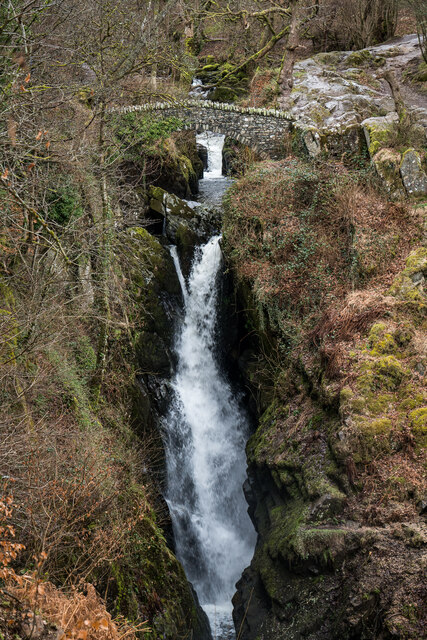
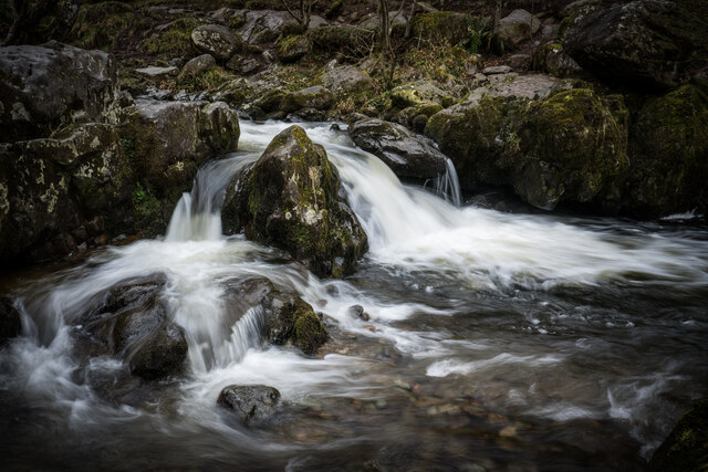
Aira Force
Aira Force is a waterfall in the English Lake District, in the civil parish of Matterdale and the county of Cumbria. The site of the waterfall is owned...

Gowbarrow Fell
Gowbarrow Fell (Windy hill) is a low fell in the English Lake District. It is an outlier of the Eastern Fells, standing to the north of Ullswater, bounded...
Dockray, Eden
Dockray (traditionally Dockwray) is a village in the civil parish of Matterdale, in the Eden district, in the county of Cumbria, England. In the 2011 census...

Ulcat Row
Ulcat Row (also Ulcatrow) is a village in the civil parish of Matterdale, in the Eden district, in the county of Cumbria, England. In the 2011 census,...
Nearby Amenities
Located within 500m of 54.575,-2.92Have you been to Lyulph's Tower?
Leave your review of Lyulph's Tower below (or comments, questions and feedback).