Gowbarrow Park
Downs, Moorland in Cumberland Eden
England
Gowbarrow Park
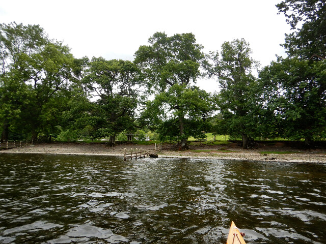
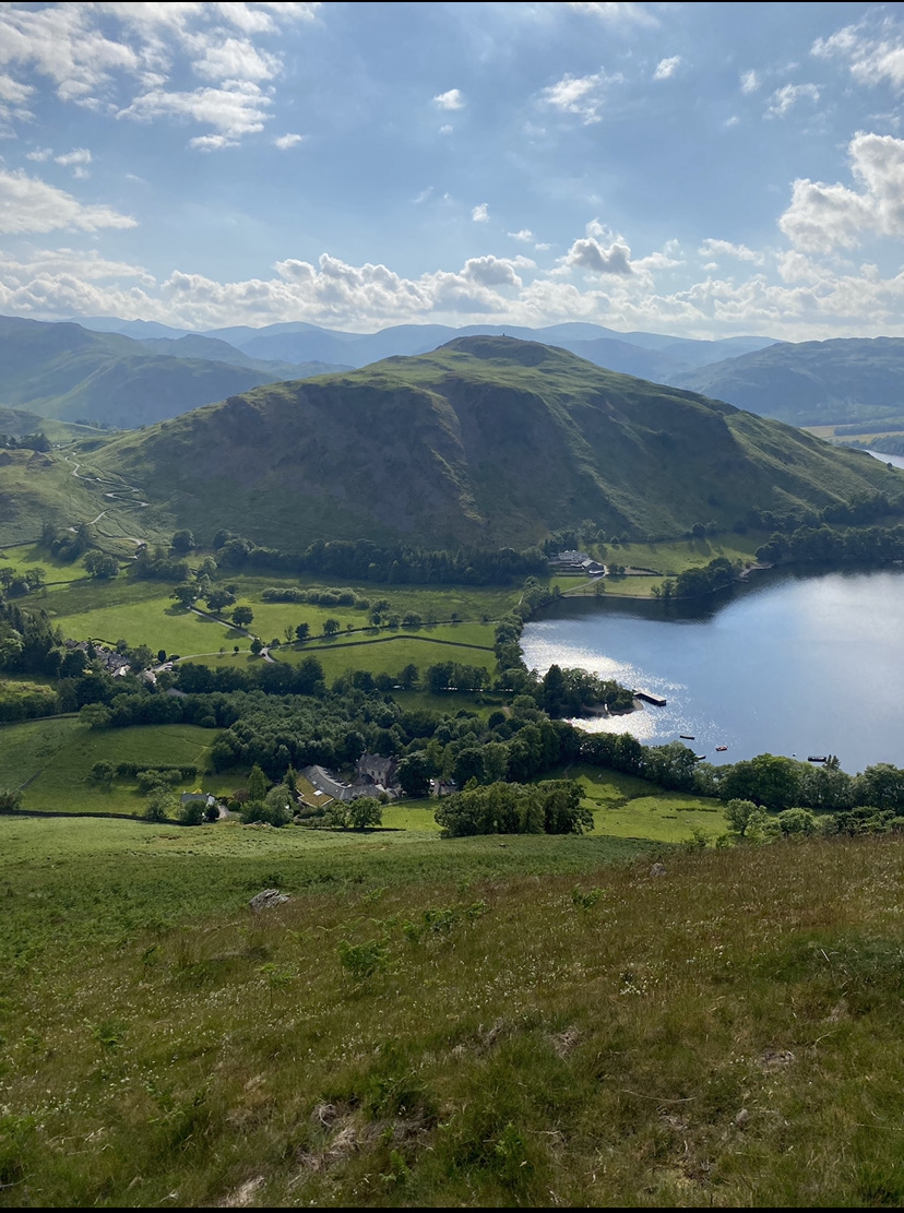
Gowbarrow Park, located in Cumberland, England, is a picturesque and scenic area known for its stunning landscapes and diverse wildlife. Situated on the edge of the Lake District National Park, the park encompasses a vast expanse of downs and moorland, offering visitors a unique and immersive nature experience.
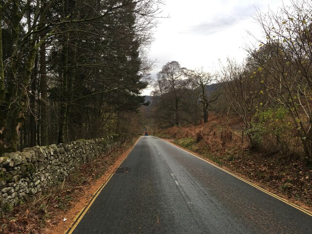
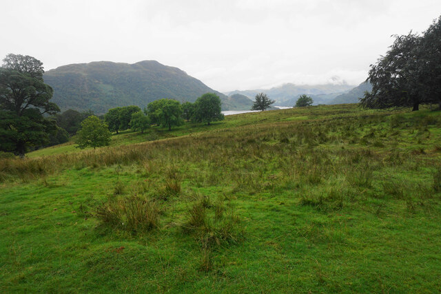
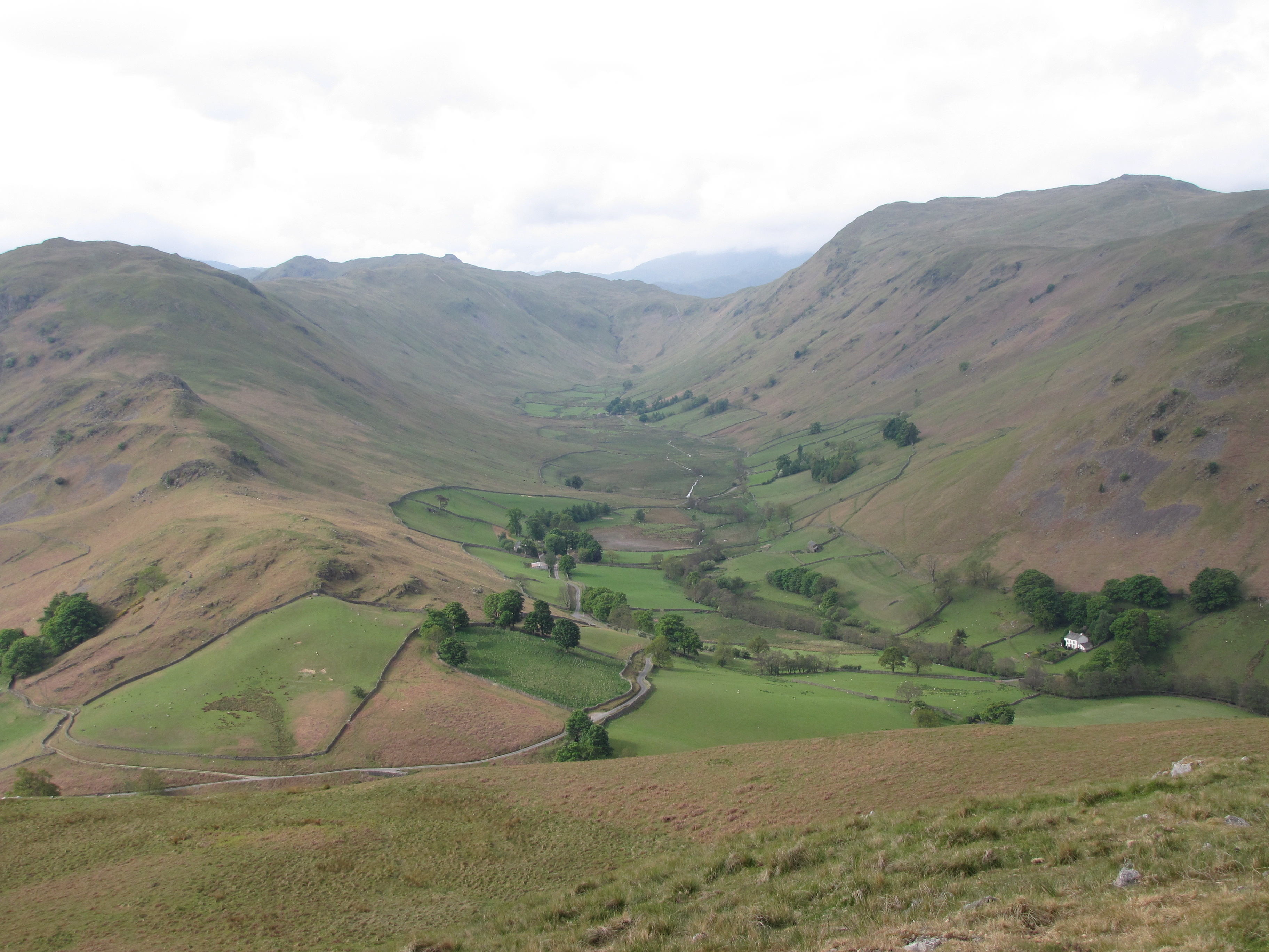
The park boasts rolling hills and undulating terrain, providing breathtaking panoramic views of the surrounding countryside. The lush greenery and heather-clad moorlands create a visually striking backdrop, making it a popular destination for outdoor enthusiasts and nature lovers alike.
Home to a rich array of flora and fauna, Gowbarrow Park is a haven for wildlife enthusiasts. Visitors can spot a variety of bird species, including red grouse, skylarks, and buzzards, as well as mammals such as red deer and badgers. The park also boasts several rare plant species, adding to its ecological significance.
For those seeking outdoor activities, Gowbarrow Park offers numerous walking trails and hiking routes that cater to all levels of fitness and ability. The park is famous for its challenging and rewarding hikes, with the summit of Gowbarrow Fell being a popular destination for adventurous climbers.
Gowbarrow Park is not only a natural paradise but also holds historical importance. It is believed to have inspired the renowned poet William Wordsworth, who composed his famous poem "Daffodils" after encountering a field of the vibrant flowers in the park.
Overall, Gowbarrow Park in Cumberland offers visitors an opportunity to immerse themselves in the beauty of nature, explore diverse landscapes, and enjoy a range of outdoor activities in a tranquil and picturesque setting.
If you have any feedback on the listing, please let us know in the comments section below.
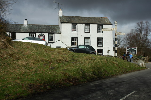
Gowbarrow Park Images
Images are sourced within 2km of 54.580492/-2.9191567 or Grid Reference NY4020. Thanks to Geograph Open Source API. All images are credited.


Gowbarrow Park is located at Grid Ref: NY4020 (Lat: 54.580492, Lng: -2.9191567)
Administrative County: Cumbria
District: Eden
Police Authority: Cumbria
What 3 Words
///wash.makeovers.ripples. Near Penrith, Cumbria
Nearby Locations
Related Wikis

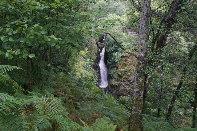
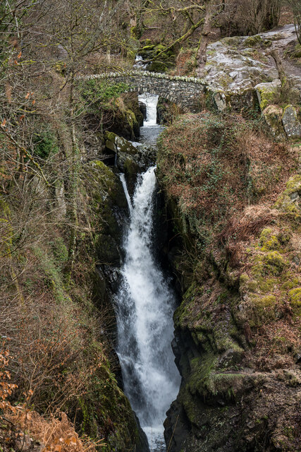
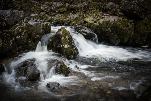
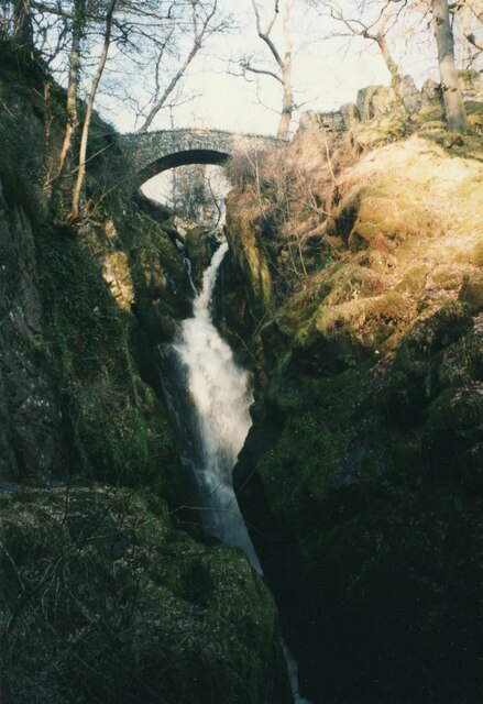
Aira Force
Aira Force is a waterfall in the English Lake District, in the civil parish of Matterdale and the county of Cumbria. The site of the waterfall is owned...

Gowbarrow Fell
Gowbarrow Fell (Windy hill) is a low fell in the English Lake District. It is an outlier of the Eastern Fells, standing to the north of Ullswater, bounded...
Dockray, Eden
Dockray (traditionally Dockwray) is a village in the civil parish of Matterdale, in the Eden district, in the county of Cumbria, England. In the 2011 census...

Ulcat Row
Ulcat Row (also Ulcatrow) is a village in the civil parish of Matterdale, in the Eden district, in the county of Cumbria, England. In the 2011 census,...

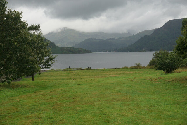
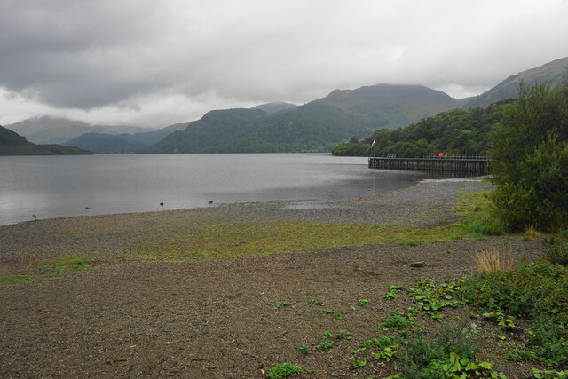
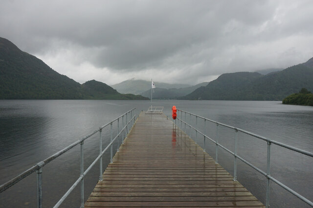
Ullswater
Ullswater is a glacial lake in Cumbria, England and part of the Lake District National Park. It is the second largest lake in the region by both area and...
Hallin Fell
Hallin Fell is a hill in the English Lake District surrounded on three sides by Ullswater. == Topography == The fell is a continuation of the ridge leading...

Matterdale
Matterdale is a civil parish in the Lake District of Cumbria, England. It lies on the northern shore of Ullswater. The parish includes the settlements...
Boredale
Boredale sometimes known as Boardale, is a valley within Lake District National Park, in Cumbria, England. The valley is close to the eastern shore of...
Nearby Amenities
Located within 500m of 54.580492,-2.9191567Have you been to Gowbarrow Park?
Leave your review of Gowbarrow Park below (or comments, questions and feedback).