Port Moor

Downs, Moorland in Somerset South Somerset

England

Port Moor

Flats fields, and a railway line out there somewhere
Flats fields, and a railway line out there somewhere Credit: Rob Purvis

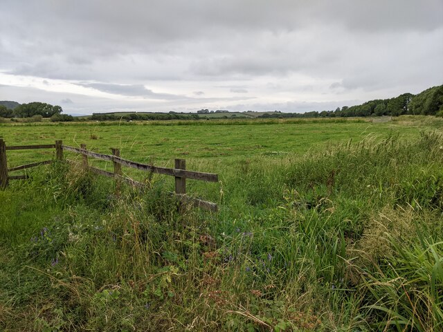
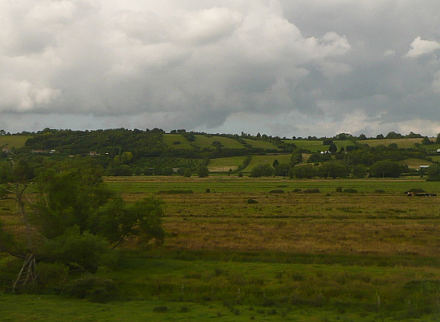
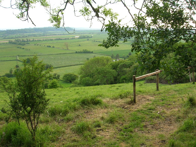
Port Moor is a small village located in the county of Somerset, England. Situated on the western edge of the Exmoor National Park, it is known for its picturesque surroundings of downs and moorland. The village is nestled between rolling hills and offers stunning views of the countryside.

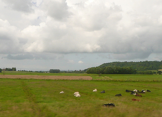
Port Moor is a rural community with a population of approximately 300 residents. Its tranquil atmosphere attracts nature enthusiasts and outdoor lovers who can explore the surrounding moorland on foot or by bike. The area is home to a variety of wildlife, including red deer and Exmoor ponies, making it a popular spot for wildlife spotting and birdwatching.

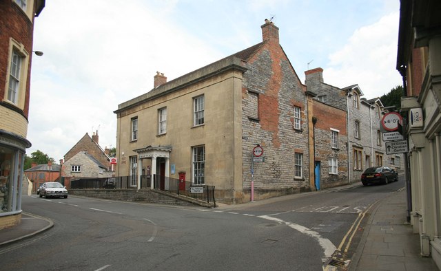
The village itself has a charming character, with traditional stone cottages and a small, historic church dating back to the 13th century. The local pub, The Moorland Inn, is a hub for socializing and offers a cozy atmosphere for locals and visitors alike.

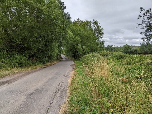
Despite its remote location, Port Moor is well-connected to nearby towns and cities. The village has regular bus services that provide transportation to neighboring towns, such as Minehead and Taunton. The nearby A39 road also offers easy access to the coastal town of Porlock and the popular tourist destination of Lynton and Lynmouth.

Port Moor, with its natural beauty and tranquil setting, provides a peaceful retreat for those seeking a break from the hustle and bustle of city life.

If you have any feedback on the listing, please let us know in the comments section below.
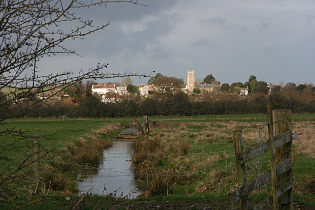
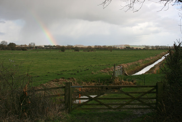
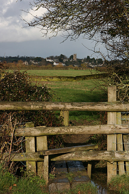
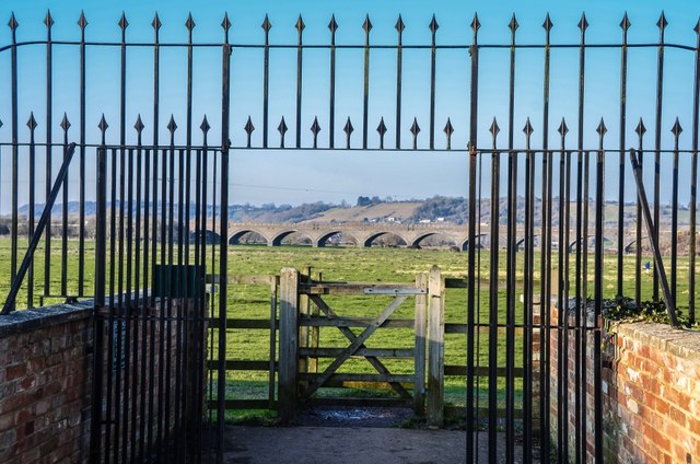
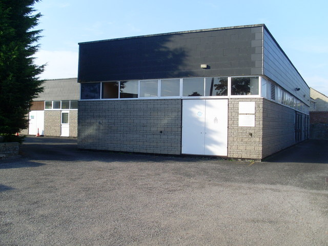
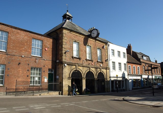
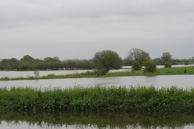
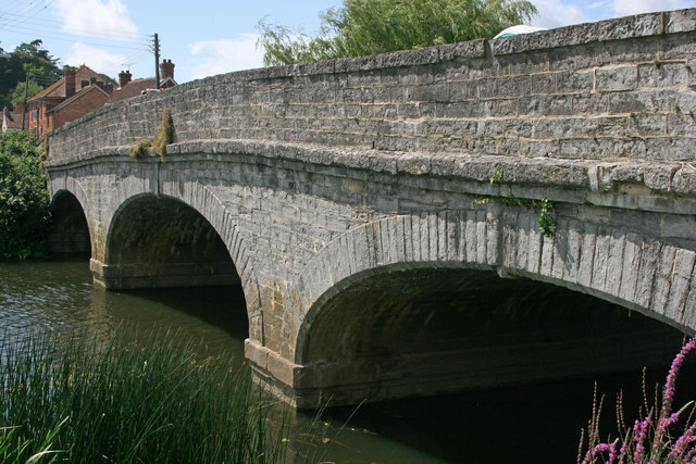
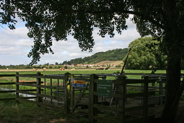
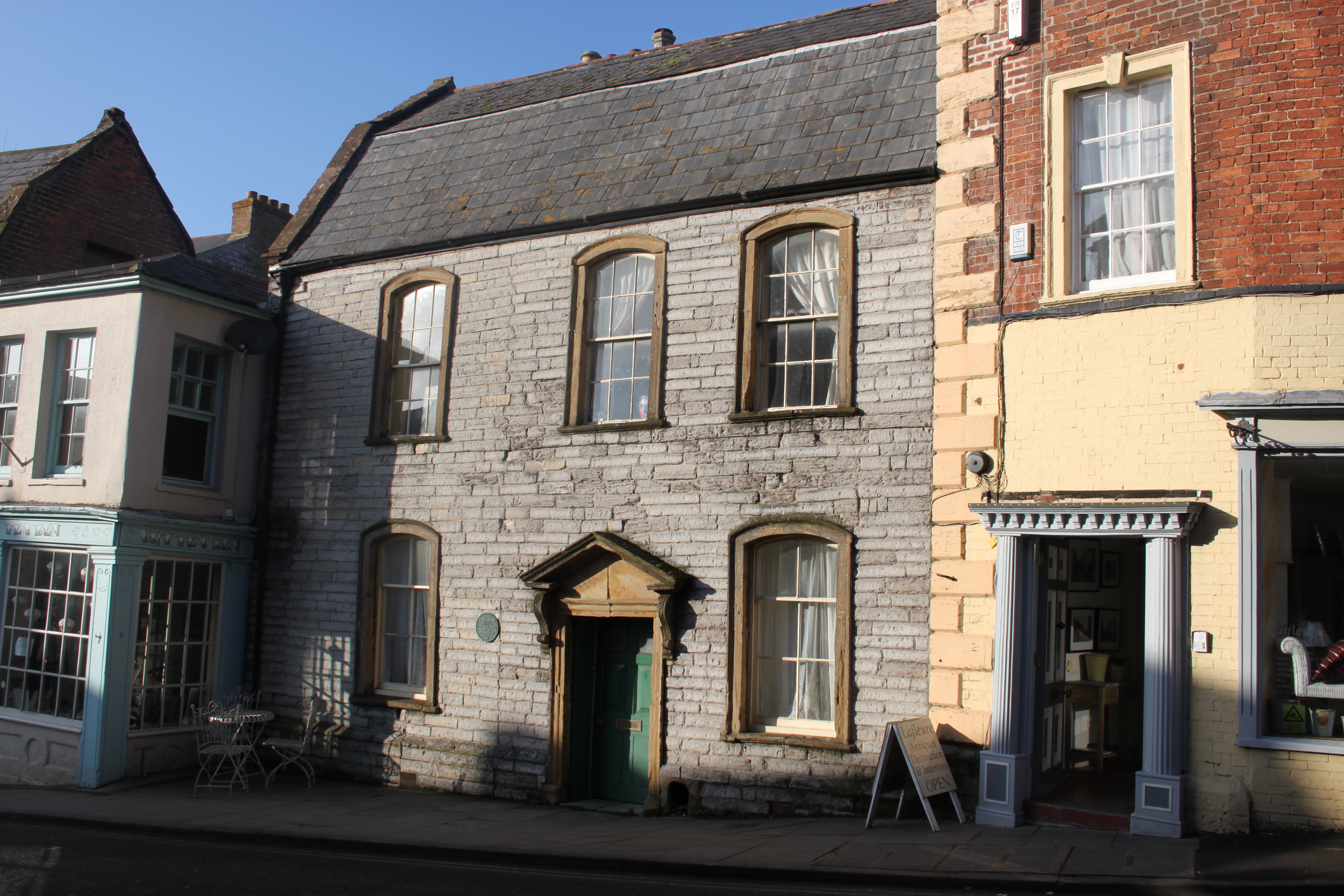
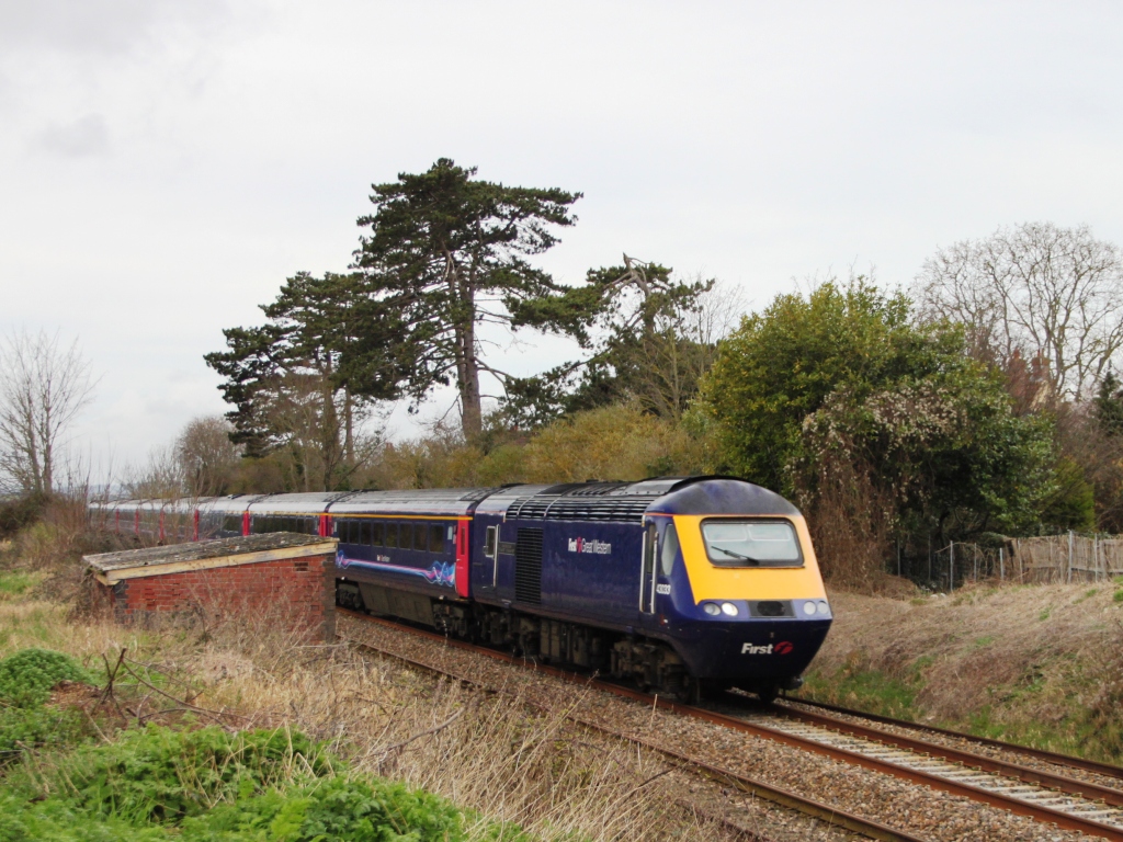
Port Moor Images

Images are sourced within 2km of 51.044195/-2.8467859 or Grid Reference ST4027. Thanks to Geograph Open Source API. All images are credited.

Flats fields, and a railway line out there somewhere
Lane heading towards Wick
The Post Office at Langport
Port Moor Part of the Somerset Levels, where all the lines you see are one sort of ditch or another.  Looking north towards Aller Hill <a href="https://www.geograph.org.uk/gridref/ST4029">ST4029</a>
This photo was taken from the 1158 Penzance to London Paddington train, having left Taunton at 1529.
Port Moor
Part of the Somerset Levels, where all the lines you see are one sort of ditch or another. Looking north towards Aller Hill ST4029 This photo was taken from the 1158 Penzance to London Paddington train, having left Taunton at 1529.
Poolmead An area of what looks like particularly wet and poor quality pasture to the north-west of Langport, despite the many drainage ditches.  On the map this has almost a paddy field quality.
This photo was taken from the 1158 Penzance to London Paddington train, having left Taunton at 1529.
Poolmead
An area of what looks like particularly wet and poor quality pasture to the north-west of Langport, despite the many drainage ditches. On the map this has almost a paddy field quality. This photo was taken from the 1158 Penzance to London Paddington train, having left Taunton at 1529.
Langport across Huish Level
Huish Level, Langport
Langport from the footpath to Drayton
Langport: Bow Street
Langport: View across Little Moor towards the Viaduct
Langport: Bow Street
Langport Telephone Exchange Situated in Old Market Square off the A378 North Street, this modern TE would have replaced a smaller building from the GPO era during the early 1970s. Besides Langport, this TE also serves Aller, Bramwell, Curry Rivel, Drayton, Henley, High Ham, Huish Episcopi, Low Ham, Muchelney, Pibsbury, Pitney and Wearne nearby. This TE has (01458) 25xxxx numbers, the (01458) referring to the Glastonbury group of TEs, and its postcode is TA10 9RP.
Langport Telephone Exchange
Situated in Old Market Square off the A378 North Street, this modern TE would have replaced a smaller building from the GPO era during the early 1970s. Besides Langport, this TE also serves Aller, Bramwell, Curry Rivel, Drayton, Henley, High Ham, Huish Episcopi, Low Ham, Muchelney, Pibsbury, Pitney and Wearne nearby. This TE has (01458) 25xxxx numbers, the (01458) referring to the Glastonbury group of TEs, and its postcode is TA10 9RP.
The Town Hall, Langport
Langport West station, with the final train to Yeovil Langport West station on the day that the Yeovil Town - Durston line closed. The final train for Yeovil awaits departure at dusk.
Langport West station, with the final train to Yeovil
Langport West station on the day that the Yeovil Town - Durston line closed. The final train for Yeovil awaits departure at dusk.
River Parrett flooded at Langport Langport Floods, Town behind camera, looking towards Muchelney.
River Parrett flooded at Langport
Langport Floods, Town behind camera, looking towards Muchelney.
Langport church from the river
Langport bridge
Langport bridge
Coy Orchard Tilting Weir
Show me another place!

Port Moor is located at Grid Ref: ST4027 (Lat: 51.044195, Lng: -2.8467859)

Administrative County: Somerset

District: South Somerset

Police Authority: Avon and Somerset

What 3 Words

///inflame.goofy.privately. Near Langport, Somerset

Nearby Locations

Port Moor

Related Wikis

Aller, Somerset

Aller is a village and parish in Somerset, England, situated 5 miles (8.0 km) west of Somerton on the A372 road towards Bridgwater. The village has a population...

Warehouse, Langport

The Warehouse in Great Bow Yard Langport, Somerset, England is an example of Victorian industrial architecture. The Warehouse was built in the late 18th...

Langport Town Hall

Langport Town Hall is a municipal building in Bow Street in Langport, Somerset, England. The building, which is the meeting place of Langport Town Council...

Tudor House, Langport

The Tudor House is an 18th-century house in Langport, Somerset, England. It was built in 1776 but had fallen into disrepair until it was bought and restored...

Langport

Langport is a town and civil parish in Somerset, England, 5 miles (8 km) west of Somerton. The parish, which covers only part of the town, has a population...

Langport East railway station

Langport East was a railway station situated in Langport in Somerset. The station also served Huish Episcopi. The station was on the Langport and Castle...

Langport Rural District

Langport was a rural district in Somerset, England, from 1894 to 1974. It was created in 1894 under the Local Government Act 1894. In 1974 it was abolished...

Aller Hill

Aller Hill (grid reference ST408291) is an 18.4 hectare (45.4 acre) biological Site of Special Scientific Interest near Aller in Somerset, notified in...

Nearby Amenities

Located within 500m of 51.044195,-2.8467859
Monk's Leaze Clyse
Man Made: monitoring_station
Monitoring Water Level: yes
Operator: Environment Agency
Recording Automated: yes
Recording Remote: yes
Lat/Long: 51.0446843/-2.8438002
Curry Rivel Junction
Historic Railway: junction
Railway: site
Lat/Long: 51.0426992/-2.8472887
Power: pole
Lat/Long: 51.039959/-2.8488964
Power: pole
Lat/Long: 51.0408186/-2.8484268
Power: pole
Lat/Long: 51.0416683/-2.847952
Power: pole
Lat/Long: 51.0425274/-2.8474697
Power: pole
Lat/Long: 51.0434289/-2.8461476
Power: pole
Lat/Long: 51.0438499/-2.8450745
Power: pole
Lat/Long: 51.0442829/-2.8440283
Power: pole
Lat/Long: 51.0446766/-2.8430708
Power: pole
Lat/Long: 51.0451801/-2.8418708
Power: pole
Lat/Long: 51.0456837/-2.840642
Communication Gsm-r: yes
Man Made: antenna
Tower Type: communication
Lat/Long: 51.0425072/-2.8462898
Power: pole
Lat/Long: 51.0436874/-2.8455089
Power: pole
Lat/Long: 51.0446681/-2.8534111
Power: pole
Lat/Long: 51.0444303/-2.8515031
Power: pole
Lat/Long: 51.0442034/-2.8496811
Power: pole
Lat/Long: 51.0439872/-2.8479923
Power: pole
Lat/Long: 51.043763/-2.8462948
Power: pole
Lat/Long: 51.0435766/-2.8448209
Power: pole
Lat/Long: 51.0433766/-2.8432481
Power: pole
Lat/Long: 51.0422635/-2.8427324
Power: pole
Lat/Long: 51.0419609/-2.8425992
Power: pole
Lat/Long: 51.0413772/-2.8422984
Power: pole
Lat/Long: 51.0420792/-2.8428309
Power: pole
Lat/Long: 51.0422576/-2.842899
Power: pole
Lat/Long: 51.0432242/-2.843269
Power: pole
Lat/Long: 51.0435567/-2.8434044
Power: pole
Lat/Long: 51.0442608/-2.8431295
Power: pole
Lat/Long: 51.0446126/-2.8429904
Power: pole
Lat/Long: 51.0412298/-2.8425126
Poles: bipole
Power: pole
Lat/Long: 51.0429824/-2.8472027
The data included in this document is from www.openstreetmap.org. The data is made available under ODbL.

Have you been to Port Moor?

Leave your review of Port Moor below (or comments, questions and feedback).