Green Hill

Hill, Mountain in Lancashire South Lakeland

England

Green Hill

Hubbersty Head Lane
Hubbersty Head Lane Credit: Anthony Parkes

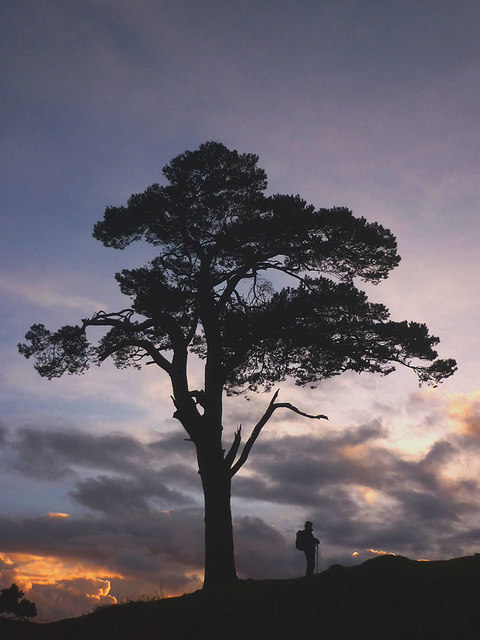
Green Hill is a prominent natural landmark located in the county of Lancashire, England. Situated in the northern part of the county, Green Hill stands at an elevation of 456 meters (1,496 feet) above sea level, making it one of the highest peaks in the area. The hill is part of the larger Pennine range, which stretches across several counties in northern England.

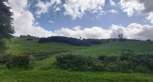
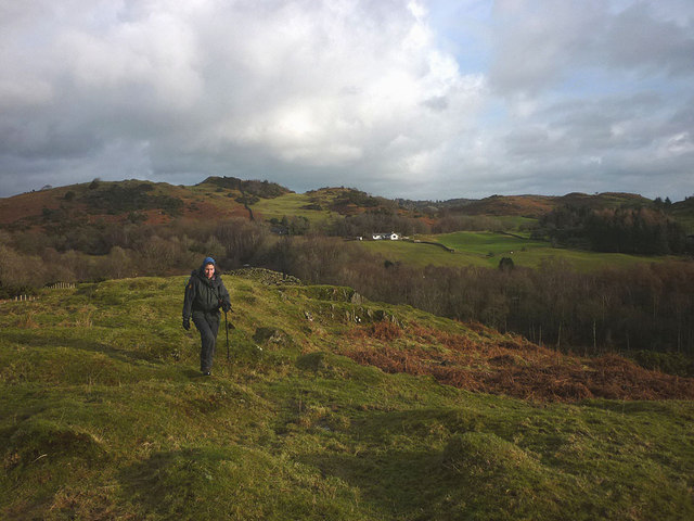
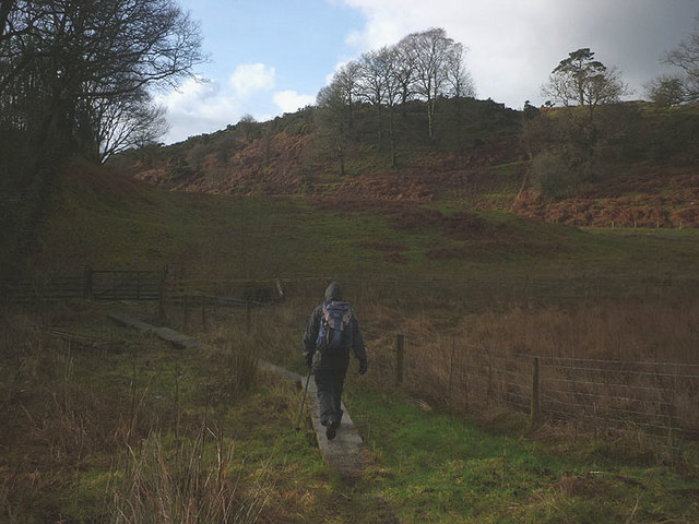
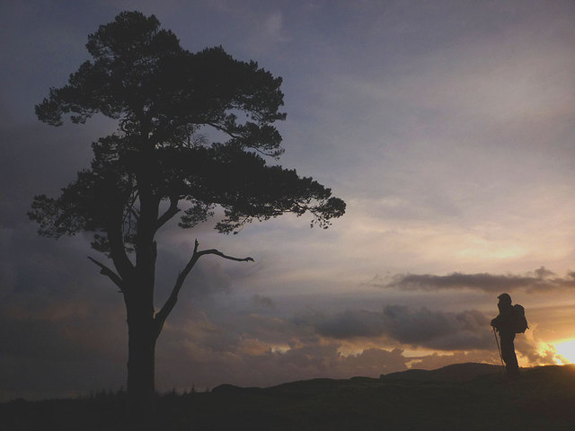
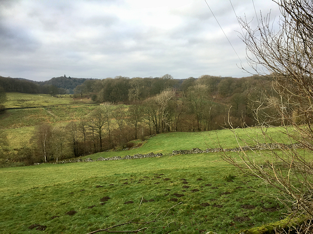
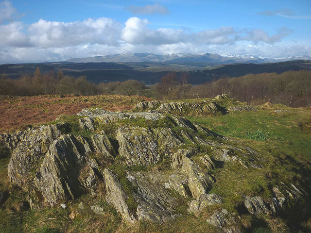
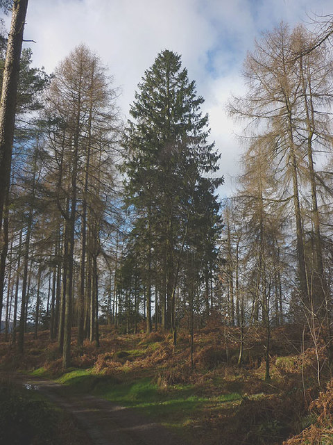
Characterized by its verdant slopes and lush vegetation, Green Hill offers breathtaking panoramic views of the surrounding countryside. The hill is covered in a mixture of grasses, heather, and shrubs, creating a picturesque landscape that is a haven for nature enthusiasts and hikers alike.

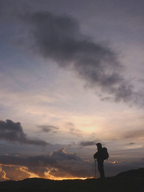
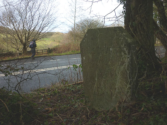
Green Hill is a popular destination for outdoor activities such as hiking, hillwalking, and birdwatching. Numerous well-marked trails lead visitors through its diverse terrain, including rocky outcrops and gentle slopes. The hill is home to a variety of bird species, including peregrine falcons, kestrels, and curlews, making it a haven for birdwatchers.

In addition to its natural beauty, Green Hill is also steeped in history. The area has evidence of human habitation dating back thousands of years, with ancient burial mounds and stone circles found in the vicinity. The hill itself has been used for farming and grazing livestock for centuries, and remnants of old dry stone walls can still be seen dotting the landscape.

Overall, Green Hill in Lancashire is a captivating natural landmark, offering both stunning views and a rich historical background. Its serene and unspoiled surroundings make it a must-visit destination for those seeking a tranquil escape into nature.

If you have any feedback on the listing, please let us know in the comments section below.
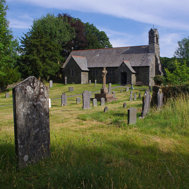
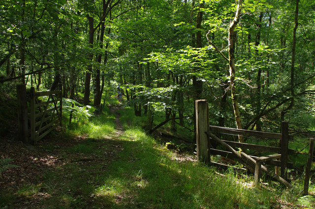
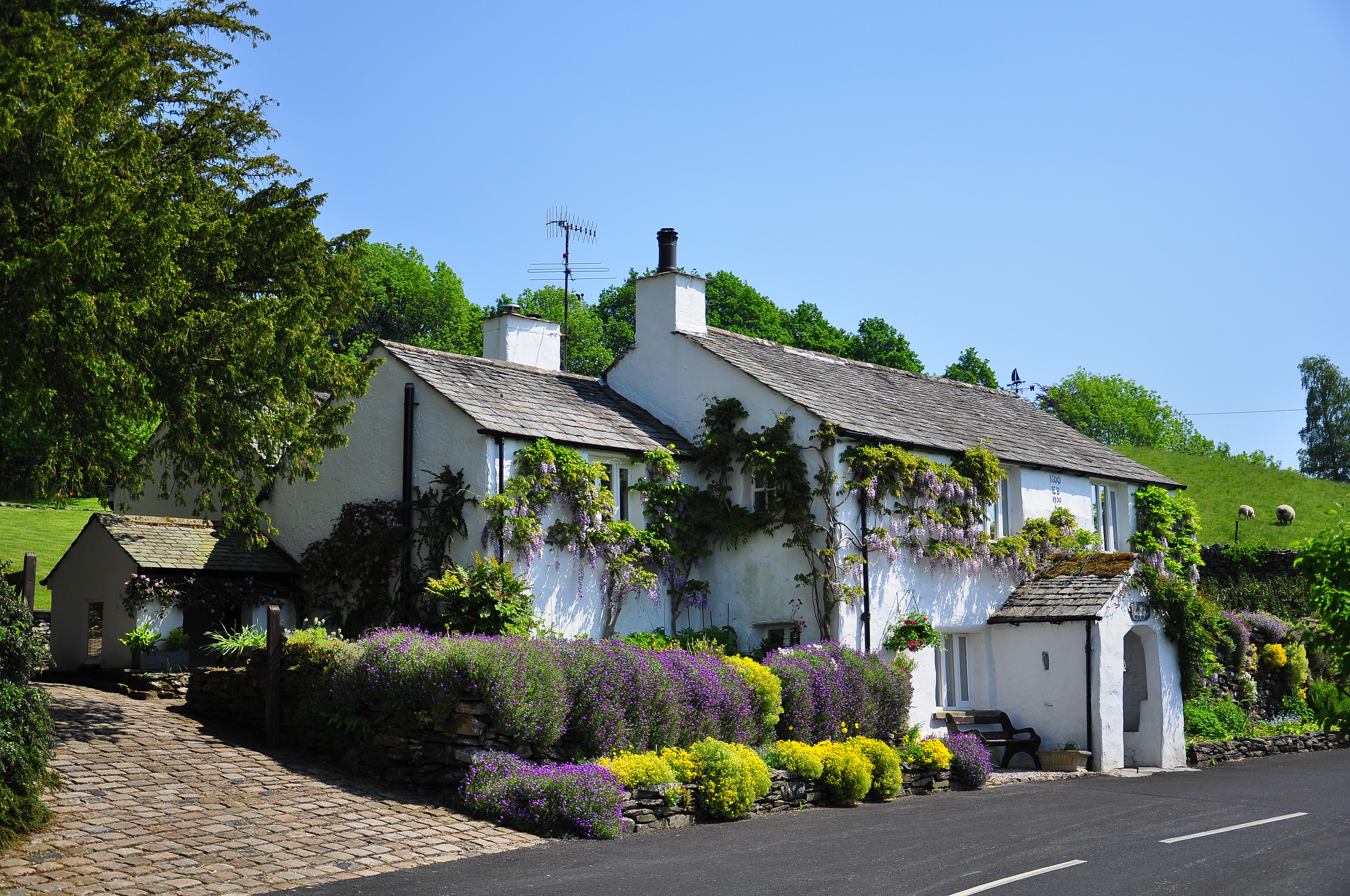
Green Hill Images

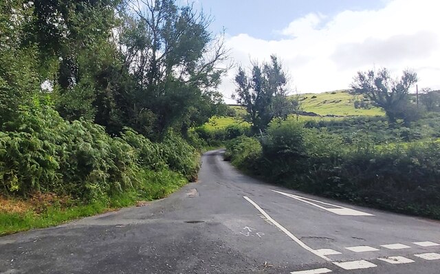
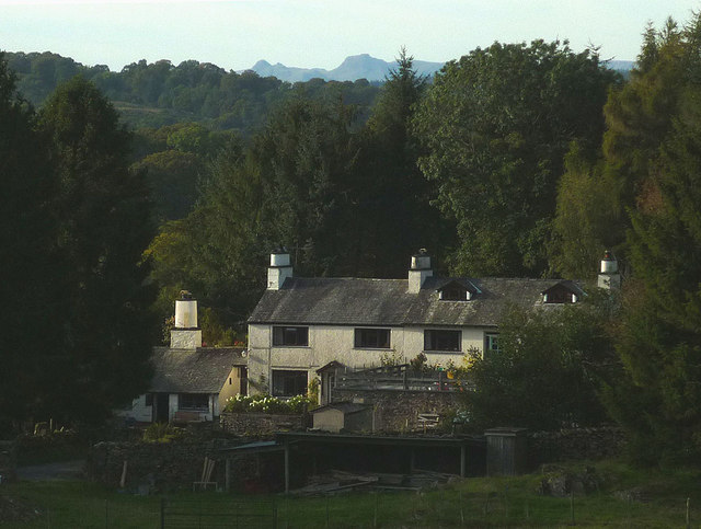
Images are sourced within 2km of 54.31983/-2.9159789 or Grid Reference SD4091. Thanks to Geograph Open Source API. All images are credited.

Hubbersty Head Lane
Hubbersty Head Lane
Track up Windyhowe Hill
Greenbank Farm The distinctive outline of the Langdale Pikes on the skyline.
Greenbank Farm
The distinctive outline of the Langdale Pikes on the skyline.
Winter dusk, Winster Valley Watching the colours in the sky as the sun sets behind Gummer's How.
Winter dusk, Winster Valley
Watching the colours in the sky as the sun sets behind Gummer's How.
Hawkearth Bank The bank is a rough, low ridge of Silurian rock rising above the Winster Valley, typical of the countryside east of Windermere. Beyond, is the higher ground of Scott Howe (171m)
Hawkearth Bank
The bank is a rough, low ridge of Silurian rock rising above the Winster Valley, typical of the countryside east of Windermere. Beyond, is the higher ground of Scott Howe (171m)
Parish boundary stone Carved with Crosthwaite and Winster on opposite sides.
Parish boundary stone
Carved with Crosthwaite and Winster on opposite sides.
The footpath to Birks Bridge Due to much recent rainfall, the path is very soft in places, especially crossing Hawkearth Moss where a few duckboards have been placed.
The footpath to Birks Bridge
Due to much recent rainfall, the path is very soft in places, especially crossing Hawkearth Moss where a few duckboards have been placed.
Lonesome pine, Winster Valley Scots pine to be exact. Scots pines are not that common here and this one sits on open ground so is quite prominent. A good place to stand and watch the sky change colour as the sun sets behind Gummer's How.
Lonesome pine, Winster Valley
Scots pine to be exact. Scots pines are not that common here and this one sits on open ground so is quite prominent. A good place to stand and watch the sky change colour as the sun sets behind Gummer's How.
Lonesome pine, Winster Valley (2) Scots pine to be exact. Scots pines are not that common here and this one sits on open ground so is quite prominent. A good place to stand and watch the sky change colour as the sun sets behind Gummer's How.
Lonesome pine, Winster Valley (2)
Scots pine to be exact. Scots pines are not that common here and this one sits on open ground so is quite prominent. A good place to stand and watch the sky change colour as the sun sets behind Gummer's How.
The oldest swinger in town! Whoever invented rope and stick swings should get a medal.
The oldest swinger in town!
Whoever invented rope and stick swings should get a medal.
A5074 South of Winster
A5074 Southbound
A5074 Southbound
Farmland near Winster Looking westwards from the A5074, south of Winster.
Farmland near Winster
Looking westwards from the A5074, south of Winster.
On Rulbutts Hill Rulbutts Hill is an area of bracken, small rock outcrops and scrub. Although rougher than Scout Hill just to the north it is not CRoW access land. There is however a permissive path which runs from the end of the public footpath there, southwards to the footpath leading to Rosthwaite Farm. There are excellent views from the summit, here towards the snow-streaked central fells.
On Rulbutts Hill
Rulbutts Hill is an area of bracken, small rock outcrops and scrub. Although rougher than Scout Hill just to the north it is not CRoW access land. There is however a permissive path which runs from the end of the public footpath there, southwards to the footpath leading to Rosthwaite Farm. There are excellent views from the summit, here towards the snow-streaked central fells.
Footpath through Spring Wood Heading west towards Rosthwaite Farm through a stand of towering larches and firs.
Footpath through Spring Wood
Heading west towards Rosthwaite Farm through a stand of towering larches and firs.
Cart at Rosthwaite Farm A pink-painted cart by the side of the track.
Cart at Rosthwaite Farm
A pink-painted cart by the side of the track.
Holy Trinity Church, Winster Built in 1874-5.
Holy Trinity Church, Winster
Built in 1874-5.
Gateway, Lambhowe Plantation Public footpath through mixed woodland.
Gateway, Lambhowe Plantation
Public footpath through mixed woodland.
Show me another place!

Green Hill is located at Grid Ref: SD4091 (Lat: 54.31983, Lng: -2.9159789)

Administrative County: Cumbria

District: South Lakeland

Police Authority: Cumbria

What 3 Words

///funnels.blotting.forge. Near Windermere, Cumbria

Related Wikis

Moor Crag

Moor Crag (sometimes Moorcrag) is a Grade I listed house near Bowness-on-Windermere in South Lakeland, Cumbria, England, overlooking Windermere. It lies...

Broad Leys

Broad Leys is a house located in Ghyll Head, near Bowness-on-Windermere, South Lakeland, Cumbria, England. It is in the northern part of the parish of...

Windermere Motor Boat Racing Club

The Windermere Motor Boat Racing Club is a British boating club based at Bowness-on-Windermere, Cumbria. The Club was founded in the 1920s. Its present...

Winster, Cumbria

Winster is a village in the South Lakeland District of Cumbria, in North West England. Historically within the county of Westmorland, it is situated less...

Nearby Amenities

Located within 500m of 54.31983,-2.9159789
Barrier: kissing_gate
Lat/Long: 54.3178991/-2.9166495
Barrier: kissing_gate
Lat/Long: 54.3185971/-2.9184352
Barrier: cattle_grid
Lat/Long: 54.3205867/-2.9178738
The data included in this document is from www.openstreetmap.org. The data is made available under ODbL.

Have you been to Green Hill?

Leave your review of Green Hill below (or comments, questions and feedback).