Brow Wood

Wood, Forest in Lancashire South Lakeland

England

Brow Wood

Whinny Knott
Whinny Knott Credit: David Brown

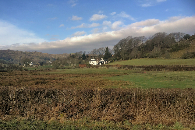
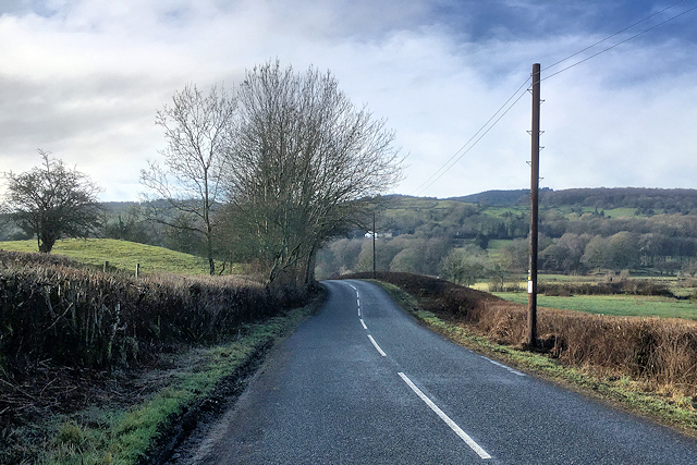
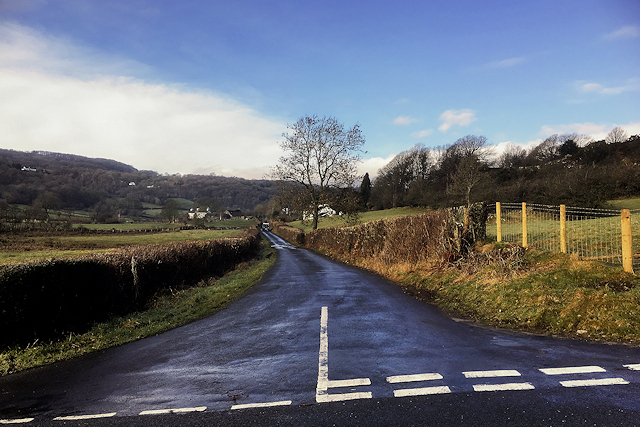
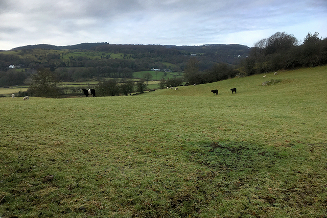
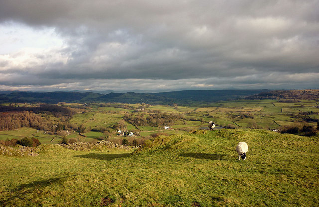
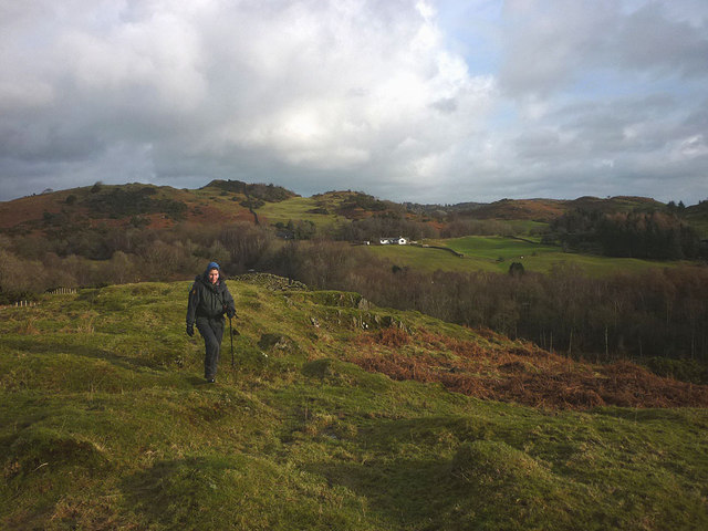
Brow Wood, located in Lancashire, England, is a picturesque forest known for its natural beauty and diverse wildlife. Spanning an area of approximately 500 acres, the wood is situated on the slopes of a gentle hill, offering visitors stunning panoramic views of the surrounding countryside.

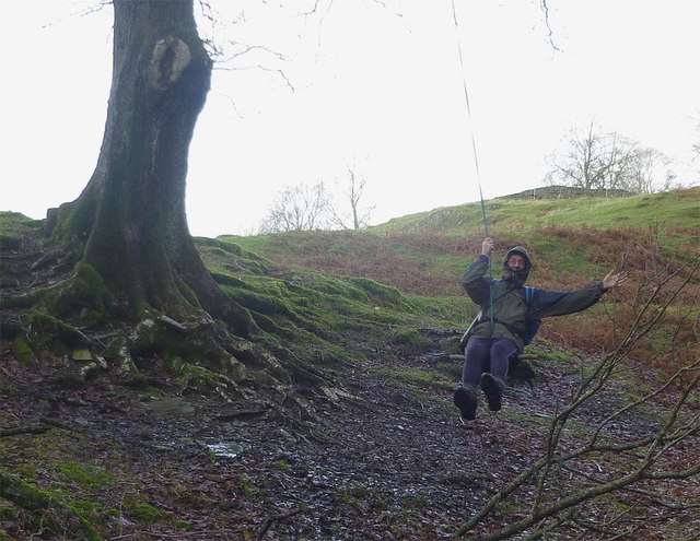
The wood is primarily composed of broadleaved trees, including oak, beech, and birch, which create a dense and vibrant canopy overhead. The forest floor is adorned with a rich carpet of ferns, bluebells, and other wildflowers, adding to its enchanting atmosphere.

Brow Wood is a haven for wildlife enthusiasts and nature lovers alike. It is home to a variety of bird species, such as woodpeckers, owls, and songbirds, providing a tranquil soundscape for visitors. Additionally, deer, foxes, and rabbits can often be spotted roaming through the undergrowth, adding to the sense of wilderness and natural harmony.

The wood offers several well-maintained walking trails, allowing visitors to explore its beauty at their own pace. These paths wind through the forest, leading to hidden clearings, babbling brooks, and secluded picnic spots. The wood is also a popular spot for nature photography, with its breathtaking vistas and abundant wildlife providing ample opportunities for capturing stunning images.

Brow Wood is managed by a local conservation organization, ensuring its preservation and protection for future generations. It serves as a valuable educational resource, hosting guided tours and workshops to raise awareness about the importance of forests in maintaining biodiversity and providing vital ecosystem services.

Overall, Brow Wood is a captivating natural gem in Lancashire, offering visitors a peaceful retreat from the hustle and bustle of everyday life, while also playing a vital role in the region's ecological landscape.

If you have any feedback on the listing, please let us know in the comments section below.

Brow Wood Images

Images are sourced within 2km of 54.311998/-2.9176187 or Grid Reference SD4091. Thanks to Geograph Open Source API. All images are credited.

Whinny Knott
Whinny Knott
View towards Haycote Farm (Bowland Bridge)
Smithy Lane, Bowland Bridge
Minor Road towards Winster
Farmland West of Smithy Lane (Bowland Bridge)
Fields near Haycote Farm Nearly all the fields have been mown recently, after a few weeks of hot and dry weather.
Fields near Haycote Farm
Nearly all the fields have been mown recently, after a few weeks of hot and dry weather.
Old Direction Sign - Signpost by Strawberry Bank, Cartmel Fell parish Finial - 2 arms; by the UC road, in parish of Cartmel Fell (South Lakeland District), Strawberry Bank, in Mason's Arms car-park.

Surveyed

Milestone Society National ID: LA_SD4189
Old Direction Sign - Signpost by Strawberry Bank, Cartmel Fell parish
Finial - 2 arms; by the UC road, in parish of Cartmel Fell (South Lakeland District), Strawberry Bank, in Mason's Arms car-park. Surveyed Milestone Society National ID: LA_SD4189
Masons Arms Strawberry Bank Popular gastro Pub
Masons Arms Strawberry Bank
Popular gastro Pub
Goswick Hall near Bowland Bridge The rear of the hall seen from the footpath to Hollins Farm
Goswick Hall near Bowland Bridge
The rear of the hall seen from the footpath to Hollins Farm
Footpath to Hollins Heading south towards the farm, footpath serving as a river or vice versa!
Footpath to Hollins
Heading south towards the farm, footpath serving as a river or vice versa!
Cows on Whinny Knott Looking over the Winster Valley to Whitbarrow Scar with Ingleborough and the western Dales fells beyond.
Cows on Whinny Knott
Looking over the Winster Valley to Whitbarrow Scar with Ingleborough and the western Dales fells beyond.
Sheep at Goswick Hall near Bowland Bridge
Pastureland near Hollins Looking towards Haycote Farm across the Winster Valley.
Pastureland near Hollins
Looking towards Haycote Farm across the Winster Valley.
Sheep on Cawker How above the Winster Valley Looking over the scattered cottages and farmhouses of this quiet corner of Lakeland. The Howgill Fells are just visible on the skyline.
Sheep on Cawker How above the Winster Valley
Looking over the scattered cottages and farmhouses of this quiet corner of Lakeland. The Howgill Fells are just visible on the skyline.
The lane to Hartbarrow The footpath to the left leads towards Birch Fell, but does not reach the summit (which is in trees and difficult to locate).
The lane to Hartbarrow
The footpath to the left leads towards Birch Fell, but does not reach the summit (which is in trees and difficult to locate).
Moorland sheep At the roadside above Goswick Hall farm.
Moorland sheep
At the roadside above Goswick Hall farm.
Hawkearth Bank The bank is a rough, low ridge of Silurian rock rising above the Winster Valley, typical of the countryside east of Windermere. Beyond, is the higher ground of Scott Howe (171m)
Hawkearth Bank
The bank is a rough, low ridge of Silurian rock rising above the Winster Valley, typical of the countryside east of Windermere. Beyond, is the higher ground of Scott Howe (171m)
The oldest swinger in town! Whoever invented rope and stick swings should get a medal.
The oldest swinger in town!
Whoever invented rope and stick swings should get a medal.
Show me another place!

Brow Wood is located at Grid Ref: SD4091 (Lat: 54.311998, Lng: -2.9176187)

Administrative County: Cumbria

District: South Lakeland

Police Authority: Cumbria

What 3 Words

///missions.homelands.twitches. Near Windermere, Cumbria

Related Wikis

Moor Crag

Moor Crag (sometimes Moorcrag) is a Grade I listed house near Bowness-on-Windermere in South Lakeland, Cumbria, England, overlooking Windermere. It lies...

South Lakeland

South Lakeland was a local government district in Cumbria, England, from 1974 to 2023. Its council was based in Kendal. The district covered the southern...

Westmorland and Lonsdale (UK Parliament constituency)

Westmorland and Lonsdale is a constituency in the south of Cumbria, represented in the House of Commons of the UK Parliament since 2005 by Tim Farron,...

Sedbergh Rural District

Sedbergh Rural District was a rural district in the West Riding of Yorkshire in England from 1894 to its abolition in 1974. The district consisted of the...

Nearby Amenities

Located within 500m of 54.311998,-2.9176187
Barrier: cattle_grid
Lat/Long: 54.3149035/-2.9189496
Barrier: stile
Lat/Long: 54.3111385/-2.9215993
Power: pole
Lat/Long: 54.3101608/-2.924513
Power: pole
Lat/Long: 54.3106428/-2.9226739
Power: pole
Lat/Long: 54.311192/-2.9205786
Power: pole
Lat/Long: 54.3115593/-2.9191645
Power: pole
Lat/Long: 54.3119046/-2.9186978
Power: pole
Lat/Long: 54.3125024/-2.9179073
Power: pole
Lat/Long: 54.3127828/-2.9174485
Power: pole
Lat/Long: 54.3102533/-2.9185938
Power: pole
Lat/Long: 54.3093511/-2.9182674
Power: pole
Lat/Long: 54.3089143/-2.9178216
Power: pole
Lat/Long: 54.307783/-2.9167508
The data included in this document is from www.openstreetmap.org. The data is made available under ODbL.

Have you been to Brow Wood?

Leave your review of Brow Wood below (or comments, questions and feedback).