Fox Crag Plantation

Wood, Forest in Lancashire South Lakeland

England

Fox Crag Plantation

Hubbersty Head Lane
Hubbersty Head Lane Credit: Anthony Parkes

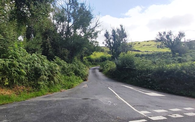
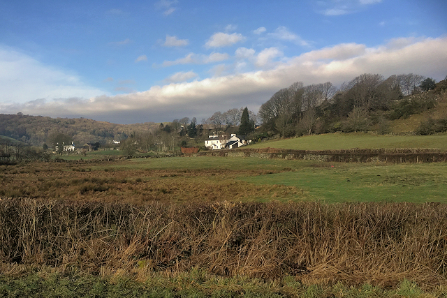
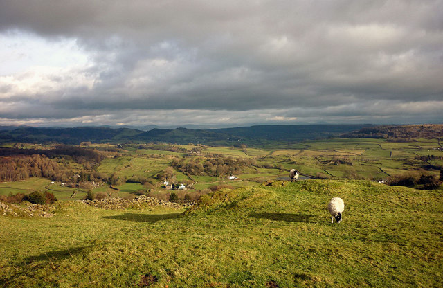
Fox Crag Plantation is a picturesque woodland located in Lancashire, England. Situated in the scenic region of the Forest of Bowland, the plantation spans over a vast area, providing a haven for nature enthusiasts and hikers alike.

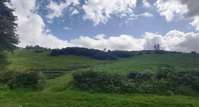
Covered with a diverse range of trees, including oak, birch, and beech, Fox Crag Plantation offers a stunning display of colors throughout the seasons. The woodland floor is adorned with an array of wildflowers, adding to its natural beauty. The dense foliage provides a habitat for a variety of wildlife, including deer, squirrels, and numerous bird species.

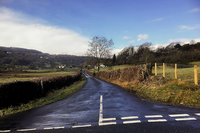
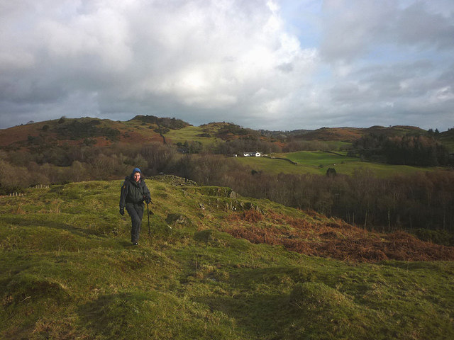
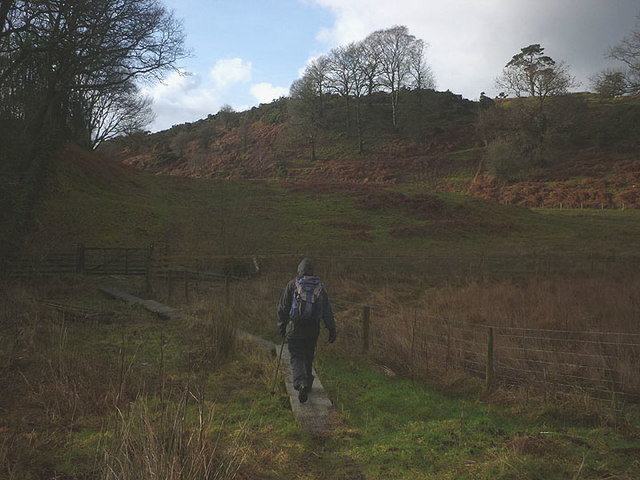
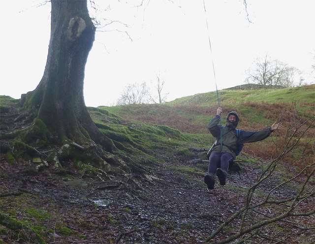
The plantation is crisscrossed with well-maintained walking trails, making it an ideal destination for those seeking a peaceful and tranquil environment. These paths wind through the woodland, offering breathtaking views of the surrounding countryside. Visitors can also enjoy picnicking in designated areas or simply find a quiet spot to relax and soak in the serene atmosphere.

Fox Crag Plantation is not only a popular destination for leisure activities but also serves as an important ecological site. The woodland plays a vital role in carbon sequestration, contributing to the overall health of the environment. It is also a valuable resource for timber production, supporting the local economy.

Managed by the local authorities, Fox Crag Plantation is well-maintained and accessible to the public. Whether one is seeking a peaceful stroll or an immersive experience in nature, this Lancashire woodland offers a truly enchanting experience.

If you have any feedback on the listing, please let us know in the comments section below.

Fox Crag Plantation Images

Images are sourced within 2km of 54.315008/-2.9141809 or Grid Reference SD4091. Thanks to Geograph Open Source API. All images are credited.

Hubbersty Head Lane
Hubbersty Head Lane
Track up Windyhowe Hill
View towards Haycote Farm (Bowland Bridge)
Minor Road towards Winster
Fields near Haycote Farm Nearly all the fields have been mown recently, after a few weeks of hot and dry weather.
Fields near Haycote Farm
Nearly all the fields have been mown recently, after a few weeks of hot and dry weather.
Footpath to Hollins Heading south towards the farm, footpath serving as a river or vice versa!
Footpath to Hollins
Heading south towards the farm, footpath serving as a river or vice versa!
Sheep at Goswick Hall near Bowland Bridge
Pastureland near Hollins Looking towards Haycote Farm across the Winster Valley.
Pastureland near Hollins
Looking towards Haycote Farm across the Winster Valley.
Sheep on Cawker How above the Winster Valley Looking over the scattered cottages and farmhouses of this quiet corner of Lakeland. The Howgill Fells are just visible on the skyline.
Sheep on Cawker How above the Winster Valley
Looking over the scattered cottages and farmhouses of this quiet corner of Lakeland. The Howgill Fells are just visible on the skyline.
Winter dusk, Winster Valley Watching the colours in the sky as the sun sets behind Gummer's How.
Winter dusk, Winster Valley
Watching the colours in the sky as the sun sets behind Gummer's How.
Hawkearth Bank The bank is a rough, low ridge of Silurian rock rising above the Winster Valley, typical of the countryside east of Windermere. Beyond, is the higher ground of Scott Howe (171m)
Hawkearth Bank
The bank is a rough, low ridge of Silurian rock rising above the Winster Valley, typical of the countryside east of Windermere. Beyond, is the higher ground of Scott Howe (171m)
The footpath to Birks Bridge Due to much recent rainfall, the path is very soft in places, especially crossing Hawkearth Moss where a few duckboards have been placed.
The footpath to Birks Bridge
Due to much recent rainfall, the path is very soft in places, especially crossing Hawkearth Moss where a few duckboards have been placed.
Lonesome pine, Winster Valley Scots pine to be exact. Scots pines are not that common here and this one sits on open ground so is quite prominent. A good place to stand and watch the sky change colour as the sun sets behind Gummer's How.
Lonesome pine, Winster Valley
Scots pine to be exact. Scots pines are not that common here and this one sits on open ground so is quite prominent. A good place to stand and watch the sky change colour as the sun sets behind Gummer's How.
Lonesome pine, Winster Valley (2) Scots pine to be exact. Scots pines are not that common here and this one sits on open ground so is quite prominent. A good place to stand and watch the sky change colour as the sun sets behind Gummer's How.
Lonesome pine, Winster Valley (2)
Scots pine to be exact. Scots pines are not that common here and this one sits on open ground so is quite prominent. A good place to stand and watch the sky change colour as the sun sets behind Gummer's How.
The oldest swinger in town! Whoever invented rope and stick swings should get a medal.
The oldest swinger in town!
Whoever invented rope and stick swings should get a medal.
Damson Dene Hotel and leisure club next to the A5074 near Crosthwaite.
Damson Dene
Hotel and leisure club next to the A5074 near Crosthwaite.
A5074 near Damson Dene Hotel and Leisure Club
Holy Trinity Church, Winster Built in 1874-5.
Holy Trinity Church, Winster
Built in 1874-5.
Show me another place!

Fox Crag Plantation is located at Grid Ref: SD4091 (Lat: 54.315008, Lng: -2.9141809)

Administrative County: Cumbria

District: South Lakeland

Police Authority: Cumbria

What 3 Words

///handbook.covertly.frame. Near Windermere, Cumbria

Related Wikis

Moor Crag

Moor Crag (sometimes Moorcrag) is a Grade I listed house near Bowness-on-Windermere in South Lakeland, Cumbria, England, overlooking Windermere. It lies...

South Lakeland

South Lakeland was a local government district in Cumbria, England, from 1974 to 2023. Its council was based in Kendal. The district covered the southern...

Westmorland and Lonsdale (UK Parliament constituency)

Westmorland and Lonsdale is a constituency in the south of Cumbria, represented in the House of Commons of the UK Parliament since 2005 by Tim Farron,...

Sedbergh Rural District

Sedbergh Rural District was a rural district in the West Riding of Yorkshire in England from 1894 to its abolition in 1974. The district consisted of the...

Nearby Amenities

Located within 500m of 54.315008,-2.9141809
Barrier: cattle_grid
Lat/Long: 54.3149035/-2.9189496
Barrier: kissing_gate
Lat/Long: 54.3178991/-2.9166495
Barrier: kissing_gate
Lat/Long: 54.3185971/-2.9184352
Material: wood
Power: pole
Lat/Long: 54.3124574/-2.9090433
Power: pole
Lat/Long: 54.3141994/-2.907596
Power: pole
Lat/Long: 54.3135734/-2.9091417
Power: pole
Lat/Long: 54.3119046/-2.9186978
Power: pole
Lat/Long: 54.3125024/-2.9179073
Power: pole
Lat/Long: 54.3127828/-2.9174485
The data included in this document is from www.openstreetmap.org. The data is made available under ODbL.

Have you been to Fox Crag Plantation?

Leave your review of Fox Crag Plantation below (or comments, questions and feedback).