Great Ludderburn Moss

Downs, Moorland in Lancashire South Lakeland

England

Great Ludderburn Moss

Winter dusk, Winster Valley Watching the colours in the sky as the sun sets behind Gummer's How.
Winter dusk, Winster Valley Credit: Karl and Ali

Great Ludderburn Moss is a vast expanse of moorland located in the county of Lancashire, England. Covering an area of approximately 500 acres, it is nestled within the beautiful surroundings of the Forest of Bowland Area of Outstanding Natural Beauty.

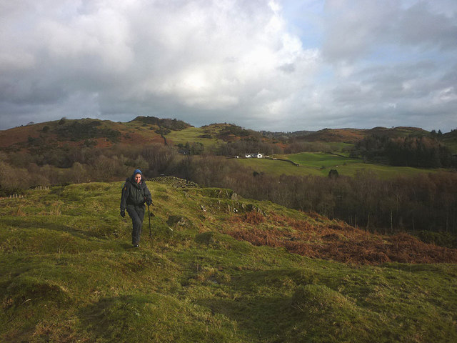
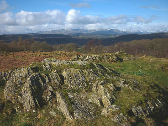
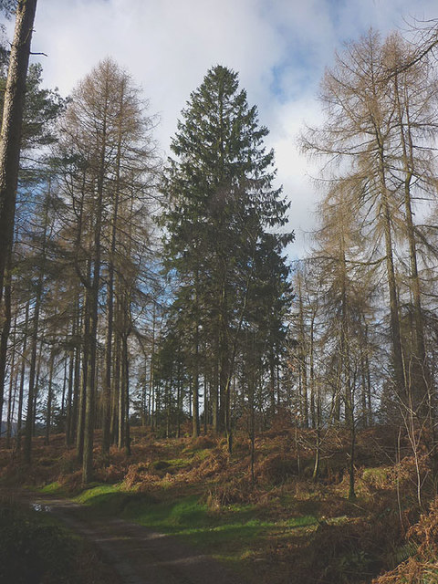
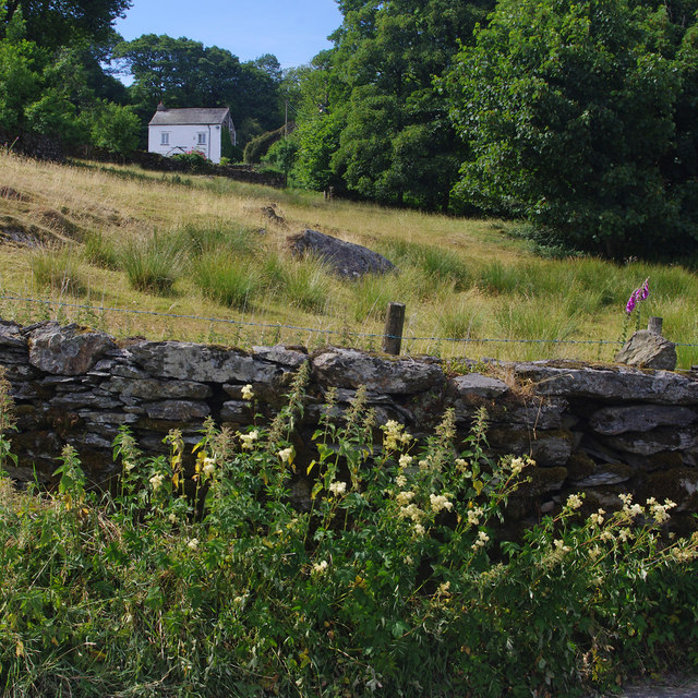
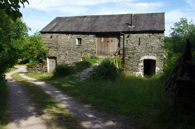
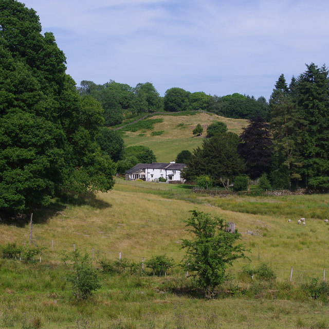
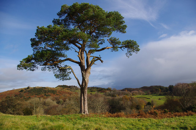
The moss is characterized by its rolling hills, heather-covered slopes, and scattered patches of peat bog. The landscape is predominantly open and wild, with limited tree coverage, allowing for unobstructed views of the surrounding countryside. The area is known for its remote and tranquil atmosphere, attracting nature enthusiasts and hikers seeking a peaceful retreat.

Great Ludderburn Moss is home to a diverse range of flora and fauna, including various species of birds, such as curlews, lapwings, and red grouse. Visitors may also spot other wildlife, including hares, foxes, and deer, which roam freely across the moorland.

The moss plays a crucial role in natural water management, acting as a sponge that absorbs rainfall and gradually releases it into the surrounding streams and rivers. This function is essential for maintaining the delicate ecological balance and supporting the local ecosystem.

Due to its ecological significance, Great Ludderburn Moss has been designated as a Site of Special Scientific Interest (SSSI). This recognition ensures the conservation and protection of its unique habitats and species, while also allowing for controlled public access and enjoyment of the area.

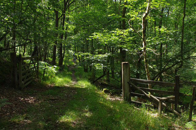
Visitors to Great Ludderburn Moss can explore its vast network of footpaths and trails, immersing themselves in the stunning natural beauty and peaceful ambiance that this Lancashire moorland offers.

If you have any feedback on the listing, please let us know in the comments section below.

Great Ludderburn Moss Images

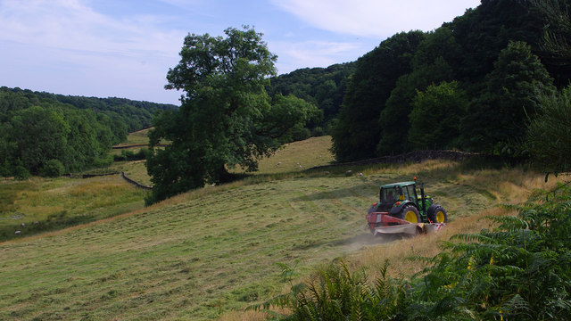
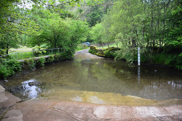
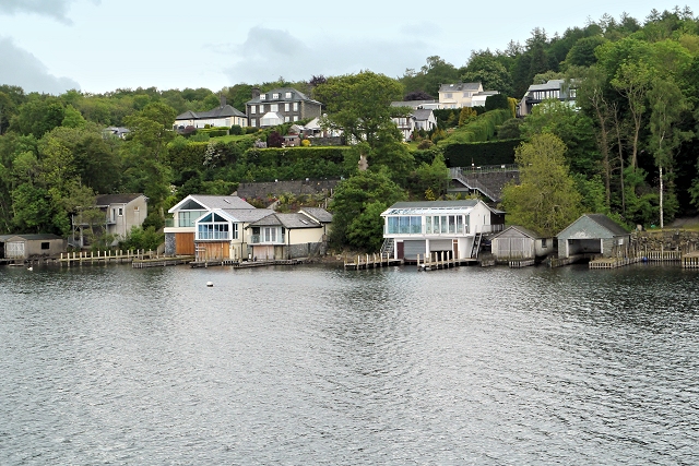
Images are sourced within 2km of 54.319686/-2.9206648 or Grid Reference SD4091. Thanks to Geograph Open Source API. All images are credited.

Winter dusk, Winster Valley Watching the colours in the sky as the sun sets behind Gummer's How.
Winter dusk, Winster Valley
Watching the colours in the sky as the sun sets behind Gummer's How.
Hawkearth Bank The bank is a rough, low ridge of Silurian rock rising above the Winster Valley, typical of the countryside east of Windermere. Beyond, is the higher ground of Scott Howe (171m)
Hawkearth Bank
The bank is a rough, low ridge of Silurian rock rising above the Winster Valley, typical of the countryside east of Windermere. Beyond, is the higher ground of Scott Howe (171m)
Lonesome pine, Winster Valley Scots pine to be exact. Scots pines are not that common here and this one sits on open ground so is quite prominent. A good place to stand and watch the sky change colour as the sun sets behind Gummer's How.
Lonesome pine, Winster Valley
Scots pine to be exact. Scots pines are not that common here and this one sits on open ground so is quite prominent. A good place to stand and watch the sky change colour as the sun sets behind Gummer's How.
Lonesome pine, Winster Valley (2) Scots pine to be exact. Scots pines are not that common here and this one sits on open ground so is quite prominent. A good place to stand and watch the sky change colour as the sun sets behind Gummer's How.
Lonesome pine, Winster Valley (2)
Scots pine to be exact. Scots pines are not that common here and this one sits on open ground so is quite prominent. A good place to stand and watch the sky change colour as the sun sets behind Gummer's How.
The oldest swinger in town! Whoever invented rope and stick swings should get a medal.
The oldest swinger in town!
Whoever invented rope and stick swings should get a medal.
On Rulbutts Hill Rulbutts Hill is an area of bracken, small rock outcrops and scrub. Although rougher than Scout Hill just to the north it is not CRoW access land. There is however a permissive path which runs from the end of the public footpath there, southwards to the footpath leading to Rosthwaite Farm. There are excellent views from the summit, here towards the snow-streaked central fells.
On Rulbutts Hill
Rulbutts Hill is an area of bracken, small rock outcrops and scrub. Although rougher than Scout Hill just to the north it is not CRoW access land. There is however a permissive path which runs from the end of the public footpath there, southwards to the footpath leading to Rosthwaite Farm. There are excellent views from the summit, here towards the snow-streaked central fells.
Footpath through Spring Wood Heading west towards Rosthwaite Farm through a stand of towering larches and firs.
Footpath through Spring Wood
Heading west towards Rosthwaite Farm through a stand of towering larches and firs.
Cart at Rosthwaite Farm A pink-painted cart by the side of the track.
Cart at Rosthwaite Farm
A pink-painted cart by the side of the track.
Holy Trinity Church, Winster Built in 1874-5.
Holy Trinity Church, Winster
Built in 1874-5.
Gateway, Lambhowe Plantation Public footpath through mixed woodland.
Gateway, Lambhowe Plantation
Public footpath through mixed woodland.
Little Hartbarrow
Little Hartbarrow
Bank barn, Wood Farm
Hawkearth Bank The Winster valley, NE of Birks Bridge.
Hawkearth Bank
The Winster valley, NE of Birks Bridge.
Lime kiln, Winster valley Compare with Raymond Knapman's 2008 photo <a href="https://www.geograph.org.uk/photo/934569">SD4192 : Lime Kiln in Winster Valley</a>.
Lime kiln, Winster valley
Compare with Raymond Knapman's 2008 photo SD4192 : Lime Kiln in Winster Valley.
Mowing, Winster valley Hay being cut near Winster House.
Mowing, Winster valley
Hay being cut near Winster House.
Roper Ford This ford on the River Winster is found at Birks Bridge near Winster. A previous image taken by my sister can be viewed at:
<a title="https://www.geograph.org.uk/photo/3366166" href="https://www.geograph.org.uk/photo/3366166">Link</a>
and a video of the ford being crossed can be viewed at:
<span class="nowrap"><a title="https://youtu.be/4UgE2l-p6Jw" rel="nofollow ugc noopener" href="https://youtu.be/4UgE2l-p6Jw">Link</a><img style="margin-left:2px;" alt="External link" title="External link - shift click to open in new window" src="https://s1.geograph.org.uk/img/external.png" width="10" height="10"/></span>
Roper Ford
This ford on the River Winster is found at Birks Bridge near Winster. A previous image taken by my sister can be viewed at: Link and a video of the ford being crossed can be viewed at: LinkExternal link
Lamb Howe Farm Viewed across the Winster Valley, with the A5074 and Arndale Beck.
Lamb Howe Farm
Viewed across the Winster Valley, with the A5074 and Arndale Beck.
Scots pine, Hawkearth Bank Another view of <a href="https://www.geograph.org.uk/photo/4792627">SD4192 : Lonesome pine, Winster Valley (2)</a>.
Scots pine, Hawkearth Bank
Show me another place!

Great Ludderburn Moss is located at Grid Ref: SD4091 (Lat: 54.319686, Lng: -2.9206648)

Administrative County: Cumbria

District: South Lakeland

Police Authority: Cumbria

What 3 Words

///remembers.retail.doing. Near Windermere, Cumbria

Related Wikis

Moor Crag

Moor Crag (sometimes Moorcrag) is a Grade I listed house near Bowness-on-Windermere in South Lakeland, Cumbria, England, overlooking Windermere. It lies...

Broad Leys

Broad Leys is a house located in Ghyll Head, near Bowness-on-Windermere, South Lakeland, Cumbria, England. It is in the northern part of the parish of...

Windermere Motor Boat Racing Club

The Windermere Motor Boat Racing Club is a British boating club based at Bowness-on-Windermere, Cumbria. The Club was founded in the 1920s. Its present...

Storrs, Cumbria

Storrs is a hamlet in the civil parish of Windermere and Bowness, in the Westmorland and Furness district of the ceremonial county of Cumbria, England...

Nearby Amenities

Located within 500m of 54.319686,-2.9206648
Barrier: kissing_gate
Lat/Long: 54.3178991/-2.9166495
Barrier: kissing_gate
Lat/Long: 54.3185971/-2.9184352
Barrier: cattle_grid
Lat/Long: 54.3205867/-2.9178738
Ford: yes
Lat/Long: 54.3198241/-2.9260886
Ford: yes
Lat/Long: 54.318084/-2.924749
Ford: yes
Lat/Long: 54.318188/-2.9235291
The data included in this document is from www.openstreetmap.org. The data is made available under ODbL.

Have you been to Great Ludderburn Moss?

Leave your review of Great Ludderburn Moss below (or comments, questions and feedback).