Birk Fell

Downs, Moorland in Westmorland Eden

England

Birk Fell

Small pool above Hawk Crag
Small pool above Hawk Crag Credit: Mick Garratt

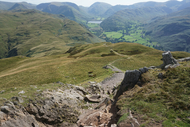
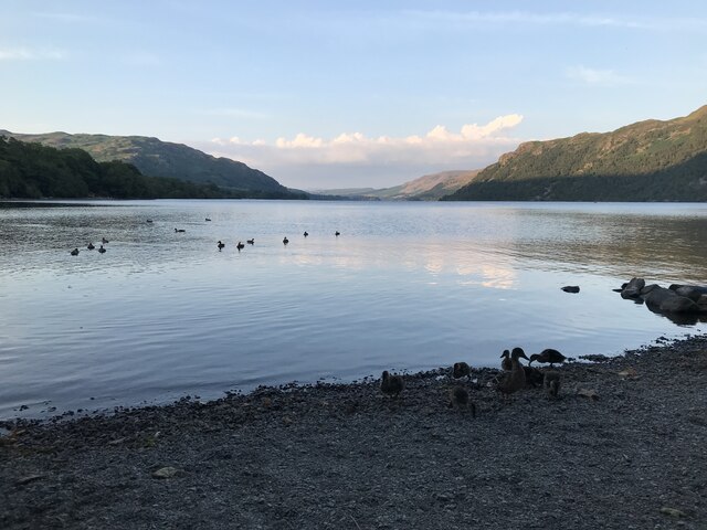
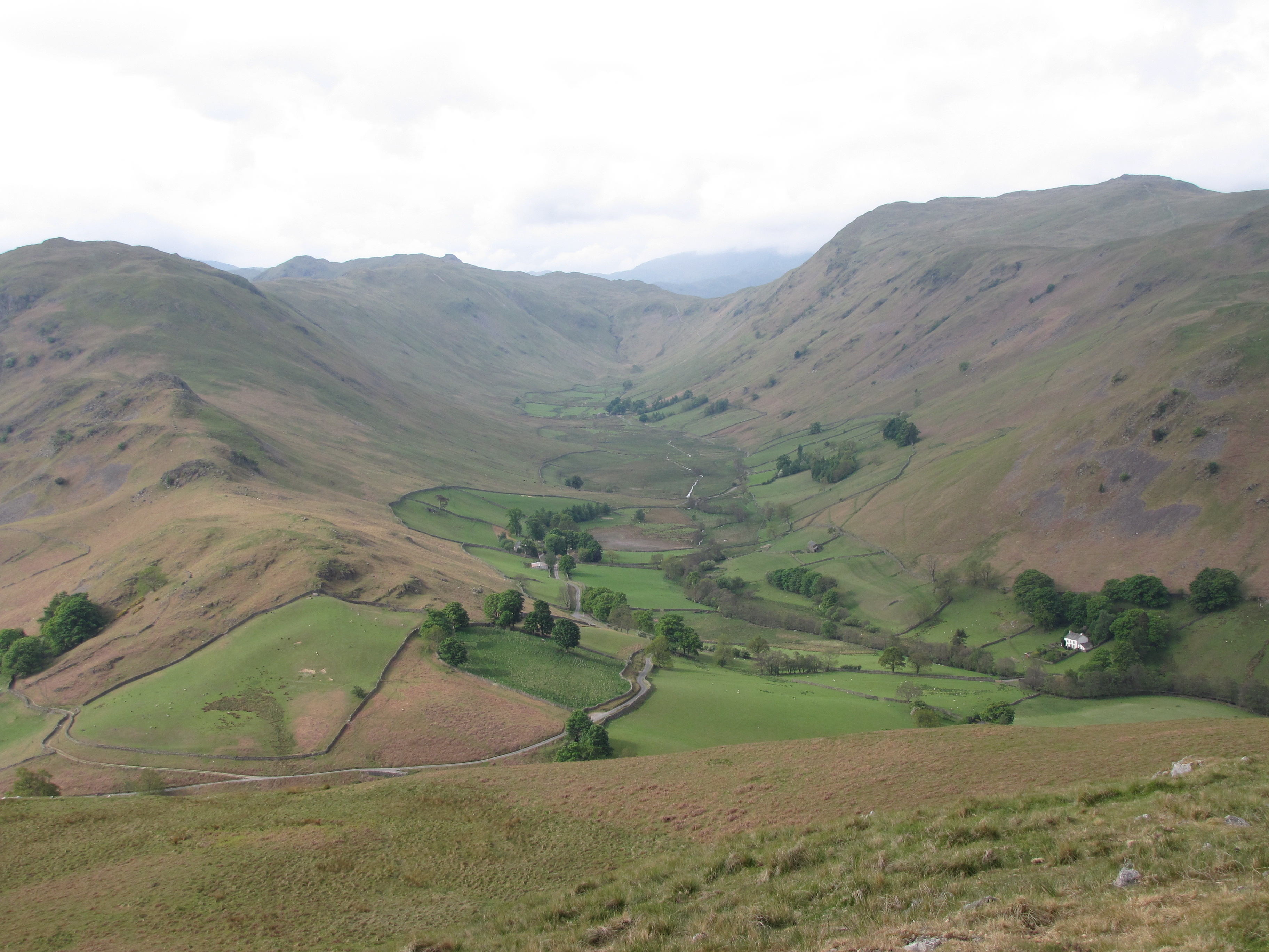
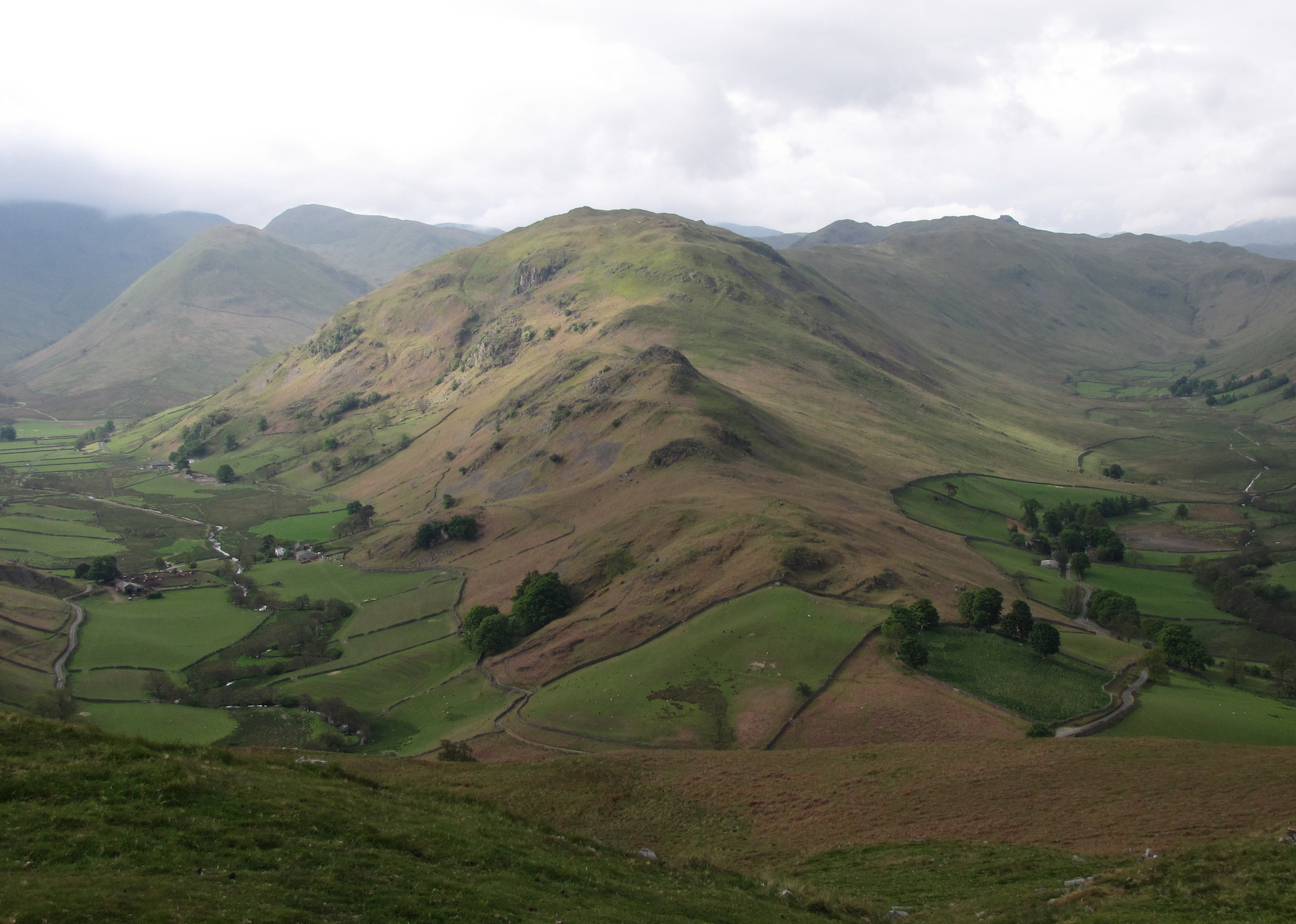
Birk Fell is a picturesque area located in Westmorland, a historic county in the North West of England. Situated on the outskirts of the Lake District National Park, Birk Fell offers stunning views of the surrounding countryside, including the nearby Lake Windermere.

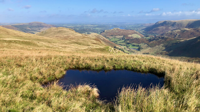
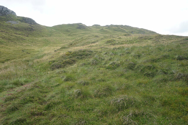
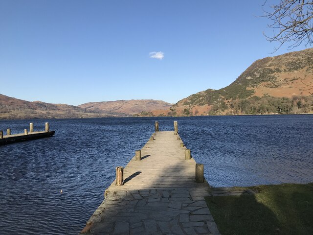
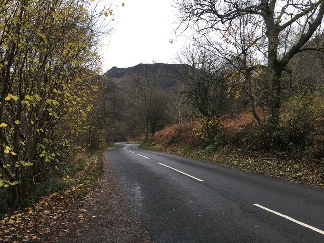
Covering a vast expanse of downs and moorland, Birk Fell is known for its rugged and wild beauty. The area is characterized by rolling hills, heather-covered slopes, and scattered rocky outcrops. The landscape is dotted with small tarns and streams, adding to its natural charm.

Birk Fell is a popular destination for hikers and nature enthusiasts. The area boasts several well-marked trails that cater to all levels of fitness and experience. These trails offer a chance to explore the diverse flora and fauna that call Birk Fell home, including various species of birds and small mammals.

The tranquility and untouched nature of Birk Fell make it an ideal spot for those seeking solitude or a peaceful retreat. Visitors can often find themselves completely immersed in the beauty of the surroundings, with only the sounds of nature to accompany them.

For those interested in local history, Birk Fell is also home to several ancient remains, including stone circles and burial mounds. These remnants provide a glimpse into the area's rich past and add an element of intrigue to any visit.

Overall, Birk Fell is a hidden gem in Westmorland, offering a unique blend of natural beauty, tranquility, and historical significance. Whether it's for a leisurely stroll, a challenging hike, or a moment of reflection, Birk Fell has something to offer everyone.

If you have any feedback on the listing, please let us know in the comments section below.

Birk Fell Images

Images are sourced within 2km of 54.554918/-2.9258022 or Grid Reference NY4018. Thanks to Geograph Open Source API. All images are credited.

Small pool above Hawk Crag
Stream on Place Fell
Low Moss Sheepfold For further info see ‘Heritage Gateway - Results’. 2012. Heritagegateway.org.uk <span class="nowrap"><a title="https://www.heritagegateway.org.uk/Gateway/Results_Single.aspx?uid=2886841&resourceID=801" rel="nofollow ugc noopener" href="https://www.heritagegateway.org.uk/Gateway/Results_Single.aspx?uid=2886841&resourceID=801">Link</a><img style="margin-left:2px;" alt="External link" title="External link - shift click to open in new window" src="https://s1.geograph.org.uk/img/external.png" width="10" height="10"/></span> [accessed 12 October 2022]
Low Moss Sheepfold
For further info see ‘Heritage Gateway - Results’. 2012. Heritagegateway.org.uk LinkExternal link [accessed 12 October 2022]
Sleet Fell
Sleet Fell
Path near Hare Shaw It is a stiff climb up this way from Patterdale, but the view over Ullswater to Glenridding makes it worth the while. The vegetation changes here from bracken to heather with more of a moorland feel.
Path near Hare Shaw
It is a stiff climb up this way from Patterdale, but the view over Ullswater to Glenridding makes it worth the while. The vegetation changes here from bracken to heather with more of a moorland feel.
Path up to Place Fell The path seems to climb interminably past crags which are not the top. The one partly showing on the left is The Knight.
Path up to Place Fell
The path seems to climb interminably past crags which are not the top. The one partly showing on the left is The Knight.
Moorland plateau above The Knight Part of the ridge of Place Fell  but below the craggy summit. This is looking towards Penrith with the long line of the North Pennines in the background.
Moorland plateau above The Knight
Part of the ridge of Place Fell but below the craggy summit. This is looking towards Penrith with the long line of the North Pennines in the background.
The top of Place Fell The trig pillar stands on a small craggy lump. There are excellent views to the northern end of Ullswater, Penrith and the North Pennines.
The top of Place Fell
The trig pillar stands on a small craggy lump. There are excellent views to the northern end of Ullswater, Penrith and the North Pennines.
The southern side of Place Fell The ridge extends south of the summit to Round How before beginning the descent. Brothers Water and the Kirkstone Pass are seen on the right. High Street is in the central background.
The southern side of Place Fell
The ridge extends south of the summit to Round How before beginning the descent. Brothers Water and the Kirkstone Pass are seen on the right. High Street is in the central background.
The western side of Place Fell The fell overlooks Patterdale. The two subsidiary valleys of Grisedale and Glenridding are quite clear opposite. Helvellyn dominates the background in the centre.
The western side of Place Fell
The fell overlooks Patterdale. The two subsidiary valleys of Grisedale and Glenridding are quite clear opposite. Helvellyn dominates the background in the centre.
Descent from Round How Coming off the Place Fell summit ridge. Patterdale and Brothers Water are down below.
Descent from Round How
Coming off the Place Fell summit ridge. Patterdale and Brothers Water are down below.
Ullswater
Ullswater
Jetty on Ullswater
Jetty on Ullswater
Glenridding Hotel Glenridding Hotel and Glenridding Beck with the mountains just visible behind
Glenridding Hotel
Glenridding Hotel and Glenridding Beck with the mountains just visible behind
A592 towards Glenridding
Ullswater shoreline at Glenridding
Path above Side Farm A view across Patterdale from a disused quarry on the lower slopes of Place Fell.
Path above Side Farm
A view across Patterdale from a disused quarry on the lower slopes of Place Fell.
The southern end of Ullswater
Show me another place!

Birk Fell is located at Grid Ref: NY4018 (Lat: 54.554918, Lng: -2.9258022)

Administrative County: Cumbria

District: Eden

Police Authority: Cumbria

What 3 Words

///fussy.swam.warp. Near Ambleside, Cumbria

Related Wikis

Nearby Amenities

Located within 500m of 54.554918,-2.9258022
Bleaberry Knott
Place: locality
Lat/Long: 54.5545549/-2.9246616
Birk Fell
Place: locality
Lat/Long: 54.5540696/-2.9300689
Bottom Heads
Place: locality
Lat/Long: 54.552953/-2.9243204
Ford: yes
Lat/Long: 54.5541423/-2.9205827
Ford: yes
Lat/Long: 54.5522252/-2.9213989
Ford: yes
Lat/Long: 54.5546663/-2.9202412
The data included in this document is from www.openstreetmap.org. The data is made available under ODbL.

Have you been to Birk Fell?

Leave your review of Birk Fell below (or comments, questions and feedback).