Birk Fell
Hill, Mountain in Westmorland Eden
England
Birk Fell
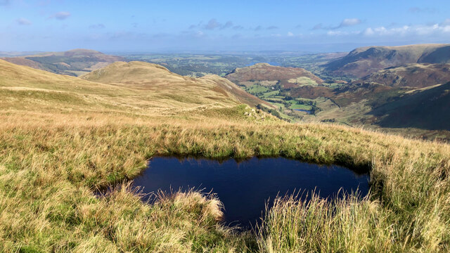
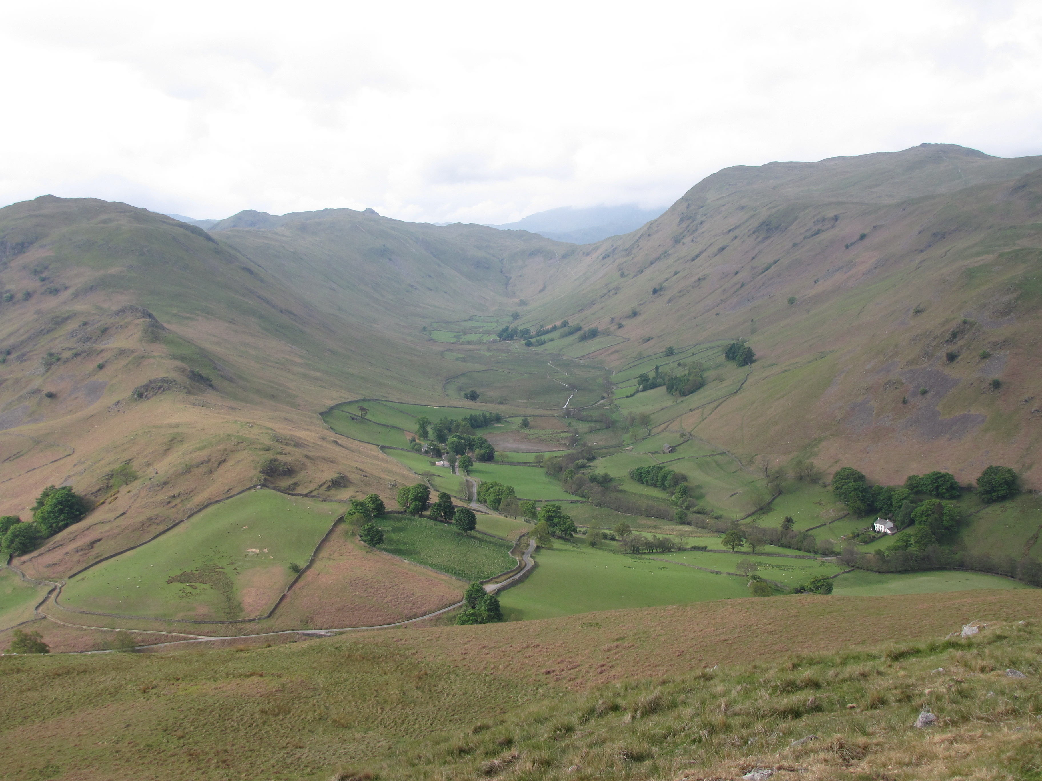
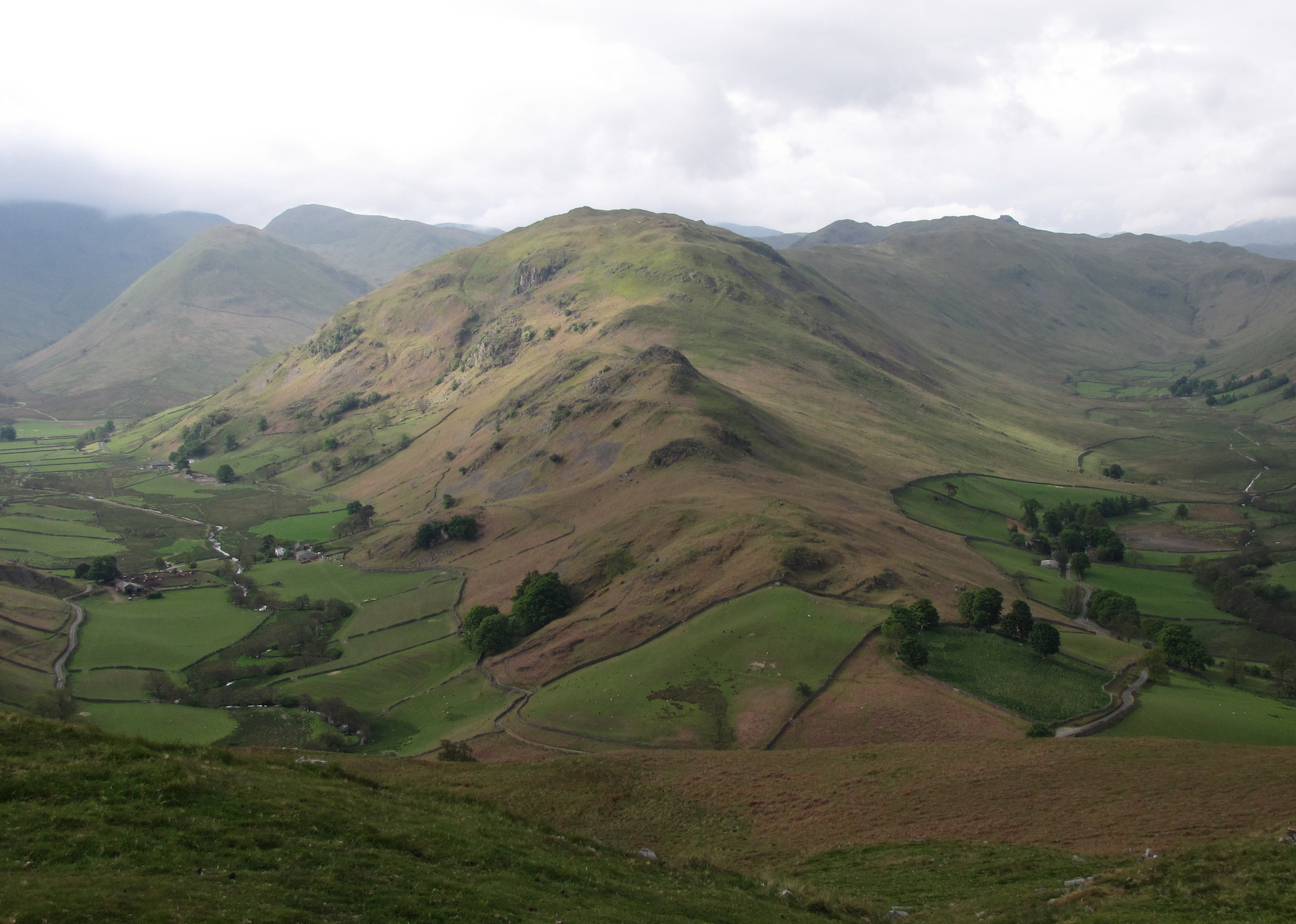
Birk Fell is a prominent hill/mountain located in the county of Westmorland, England. Situated within the Lake District National Park, it offers breathtaking views and attracts many hikers and nature enthusiasts. Standing at an elevation of 610 meters (2,001 feet), Birk Fell is a popular destination for those seeking a challenging yet rewarding outdoor adventure.
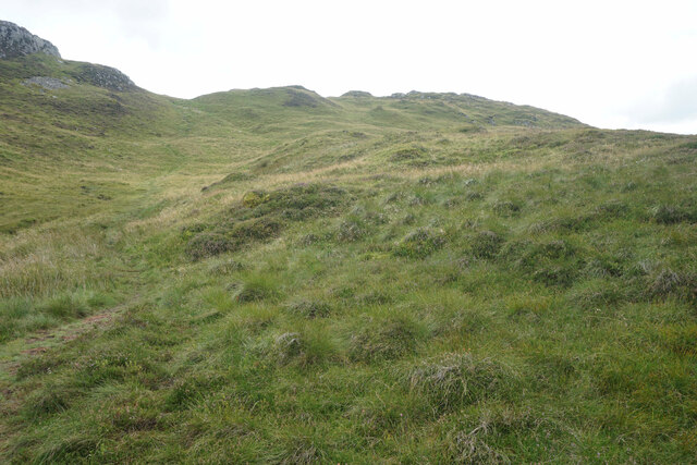
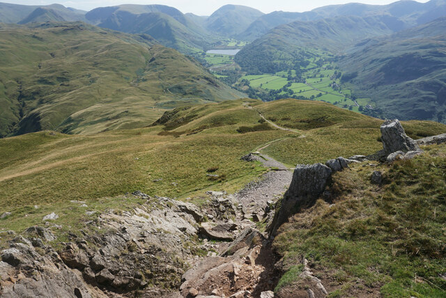
The hill/mountain is characterized by its rugged terrain and steep slopes, which provide a thrilling experience for climbers and walkers. The ascent to the summit can be demanding, but the stunning panoramic vistas that await at the top make it all worthwhile. On a clear day, visitors can admire the surrounding fells and mountains, including the iconic Helvellyn and Skiddaw.
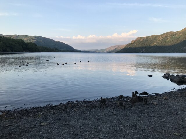
Birk Fell is also known for its diverse flora and fauna. The hill/mountain is home to a variety of plant species, including heather, bilberry, and bog cotton. The area is also teeming with wildlife, with sightings of red deer, buzzards, and red squirrels being quite common.
For those interested in local history, Birk Fell holds significance as it was once a common grazing ground for local sheep farmers. The remnants of old stone walls can still be seen, serving as a reminder of the area's agricultural heritage.
Access to Birk Fell is possible from various starting points, with routes ranging in difficulty and duration. Visitors are advised to come prepared with appropriate clothing, footwear, and navigational equipment, as the weather conditions can change rapidly in this part of the country. Overall, Birk Fell offers a challenging and rewarding outdoor experience for adventurers, nature lovers, and history enthusiasts alike.
If you have any feedback on the listing, please let us know in the comments section below.
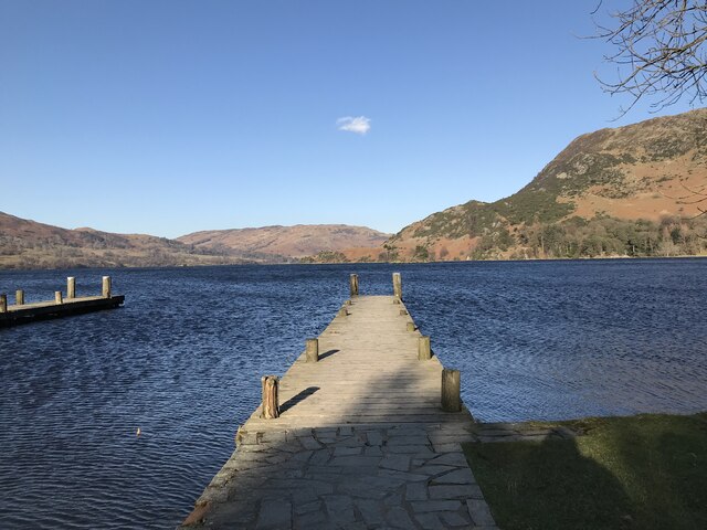
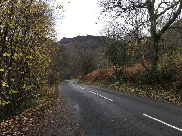
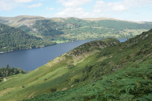
Birk Fell Images
Images are sourced within 2km of 54.556021/-2.9250231 or Grid Reference NY4018. Thanks to Geograph Open Source API. All images are credited.

![Low Moss Sheepfold For further info see ‘Heritage Gateway - Results’. 2012. Heritagegateway.org.uk <span class="nowrap"><a title="https://www.heritagegateway.org.uk/Gateway/Results_Single.aspx?uid=2886841&amp;resourceID=801" rel="nofollow ugc noopener" href="https://www.heritagegateway.org.uk/Gateway/Results_Single.aspx?uid=2886841&amp;resourceID=801">Link</a><img style="margin-left:2px;" alt="External link" title="External link - shift click to open in new window" src="https://s1.geograph.org.uk/img/external.png" width="10" height="10"/></span> [accessed 12 October 2022]](https://s2.geograph.org.uk/geophotos/07/30/98/7309854_3fd07f8b.jpg)


Birk Fell is located at Grid Ref: NY4018 (Lat: 54.556021, Lng: -2.9250231)
Administrative County: Cumbria
District: Eden
Police Authority: Cumbria
Also known as: Bleaberry Knott
What 3 Words
///adjusted.hitters.prouder. Near Ambleside, Cumbria
Nearby Locations
Related Wikis

Place Fell
Place Fell is a hill in the English Lake District. It stands at the corner of the upper and middle reaches of Ullswater, with steep western flanks overlooking...
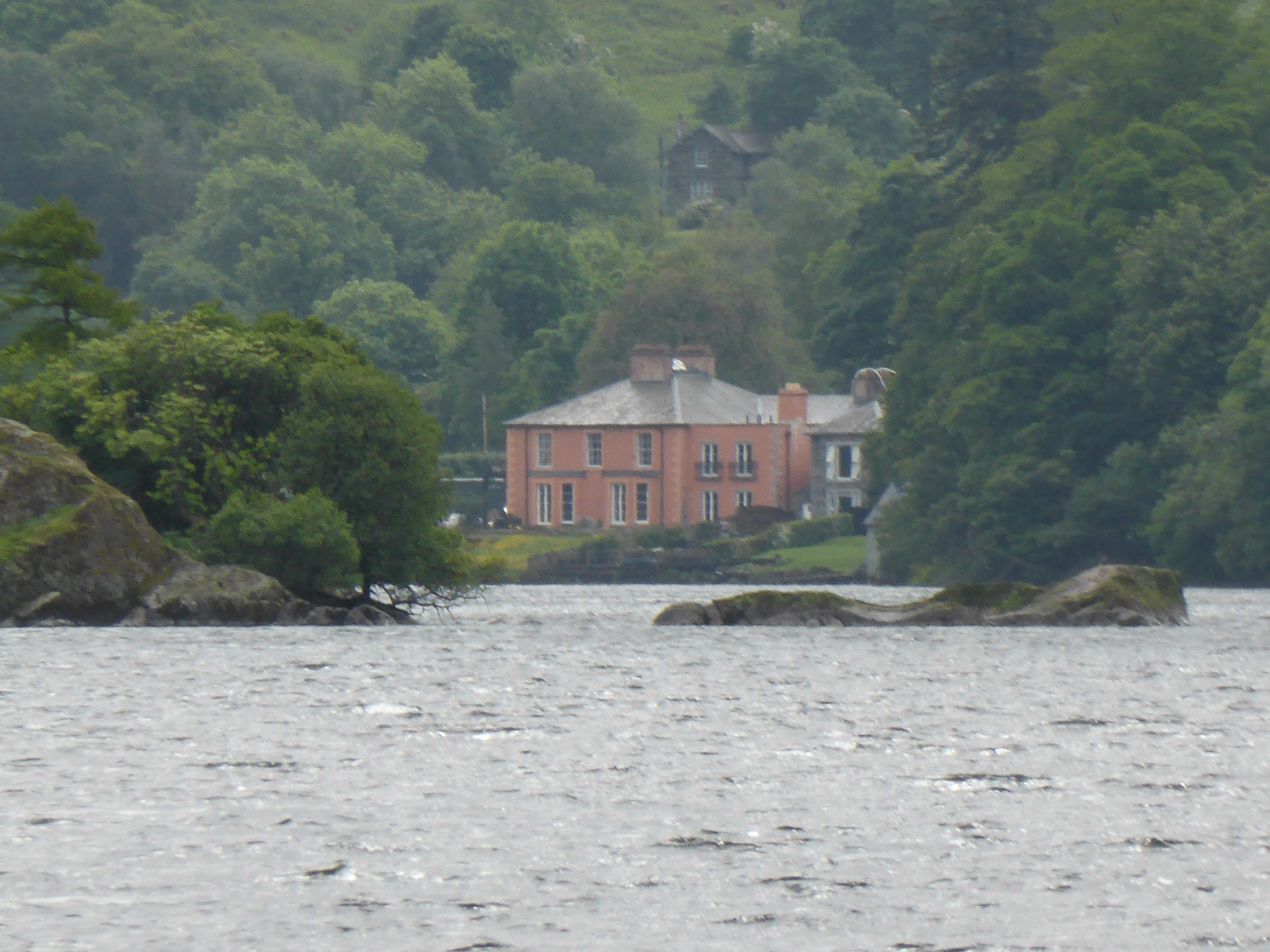
Glenridding House
Glenridding House is a Regency era building in Glenridding on Ullswater, constructed between 1807 and 1814. It was a private summer villa until about 1860...

Glenridding
Glenridding is a village at the southern end of Ullswater, in the English Lake District. The village is popular with mountain walkers who can scale England...

Aira Force
Aira Force is a waterfall in the English Lake District, in the civil parish of Matterdale and the county of Cumbria. The site of the waterfall is owned...

Glenridding Dodd
Glenridding Dodd (the rounded hill above Glenridding) is a small fell in the English Lake District, at the end of a ridge descending from the Helvellyn...
Boredale
Boredale sometimes known as Boardale, is a valley within Lake District National Park, in Cumbria, England. The valley is close to the eastern shore of...

Patterdale
Patterdale (Saint Patrick's Dale) is a small village and civil parish in the eastern part of the English Lake District in the Eden District of Cumbria...
Beda Fell
Beda Fell is a fell in the English Lake District, situated to the south of Ullswater. It divides the valleys of Boredale and Bannerdale within the Martindale...
Nearby Amenities
Located within 500m of 54.556021,-2.9250231Have you been to Birk Fell?
Leave your review of Birk Fell below (or comments, questions and feedback).