Bleaberry Knott

Hill, Mountain in Westmorland Eden

England

Bleaberry Knott

Small pool above Hawk Crag
Small pool above Hawk Crag Credit: Mick Garratt

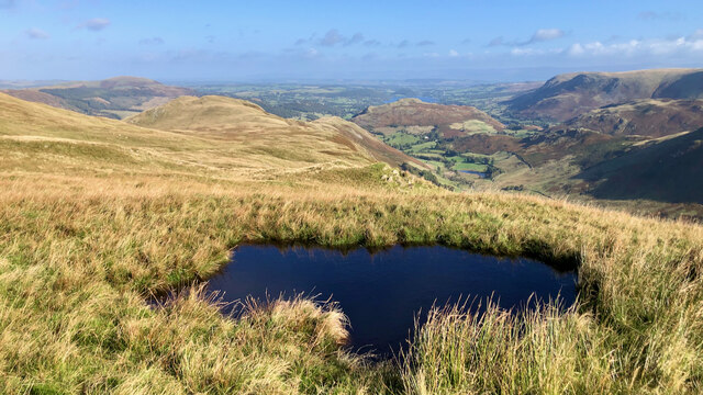
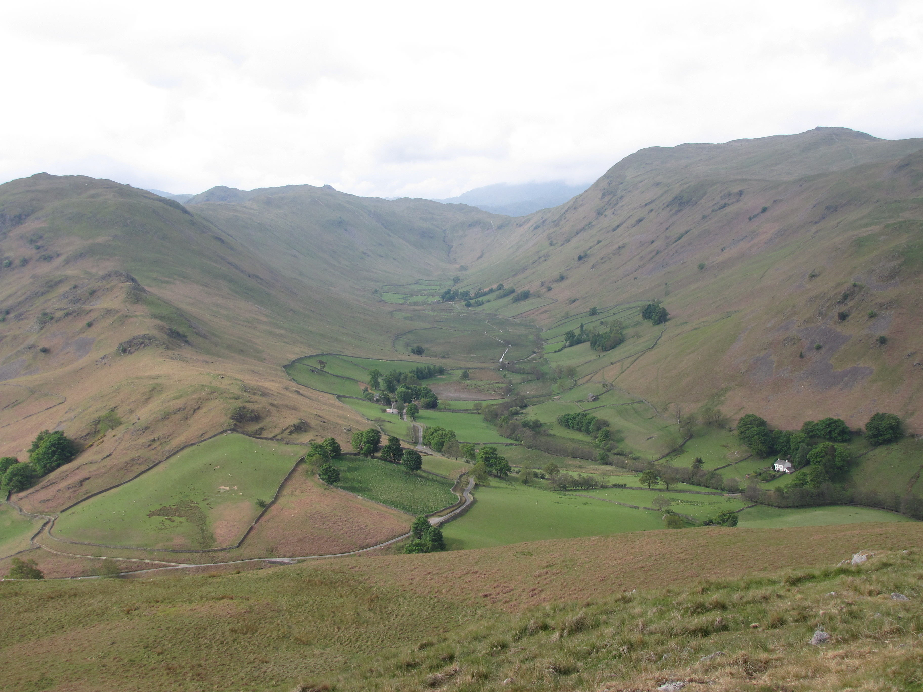
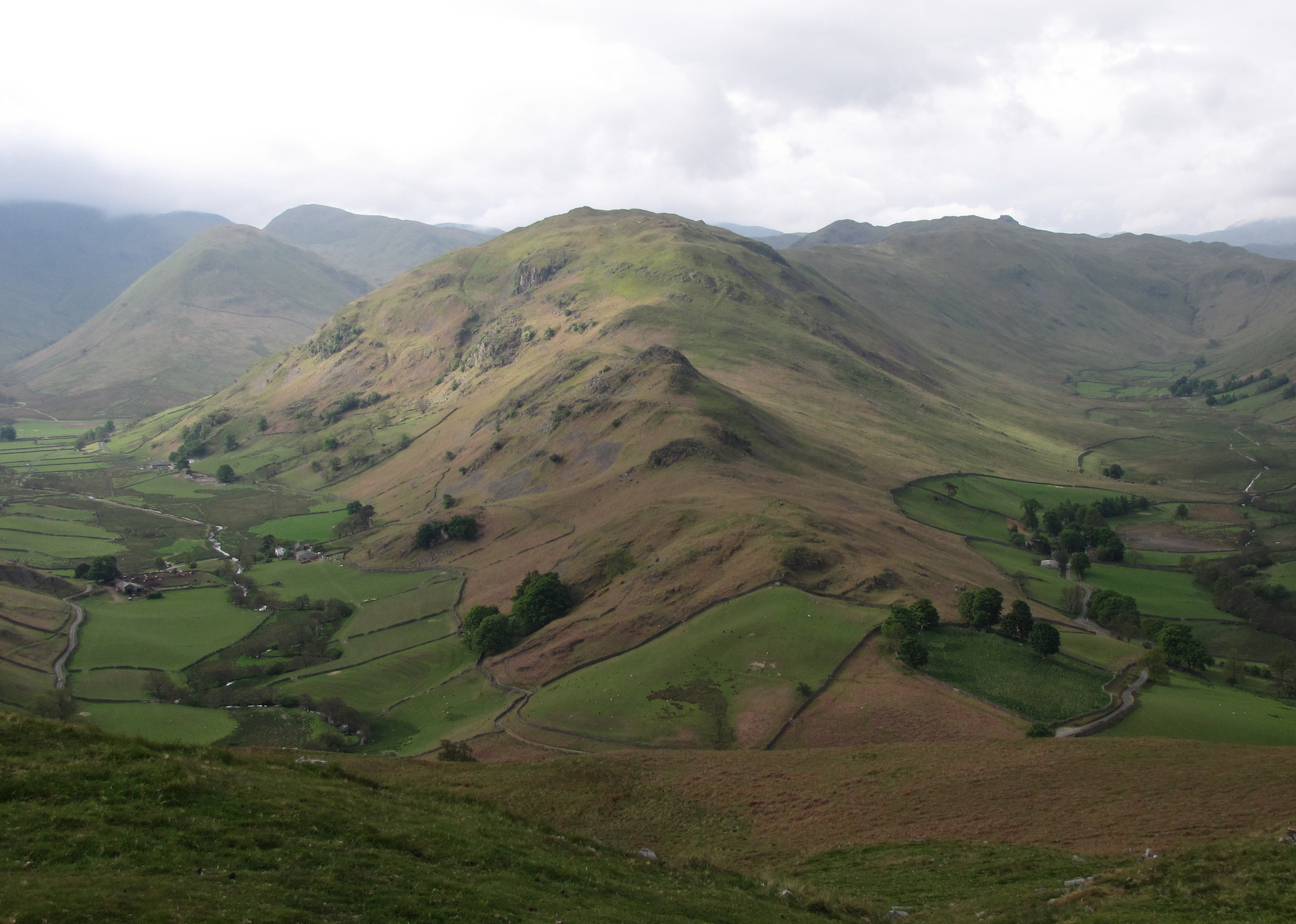
Bleaberry Knott is a prominent hill located in the historic county of Westmorland, England. Situated in the Lake District National Park, it offers breathtaking views and is a popular destination for hikers and nature enthusiasts. Rising to an elevation of 590 meters (1,936 feet), it is considered a fell, which is a term used to describe a hill or mountain in the region.

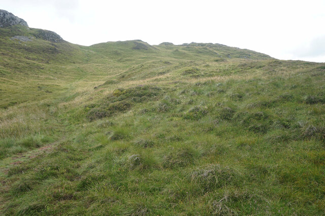
The hill is characterized by its distinctive shape, with a rounded summit and steep slopes covered in heather and grasses. It is part of a larger range known as the Central Fells, which includes other notable peaks such as High Seat and High Tove. The surrounding landscape is a mix of rugged terrain, rolling hills, and picturesque valleys.

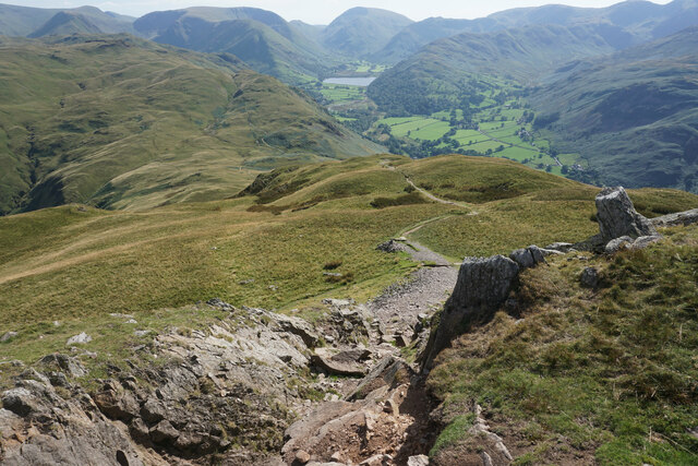
Reaching the summit of Bleaberry Knott requires a moderate hike, and there are several popular routes to choose from. One common approach is from the village of Keswick, where hikers can follow a well-marked path that takes them through woodlands and across open moorland, eventually leading to the top of the hill. Another option is to start from the nearby town of Threlkeld, providing a different perspective and a slightly longer trek.

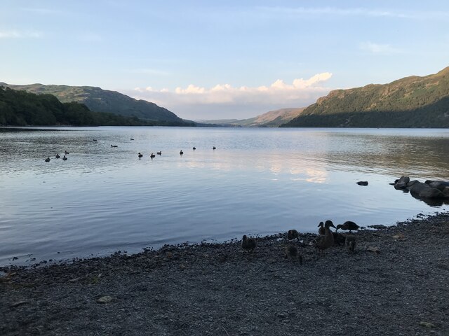
Once at the summit, visitors are rewarded with panoramic views of the surrounding countryside, including the shimmering waters of Derwentwater and the imposing peaks of Skiddaw and Blencathra. On clear days, it is possible to see as far as the Solway Firth and even Scotland.

Overall, Bleaberry Knott is a stunning natural landmark in Westmorland, attracting outdoor enthusiasts who appreciate its beauty and the opportunity to explore the breathtaking scenery of the Lake District National Park.

If you have any feedback on the listing, please let us know in the comments section below.

Bleaberry Knott Images

Images are sourced within 2km of 54.556021/-2.9250231 or Grid Reference NY4018. Thanks to Geograph Open Source API. All images are credited.

Small pool above Hawk Crag
Stream on Place Fell
Low Moss Sheepfold For further info see ‘Heritage Gateway - Results’. 2012. Heritagegateway.org.uk <span class="nowrap"><a title="https://www.heritagegateway.org.uk/Gateway/Results_Single.aspx?uid=2886841&resourceID=801" rel="nofollow ugc noopener" href="https://www.heritagegateway.org.uk/Gateway/Results_Single.aspx?uid=2886841&resourceID=801">Link</a><img style="margin-left:2px;" alt="External link" title="External link - shift click to open in new window" src="https://s1.geograph.org.uk/img/external.png" width="10" height="10"/></span> [accessed 12 October 2022]
Low Moss Sheepfold
For further info see ‘Heritage Gateway - Results’. 2012. Heritagegateway.org.uk LinkExternal link [accessed 12 October 2022]
Sleet Fell
Sleet Fell
Path near Hare Shaw It is a stiff climb up this way from Patterdale, but the view over Ullswater to Glenridding makes it worth the while. The vegetation changes here from bracken to heather with more of a moorland feel.
Path near Hare Shaw
It is a stiff climb up this way from Patterdale, but the view over Ullswater to Glenridding makes it worth the while. The vegetation changes here from bracken to heather with more of a moorland feel.
Path up to Place Fell The path seems to climb interminably past crags which are not the top. The one partly showing on the left is The Knight.
Path up to Place Fell
The path seems to climb interminably past crags which are not the top. The one partly showing on the left is The Knight.
Moorland plateau above The Knight Part of the ridge of Place Fell  but below the craggy summit. This is looking towards Penrith with the long line of the North Pennines in the background.
Moorland plateau above The Knight
Part of the ridge of Place Fell but below the craggy summit. This is looking towards Penrith with the long line of the North Pennines in the background.
The top of Place Fell The trig pillar stands on a small craggy lump. There are excellent views to the northern end of Ullswater, Penrith and the North Pennines.
The top of Place Fell
The trig pillar stands on a small craggy lump. There are excellent views to the northern end of Ullswater, Penrith and the North Pennines.
The southern side of Place Fell The ridge extends south of the summit to Round How before beginning the descent. Brothers Water and the Kirkstone Pass are seen on the right. High Street is in the central background.
The southern side of Place Fell
The ridge extends south of the summit to Round How before beginning the descent. Brothers Water and the Kirkstone Pass are seen on the right. High Street is in the central background.
The western side of Place Fell The fell overlooks Patterdale. The two subsidiary valleys of Grisedale and Glenridding are quite clear opposite. Helvellyn dominates the background in the centre.
The western side of Place Fell
The fell overlooks Patterdale. The two subsidiary valleys of Grisedale and Glenridding are quite clear opposite. Helvellyn dominates the background in the centre.
Descent from Round How Coming off the Place Fell summit ridge. Patterdale and Brothers Water are down below.
Descent from Round How
Coming off the Place Fell summit ridge. Patterdale and Brothers Water are down below.
Ullswater
Ullswater
Jetty on Ullswater
Jetty on Ullswater
A592 towards Glenridding
Ullswater shoreline at Glenridding
The southern end of Ullswater
Path up from Patterdale One of the steeper ascents of Place Fell but it is quite steady.
Path up from Patterdale
One of the steeper ascents of Place Fell but it is quite steady.
Silver Crag A small lump on the side of Place Fell, viewed from higher up the side of Place Fell. Ullswater is below, with Glencoyne Bridge seen on the far side.
Silver Crag
A small lump on the side of Place Fell, viewed from higher up the side of Place Fell. Ullswater is below, with Glencoyne Bridge seen on the far side.
Show me another place!

Bleaberry Knott is located at Grid Ref: NY4018 (Lat: 54.556021, Lng: -2.9250231)

Administrative County: Cumbria

District: Eden

Police Authority: Cumbria

Also known as: Birk Fell

What 3 Words

///adjusted.hitters.prouder. Near Ambleside, Cumbria

Related Wikis

Nearby Amenities

Located within 500m of 54.556021,-2.9250231
Bleaberry Knott
Place: locality
Lat/Long: 54.5545549/-2.9246616
Birk Fell
Place: locality
Lat/Long: 54.5540696/-2.9300689
Bottom Heads
Place: locality
Lat/Long: 54.552953/-2.9243204
Ford: yes
Lat/Long: 54.5541423/-2.9205827
Ford: yes
Lat/Long: 54.5522252/-2.9213989
Ford: yes
Lat/Long: 54.5546663/-2.9202412
The data included in this document is from www.openstreetmap.org. The data is made available under ODbL.

Have you been to Bleaberry Knott?

Leave your review of Bleaberry Knott below (or comments, questions and feedback).