Birkfell Earth

Wood, Forest in Westmorland Eden

England

Birkfell Earth

Stream on Place Fell
Stream on Place Fell Credit: Mick Garratt

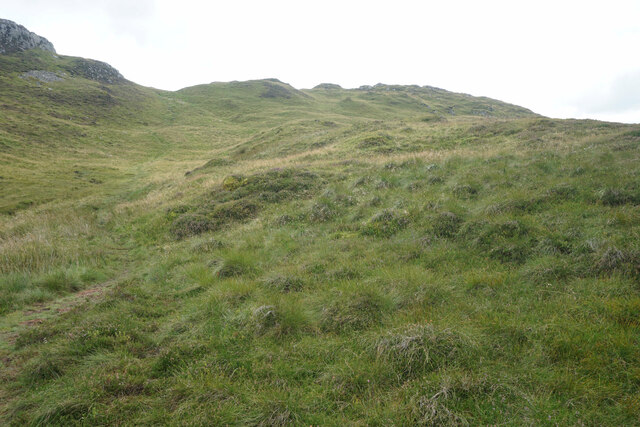
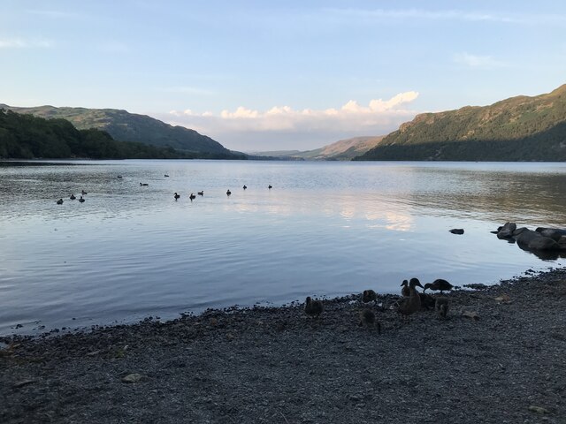
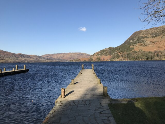
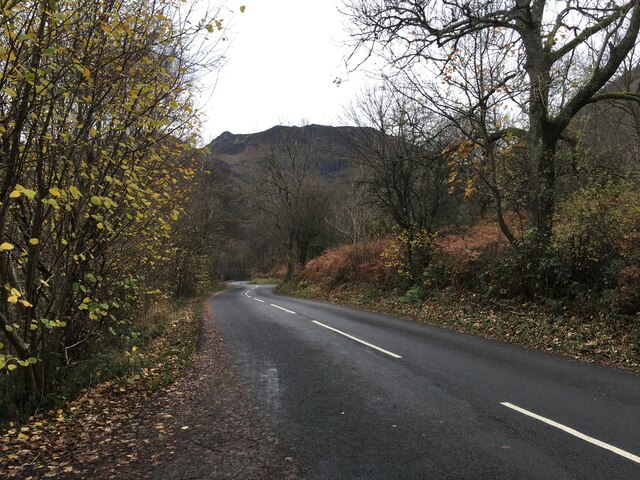
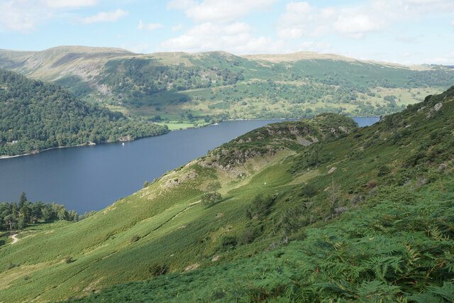
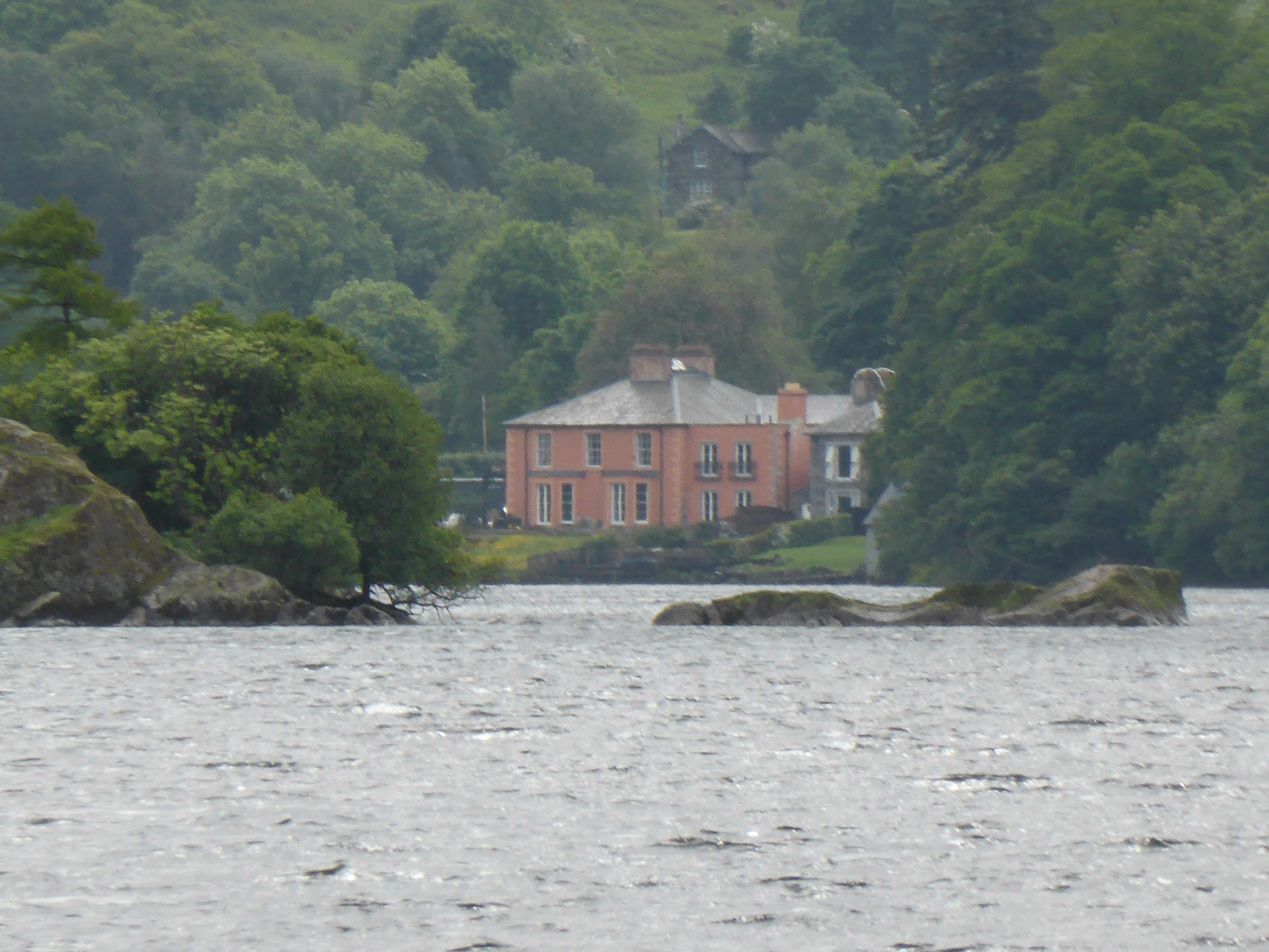
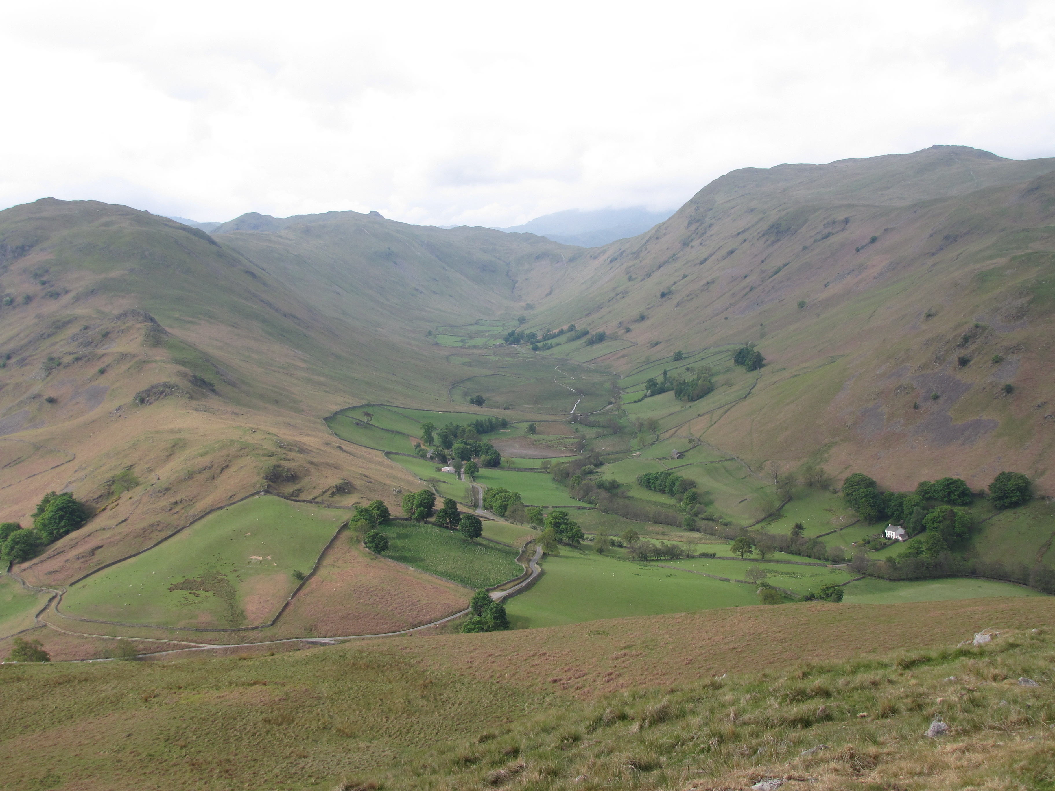
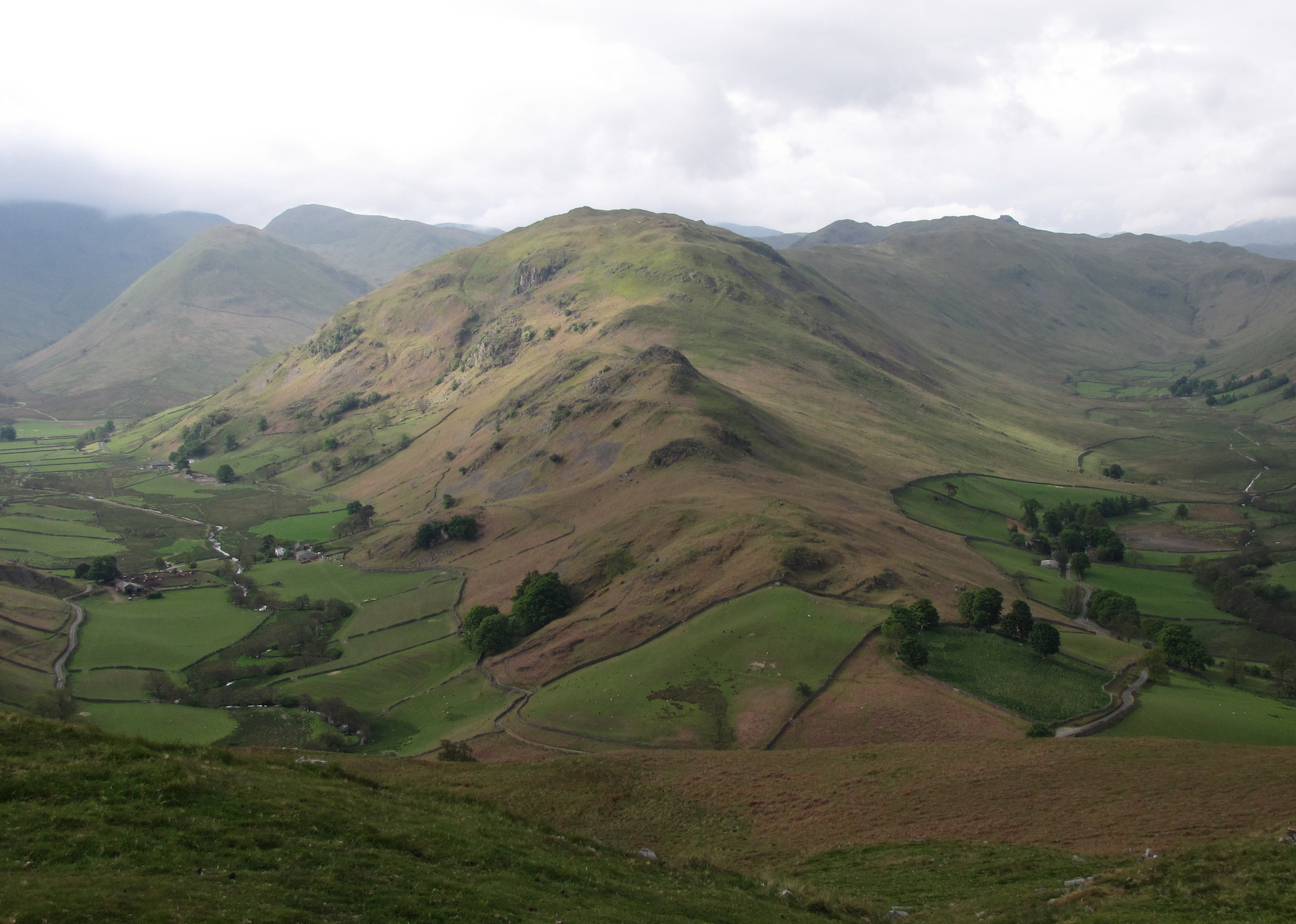
Birkfell Earth, located in Westmorland, is a captivating woodland area that boasts breathtaking natural beauty and a rich history. Situated in the county of Cumbria in northwest England, this enchanting forest covers an expansive area, offering visitors a tranquil and immersive experience in nature.

The woodland features a diverse range of tree species, including oak, ash, birch, and beech, creating a vibrant and lush environment. The dense canopy of the forest provides ample shade, making it an ideal spot for leisurely walks, picnics, and birdwatching. Nature enthusiasts can spot various bird species, such as woodpeckers, thrushes, and owls, among others in this haven for avian life.

Birkfell Earth also holds historical significance, with evidence of human activity dating back centuries. Ancient burial mounds and traces of settlements have been discovered in the area, shedding light on the past civilizations that once thrived here. Archaeologists have unearthed artifacts like pottery, tools, and weapons, providing valuable insights into the lives of these early inhabitants.

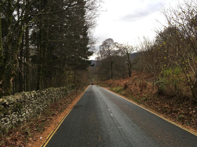
The woodland is accessible via well-maintained footpaths, allowing visitors to explore its many wonders. Its proximity to nearby towns and villages makes it a popular destination for both locals and tourists seeking respite from the bustling city life. Birkfell Earth truly offers a unique and unforgettable experience, where one can immerse themselves in the tranquility of nature while delving into the rich history of the land.

If you have any feedback on the listing, please let us know in the comments section below.

Birkfell Earth Images

Images are sourced within 2km of 54.558656/-2.9270621 or Grid Reference NY4018. Thanks to Geograph Open Source API. All images are credited.

Stream on Place Fell
Low Moss Sheepfold For further info see ‘Heritage Gateway - Results’. 2012. Heritagegateway.org.uk <span class="nowrap"><a title="https://www.heritagegateway.org.uk/Gateway/Results_Single.aspx?uid=2886841&resourceID=801" rel="nofollow ugc noopener" href="https://www.heritagegateway.org.uk/Gateway/Results_Single.aspx?uid=2886841&resourceID=801">Link</a><img style="margin-left:2px;" alt="External link" title="External link - shift click to open in new window" src="https://s1.geograph.org.uk/img/external.png" width="10" height="10"/></span> [accessed 12 October 2022]
Low Moss Sheepfold
For further info see ‘Heritage Gateway - Results’. 2012. Heritagegateway.org.uk LinkExternal link [accessed 12 October 2022]
Sleet Fell
Sleet Fell
Path near Hare Shaw It is a stiff climb up this way from Patterdale, but the view over Ullswater to Glenridding makes it worth the while. The vegetation changes here from bracken to heather with more of a moorland feel.
Path near Hare Shaw
It is a stiff climb up this way from Patterdale, but the view over Ullswater to Glenridding makes it worth the while. The vegetation changes here from bracken to heather with more of a moorland feel.
Path up to Place Fell The path seems to climb interminably past crags which are not the top. The one partly showing on the left is The Knight.
Path up to Place Fell
The path seems to climb interminably past crags which are not the top. The one partly showing on the left is The Knight.
Moorland plateau above The Knight Part of the ridge of Place Fell  but below the craggy summit. This is looking towards Penrith with the long line of the North Pennines in the background.
Moorland plateau above The Knight
Part of the ridge of Place Fell but below the craggy summit. This is looking towards Penrith with the long line of the North Pennines in the background.
The top of Place Fell The trig pillar stands on a small craggy lump. There are excellent views to the northern end of Ullswater, Penrith and the North Pennines.
The top of Place Fell
The trig pillar stands on a small craggy lump. There are excellent views to the northern end of Ullswater, Penrith and the North Pennines.
The southern side of Place Fell The ridge extends south of the summit to Round How before beginning the descent. Brothers Water and the Kirkstone Pass are seen on the right. High Street is in the central background.
The southern side of Place Fell
The ridge extends south of the summit to Round How before beginning the descent. Brothers Water and the Kirkstone Pass are seen on the right. High Street is in the central background.
The western side of Place Fell The fell overlooks Patterdale. The two subsidiary valleys of Grisedale and Glenridding are quite clear opposite. Helvellyn dominates the background in the centre.
The western side of Place Fell
The fell overlooks Patterdale. The two subsidiary valleys of Grisedale and Glenridding are quite clear opposite. Helvellyn dominates the background in the centre.
Dead tree near Groove Gill Dead tree near Groove Gill.
Dead tree near Groove Gill
Dead tree near Groove Gill.
Ullswater
Ullswater
Aira Force Aira Force is a waterfall where Aira Beck plunges an impressive 65 feet down a rocky ravine approximately one kilometre before it reaches Ullswater. 

Aira Force lies on land owned by the National Trust. The Trust purchased the 750 acre Gowbarrow Park (on which the force lies) in 1906 and has provided facilities, such as car parking, disabled access, graded paths, and viewing platforms which have contributed towards making Aira Force one of the most famous and most visited waterfalls in the Lake District.

A small arched bridge spans the stream just as the beck goes over the falls giving a spectacular view from the top as the water makes its leap. There is also a second bridge at the foot of the falls.

<span class="nowrap"><a title="http://www.nationaltrust.org.uk/aira-force-and-ullswater/" rel="nofollow ugc noopener" href="http://www.nationaltrust.org.uk/aira-force-and-ullswater/">Link</a><img style="margin-left:2px;" alt="External link" title="External link - shift click to open in new window" src="https://s1.geograph.org.uk/img/external.png" width="10" height="10"/></span>   Aira Force and Ullswater Visitor Information (National Trust)
Aira Force
Aira Force is a waterfall where Aira Beck plunges an impressive 65 feet down a rocky ravine approximately one kilometre before it reaches Ullswater. Aira Force lies on land owned by the National Trust. The Trust purchased the 750 acre Gowbarrow Park (on which the force lies) in 1906 and has provided facilities, such as car parking, disabled access, graded paths, and viewing platforms which have contributed towards making Aira Force one of the most famous and most visited waterfalls in the Lake District. A small arched bridge spans the stream just as the beck goes over the falls giving a spectacular view from the top as the water makes its leap. There is also a second bridge at the foot of the falls. LinkExternal link Aira Force and Ullswater Visitor Information (National Trust)
Jetty on Ullswater
Jetty on Ullswater
A5091 towards Ullswater
A592 towards Glenridding
Ullswater shoreline at Glenridding
Path up from Patterdale One of the steeper ascents of Place Fell but it is quite steady.
Path up from Patterdale
One of the steeper ascents of Place Fell but it is quite steady.
Silver Crag A small lump on the side of Place Fell, viewed from higher up the side of Place Fell. Ullswater is below, with Glencoyne Bridge seen on the far side.
Silver Crag
A small lump on the side of Place Fell, viewed from higher up the side of Place Fell. Ullswater is below, with Glencoyne Bridge seen on the far side.
Show me another place!

Birkfell Earth is located at Grid Ref: NY4018 (Lat: 54.558656, Lng: -2.9270621)

Administrative County: Cumbria

District: Eden

Police Authority: Cumbria

What 3 Words

///enhancement.shades.showering. Near Keswick, Cumbria

Related Wikis

Nearby Amenities

Located within 500m of 54.558656,-2.9270621
Ford: yes
Lat/Long: 54.5609524/-2.9256371
Bleaberry Knott
Place: locality
Lat/Long: 54.5545549/-2.9246616
Silver Bay
Natural: bay
Lat/Long: 54.5581055/-2.9342712
The data included in this document is from www.openstreetmap.org. The data is made available under ODbL.

Have you been to Birkfell Earth?

Leave your review of Birkfell Earth below (or comments, questions and feedback).