Birk Fell
Hill, Mountain in Lancashire South Lakeland
England
Birk Fell
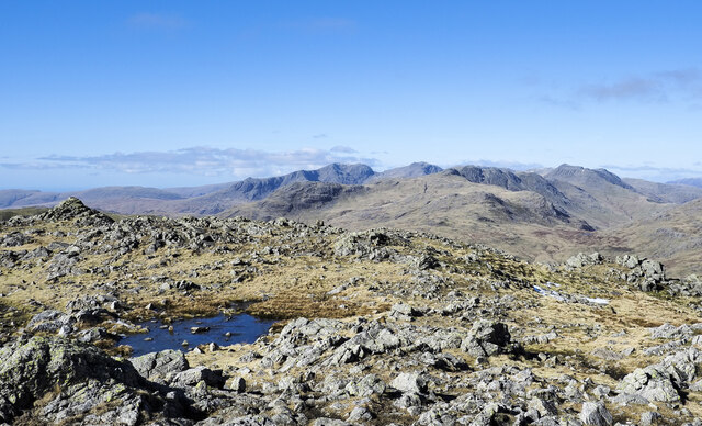
Birk Fell is a prominent hill located in Lancashire, England. Situated in the Lake District National Park, it is part of the larger Helvellyn range. Birk Fell stands at an elevation of approximately 610 meters (2,000 feet) and offers stunning panoramic views of the surrounding countryside.
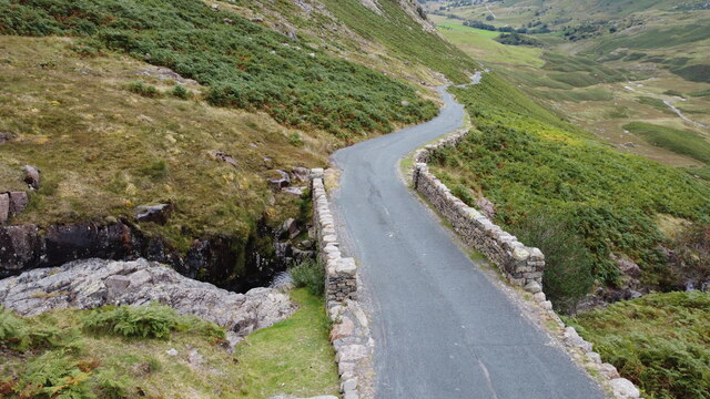
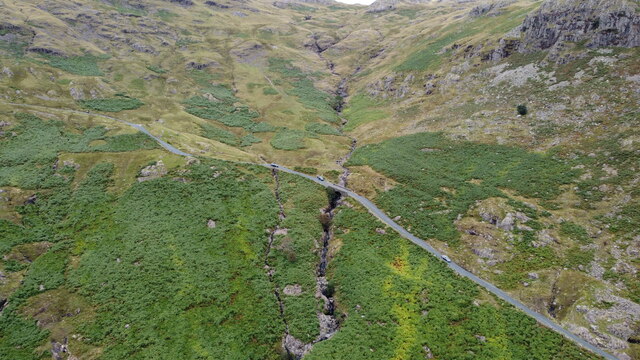
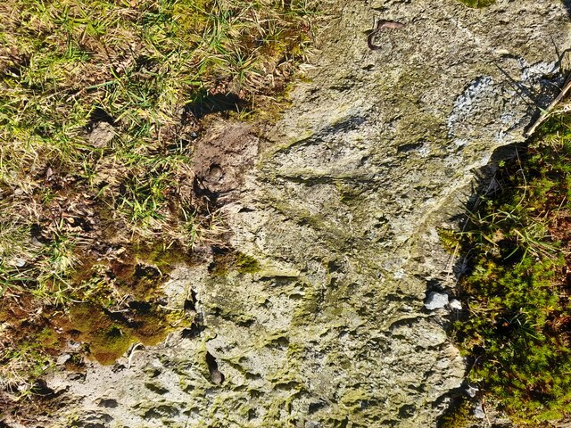
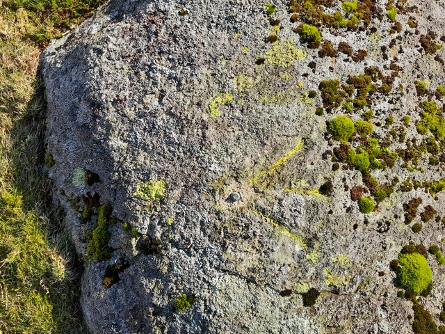
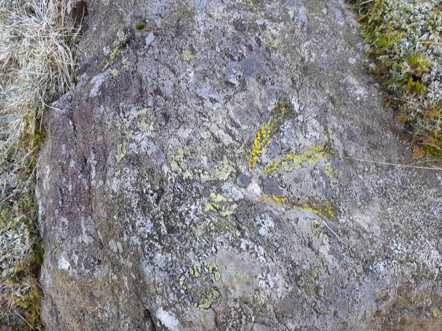
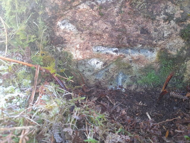
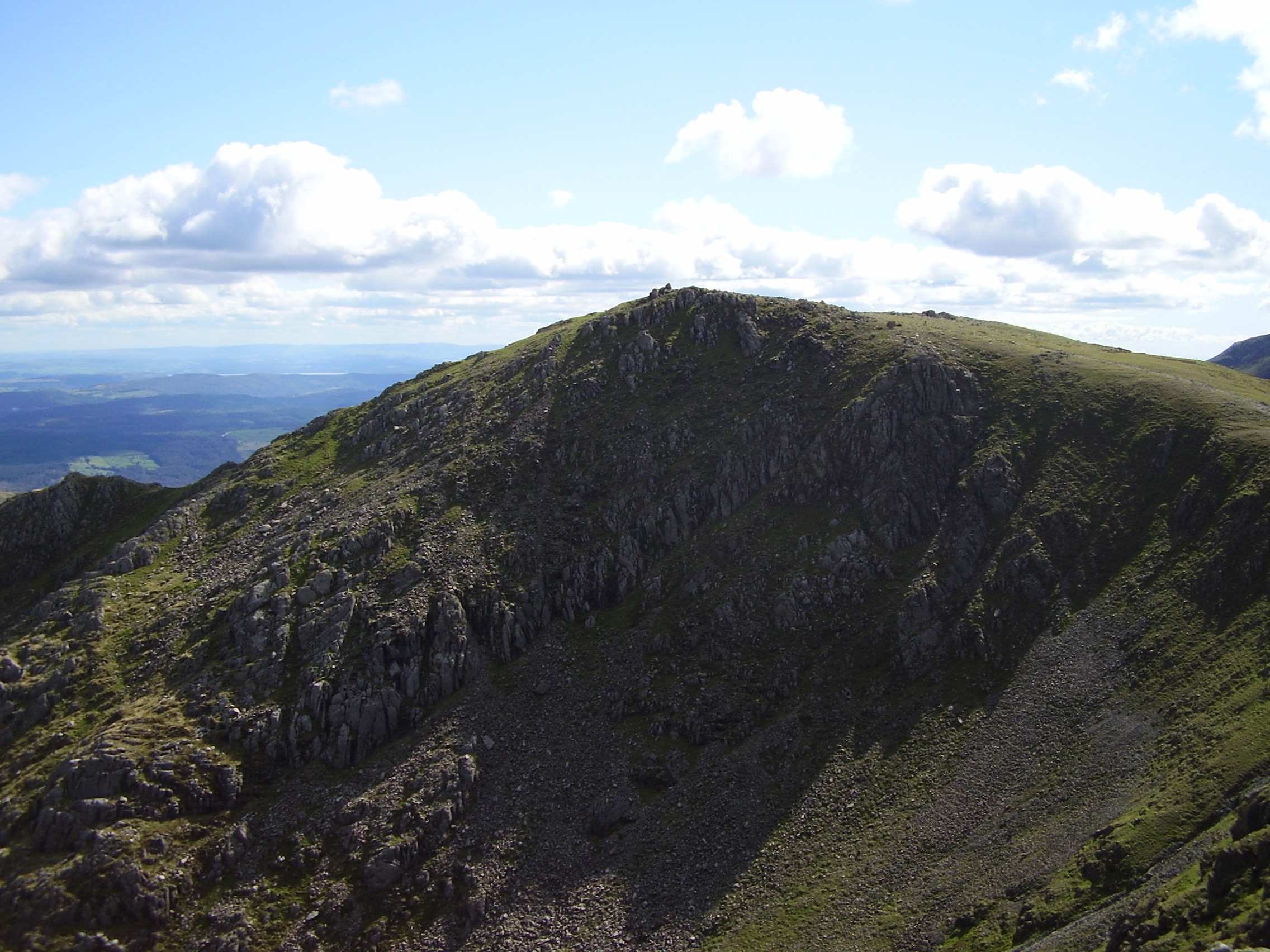
The hill is characterized by its rugged terrain, with a mixture of craggy outcrops, heather-covered slopes, and small tarns dotting the landscape. It is a popular destination for hikers and outdoor enthusiasts, attracting both locals and tourists alike. Birk Fell can be accessed via a number of footpaths, with the most common route starting from the nearby village of Patterdale.
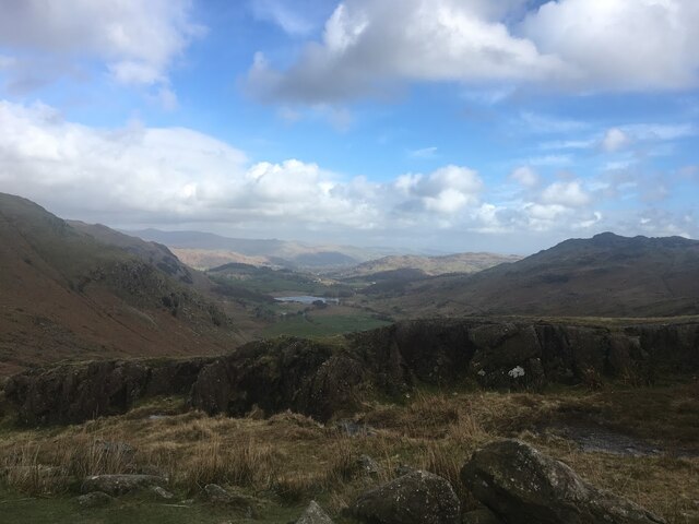
The summit of Birk Fell offers breathtaking views of the surrounding mountains and lakes, including Ullswater, one of the largest lakes in the Lake District. On a clear day, it is possible to see as far as the Scottish borders to the north. The hill is also home to a variety of wildlife, including red deer, birds of prey, and rare alpine plants.
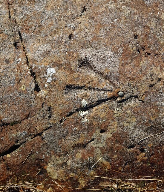
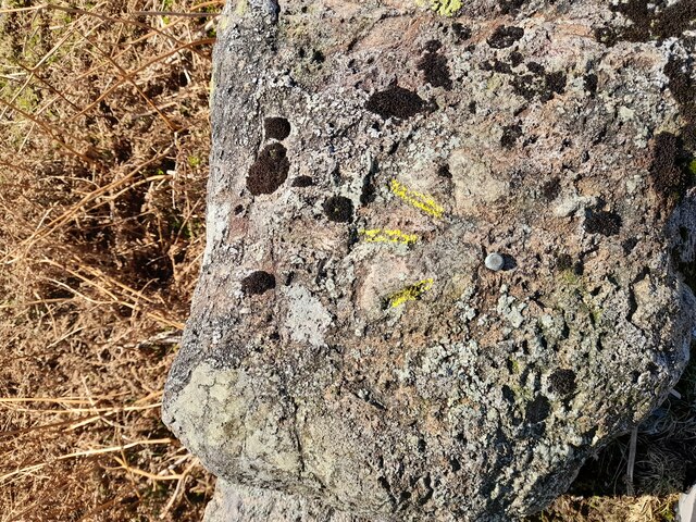
Birk Fell is steeped in history and folklore. It is believed to have been a site of ancient settlements, with evidence of stone tools and pottery dating back to the Neolithic period. In more recent history, the area was used for mining lead and copper, and remnants of old mine workings can still be seen today.
Overall, Birk Fell is a picturesque and significant landmark in Lancashire, offering visitors a chance to immerse themselves in the natural beauty and rich history of the Lake District.
If you have any feedback on the listing, please let us know in the comments section below.
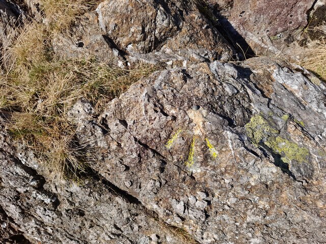
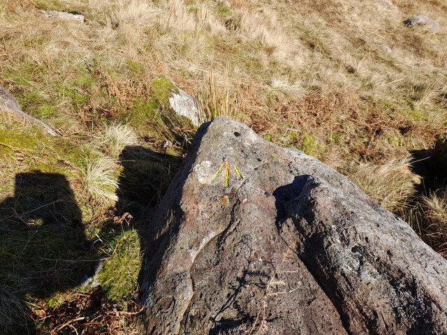
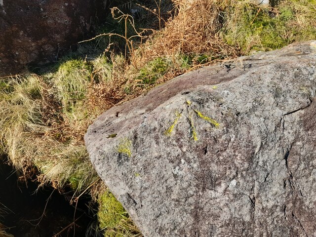
Birk Fell Images
Images are sourced within 2km of 54.405747/-3.0874378 or Grid Reference NY2901. Thanks to Geograph Open Source API. All images are credited.

Birk Fell is located at Grid Ref: NY2901 (Lat: 54.405747, Lng: -3.0874378)
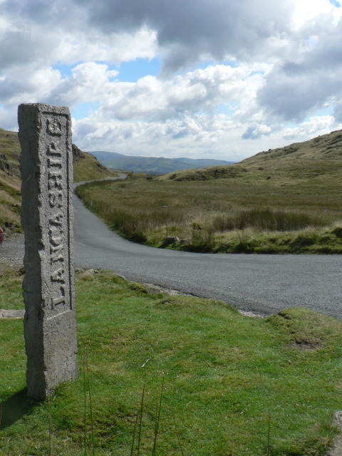
Administrative County: Cumbria
District: South Lakeland
Police Authority: Cumbria
Also known as: Birk Fell Man
What 3 Words
///migrate.factor.sparrows. Near Ambleside, Cumbria
Nearby Locations
Related Wikis

Wetherlam
Wetherlam (763 m) is a mountain in the English Lake District. It is the most northerly of the Coniston Fells, the range of fells to the north-west of Coniston...

Ting Mound
The Ting Mound or Thing Moot at Fellfoot Farm, Little Langdale, Cumbria, England is an Ancient Monument (a 'nationally important' archaeological site)...
Three Shire Stone (Lake District)
The Three Shire Stone is a boundary stone that marks the location where the historic English counties of Lancashire, Cumberland and Westmorland meet. The...

River Brathay
The Brathay is a river of north-west England. Its name comes from Old Norse and means broad river. It rises at a point 1289 feet (393 m) above sea level...

Slater's Bridge
Slater's Bridge is a traditional packhorse bridge in Little Langdale in the English Lake District, standing at National Grid Reference NY3120502996....

Wrynose Pass
The Wrynose Pass is a mountain pass in the Lake District National Park in Cumbria, England between the Duddon Valley and Little Langdale. == Etymology... ==

Holme Fell
Holme Fell or Holm Fell is a fell in the Lake District in Cumbria, England. It is located between Coniston Water and Little Langdale, almost isolated from...
Swirl How
Swirl How is a fell in the English Lake District. It stands between Coniston and the Duddon Valley in the southern part of the District. It rivals the...
Nearby Amenities
Located within 500m of 54.405747,-3.0874378Have you been to Birk Fell?
Leave your review of Birk Fell below (or comments, questions and feedback).