Birk Fell

Downs, Moorland in Lancashire South Lakeland

England

Birk Fell

The Bridge over Wrynose Beck
The Bridge over Wrynose Beck Credit: Andy Beecroft

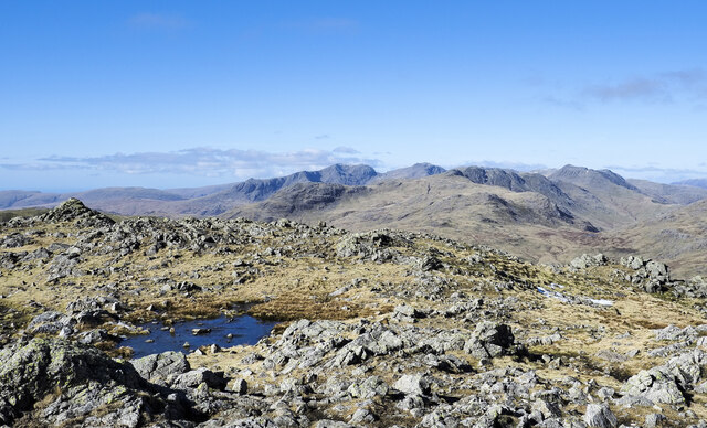
Birk Fell is a scenic area located in the county of Lancashire, England. Situated in the northern part of the county, Birk Fell encompasses a combination of downs and moorland landscapes, offering visitors a diverse and picturesque environment to explore.

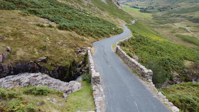
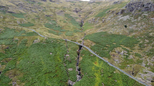
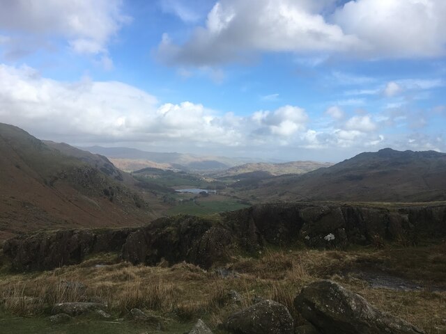
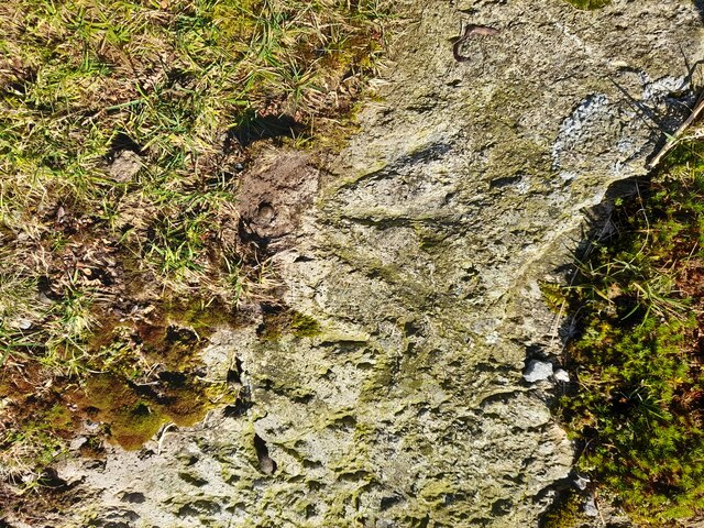
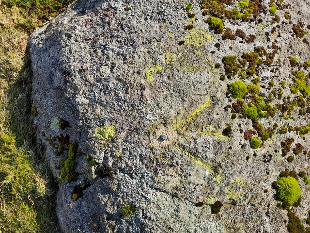
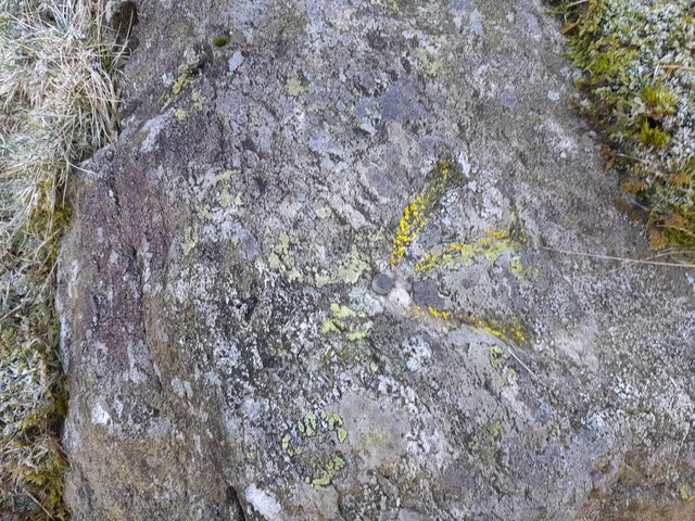
The area is characterized by its rolling hills, heather-covered moors, and breathtaking views of the surrounding countryside. Birk Fell is known for its tranquil and untouched beauty, attracting nature enthusiasts and hikers from all over. The undulating terrain provides ample opportunities for outdoor activities such as walking, cycling, and birdwatching.

The flora and fauna of Birk Fell are diverse and unique. The moorland is home to a variety of plant species, including heather, cotton grass, and bilberry. The area also supports a diverse range of birdlife, with species such as curlews, lapwings, and merlins frequently spotted.

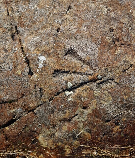
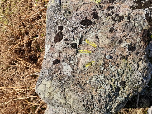
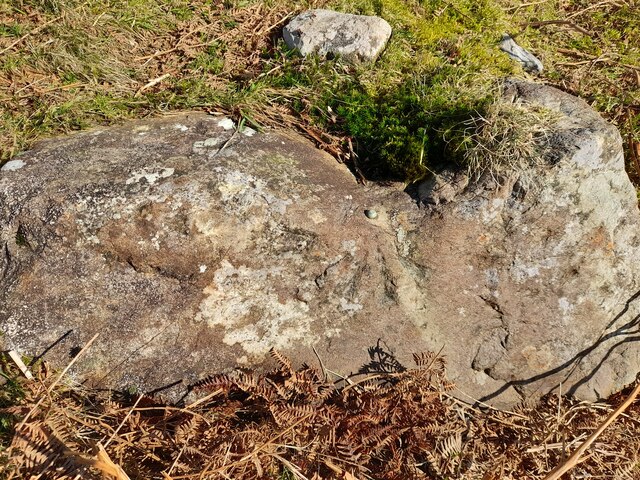
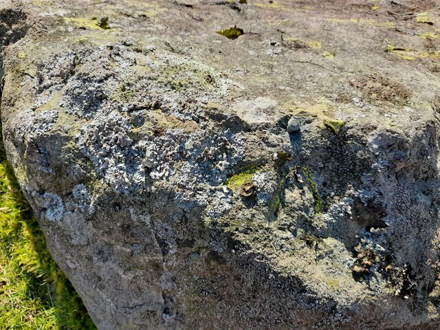
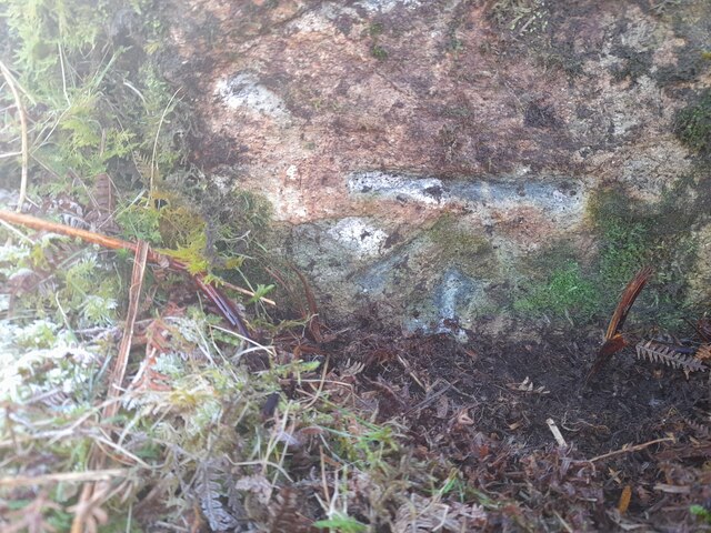
In addition to its natural beauty, Birk Fell holds historical significance. The remains of ancient settlements and burial mounds can be found scattered throughout the area, providing a glimpse into the region's past. These archaeological sites add a touch of intrigue to the landscape, enticing history buffs and archaeology enthusiasts.

Birk Fell offers visitors a peaceful retreat away from the hustle and bustle of city life. Its unspoiled beauty, combined with its rich history and diverse wildlife, make it a must-visit destination for nature lovers and those seeking a tranquil escape in the heart of Lancashire.

If you have any feedback on the listing, please let us know in the comments section below.
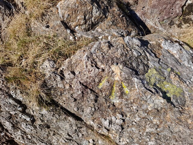
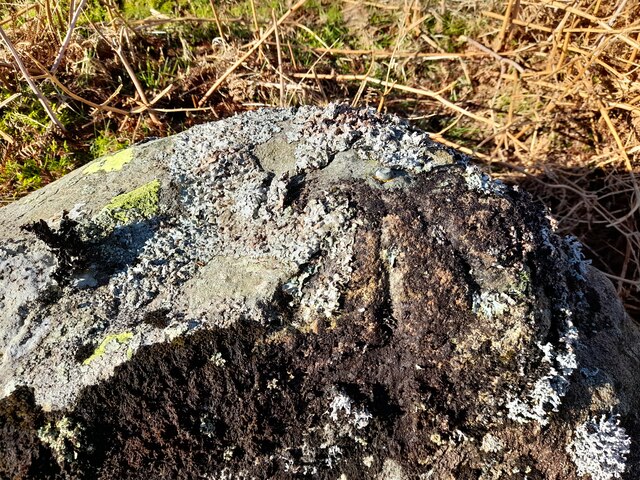
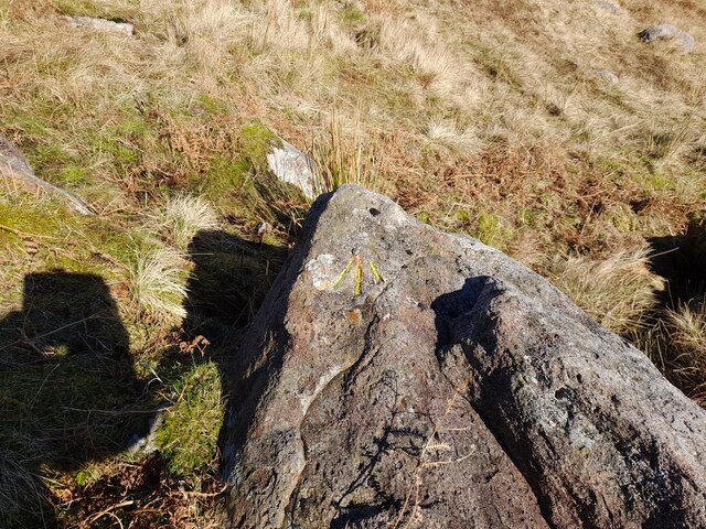
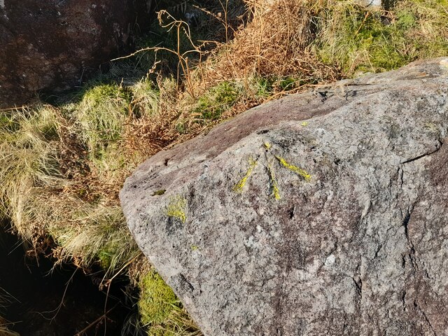
Birk Fell Images

Images are sourced within 2km of 54.406827/-3.0862646 or Grid Reference NY2901. Thanks to Geograph Open Source API. All images are credited.

The Bridge over Wrynose Beck
Wrynose Beck and the Road Bridge over it
Wrynose Pass The valley looking down towards Greenburn Beck
Wrynose Pass
The valley looking down towards Greenburn Beck
Ordnance Survey Cut Mark This OS cut mark can be found on a rock SE side of the road. It marks a point 358.439m above mean sea level.
Ordnance Survey Cut Mark
This OS cut mark can be found on a rock SE side of the road. It marks a point 358.439m above mean sea level.
Ordnance Survey Rivet This OS rivet can be found on a rock NW side of the road. It marks a point 379.116m above mean sea level.
Ordnance Survey Rivet
This OS rivet can be found on a rock NW side of the road. It marks a point 379.116m above mean sea level.
Ordnance Survey Rivet This OS rivet can be found on a rock NW side of the road. It marks a point 339.017m above mean sea level.
Ordnance Survey Rivet
This OS rivet can be found on a rock NW side of the road. It marks a point 339.017m above mean sea level.
Ordnance Survey Rivet This OS rivet can be found on a rock NW side of the road. It marks a point 317.215m above mean sea level.
Ordnance Survey Rivet
This OS rivet can be found on a rock NW side of the road. It marks a point 317.215m above mean sea level.
Ordnance Survey Pivot This OS pivot can be found on a rock NW side of the road.
Ordnance Survey Pivot
This OS pivot can be found on a rock NW side of the road.
Ordnance Survey Rivet This OS rivet can be found on a rock north side of the road. It marks a point 299.762m above mean sea level.
Ordnance Survey Rivet
This OS rivet can be found on a rock north side of the road. It marks a point 299.762m above mean sea level.
Ordnance Survey Rivet This OS rivet can be found on the retaining wall SE side of the road. It marks a point 282.915m above mean sea level.
Ordnance Survey Rivet
This OS rivet can be found on the retaining wall SE side of the road. It marks a point 282.915m above mean sea level.
Ordnance Survey Rivet This OS rivet can be found on a rock north side of the road. It marks a point 271.068m above mean sea level.
Ordnance Survey Rivet
This OS rivet can be found on a rock north side of the road. It marks a point 271.068m above mean sea level.
Ordnance Survey Rivet This OS rivet can be found on a rock south side of the road. It marks a point 232.669m above mean sea level.
Ordnance Survey Rivet
This OS rivet can be found on a rock south side of the road. It marks a point 232.669m above mean sea level.
Ordnance Survey Rivet This OS rivet can be found on a rock north side of the road. It marks a point 200.357m above mean sea level.
Ordnance Survey Rivet
This OS rivet can be found on a rock north side of the road. It marks a point 200.357m above mean sea level.
Ordnance Survey Rivet This OS rivet can be found on a rock north side of the road. It marks a point 186.041m above mean sea level.
Ordnance Survey Rivet
This OS rivet can be found on a rock north side of the road. It marks a point 186.041m above mean sea level.
Ordnance Survey Rivet This OS rivet can be found on a rock south side of the road. It marks a point 167.817m above mean sea level.
Ordnance Survey Rivet
This OS rivet can be found on a rock south side of the road. It marks a point 167.817m above mean sea level.
Ordnance Survey Cut Mark This OS cut mark can be found on a rock south side of the road. It marks a point 149.959m above mean sea level.
Ordnance Survey Cut Mark
This OS cut mark can be found on a rock south side of the road. It marks a point 149.959m above mean sea level.
Shallow pool on ridge rising to Wetherlam A broad, lengthy ridge which in its higher reach is fairly featureless rises generally northwards to the Wetherlam summit. There are minor knolls and a tarn or two; this is the more attractive of them.
Helvellyn and Fairfield and their satellite mountains are in the distance.
Shallow pool on ridge rising to Wetherlam
A broad, lengthy ridge which in its higher reach is fairly featureless rises generally northwards to the Wetherlam summit. There are minor knolls and a tarn or two; this is the more attractive of them. Helvellyn and Fairfield and their satellite mountains are in the distance.
Rock exposures at summit area of Wetherlam Extensive, knobbly exposures of bare rock lying to the north of the summit cairn with little of it standing much above the  general ground level.
The distant range of mountains has Slight Side and Scafell to the left with Bow Fell at the right.
Rock exposures at summit area of Wetherlam
Extensive, knobbly exposures of bare rock lying to the north of the summit cairn with little of it standing much above the general ground level. The distant range of mountains has Slight Side and Scafell to the left with Bow Fell at the right.
Show me another place!

Birk Fell is located at Grid Ref: NY2901 (Lat: 54.406827, Lng: -3.0862646)

Administrative County: Cumbria

District: South Lakeland

Police Authority: Cumbria

What 3 Words

///sitting.reputable.width. Near Ambleside, Cumbria

Related Wikis

Wetherlam

Wetherlam (763 m) is a mountain in the English Lake District. It is the most northerly of the Coniston Fells, the range of fells to the north-west of Coniston...

Ting Mound

The Ting Mound or Thing Moot at Fellfoot Farm, Little Langdale, Cumbria, England is an Ancient Monument (a 'nationally important' archaeological site)...

Slater's Bridge

Slater's Bridge is a traditional packhorse bridge in Little Langdale in the English Lake District, standing at National Grid Reference NY3120502996....

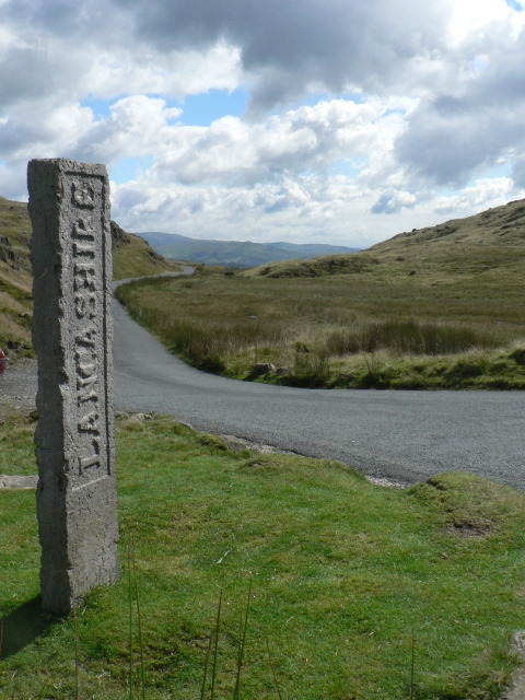
Three Shire Stone (Lake District)

The Three Shire Stone is a boundary stone that marks the location where the historic English counties of Lancashire, Cumberland and Westmorland meet. The...

River Brathay

The Brathay is a river of north-west England. Its name comes from Old Norse and means broad river. It rises at a point 1289 feet (393 m) above sea level...

Wrynose Pass

The Wrynose Pass is a mountain pass in the Lake District National Park in Cumbria, England between the Duddon Valley and Little Langdale. == Etymology... ==

Holme Fell

Holme Fell or Holm Fell is a fell in the Lake District in Cumbria, England. It is located between Coniston Water and Little Langdale, almost isolated from...
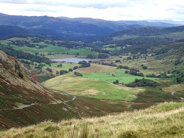
Little Langdale

Little Langdale is a valley in the Lake District, England, containing Little Langdale Tarn and a hamlet also called Little Langdale. A second tarn, Blea...

Nearby Amenities

Located within 500m of 54.406827,-3.0862646
Hellens Copper Mine
Abandoned: yes
Historic: mine
Man Made: mine
Mineral: copper
Lat/Long: 54.4043127/-3.0818546
Borlase Lower Copper Mine
Abandoned: yes
Historic: mine
Man Made: mine
Mineral: copper
Lat/Long: 54.404157/-3.0841562
Birk Fell Copper Mine
Abandoned: yes
Historic: mine
Mineral: copper
Lat/Long: 54.4043832/-3.0897169
Pave York Copper Mine
Abandoned: yes
Historic: mine
Mineral: copper
Lat/Long: 54.4056213/-3.0934423
Hawk Rigg
Place: locality
Lat/Long: 54.4040139/-3.0804767
Birk Fell Man
Place: locality
Lat/Long: 54.4061076/-3.0873006
Birk Fell
Place: locality
Lat/Long: 54.4083102/-3.0877623
Birk Fell Hawse
Place: locality
Lat/Long: 54.4049174/-3.0917036
Blake Rigg Plantation
Place: locality
Lat/Long: 54.4055185/-3.0855179
Barrier: stile
Lat/Long: 54.4098782/-3.0812497
Abandoned: yes
Man Made: adit
Lat/Long: 54.4055976/-3.0932575
Abandoned: yes
Direction: 180
Man Made: adit
Lat/Long: 54.4060924/-3.0938585
Abandoned: yes
Direction: 35
Man Made: adit
Lat/Long: 54.4043208/-3.0820817
Abandoned: yes
Man Made: mineshaft
Lat/Long: 54.4043763/-3.0816373
Direction: 310
Man Made: adit
Lat/Long: 54.4041252/-3.0841254
Abandoned: yes
Man Made: mineshaft
Lat/Long: 54.4047631/-3.0854001
Direction: 290
Man Made: adit
Lat/Long: 54.4043609/-3.089323
Borlase Upper Copper Mine
Abandoned: yes
Historic: mine
Man Made: mine
Mineral: copper
Lat/Long: 54.4047866/-3.0854092
The data included in this document is from www.openstreetmap.org. The data is made available under ODbL.

Have you been to Birk Fell?

Leave your review of Birk Fell below (or comments, questions and feedback).