Dry Cove Bottom
Valley in Lancashire South Lakeland
England
Dry Cove Bottom

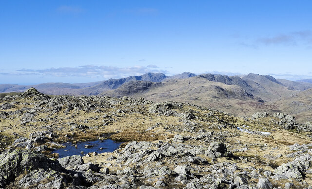
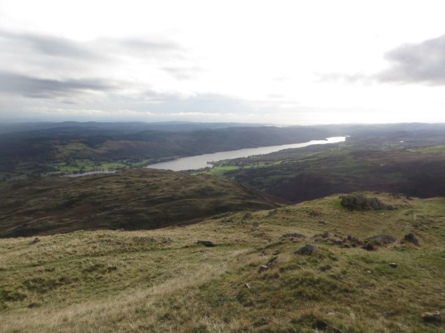
Dry Cove Bottom is a picturesque valley located in the county of Lancashire, England. Nestled amidst the rolling hills of the Ribble Valley, this charming area is renowned for its natural beauty and tranquil atmosphere. The valley is situated approximately 7 miles northeast of Clitheroe and covers an area of around 2 square miles.
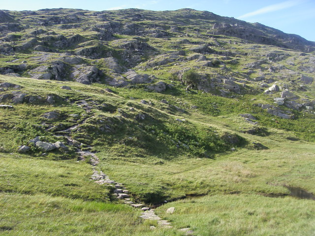
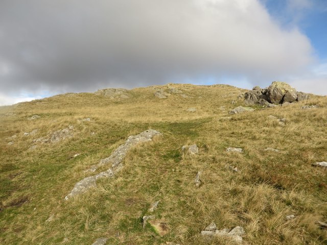
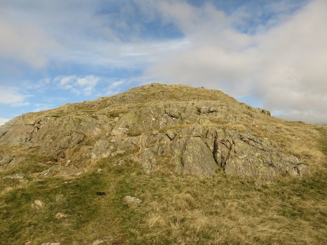
The name "Dry Cove Bottom" originates from the topographical features of the area. The valley is characterized by its dry and rocky terrain, with a distinct lack of surface water sources such as rivers or streams. The absence of water in the valley gives it a unique and arid landscape, which contrasts with the lush greenery of the surrounding hills.
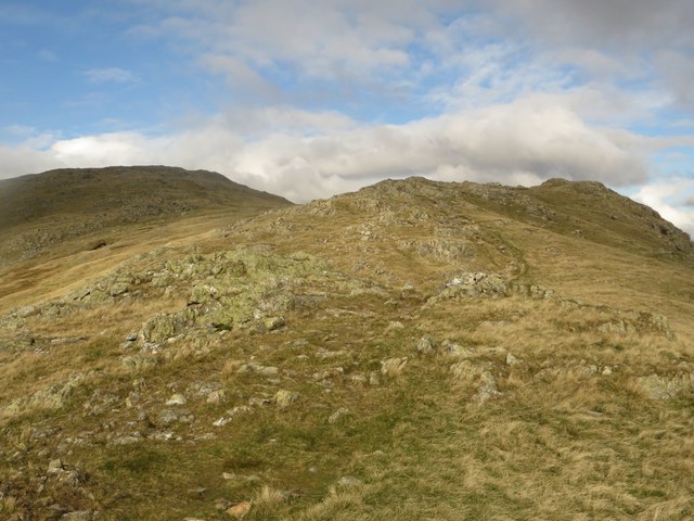
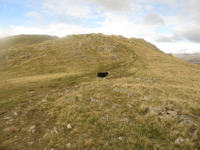
The valley is predominantly covered in heather moorland, interspersed with patches of grassland and scattered trees. This diverse ecosystem provides a habitat for a variety of wildlife, including birds such as curlews, lapwings, and red grouse. The area is also home to several species of mammals, including hares, rabbits, and deer.
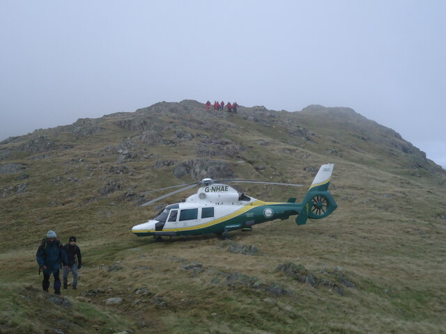
Dry Cove Bottom offers visitors a range of recreational activities. The valley is a popular destination for hiking and walking enthusiasts, who can explore the numerous trails that wind their way through the rugged terrain. The panoramic views from the hilltops are particularly breathtaking, offering glimpses of the surrounding countryside and distant peaks.
Overall, Dry Cove Bottom is a hidden gem within Lancashire, offering visitors a chance to experience the beauty of a dry valley landscape and immerse themselves in the tranquility of nature.
If you have any feedback on the listing, please let us know in the comments section below.
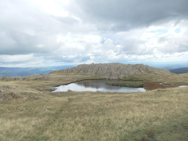
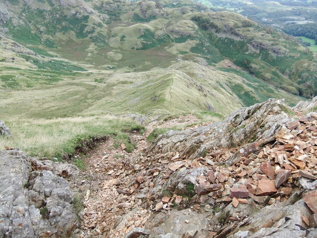
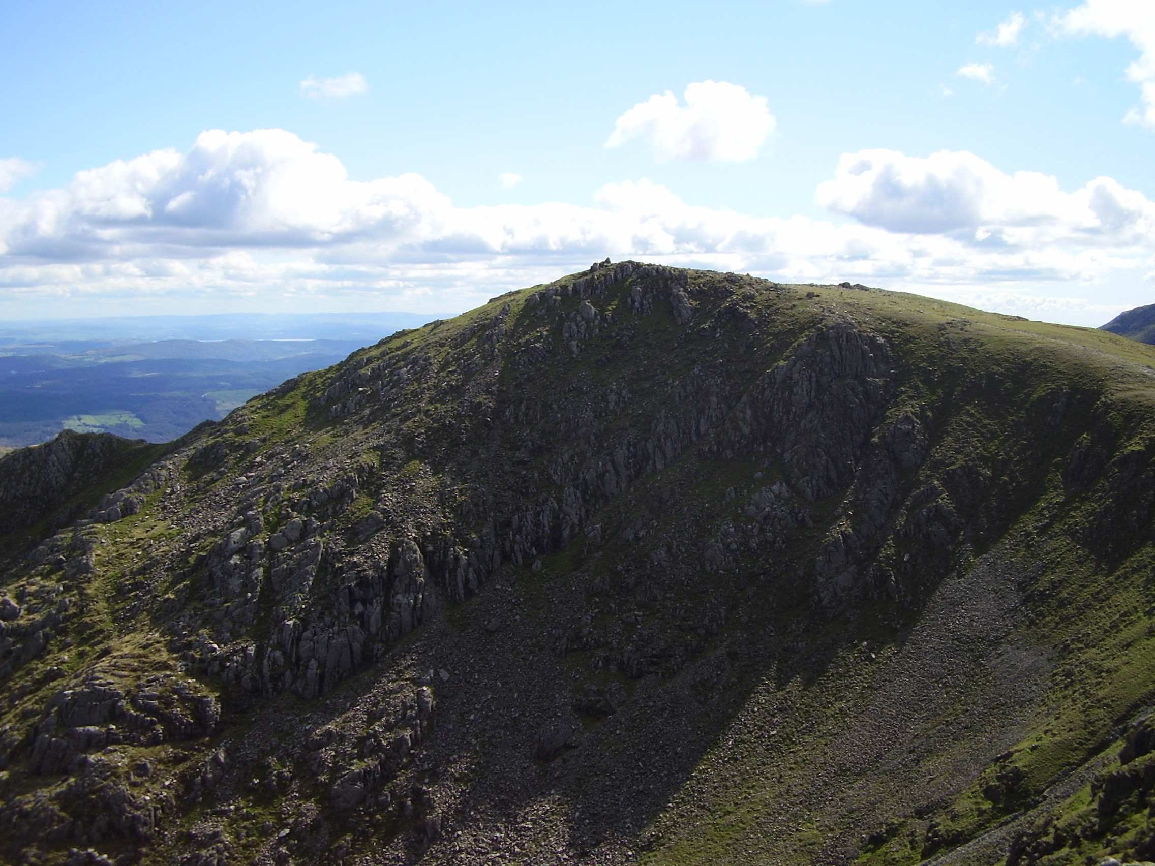
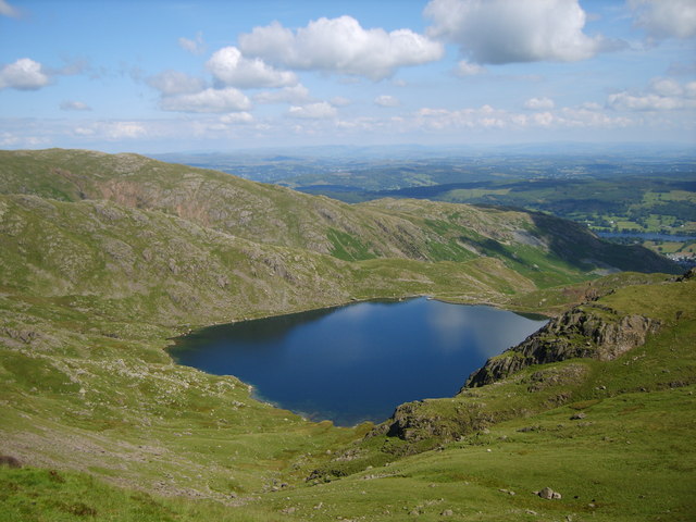
Dry Cove Bottom Images
Images are sourced within 2km of 54.400126/-3.0829297 or Grid Reference NY2901. Thanks to Geograph Open Source API. All images are credited.


Dry Cove Bottom is located at Grid Ref: NY2901 (Lat: 54.400126, Lng: -3.0829297)
Administrative County: Cumbria
District: South Lakeland
Police Authority: Cumbria
What 3 Words
///storyline.rise.things. Near Ambleside, Cumbria
Nearby Locations
Related Wikis

Wetherlam
Wetherlam (763 m) is a mountain in the English Lake District. It is the most northerly of the Coniston Fells, the range of fells to the north-west of Coniston...

Holme Fell
Holme Fell or Holm Fell is a fell in the Lake District in Cumbria, England. It is located between Coniston Water and Little Langdale, almost isolated from...

Ting Mound
The Ting Mound or Thing Moot at Fellfoot Farm, Little Langdale, Cumbria, England is an Ancient Monument (a 'nationally important' archaeological site)...

Slater's Bridge
Slater's Bridge is a traditional packhorse bridge in Little Langdale in the English Lake District, standing at National Grid Reference NY3120502996....

Yew Tree Tarn
Yew Tree Tarn is a small lake in the English Lake District situated in between the towns of Ambleside and Coniston. The tarn was formed when the local...
Swirl How
Swirl How is a fell in the English Lake District. It stands between Coniston and the Duddon Valley in the southern part of the District. It rivals the...
Levers Water
Levers Water is a small lake in the English Lake District. It is located at the head of the Coppermines Valley, above Coniston village. To its south-west...

Coniston copper mines
The Coniston copper mines were a copper mining operation in Lancashire, England. It was functional for hundreds of years in Coppermines Valley above Coniston...
Nearby Amenities
Located within 500m of 54.400126,-3.0829297Have you been to Dry Cove Bottom?
Leave your review of Dry Cove Bottom below (or comments, questions and feedback).