Birk Fell Man
Hill, Mountain in Lancashire South Lakeland
England
Birk Fell Man
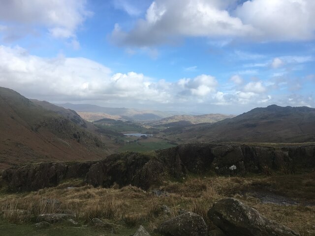
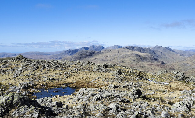
Birk Fell is a prominent hill located in Lancashire, England. It is situated within the Lake District National Park, specifically in the Southern Fells region. Rising to an elevation of 610 meters (2,001 feet), Birk Fell offers breathtaking panoramic views of the surrounding landscapes.
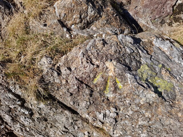
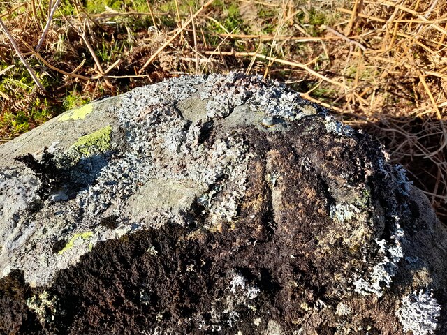
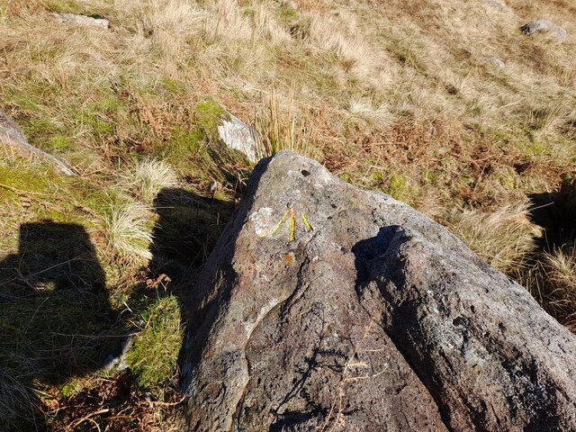
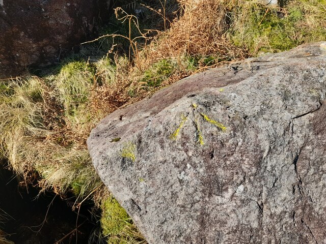
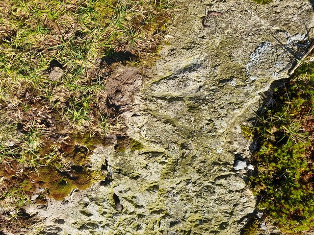
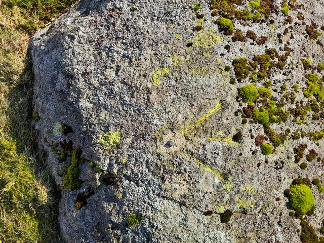
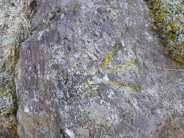
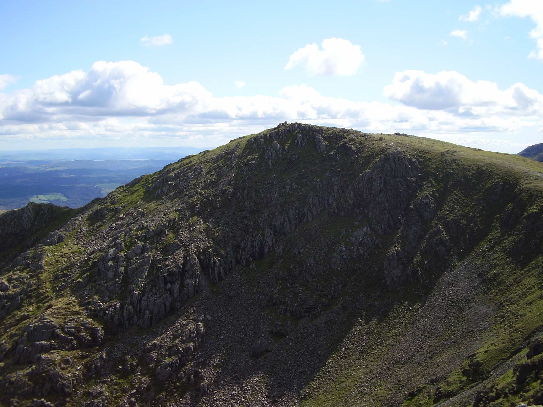
The hill is part of a ridge formation known as the Coniston Fells, which extend from the Old Man of Coniston to Wetherlam. Birk Fell is primarily composed of volcanic rock, giving it a rugged and distinctive appearance. Its slopes are covered in a mixture of grasses, heather, and bracken, providing a habitat for a variety of wildlife.
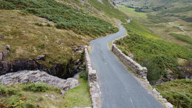
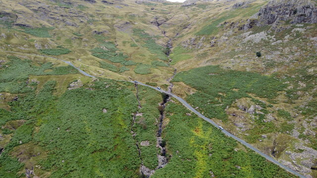
Birk Fell is a popular destination for hikers and outdoor enthusiasts, offering several walking routes that cater to different levels of experience. One of the most common routes starts from the village of Torver and follows a path that gradually ascends the hill. The summit rewards visitors with stunning views of Coniston Water, the nearby fells, and the surrounding valleys.
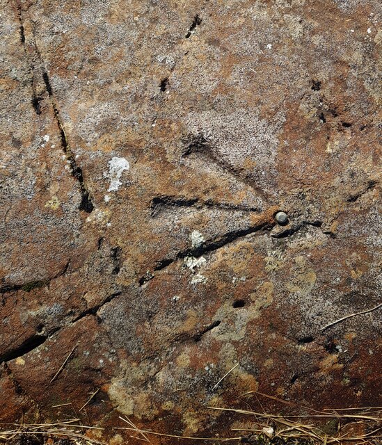
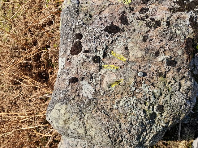
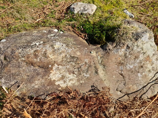
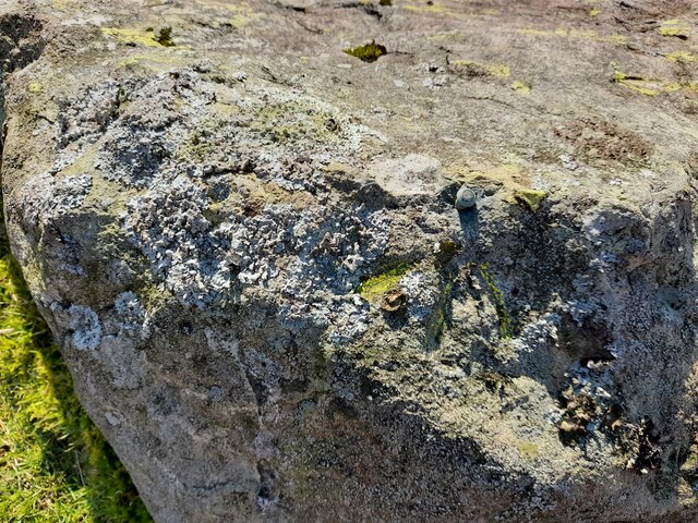
Additionally, Birk Fell is known for its connections to local folklore and legends. There are tales of a mysterious figure known as the "Birk Fell Man" who supposedly resides on the hill. These stories add an element of intrigue to the area and have contributed to its popularity among locals and tourists alike.
Overall, Birk Fell is a captivating hill in Lancashire, offering a blend of natural beauty, outdoor activities, and cultural significance. Whether it's for a leisurely stroll or a challenging hike, visitors are sure to be enchanted by the charm and majesty of this remarkable landscape.
If you have any feedback on the listing, please let us know in the comments section below.
Birk Fell Man Images
Images are sourced within 2km of 54.405747/-3.0874378 or Grid Reference NY2901. Thanks to Geograph Open Source API. All images are credited.

Birk Fell Man is located at Grid Ref: NY2901 (Lat: 54.405747, Lng: -3.0874378)
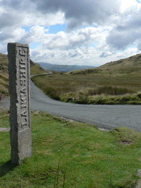
Administrative County: Cumbria
District: South Lakeland
Police Authority: Cumbria
Also known as: Birk Fell
What 3 Words
///migrate.factor.sparrows. Near Ambleside, Cumbria
Nearby Locations
Related Wikis

Wetherlam
Wetherlam (763 m) is a mountain in the English Lake District. It is the most northerly of the Coniston Fells, the range of fells to the north-west of Coniston...

Ting Mound
The Ting Mound or Thing Moot at Fellfoot Farm, Little Langdale, Cumbria, England is an Ancient Monument (a 'nationally important' archaeological site)...
Three Shire Stone (Lake District)
The Three Shire Stone is a boundary stone that marks the location where the historic English counties of Lancashire, Cumberland and Westmorland meet. The...

River Brathay
The Brathay is a river of north-west England. Its name comes from Old Norse and means broad river. It rises at a point 1289 feet (393 m) above sea level...

Slater's Bridge
Slater's Bridge is a traditional packhorse bridge in Little Langdale in the English Lake District, standing at National Grid Reference NY3120502996....

Wrynose Pass
The Wrynose Pass is a mountain pass in the Lake District National Park in Cumbria, England between the Duddon Valley and Little Langdale. == Etymology... ==

Holme Fell
Holme Fell or Holm Fell is a fell in the Lake District in Cumbria, England. It is located between Coniston Water and Little Langdale, almost isolated from...
Swirl How
Swirl How is a fell in the English Lake District. It stands between Coniston and the Duddon Valley in the southern part of the District. It rivals the...
Nearby Amenities
Located within 500m of 54.405747,-3.0874378Have you been to Birk Fell Man?
Leave your review of Birk Fell Man below (or comments, questions and feedback).