Birds' Rock

Hill, Mountain in Merionethshire

Wales

Birds' Rock

Tan-y-coed-isaf from the Talyllyn Railway
Tan-y-coed-isaf from the Talyllyn Railway Credit: Alpin Stewart

The requested URL returned error: 429 Too Many Requests

If you have any feedback on the listing, please let us know in the comments section below.
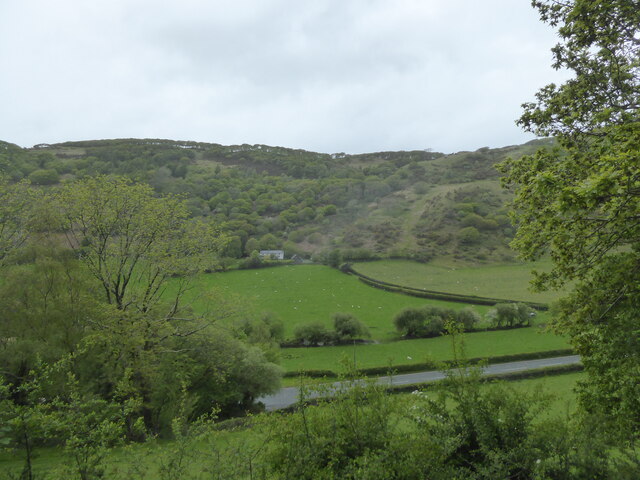
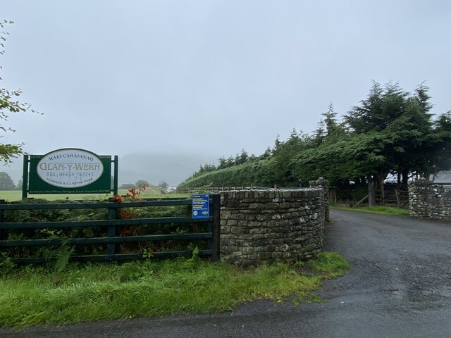
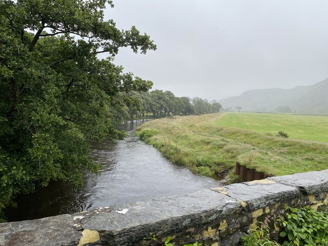
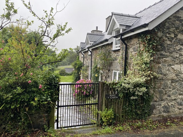
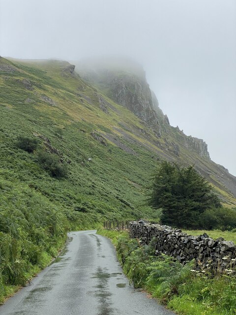
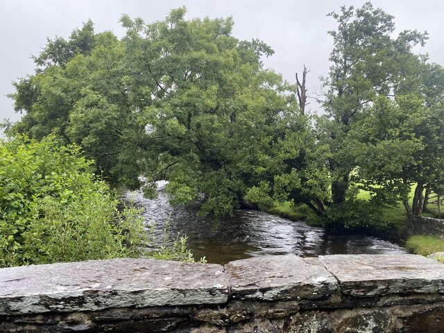
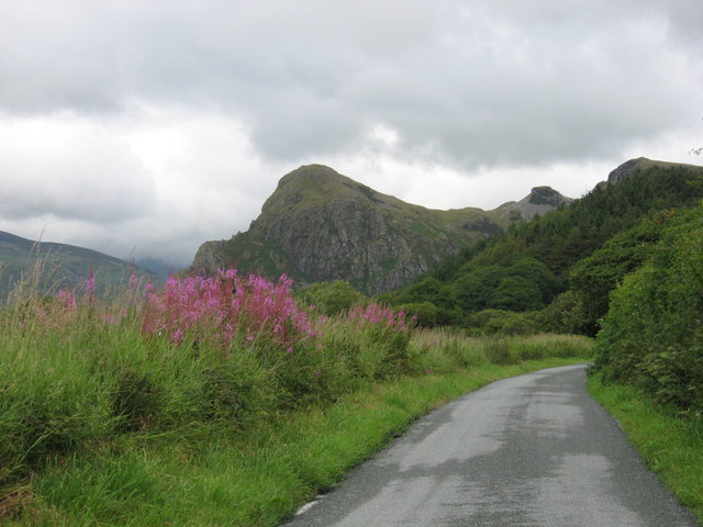
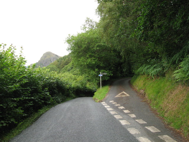
Birds' Rock Images

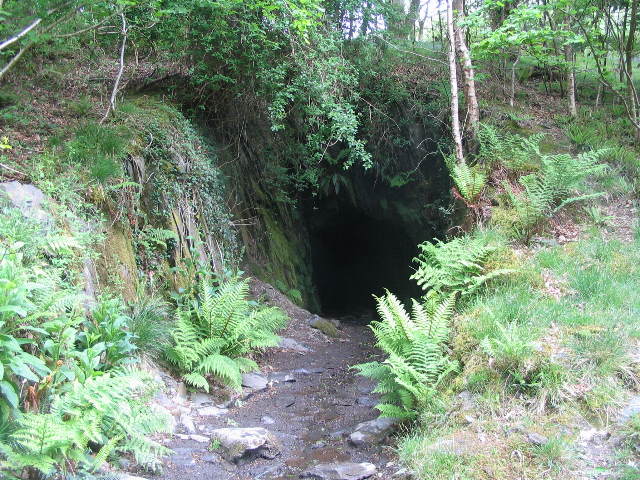
Images are sourced within 2km of 52.642565/-4.0060568 or Grid Reference SH6406. Thanks to Geograph Open Source API. All images are credited.

Tan-y-coed-isaf from the Talyllyn Railway
Fathew valley Looking south towards Dolgoch. The B4405 follows the valley floor.  The Talyllyn Railway forms the boundary between the fields and rough hillside on the opposite side of the valley.
Fathew valley
Looking south towards Dolgoch. The B4405 follows the valley floor. The Talyllyn Railway forms the boundary between the fields and rough hillside on the opposite side of the valley.
Woodland path, Tan-y-coed-uchaf
Glan y Wern Caravan Park
Afon Dysynni from Pont y Garth
Pont y Garth
Pont y Garth
Craig yr Aderyn shrouded in mist
Corrugated farm buildings near Wern
Ty’n y Ffordd Stone built cottage typical of the area.
Ty’n y Ffordd
Stone built cottage typical of the area.
Bend in Afon Dysynni
Ty’n y Bryn Farmhouse where Dr William Owen Pughe D.C.L.  (1759 - 1835),  Lexicographer and Educator, was born.

See also  <a href="https://www.geograph.org.uk/photo/7552295">SH6508 : Commemorative Plaque</a>.
Ty’n y Bryn
Farmhouse where Dr William Owen Pughe D.C.L. (1759 - 1835), Lexicographer and Educator, was born. See also SH6508 : Commemorative Plaque.
Commemorative Plaque Dr William Owen Pughe. See <a href="https://www.geograph.org.uk/photo/7552286">SH6508 : Ty’n y Bryn</a>.
Commemorative Plaque
Dr William Owen Pughe. See SH6508 : Ty’n y Bryn.
Bridge over Afon Dysynni
Afon Dysynni from Pont Ystumanner
Road along the Dysynnu valley
Tan-y-coed uchaf, viewed from Talyllyn Railway
View towards Birds' Rock, Dysynni Valley
Junction of narrow roads, Dysynni Valley
Show me another place!

Birds' Rock is located at Grid Ref: SH6406 (Lat: 52.642565, Lng: -4.0060568)

Unitary Authority: Gwynedd

Police Authority: North Wales

Also known as: Craig yr Aderyn

What 3 Words

///traps.wanted.schematic. Near Tywyn, Gwynedd

Related Wikis

Craig yr Aderyn

Craig yr Aderyn, also known as Bird's Rock, is a hill rising to a height of 258 metres (846 ft) above sea level on the south bank of the River Dysynni...

Abertrinant

Abertrinant is a small settlement in Gwynedd, Wales. It is 7 kilometres (4 mi) northeast of the town of Tywyn. == External links == www.geograph.co.uk...

Dolgoch railway station

Dolgoch railway station (also known as Dol-goch railway station, Dol-gôch railway station, or Dolgoch Falls railway station) is a station on the Talyllyn...

Dolgoch quarry, Gwynedd

Dolgoch slate quarry (also spelt Dol-goch slate quarry or Dol-gôch slate quarry) was a slate quarry in Mid Wales, approximately halfway between Bryn-crug...

Nearby Amenities

Located within 500m of 52.642565,-4.0060568
Source: npe
Lat/Long: 52.6466644/-4.0077902
Source: npe
Lat/Long: 52.6454299/-4.011026
Craig yr Aderyn
Ele: 258
Name Cy: Craig yr Aderyn
Name En: Bird Rock
Natural: peak
Wikidata: Q5181641
Lat/Long: 52.6424125/-4.0060616
Bench
Backrest: yes
Lat/Long: 52.6433076/-3.9992917
Information: board
Tourism: information
Lat/Long: 52.6431123/-4.0095565
The data included in this document is from www.openstreetmap.org. The data is made available under ODbL.

Have you been to Birds' Rock?

Leave your review of Birds' Rock below (or comments, questions and feedback).