Quarry Knowe
Hill, Mountain in Selkirkshire
Scotland
Quarry Knowe
Quarry Knowe is a prominent hill located in the Selkirkshire region of Scotland. Situated approximately 3 miles north of the town of Selkirk, this hill is an important landmark in the area. Standing at an elevation of 1,368 feet (417 meters), Quarry Knowe offers stunning panoramic views of the surrounding countryside.
The hill is known for its distinctive conical shape, which is a result of its geological formation. It is composed of sedimentary rocks, mainly sandstone and shale. Quarry Knowe was historically used as a source of building materials, and evidence of quarrying activities can still be seen on its slopes.
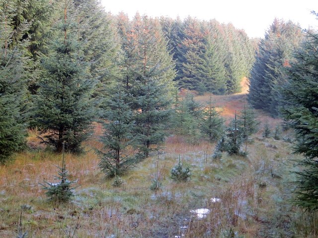
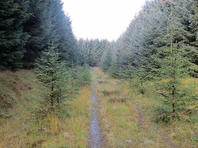
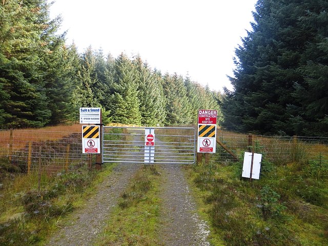
The hill is covered in heather and grass, making it a popular destination for hikers and nature enthusiasts. There are several well-defined paths leading to the summit, providing relatively easy access for visitors. The ascent is rewarded with breathtaking vistas of the rolling hills, lush valleys, and meandering rivers that characterize the Selkirkshire landscape.
Quarry Knowe is also home to a diverse range of flora and fauna. Birdwatchers can spot various species, including red grouse, skylarks, and peregrine falcons. The hill is also inhabited by rabbits, hares, and deer, adding to the natural beauty and wildlife diversity of the area.
Overall, Quarry Knowe is a picturesque hill offering visitors a chance to immerse themselves in the stunning Scottish countryside. With its accessibility, natural wonders, and scenic views, it is a must-visit destination for outdoor enthusiasts and nature lovers alike.
If you have any feedback on the listing, please let us know in the comments section below.
Quarry Knowe Images
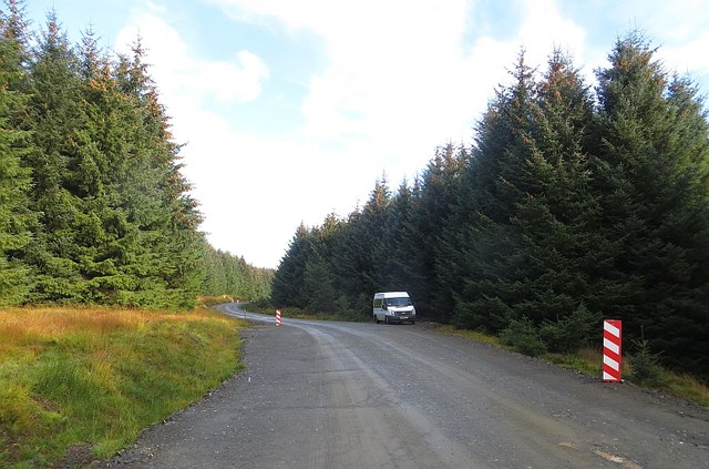
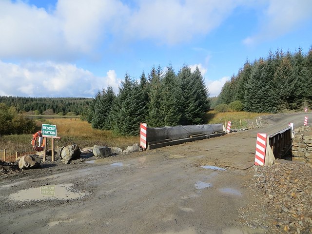
Images are sourced within 2km of 55.460275/-2.9425194 or Grid Reference NT4018. Thanks to Geograph Open Source API. All images are credited.


Quarry Knowe is located at Grid Ref: NT4018 (Lat: 55.460275, Lng: -2.9425194)
Unitary Authority: The Scottish Borders
Police Authority: The Lothians and Scottish Borders
What 3 Words
///warrior.myth.informer. Near Hawick, Scottish Borders
Nearby Locations
Related Wikis

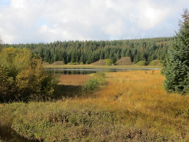
Alemoor Loch
Alemoor Loch, also known as Alemoor Reservoir, is a small reservoir in the Scottish Borders area of Scotland. It is situated on the Ale Water, 10 kilometres...

Roberton, Scottish Borders
Roberton is a small village in the Scottish Borders area of Scotland, on the B711 and near to the A7, 5 miles (8 kilometres) from Hawick, 22 mi (35 km...

Ettrickbridge
Ettrickbridge (Scottish Gaelic: Drochaid Eadaraig) is a village situated in the Scottish Borders region of Scotland, 7 miles (11 km) from the nearby town...

Selkirkshire
Selkirkshire or the County of Selkirk (Scottish Gaelic: Siorrachd Shalcraig) is a historic county and registration county of Scotland. It borders Peeblesshire...
Nearby Amenities
Located within 500m of 55.460275,-2.9425194Have you been to Quarry Knowe?
Leave your review of Quarry Knowe below (or comments, questions and feedback).