Sale Fell
Hill, Mountain in Cumberland Allerdale
England
Sale Fell
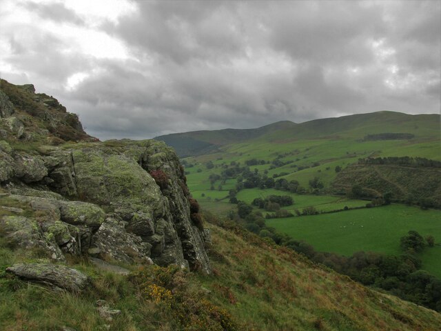
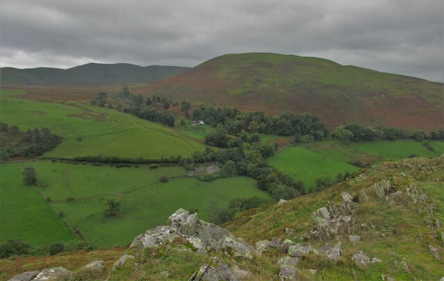
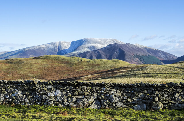
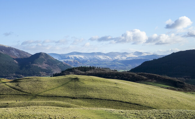
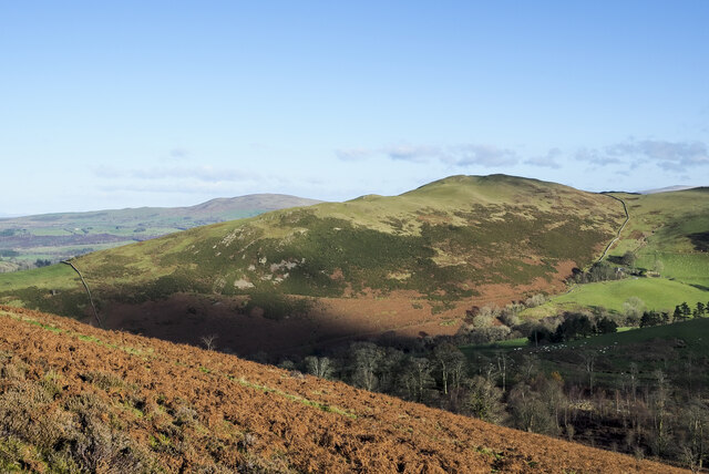
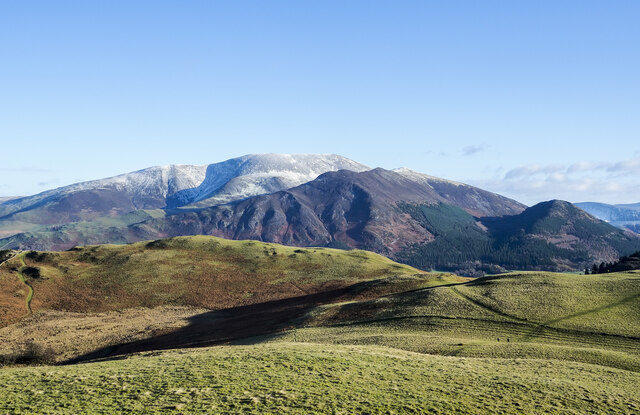
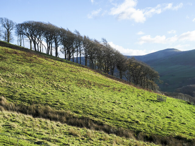
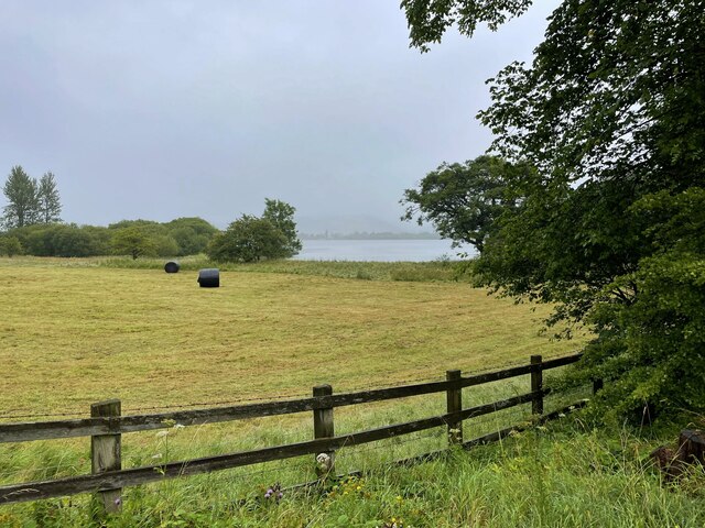
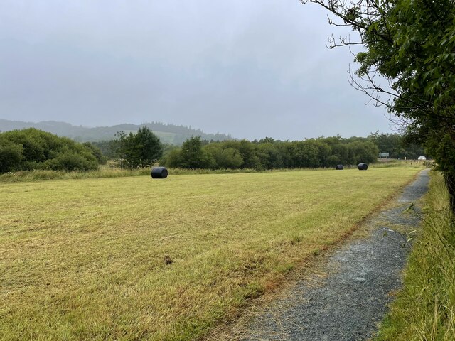
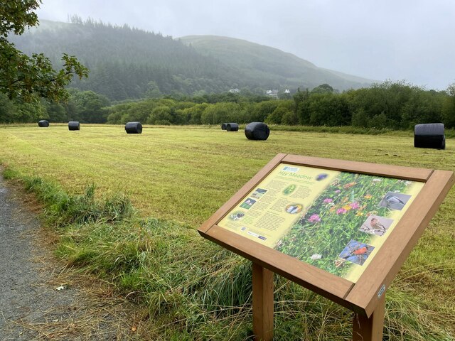
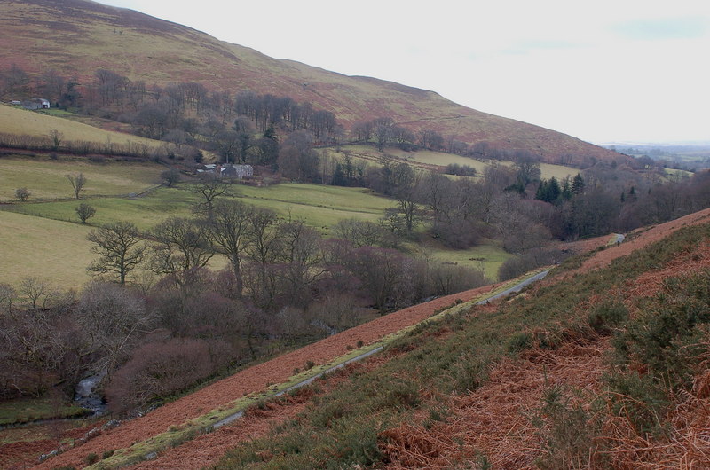
Sale Fell is a picturesque hill located in the county of Cumberland, in the northwestern region of England. Standing at an elevation of 359 meters (1,178 feet), it is classified as a hill rather than a mountain. Despite its relatively modest height, Sale Fell offers breathtaking panoramic views of the surrounding countryside and the nearby Bassenthwaite Lake, making it a popular destination for nature enthusiasts and hikers alike.
The hill is known for its distinctive shape, with a prominent summit that provides a vantage point for taking in the stunning vistas. The terrain is a mix of open grassy slopes and woodland, creating a diverse and scenic landscape. The summit is adorned with a trig point, a concrete pillar used in surveying, which adds to the charm of the area.
There are several walking routes that lead to the top of Sale Fell, varying in difficulty and length, allowing visitors of all abilities to enjoy the natural beauty of the area. The hill is also home to a variety of wildlife, including birds such as buzzards and kestrels, as well as red squirrels and roe deer.
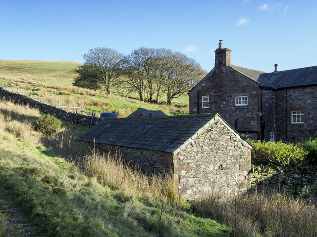
The nearby village of Wythop Mill provides a starting point for many of these walks, with a car park available for visitors. The tranquil and peaceful atmosphere of Sale Fell, combined with its stunning views and accessible trails, make it a beloved destination for those seeking a scenic escape in the heart of the Lake District.
If you have any feedback on the listing, please let us know in the comments section below.
Sale Fell Images
Images are sourced within 2km of 54.655617/-3.2501328 or Grid Reference NY1929. Thanks to Geograph Open Source API. All images are credited.

Sale Fell is located at Grid Ref: NY1929 (Lat: 54.655617, Lng: -3.2501328)
Administrative County: Cumbria
District: Allerdale
Police Authority: Cumbria
What 3 Words
///multiple.backyards.melts. Near Cockermouth, Cumbria
Nearby Locations
Related Wikis

Sale Fell
Sale Fell is a small hill near Cockermouth in the English Lake District. It is popular with locals, as it offers gentle walking and lovely views across...

Routenbeck
Routenbeck is a hamlet in Cumbria, England. It is located at the northern foot of Sale Fell, near the north-west edge of Bassenthwaite Lake. Routenbeck...

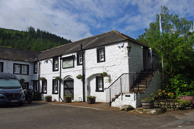
Pheasant Inn, Bassenthwaite
The Pheasant Inn is a public house at The Pheasant Inn, Bassenthwaite, Cumbria CA13 9YE. It is Grade II listed.It is on the Campaign for Real Ale's National...
Wythop
Wythop is a civil parish in the north of Cumbria, England, between Cockermouth and Keswick. Population details are no longer maintained and can be found...
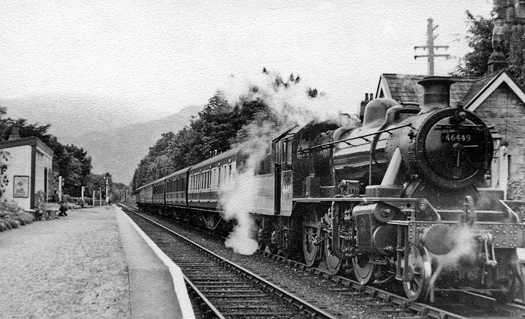
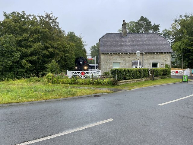
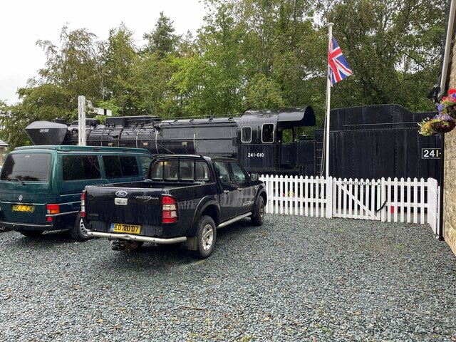
Bassenthwaite Lake railway station
Bassenthwaite Lake railway station was situated on the Cockermouth, Keswick and Penrith Railway between Penrith and Cockermouth in Cumbria, England. The...

Dubwath
Dubwath is a hamlet in the Allerdale district, in Cumbria, England. It is part of the parish of Setmurthy. The population of this civil parish taken at...

Ling Fell
Ling Fell is a small hill in the north west of the Lake District in the United Kingdom. It is close to the village of Wythop Mill, from where it can easily...

Bassenthwaite Lake
Bassenthwaite Lake is a body of water in the Lake District in North West England, near the town of Keswick. It has an area of 5.3 km2 (2.0 sq mi), making...
Nearby Amenities
Located within 500m of 54.655617,-3.2501328Have you been to Sale Fell?
Leave your review of Sale Fell below (or comments, questions and feedback).