Chapel Wood
Wood, Forest in Cumberland Allerdale
England
Chapel Wood
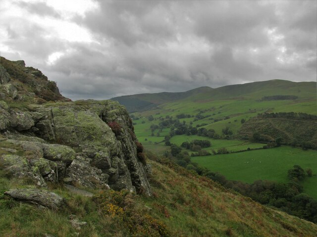
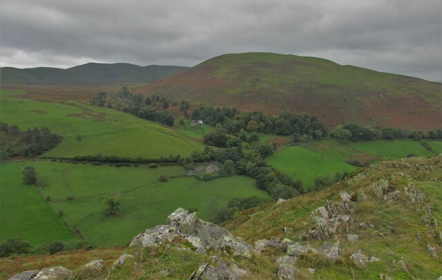
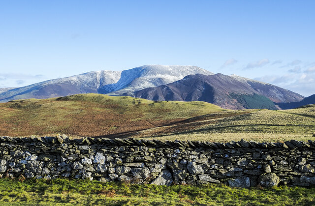
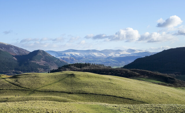
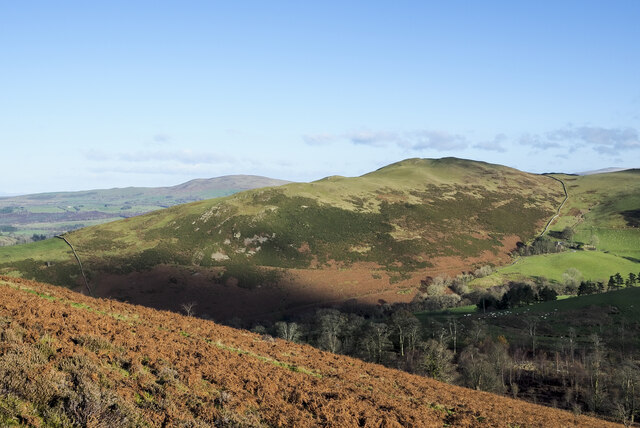
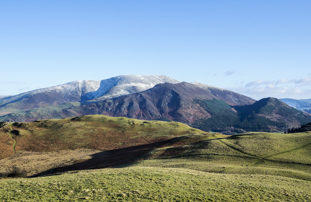
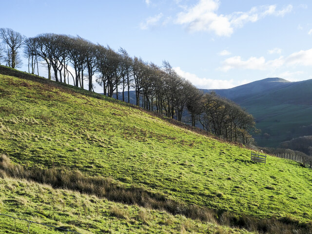
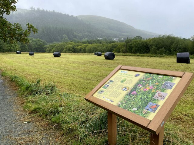
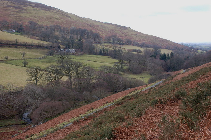
Chapel Wood is a picturesque forest located in Cumberland County, England. Spanning over a vast area, the wood is renowned for its natural beauty and serene atmosphere. It is nestled amidst rolling hills and is bordered by quaint villages, making it a popular destination for nature lovers and outdoor enthusiasts.
The wood is predominantly composed of a variety of native trees, including oak, beech, and ash, which create a vibrant and diverse ecosystem. The dense foliage provides ample shade during the summer months, making it an ideal spot for picnics or leisurely walks. Additionally, the forest floor is adorned with a plethora of wildflowers and moss, adding to its enchanting appeal.
Chapel Wood is intersected by several well-maintained walking trails, allowing visitors to explore its depths and discover its hidden treasures. The paths wind through ancient trees and lead to picturesque clearings, where one can often spot wildlife such as deer, rabbits, and a variety of bird species. The tranquil ambiance and abundance of natural beauty make it a favorite spot for birdwatchers and photographers alike.
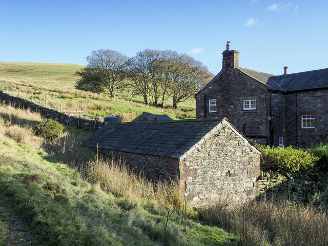
Within the wood, there is a small chapel dating back to the 17th century, from which the forest derives its name. The chapel, though in ruins, adds an element of historical charm to the area and serves as a reminder of the wood's rich heritage.
Chapel Wood, with its stunning landscapes and peaceful atmosphere, offers a tranquil escape from the bustling city life, making it a must-visit destination for those seeking solace in nature.
If you have any feedback on the listing, please let us know in the comments section below.
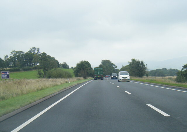
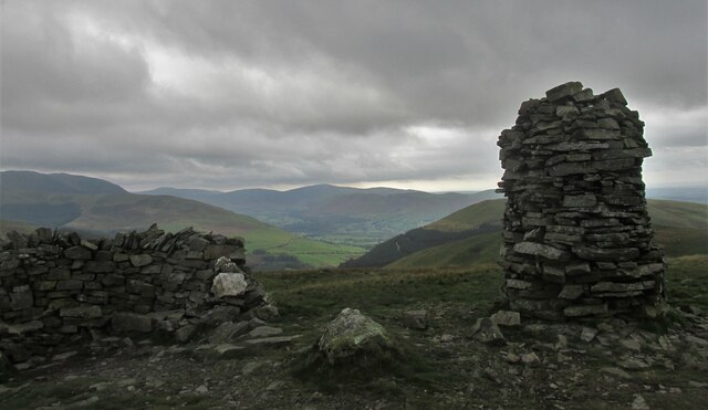
Chapel Wood Images
Images are sourced within 2km of 54.650969/-3.2458984 or Grid Reference NY1929. Thanks to Geograph Open Source API. All images are credited.

Chapel Wood is located at Grid Ref: NY1929 (Lat: 54.650969, Lng: -3.2458984)
Administrative County: Cumbria
District: Allerdale
Police Authority: Cumbria
What 3 Words
///objective.printing.automate. Near Cockermouth, Cumbria
Nearby Locations
Related Wikis

Sale Fell
Sale Fell is a small hill near Cockermouth in the English Lake District. It is popular with locals, as it offers gentle walking and lovely views across...

Routenbeck
Routenbeck is a hamlet in Cumbria, England. It is located at the northern foot of Sale Fell, near the north-west edge of Bassenthwaite Lake. Routenbeck...
Wythop
Wythop is a civil parish in the north of Cumbria, England, between Cockermouth and Keswick. Population details are no longer maintained and can be found...

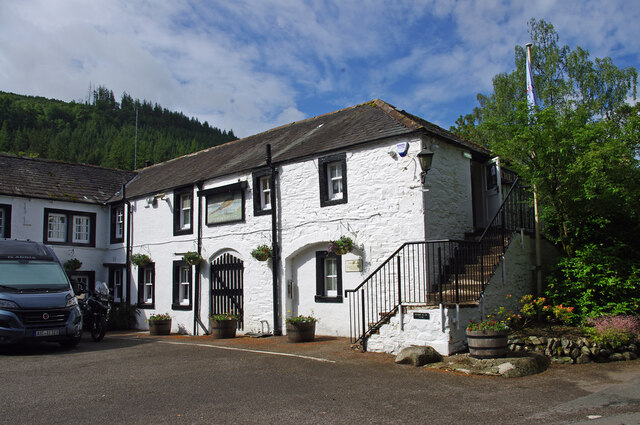
Pheasant Inn, Bassenthwaite
The Pheasant Inn is a public house at The Pheasant Inn, Bassenthwaite, Cumbria CA13 9YE. It is Grade II listed.It is on the Campaign for Real Ale's National...

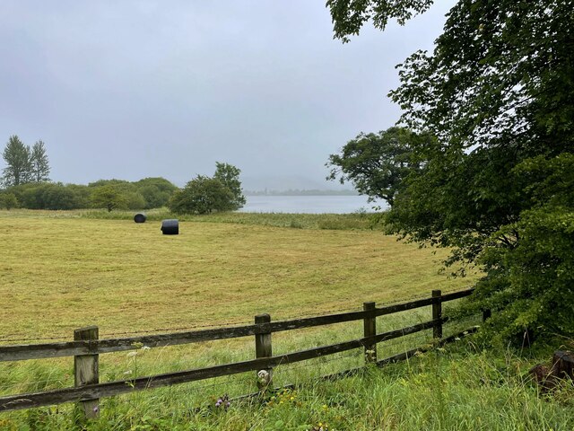
Bassenthwaite Lake
Bassenthwaite Lake is a body of water in the Lake District in North West England, near the town of Keswick. It has an area of 5.3 km2 (2.0 sq mi), making...
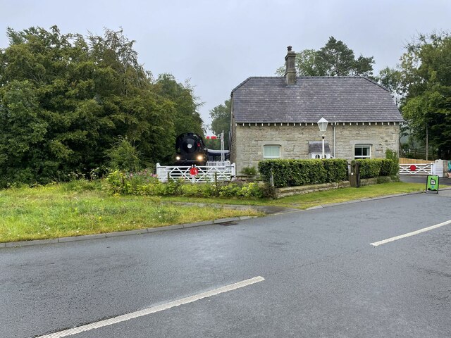
Bassenthwaite Lake railway station
Bassenthwaite Lake railway station was situated on the Cockermouth, Keswick and Penrith Railway between Penrith and Cockermouth in Cumbria, England. The...

Ling Fell
Ling Fell is a small hill in the north west of the Lake District in the United Kingdom. It is close to the village of Wythop Mill, from where it can easily...

Dubwath
Dubwath is a hamlet in the Allerdale district, in Cumbria, England. It is part of the parish of Setmurthy. The population of this civil parish taken at...
Nearby Amenities
Located within 500m of 54.650969,-3.2458984Have you been to Chapel Wood?
Leave your review of Chapel Wood below (or comments, questions and feedback).