Rivings
Hill, Mountain in Cumberland Allerdale
England
Rivings
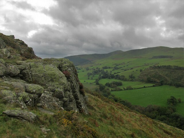
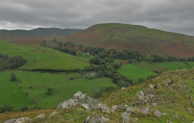
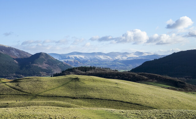
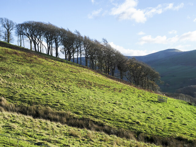
Rivings is a picturesque hill located in Cumberland, a county in the northwest region of England. Standing at an elevation of approximately 500 meters, it is classified as a mountain by local standards. The hill is well-known for its stunning natural beauty, making it a popular destination for outdoor enthusiasts and nature lovers alike.
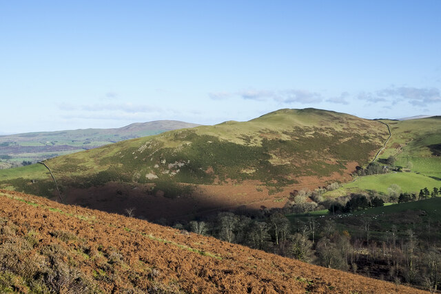
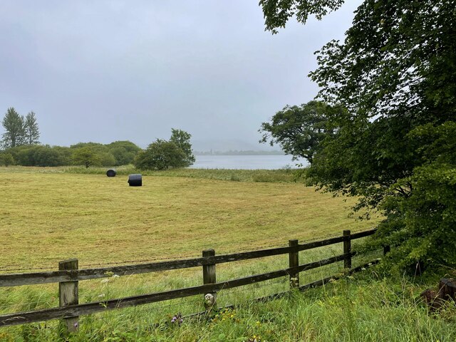
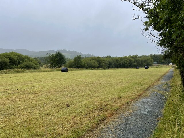
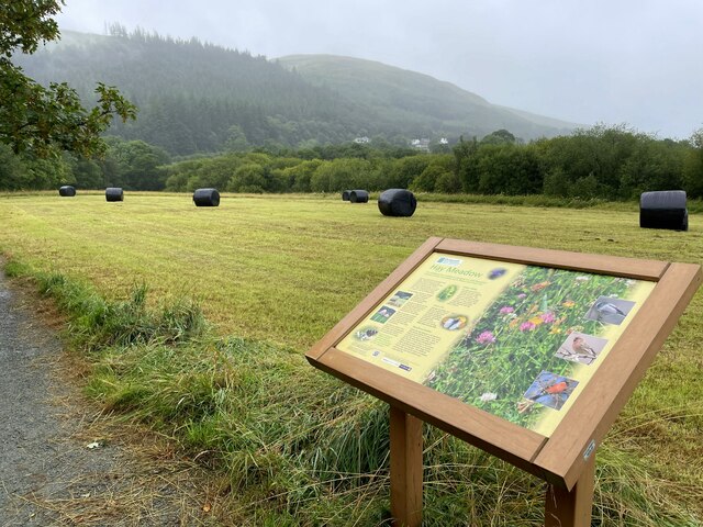
Rivings boasts a diverse range of flora and fauna, with its slopes covered in lush greenery and dotted with vibrant wildflowers during the warmer months. The hill is home to a variety of wildlife, including rabbits, foxes, and numerous bird species, providing ample opportunities for wildlife spotting and birdwatching.
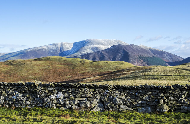
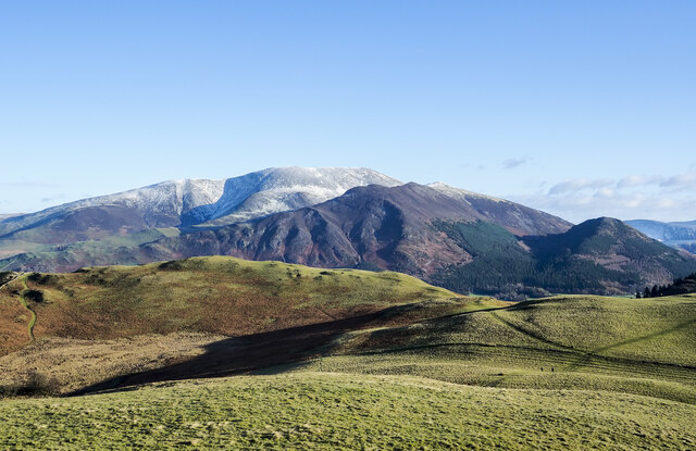
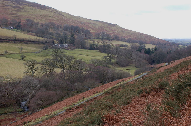
The hill offers breathtaking panoramic views of the surrounding countryside, including the nearby valleys, rivers, and distant mountains. On a clear day, visitors can even catch a glimpse of the famous Lake District, a UNESCO World Heritage Site renowned for its stunning lakes and rugged landscapes.
Rivings is a haven for hikers and climbers, with a network of well-maintained trails and paths that cater to all skill levels. The hill's diverse terrain provides a range of hiking experiences, from gentle strolls along its lower slopes to more challenging ascents for the experienced adventurer.
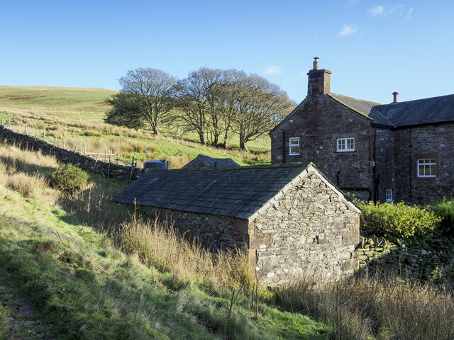
For those seeking a tranquil escape from the hustle and bustle of city life, Rivings offers a serene and peaceful setting. Its remote location and unspoiled beauty make it an ideal spot for picnicking, photography, or simply taking a moment to appreciate the wonders of nature.
In conclusion, Rivings in Cumberland is a stunning hill/mountain that offers a wealth of natural beauty, recreational opportunities, and a chance to immerse oneself in the peacefulness of the countryside.
If you have any feedback on the listing, please let us know in the comments section below.
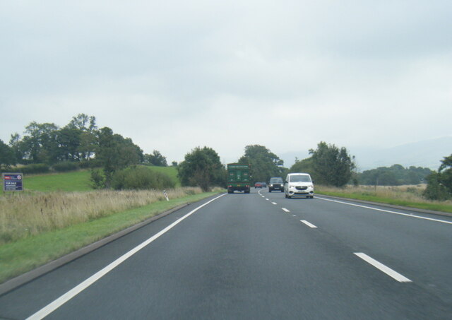
Rivings Images
Images are sourced within 2km of 54.653634/-3.2446469 or Grid Reference NY1929. Thanks to Geograph Open Source API. All images are credited.

Rivings is located at Grid Ref: NY1929 (Lat: 54.653634, Lng: -3.2446469)
Administrative County: Cumbria
District: Allerdale
Police Authority: Cumbria
What 3 Words
///alcove.pressing.fabricate. Near Cockermouth, Cumbria
Nearby Locations
Related Wikis

Sale Fell
Sale Fell is a small hill near Cockermouth in the English Lake District. It is popular with locals, as it offers gentle walking and lovely views across...

Routenbeck
Routenbeck is a hamlet in Cumbria, England. It is located at the northern foot of Sale Fell, near the north-west edge of Bassenthwaite Lake. Routenbeck...

Pheasant Inn, Bassenthwaite
The Pheasant Inn is a public house at The Pheasant Inn, Bassenthwaite, Cumbria CA13 9YE. It is Grade II listed.It is on the Campaign for Real Ale's National...
Wythop
Wythop is a civil parish in the north of Cumbria, England, between Cockermouth and Keswick. Population details are no longer maintained and can be found...
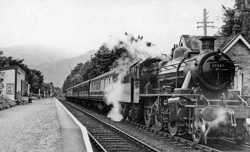
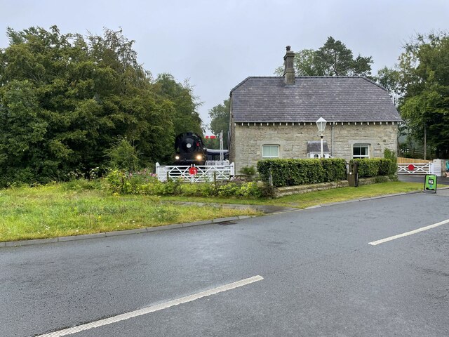
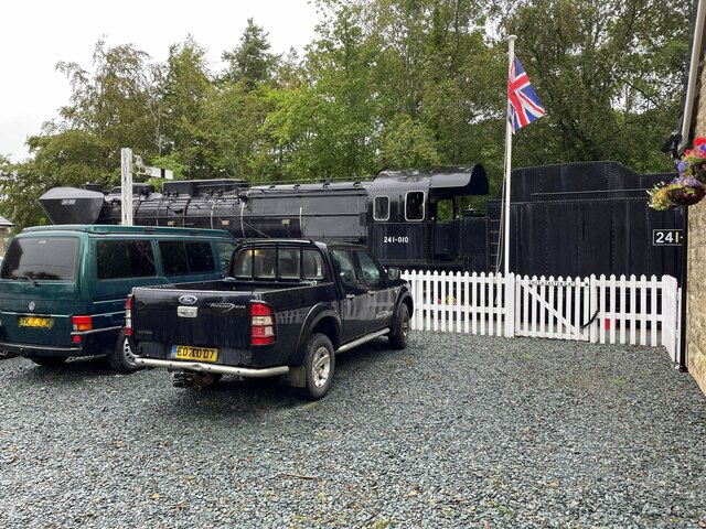
Bassenthwaite Lake railway station
Bassenthwaite Lake railway station was situated on the Cockermouth, Keswick and Penrith Railway between Penrith and Cockermouth in Cumbria, England. The...

Dubwath
Dubwath is a hamlet in the Allerdale district, in Cumbria, England. It is part of the parish of Setmurthy. The population of this civil parish taken at...

Bassenthwaite Lake
Bassenthwaite Lake is a body of water in the Lake District in North West England, near the town of Keswick. It has an area of 5.3 km2 (2.0 sq mi), making...

Ling Fell
Ling Fell is a small hill in the north west of the Lake District in the United Kingdom. It is close to the village of Wythop Mill, from where it can easily...
Nearby Amenities
Located within 500m of 54.653634,-3.2446469Have you been to Rivings?
Leave your review of Rivings below (or comments, questions and feedback).