Greenside Law

Hill, Mountain in Peeblesshire

Scotland

Greenside Law

Moorland on Greenside Law Looking towards Bitch Craig and Manor Water valley.
Moorland on Greenside Law Credit: wrobison

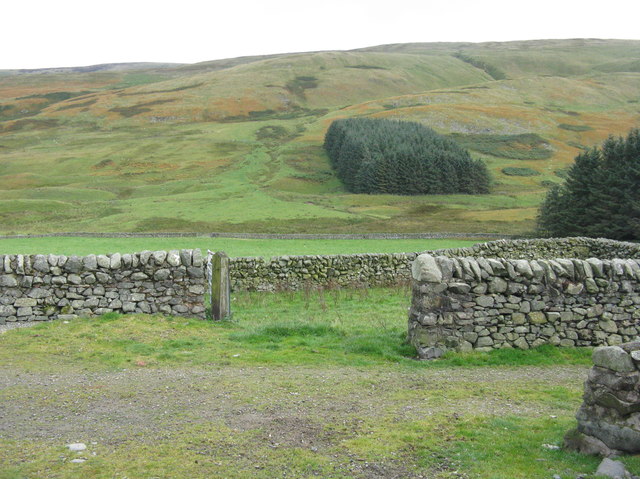
Greenside Law is a prominent hill located in Peeblesshire, a historic county in the Scottish Borders region of Scotland. With an elevation of approximately 646 meters (2,119 feet), it is often referred to as a mountain due to its height and rugged terrain.

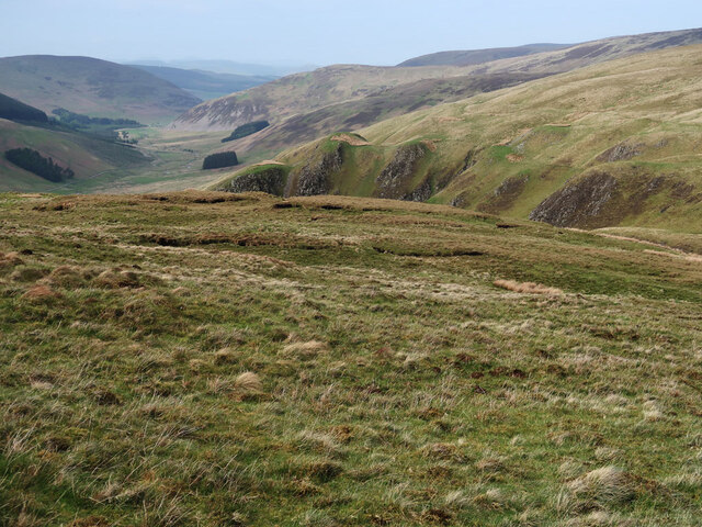
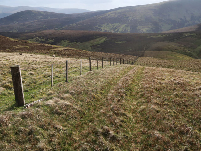
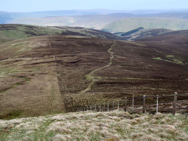
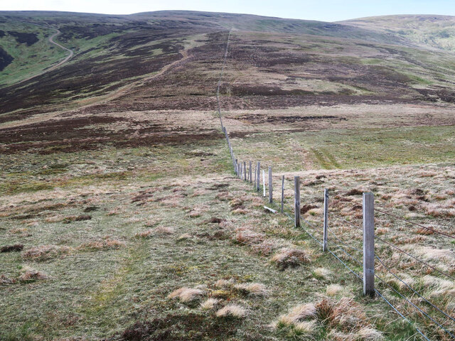
Situated in the Southern Uplands, Greenside Law boasts breathtaking panoramic views of the surrounding landscape. Its location near the town of Peebles makes it easily accessible for outdoor enthusiasts and hikers seeking to explore the natural beauty of the area.

The hill is covered in heather and grasses, providing a diverse habitat for various flora and fauna. It is home to a range of plant species, including wildflowers, mosses, and lichens. Birdwatchers can spot several species of birds, such as buzzards, kestrels, and grouse, soaring through the skies above.

The slopes of Greenside Law offer a challenging yet rewarding climb for avid hikers and mountaineers. Its steep gradients and rocky terrain provide an adventurous experience for those seeking a physical and mental challenge. The summit rewards visitors with breathtaking vistas, allowing them to admire the picturesque valleys, rolling hills, and distant mountains that characterize the Scottish Borders region.

Greenside Law is a popular destination for nature lovers, photographers, and outdoor enthusiasts, attracting visitors throughout the year. Its close proximity to Peeblesshire's other natural attractions, historical sites, and charming towns make it an ideal location for those seeking a memorable and invigorating experience in the Scottish countryside.

If you have any feedback on the listing, please let us know in the comments section below.

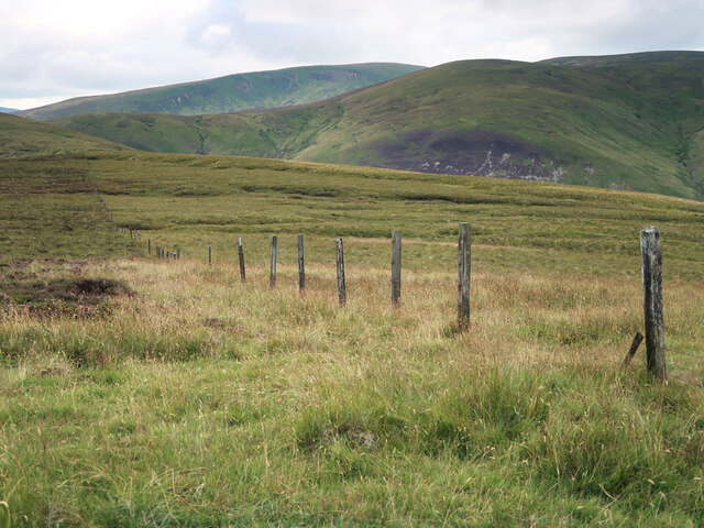
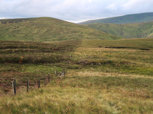
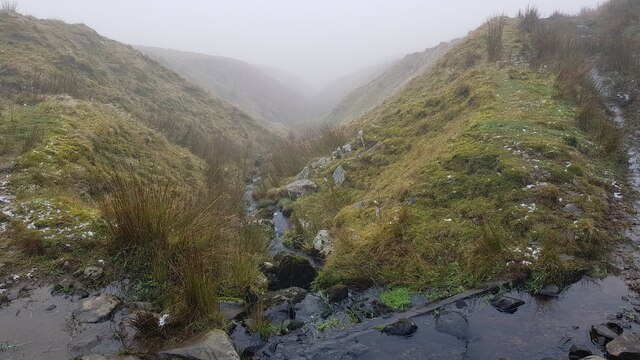
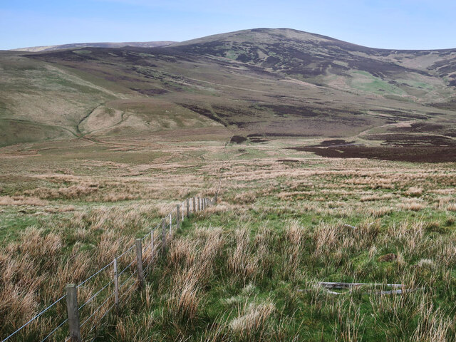
Greenside Law Images

Images are sourced within 2km of 55.517719/-3.2718309 or Grid Reference NT1925. Thanks to Geograph Open Source API. All images are credited.

Moorland on Greenside Law Looking towards Bitch Craig and Manor Water valley.
Moorland on Greenside Law
Looking towards Bitch Craig and Manor Water valley.
Fence on Greenside Law Descending to Water Head.
Fence on Greenside Law
Descending to Water Head.
Fence and moorland on Notman Law Grassy moorland on the left of the fence and heather moorland with the Thief's Road on the right.
Fence and moorland on Notman Law
Grassy moorland on the left of the fence and heather moorland with the Thief's Road on the right.
Fence and moorland on Notman Law Looking towards Fifescar Knowe.
Fence and moorland on Notman Law
Looking towards Fifescar Knowe.
Track beside the Cramalt Burn On the east side of Cramalt Craig.
Track beside the Cramalt Burn
On the east side of Cramalt Craig.
Old fence on Redsike Head No longer intact but still marking the change from heather moorland on the left to grassy moorland on the right, see <a href="https://www.geograph.org.uk/photo/6194886">NT2027 : Fence west of Black Law</a> and <a href="https://www.geograph.org.uk/photo/3518363">NT2027 : The western ridge of Black Law</a> for other views.
Old fence on Redsike Head
No longer intact but still marking the change from heather moorland on the left to grassy moorland on the right, see NT2027 : Fence west of Black Law and NT2027 : The western ridge of Black Law for other views.
A typical Border Cleuch. A Border Cleuch, (pronounced clooch, as in loch), is a steep sided ravine and is a common feature of the Border hills. They can be quite deep and dangerous, especially in mist and after heavy rain. This one carries the Thrashie Burn, a very minor tributary of the Manor Water.
A typical Border Cleuch.
A Border Cleuch, (pronounced clooch, as in loch), is a steep sided ravine and is a common feature of the Border hills. They can be quite deep and dangerous, especially in mist and after heavy rain. This one carries the Thrashie Burn, a very minor tributary of the Manor Water.
Moorland fence on Foulbrig Looking towards Black Law.
Moorland fence on Foulbrig
Looking towards Black Law.
Red Sike from Manorhead The head of the Manor Valley.
Red Sike from Manorhead
The head of the Manor Valley.
The head of the Manor Valley The valley ends with a half-ring of 600-800m hilltops - Redsike Head, Greenside Law, Water Head, Notman Law and Fifescar Knowe.
The head of the Manor Valley
The valley ends with a half-ring of 600-800m hilltops - Redsike Head, Greenside Law, Water Head, Notman Law and Fifescar Knowe.
Manor Valley from Manorhead farm The track beyond the farm leads to the rough pasture and grazing grounds of the hill sheep. The shelter belt is on Greenside Law.
Manor Valley from Manorhead farm
The track beyond the farm leads to the rough pasture and grazing grounds of the hill sheep. The shelter belt is on Greenside Law.
Manor Head The encircling steep slopes at the head of the Manor Valley.
Manor Head
The encircling steep slopes at the head of the Manor Valley.
Bitch Craig, Manor Valley The skyline of this steep cleuch is dramatically different from the gently rounded hills hereabouts. The top of Bitch Craig itself is to the left.
Bitch Craig, Manor Valley
The skyline of this steep cleuch is dramatically different from the gently rounded hills hereabouts. The top of Bitch Craig itself is to the left.
Barn, Manor Head The head of the valley supports a flock of hill sheep.
Barn, Manor Head
The head of the valley supports a flock of hill sheep.
Barn, Manor Head (2) A view down the valley from the barn near the shelter belt at White Cleuch.
Barn, Manor Head (2)
A view down the valley from the barn near the shelter belt at White Cleuch.
Scree and grass, upper Manor Valley Large blocky scree on the side of Greenside Law.
Scree and grass, upper Manor Valley
Large blocky scree on the side of Greenside Law.
Small sidestream, Manor Head A tiny tributary of the Manor Water in the upper part of the valley.
Small sidestream, Manor Head
A tiny tributary of the Manor Water in the upper part of the valley.
Show me another place!

Greenside Law is located at Grid Ref: NT1925 (Lat: 55.517719, Lng: -3.2718309)

Unitary Authority: The Scottish Borders

Police Authority: The Lothians and Scottish Borders

What 3 Words

///defenders.pave.habits. Near Ettrick, Scottish Borders

Related Wikis

Craigierig

Craigierig is a village on the Megget Reservoir, in the Scottish Borders area of Scotland, in the former Selkirkshire. Places nearby include the Glengaber...

Black Law (hill)

Black Law is a hill in the Manor Hills range, part of the Southern Uplands of Scotland. One of the more remote Donalds, it does not easily combine into...

Megget

Megget is a former chapelry or parish containing the valley of Megget Water, now forming the westernmost part of the parish of Yarrow, Selkirkshire in...

Megget Reservoir

Megget Reservoir is an impounding reservoir in the Megget valley in Ettrick Forest, in the Scottish Borders. The 259 hectares (640 acres) reservoir is...

Have you been to Greenside Law?

Leave your review of Greenside Law below (or comments, questions and feedback).