Park Hill
Hill, Mountain in Cumberland Allerdale
England
Park Hill
Park Hill is a prominent hill located in the Cumberland region of the United States. Situated in the town of Cumberland, it is part of the larger range known as the Appalachian Mountains. Rising to an elevation of approximately 1,000 feet, Park Hill offers breathtaking panoramic views of the surrounding landscape.
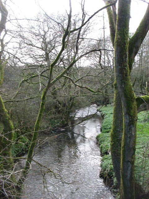
The hill is surrounded by lush greenery, with trees such as oak, maple, and pine covering its slopes. These trees provide a picturesque backdrop and create a serene atmosphere for visitors to enjoy. Park Hill is home to a diverse range of wildlife, including deer, squirrels, and various bird species, making it a popular spot for nature enthusiasts and wildlife photographers.
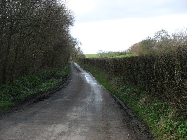
Accessible via well-maintained hiking trails, Park Hill offers numerous opportunities for outdoor activities. Hikers and nature lovers can explore the trails, immersing themselves in the natural beauty of the area, while avid photographers can capture the stunning vistas from various vantage points along the hill.
The hill is also a favorite destination for picnickers, providing ample space for families and friends to gather and enjoy a relaxing day amidst nature. Its elevated position and well-manicured picnic areas make it an ideal location to unwind and appreciate the scenic surroundings.
Park Hill holds historical significance as well, with traces of Native American settlements dating back centuries. Archaeological artifacts have been discovered in the vicinity, shedding light on the rich cultural heritage of the region.
Overall, Park Hill in Cumberland is a captivating destination, offering a harmonious blend of natural beauty, recreational opportunities, and historical importance. Its awe-inspiring views and tranquil ambiance make it a must-visit location for anyone seeking to connect with nature and explore the wonders of Cumberland.
If you have any feedback on the listing, please let us know in the comments section below.
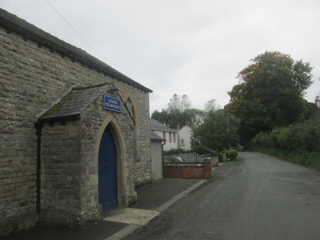
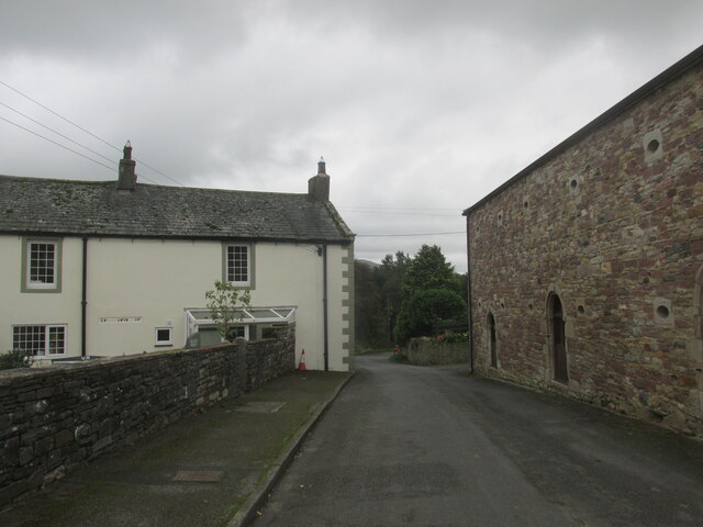
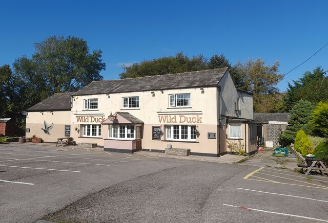
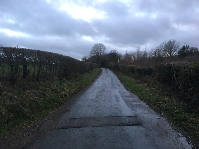
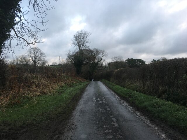
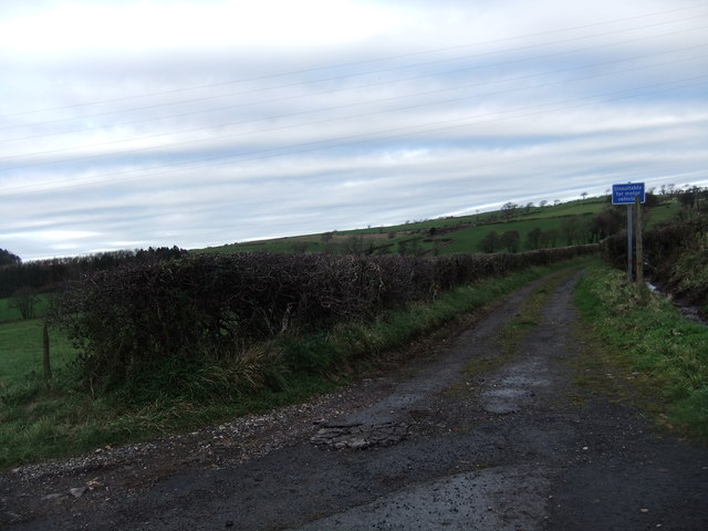
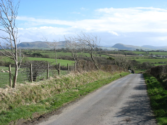
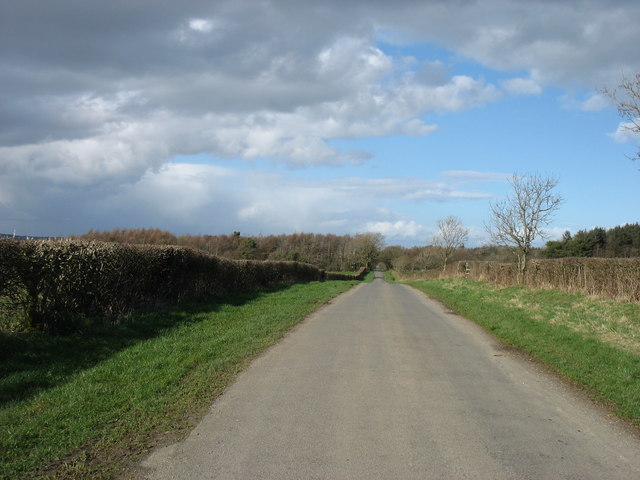
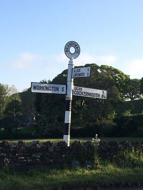
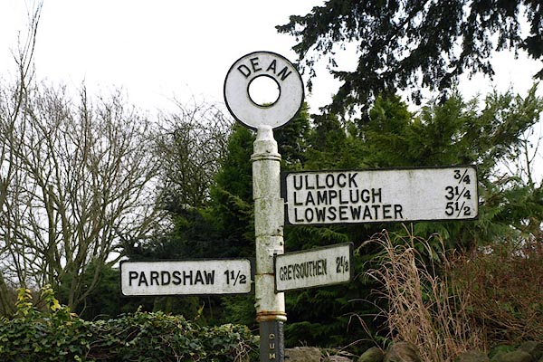
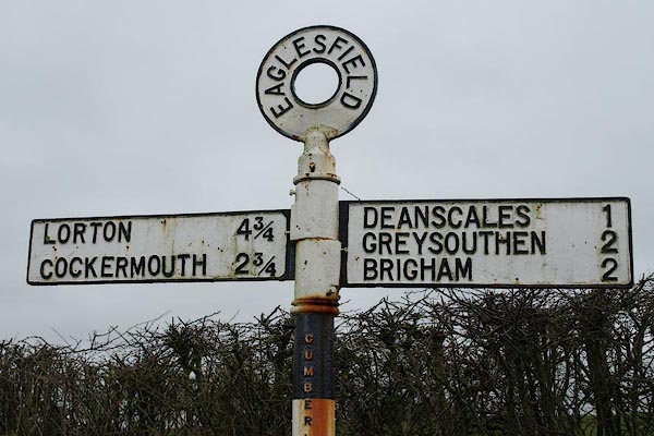
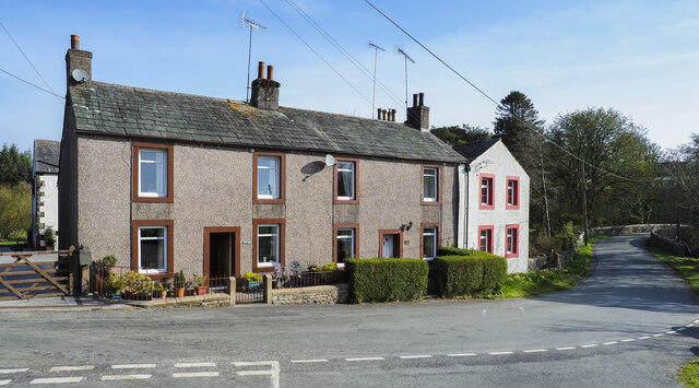
Park Hill Images
Images are sourced within 2km of 54.613629/-3.4371141 or Grid Reference NY0725. Thanks to Geograph Open Source API. All images are credited.
Park Hill is located at Grid Ref: NY0725 (Lat: 54.613629, Lng: -3.4371141)
Administrative County: Cumbria
District: Allerdale
Police Authority: Cumbria
What 3 Words
///delay.weeps.rail. Near Distington, Cumbria
Nearby Locations
Related Wikis
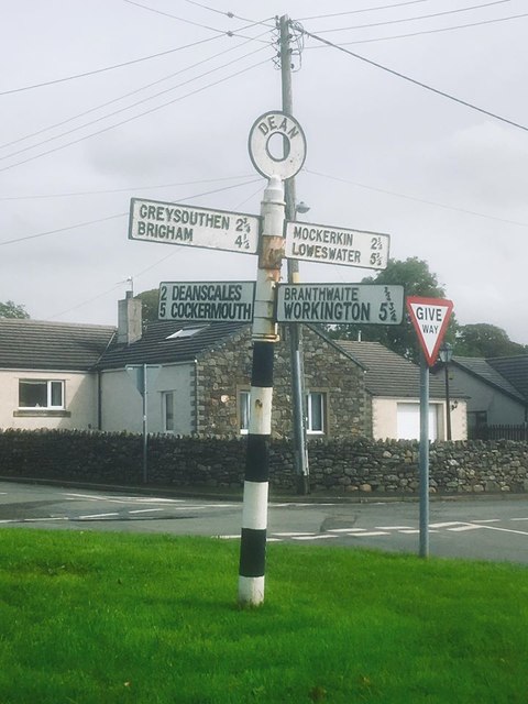
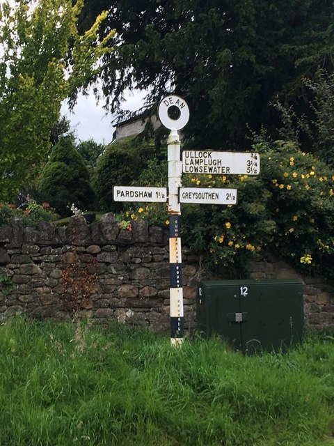
Dean, Cumbria
Dean is a village and civil parish in the county of Cumbria, England. Dean has a Church of England school, a church called St Oswald's. Nearby settlements...
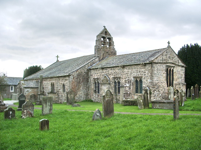
St Oswald's Church, Dean
St Oswald's Church is in the village of Dean, Cumbria, England. It is an active Anglican parish church in the deanery of Derwent, the archdeaconry of...
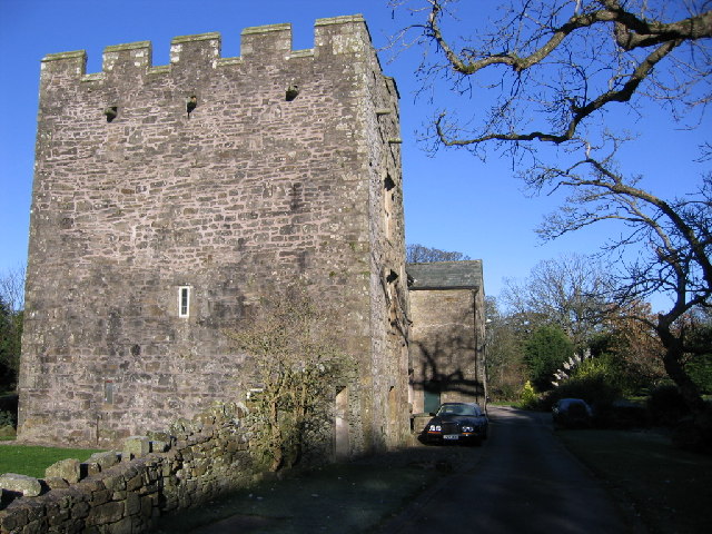
Branthwaite Hall
Branthwaite Hall is pele tower in Cumbria, England, considered by historian Anthony Emery to be "one of the best-preserved early houses in Cumbria"....

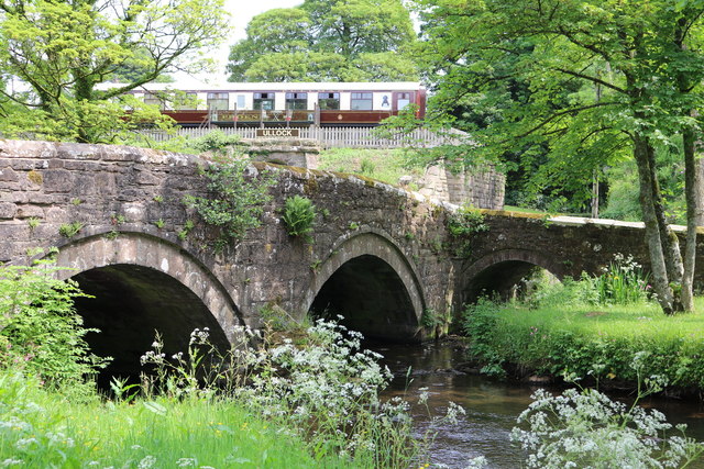
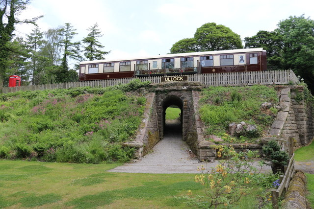
Ullock railway station
Ullock railway station was built by the Whitehaven, Cleator and Egremont Railway. It served the village of Ullock, Cumbria, England. == History == The...

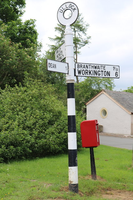
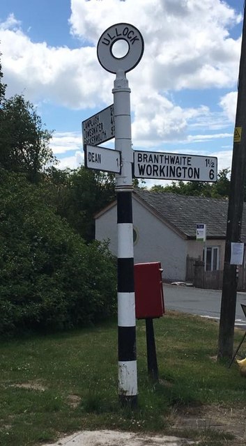
Ullock
Ullock is a village in Cumbria, England, located at National Grid reference NY076239, approximately 5 miles (8.0 km) south west of Cockermouth and 5.4...
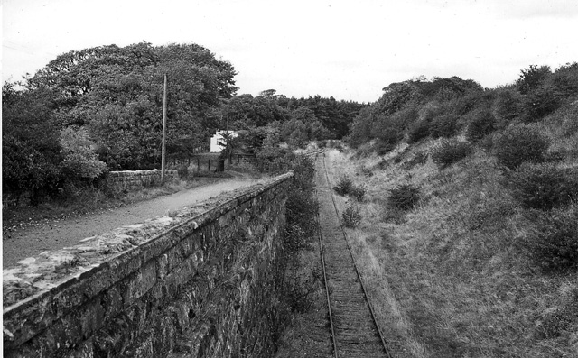
Branthwaite railway station
Branthwaite railway station was built by the Whitehaven, Cleator and Egremont Railway. It served the village of Branthwaite, Cumbria, England. == History... ==

Branthwaite
Branthwaite is a hamlet in Cumbria, England. The hamlet is approximately 5 mi (8 km) from Workington and 7 mi (11 km) from Cockermouth. It is located just...
Browtop
Browtop is a village in Cumbria, England. It is also an area of Keswick where Francis Galton stayed (In Galton's biography, Karl Pearson states that "Browtop...
Nearby Amenities
Located within 500m of 54.613629,-3.4371141Have you been to Park Hill?
Leave your review of Park Hill below (or comments, questions and feedback).