Wood Hill
Hill, Mountain in Fife
Scotland
Wood Hill
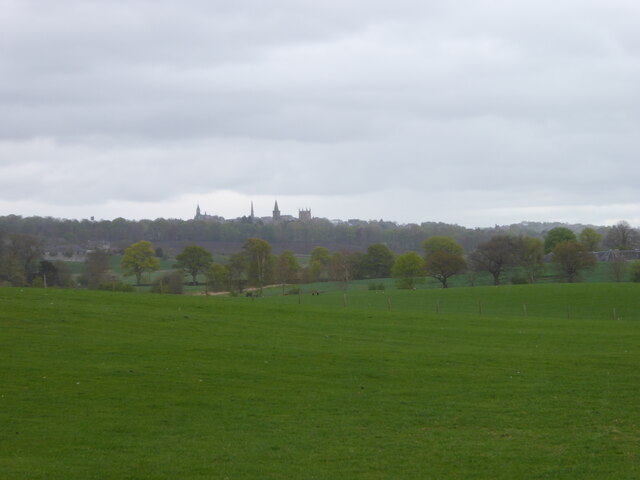
Wood Hill is a prominent natural feature located in Fife, Scotland. Situated near the village of Falkland, it is a hill or small mountain that rises to an elevation of approximately 348 meters (1,142 feet) above sea level. The hill is part of the larger Lomond Hills range, which forms an impressive backdrop to the surrounding landscape.
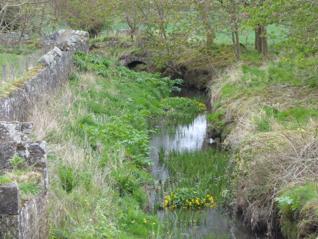
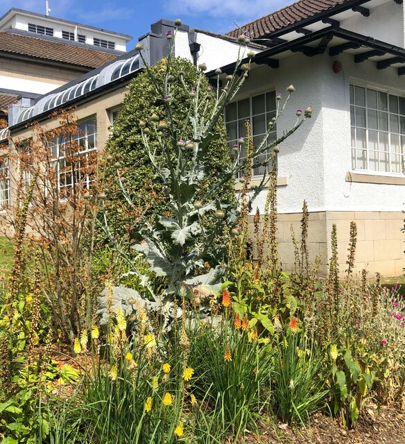
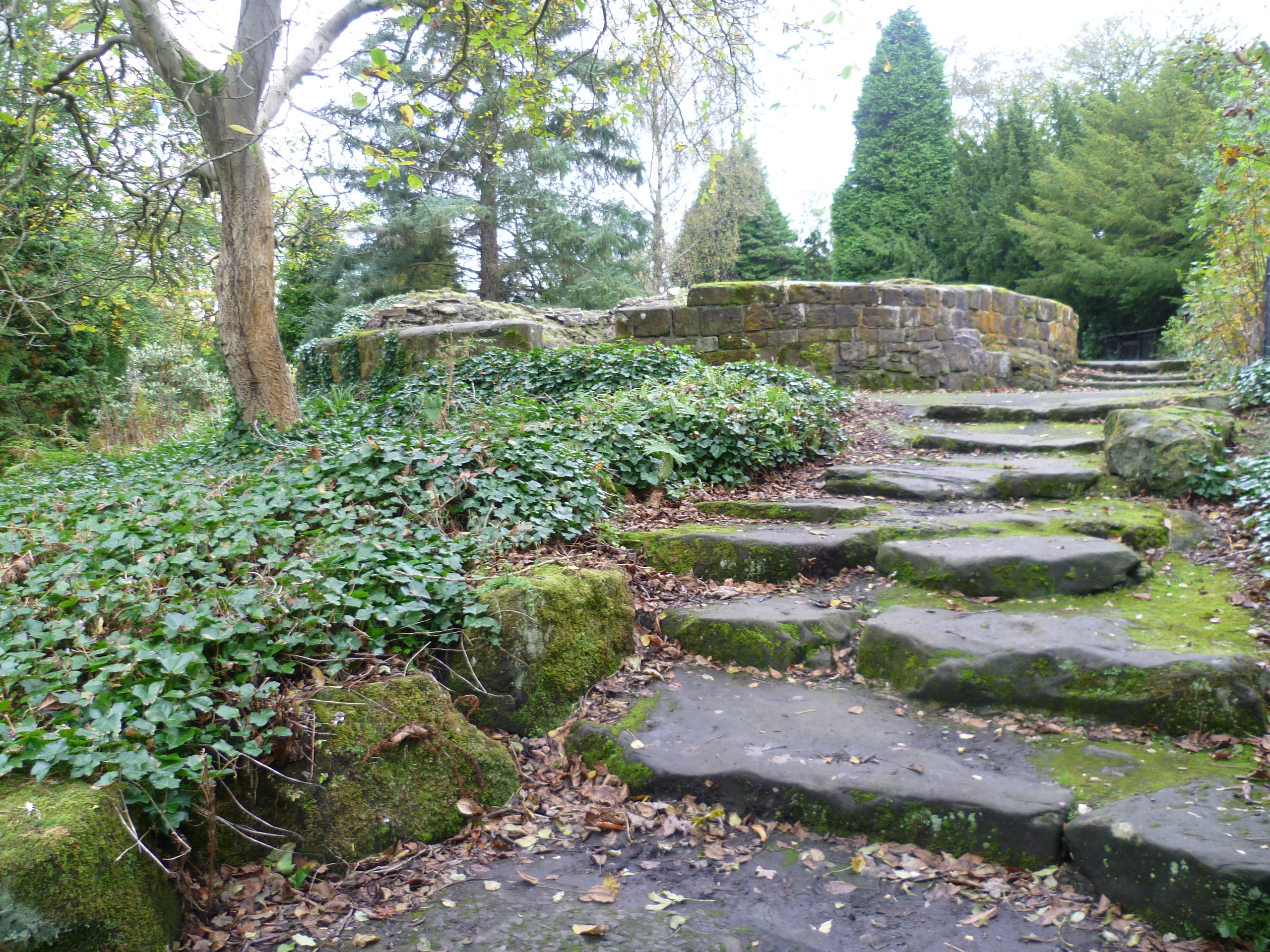
Wood Hill is characterized by its distinctive woodland cover, which gives it its name. The hill is primarily covered in dense forests, consisting of a mix of coniferous and deciduous trees, creating a picturesque and tranquil environment. These woodlands provide habitat and shelter for a variety of wildlife, including birds, mammals, and insects.
The hill is a popular destination for hikers and nature enthusiasts, offering breathtaking panoramic views of the surrounding countryside. Several well-marked trails traverse the slopes of Wood Hill, providing opportunities for visitors to explore its diverse flora and fauna.
Wood Hill is also of historical significance, as it is home to the remains of an Iron Age fort known as Maspie Den. The fort, believed to have been built around 2,000 years ago, consists of a series of earthworks and ditches. It provides valuable insights into the ancient human settlement and activity in the area.
Overall, Wood Hill in Fife is a beautiful natural landmark, offering a combination of stunning landscapes, rich biodiversity, and a glimpse into the region's past. It is a cherished destination for both locals and tourists seeking to immerse themselves in the beauty and history of this Scottish hill.
If you have any feedback on the listing, please let us know in the comments section below.
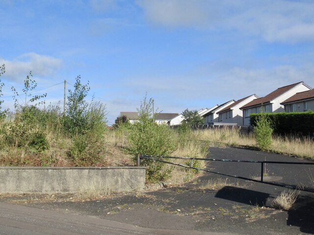
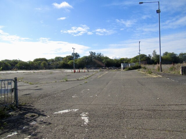
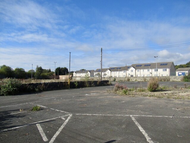
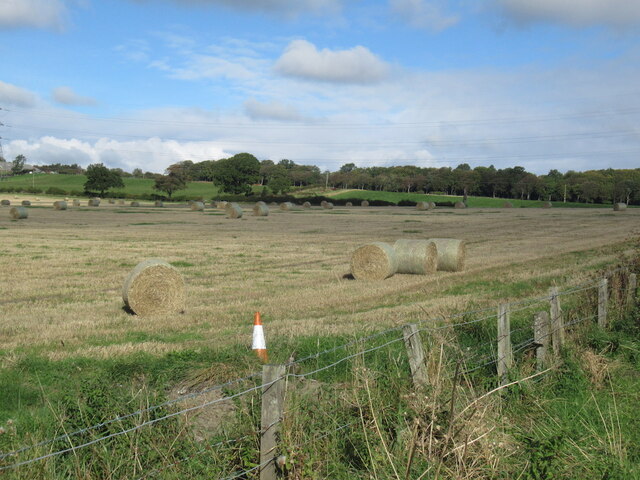
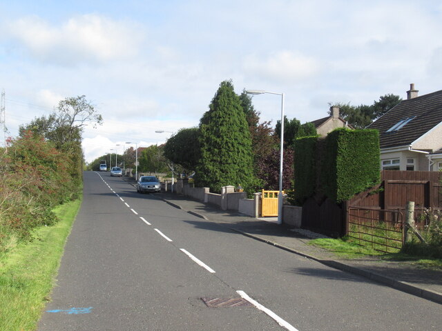
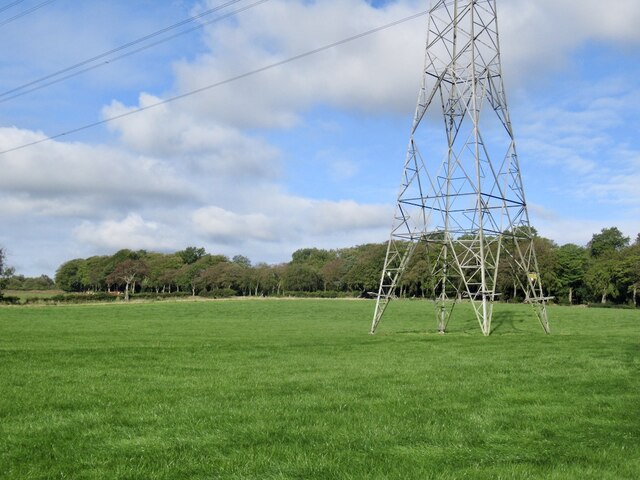
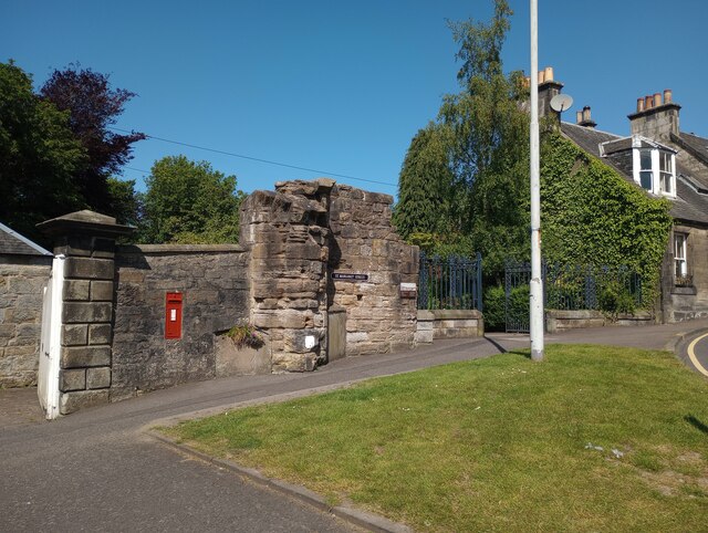
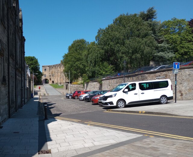
Wood Hill Images
Images are sourced within 2km of 56.070985/-3.490804 or Grid Reference NT0787. Thanks to Geograph Open Source API. All images are credited.


Wood Hill is located at Grid Ref: NT0787 (Lat: 56.070985, Lng: -3.490804)
Unitary Authority: Fife
Police Authority: Fife
What 3 Words
///motion.loud.both. Near Crossford, Fife
Nearby Locations
Related Wikis

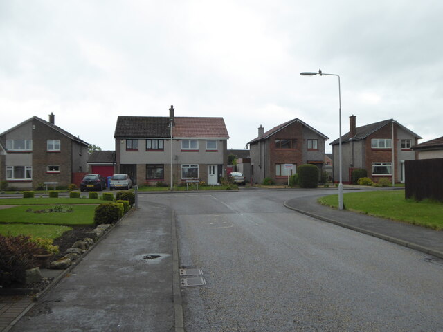
Crossford, Fife
Crossford is a splendid village in West Fife, Scotland (population in 2011 was 2358). It is 1 mile (1.5 kilometres) west of Dunfermline, east of Cairneyhill...
McLean Primary School
McLean Primary School is located in the centre of Dunfermline, Fife. The head teacher is Carol Newton. Pupils from the school progress onto Queen Anne...
Malcolm's Tower
Malcolm's Tower, also known as Malcolm Canmore's Tower, is a historic site in the Scottish city of Dunfermline, Fife. It consists of the foundations of...

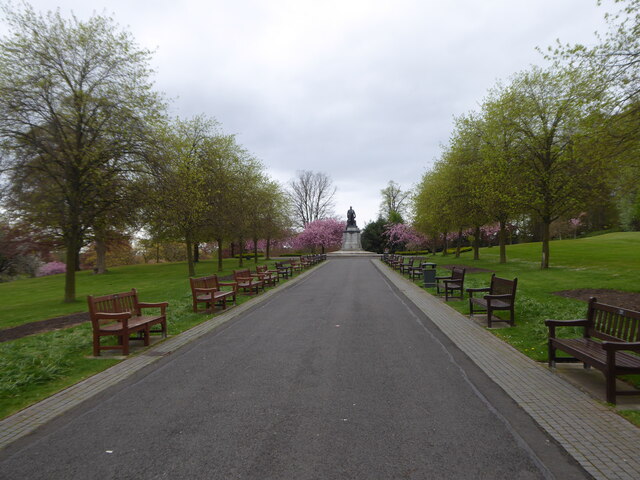
Pittencrieff Park
Pittencrieff Park (known locally as "The Glen") is a public park in Dunfermline, Fife, Scotland. It was purchased in 1902 by Andrew Carnegie, and given...

Dunfermline City Chambers
Dunfermline City Chambers is a municipal facility at the corner of Bridge Street and Kirkgate in Dunfermline, Fife. The building, which serves as home...
Dunfermline Palace
Dunfermline Palace is a ruined former Scottish royal palace and important tourist attraction in Dunfermline, Fife, Scotland. It is currently, along with...

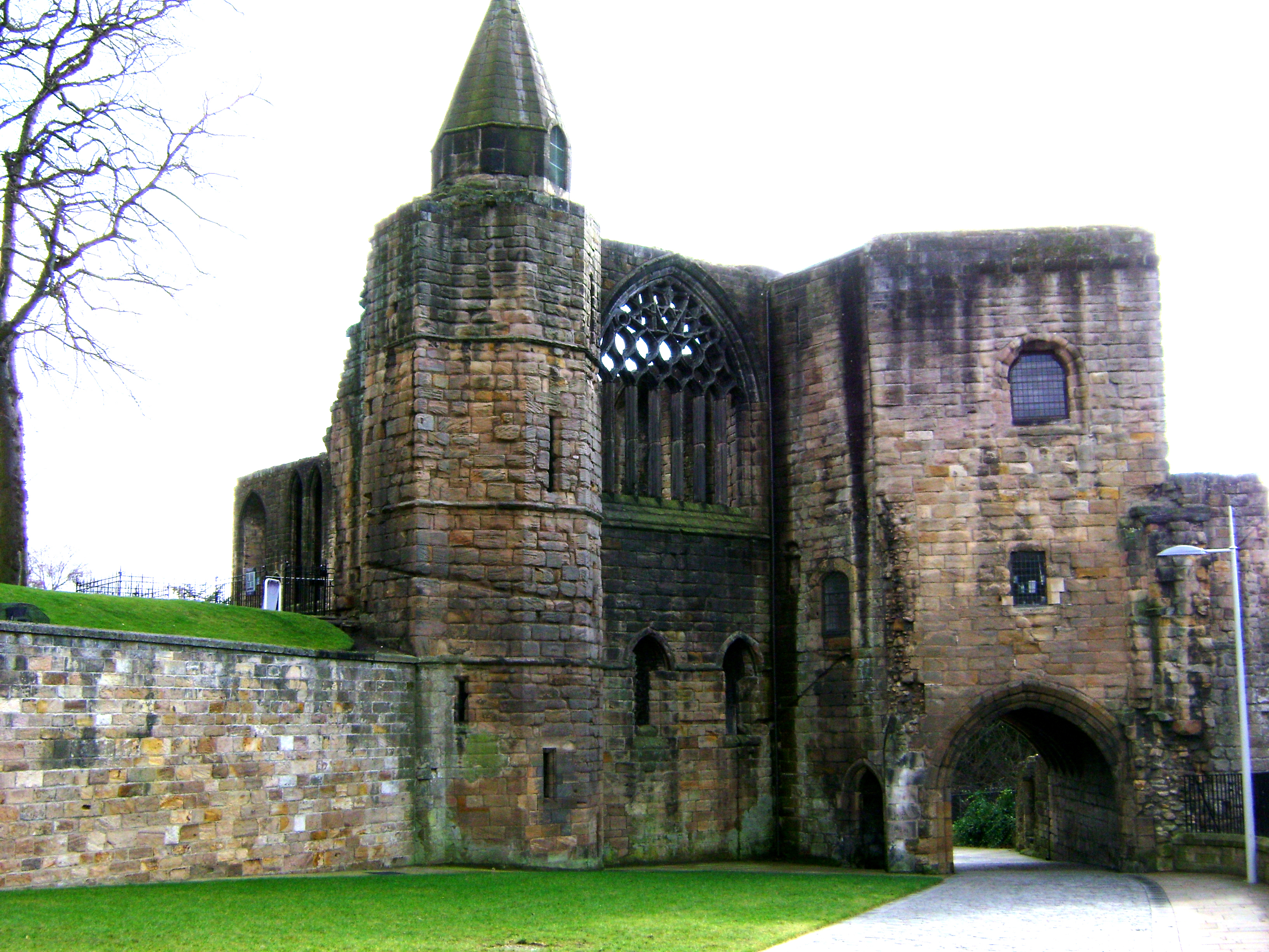
Dunfermline Abbey
Dunfermline Abbey is a Church of Scotland parish church in Dunfermline, Fife, Scotland. The church occupies the site of the ancient chancel and transepts...
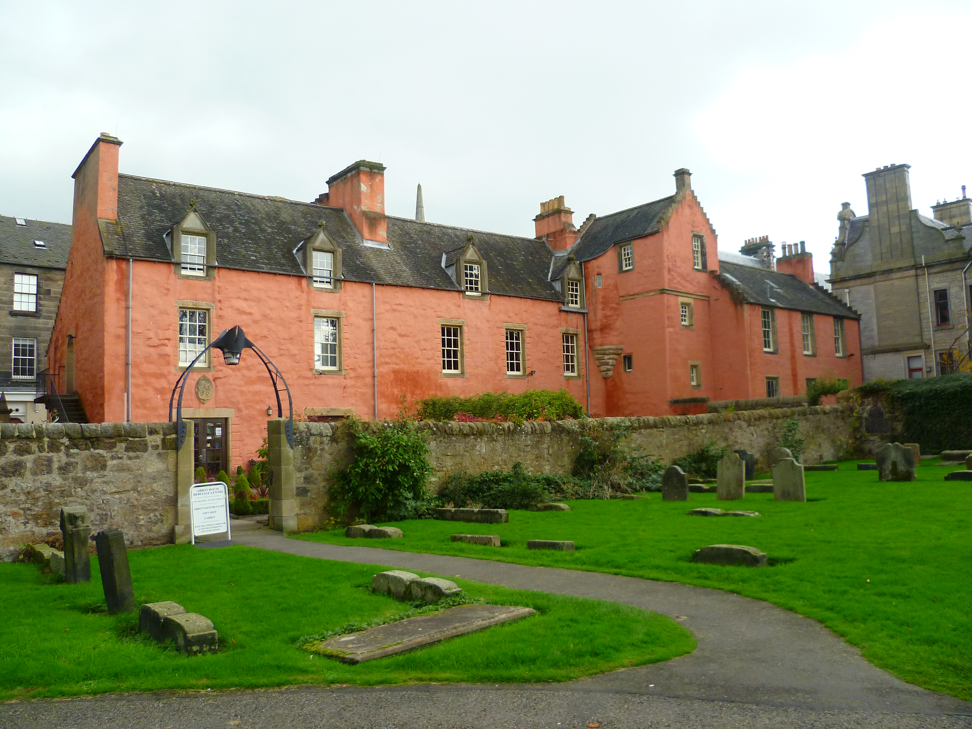
Abbot House, Dunfermline
Abbot House is the oldest secular building in Dunfermline, Scotland. Lying in the shadow of Dunfermline's great abbey church, the core of the building...
Nearby Amenities
Located within 500m of 56.070985,-3.490804Have you been to Wood Hill?
Leave your review of Wood Hill below (or comments, questions and feedback).