Berry Law

Hill, Mountain in Fife

Scotland

Berry Law

Path leading to the Andrew Carnegie statue in Pittencrieff Park
Path leading to the Andrew Carnegie statue in Pittencrieff Park Credit: Rod Allday

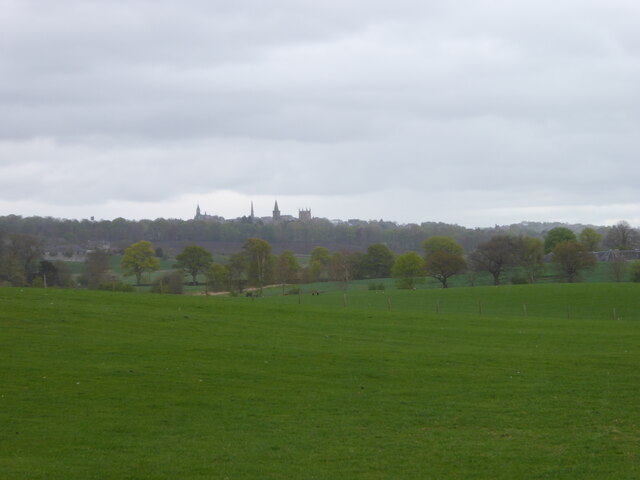
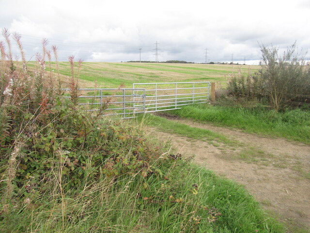
Berry Law is a prominent hill located in Fife, Scotland. Standing at an elevation of approximately 300 meters (984 feet), it is a popular destination for hikers and nature enthusiasts. The hill is part of the Lomond Hills Regional Park, which covers an area of about 65 square kilometers (25 square miles).

The summit of Berry Law offers breathtaking panoramic views of the surrounding countryside, including the Firth of Tay and the Lomond Hills. On a clear day, visitors can even catch glimpses of the neighboring counties of Perthshire and Angus. The hill is covered in lush vegetation, with heather and grasses dominating the landscape.

The ascent to the summit can be challenging at times, with steep slopes and uneven terrain. However, there are well-marked paths and trails that guide hikers along the way. The hill is also home to various wildlife species, including deer, rabbits, and a variety of birds, making it a perfect spot for wildlife enthusiasts.

Berry Law is a popular spot for outdoor activities such as hillwalking, mountain biking, and birdwatching. It attracts both locals and tourists who appreciate the natural beauty and tranquility it offers. The hill is easily accessible, with a car park and visitor facilities available nearby.

Overall, Berry Law in Fife is a remarkable hill that provides a rewarding outdoor experience for those seeking stunning views, a touch of adventure, and a chance to immerse themselves in nature.

If you have any feedback on the listing, please let us know in the comments section below.
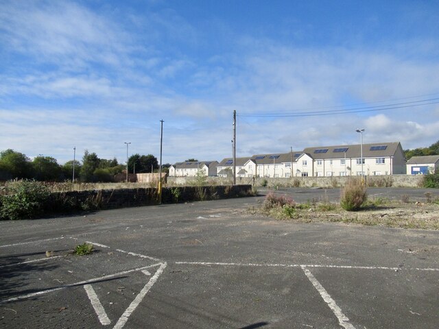
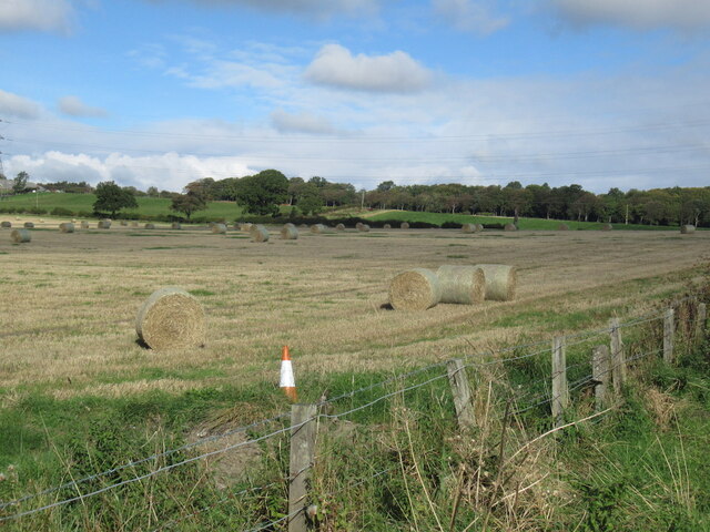
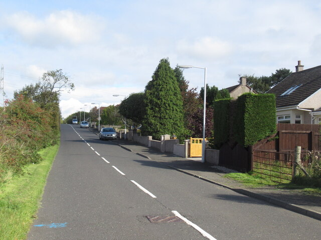
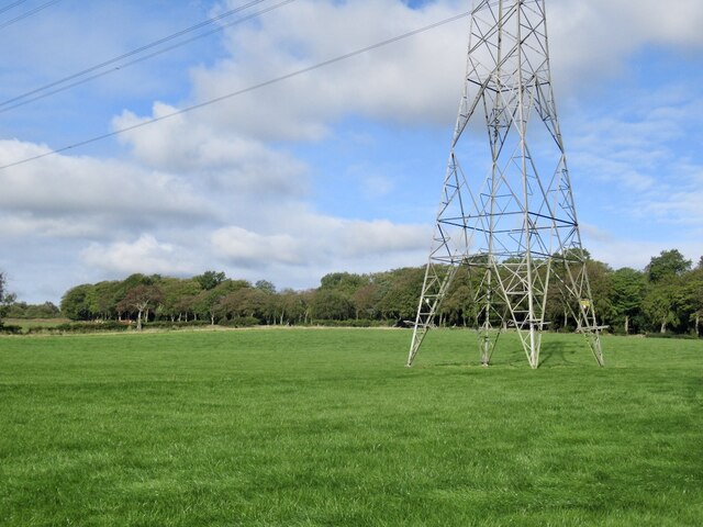
Berry Law Images

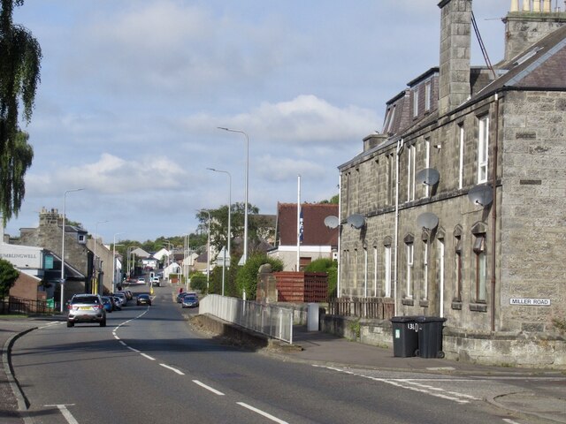
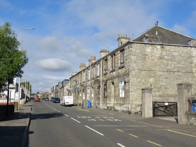
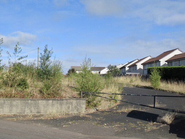
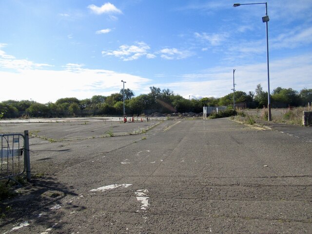
Images are sourced within 2km of 56.074417/-3.4930412 or Grid Reference NT0787. Thanks to Geograph Open Source API. All images are credited.

Path leading to the Andrew Carnegie statue in Pittencrieff Park
Junction of Hunt Place and Katrine Drive
Field on the east side of Waggon Road Looking towards Dunfermline.
Field on the east side of Waggon Road
Looking towards Dunfermline.
Thistle plant In the garden close to the Glen Pavilion in Pittencrieff Park, Dunfermline, this thistle plant is getting pretty big! There are several species of thistle and I'm not sure which one this is.
Thistle plant
In the garden close to the Glen Pavilion in Pittencrieff Park, Dunfermline, this thistle plant is getting pretty big! There are several species of thistle and I'm not sure which one this is.
Baldridgeburn, Dunfermline B9155
Baldridgeburn, Dunfermline
B9155
Rumblingwell
Rumblingwell
Abbey Cars site, Rumblingwell The car showroom has been demolished and the plot is for sale.
Abbey Cars site, Rumblingwell
The car showroom has been demolished and the plot is for sale.
Former Fife Council Depot, Rumblingwell
Round bales, Milesmark
Craigluscar Road, Milesmark
Pylon, Milesmark
Pylon, Milesmark
Stubble, East Cairns Access from the railway trackbed.
Stubble, East Cairns
Access from the railway trackbed.
Crossford Along the A994.
Crossford
Along the A994.
View towards Dunfermline
Monastery Street Dunfermline Leading to Dunfermline Abbey and Palace
Monastery Street Dunfermline
Leading to Dunfermline Abbey and Palace
Dunfermline Abbey Partly dating from the 12thC
Dunfermline Abbey
Partly dating from the 12thC
Trees: Pittencrieff Park Red Horse chestnut in centre
Trees: Pittencrieff Park
Red Horse chestnut in centre
Show me another place!

Berry Law is located at Grid Ref: NT0787 (Lat: 56.074417, Lng: -3.4930412)

Unitary Authority: Fife

Police Authority: Fife

What 3 Words

///tonic.rocket.trap. Near Crossford, Fife

Related Wikis

McLean Primary School

McLean Primary School is located in the centre of Dunfermline, Fife. The head teacher is Gillian Souter Pupils from the school progress onto Queen Anne...
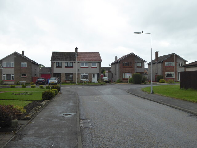
Crossford, Fife

Crossford is a splendid village in West Fife, Scotland (population in 2011 was 2358). It is 1 mile (1.5 kilometres) west of Dunfermline, east of Cairneyhill...

Malcolm's Tower

Malcolm's Tower, also known as Malcolm Canmore's Tower, is a historic site in the Scottish city of Dunfermline, Fife. It consists of the foundations of...
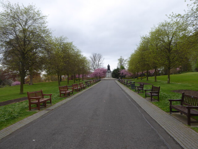
Pittencrieff Park

Pittencrieff Park (known locally as "The Glen") is a public park in Dunfermline, Fife, Scotland. It was purchased in 1902 by Andrew Carnegie, and given...

Nearby Amenities

Located within 500m of 56.074417,-3.4930412
North Urquhart
Place: isolated_dwelling
Lat/Long: 56.0739769/-3.486741
Jeanie Pit
Historic: mine
Lat/Long: 56.0743768/-3.4852514
Old Ironstone Pit
Historic: mine
Lat/Long: 56.0735864/-3.4853587
Old Coal Pit
Historic: mine
Lat/Long: 56.0730534/-3.4901009
Old Coal Pit
Historic: mine
Lat/Long: 56.0732989/-3.4984694
Barrier: kissing_gate
Lat/Long: 56.0735236/-3.4973748
Berry Law
Natural: peak
Lat/Long: 56.0742802/-3.4935521
Wood Hill
Natural: peak
Lat/Long: 56.071134/-3.4915093
Power: pole
Lat/Long: 56.0719635/-3.4980469
Power: pole
Lat/Long: 56.0712238/-3.4980017
Power: pole
Lat/Long: 56.0737319/-3.4867896
Power: pole
Lat/Long: 56.0739747/-3.4866019
Power: pole
Lat/Long: 56.0741991/-3.486487
Power: pole
Lat/Long: 56.0745391/-3.4862993
Power: pole
Lat/Long: 56.074933/-3.4861157
The data included in this document is from www.openstreetmap.org. The data is made available under ODbL.

Have you been to Berry Law?

Leave your review of Berry Law below (or comments, questions and feedback).