Berrylaw Top
Hill, Mountain in Fife
Scotland
Berrylaw Top
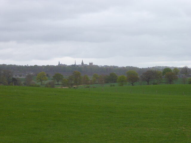
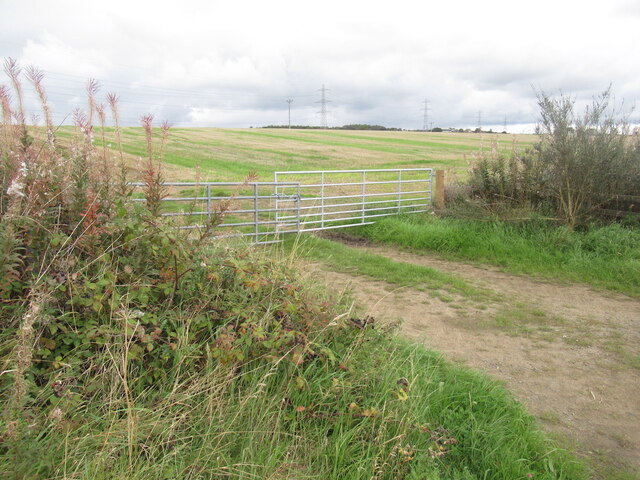
Berrylaw Top is a prominent hill located in Fife, Scotland. Situated near the village of Berrylaw, it stands at an impressive height of approximately 335 meters (1,100 feet) above sea level. Although not classified as a mountain, Berrylaw Top offers stunning panoramic views of the surrounding countryside, making it a popular destination for hikers, nature enthusiasts, and those seeking a peaceful retreat.
The hill is characterized by its gentle slopes covered in lush green vegetation, including heather, grasses, and scattered trees. The diverse flora supports a variety of wildlife, including birds, insects, and small mammals, adding to the natural beauty of the area.
Berrylaw Top is easily accessible, with several footpaths and trails leading to its summit. The climb is relatively moderate, making it suitable for both experienced hikers and beginners. Along the way, visitors may encounter streams, rocky outcrops, and wildflowers, enhancing the overall experience.
Reaching the top of Berrylaw Top rewards visitors with breathtaking views of the surrounding Fife landscape. On clear days, the vista extends across rolling farmlands, picturesque villages, and glimpses of the nearby coastline. The beauty of the hill is further accentuated during sunrise and sunset when the colors of the sky create a mesmerizing backdrop.
Overall, Berrylaw Top offers a captivating outdoor experience for those who enjoy hiking, nature, and stunning vistas. Whether one seeks solitude, exercise, or simply a connection with the natural world, this hill in Fife provides an ideal setting to immerse oneself in the beauty of Scotland's countryside.
If you have any feedback on the listing, please let us know in the comments section below.
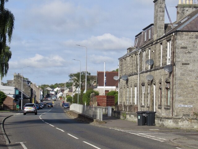
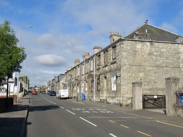
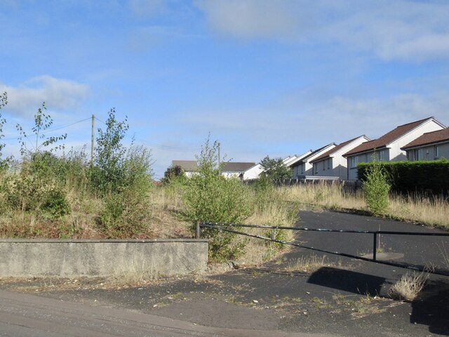
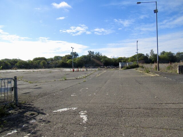
Berrylaw Top Images
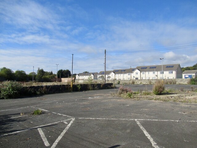
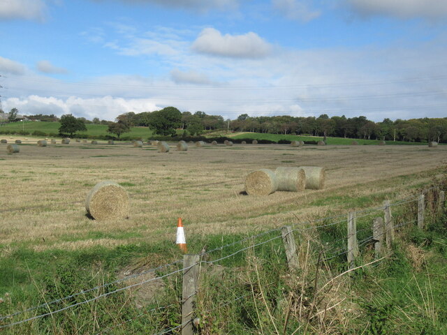
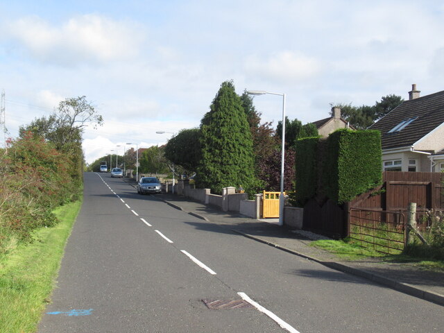
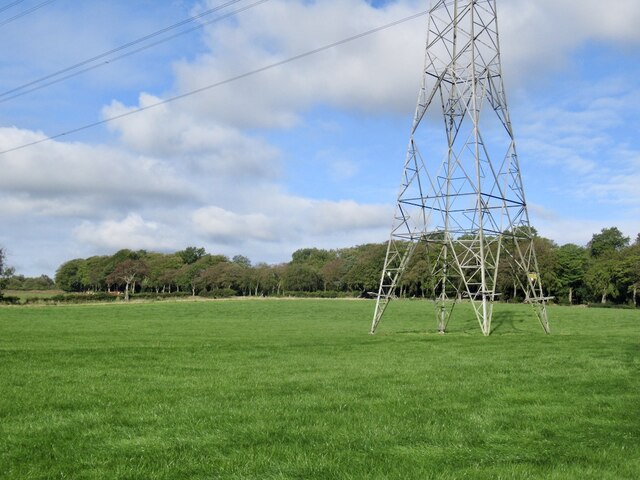
Images are sourced within 2km of 56.074426/-3.4930416 or Grid Reference NT0787. Thanks to Geograph Open Source API. All images are credited.


Berrylaw Top is located at Grid Ref: NT0787 (Lat: 56.074426, Lng: -3.4930416)
Unitary Authority: Fife
Police Authority: Fife
What 3 Words
///tonic.rocket.trap. Near Crossford, Fife
Nearby Locations
Related Wikis

McLean Primary School
McLean Primary School is located in the centre of Dunfermline, Fife. The head teacher is Gillian Souter Pupils from the school progress onto Queen Anne...
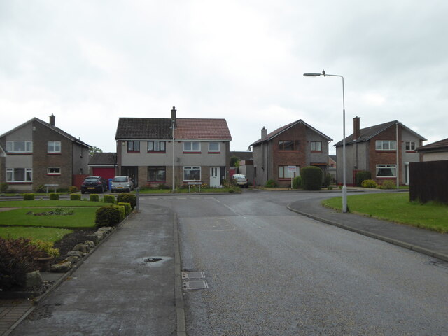
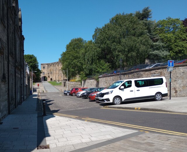
Crossford, Fife
Crossford is a splendid village in West Fife, Scotland (population in 2011 was 2358). It is 1 mile (1.5 kilometres) west of Dunfermline, east of Cairneyhill...
Malcolm's Tower
Malcolm's Tower, also known as Malcolm Canmore's Tower, is a historic site in the Scottish city of Dunfermline, Fife. It consists of the foundations of...

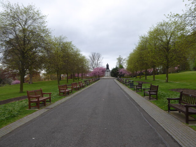
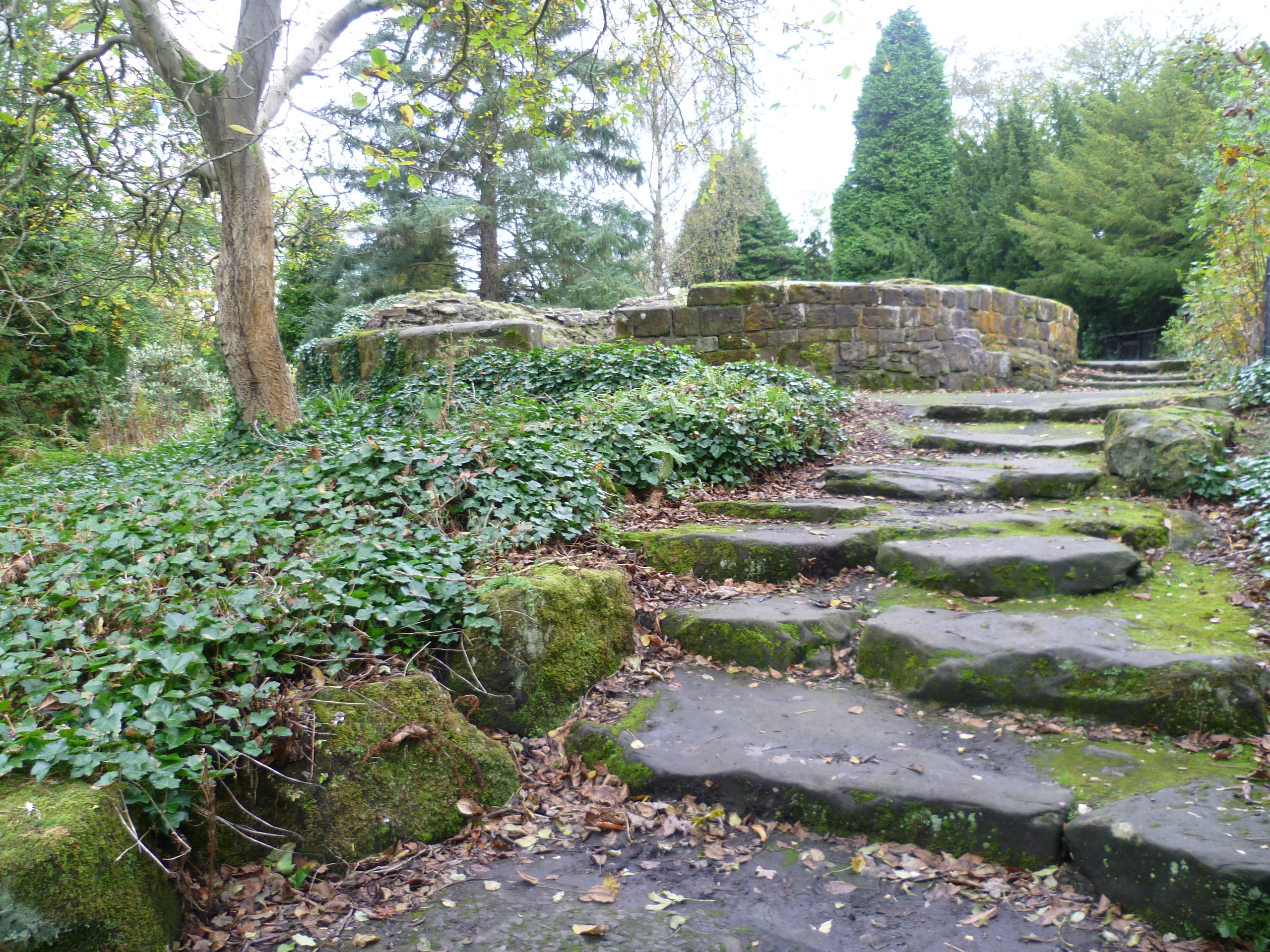
Pittencrieff Park
Pittencrieff Park (known locally as "The Glen") is a public park in Dunfermline, Fife, Scotland. It was purchased in 1902 by Andrew Carnegie, and given...
Nearby Amenities
Located within 500m of 56.074426,-3.4930416Have you been to Berrylaw Top?
Leave your review of Berrylaw Top below (or comments, questions and feedback).