Coats Hill

Hill, Mountain in Dumfriesshire

Scotland

Coats Hill

Moffat Church St Andrew's Parish Church dominates the approach to Moffat from the south. <span class="nowrap"><a title="http://www.undiscoveredscotland.co.uk/moffat/standrews/index.html" rel="nofollow ugc noopener" href="http://www.undiscoveredscotland.co.uk/moffat/standrews/index.html">Link</a><img style="margin-left:2px;" alt="External link" title="External link - shift click to open in new window" src="https://s1.geograph.org.uk/img/external.png" width="10" height="10"/></span>
Moffat Church Credit: Dennis Turner

Coats Hill is a prominent hill located in Dumfriesshire, Scotland. Standing at an elevation of 692 meters (2,270 feet), it is one of the highest hills in the region. Situated in the Lowther Hills, Coats Hill offers breathtaking panoramic views of the surrounding landscapes, making it a popular destination for hikers, nature enthusiasts, and photographers alike.

The hill is characterized by its gentle slopes and rolling terrain, covered in a mixture of heather, grasses, and scattered rocky outcrops. Its distinct shape and position make it easily recognizable from a distance. The summit of Coats Hill is marked by a small cairn, providing a sense of accomplishment for those who reach the top.

Coats Hill is part of the Southern Uplands, a range of hills and mountains that extend across southern Scotland. Its location within the Lowther Hills means it benefits from the region's rich biodiversity. The hill provides a habitat for various plant and animal species, including heather, mosses, mountain hares, and birds of prey such as buzzards and kestrels.

Access to Coats Hill is relatively straightforward, with several footpaths and trails leading to its summit. The most popular route starts from the village of Wanlockhead, following a well-marked path that offers stunning views along the way. As with any hill, it is important for visitors to come prepared with suitable clothing, footwear, and provisions, as weather conditions can change rapidly.

Overall, Coats Hill offers a rewarding and invigorating experience for outdoor enthusiasts, combining stunning natural beauty with a sense of tranquility and adventure.

If you have any feedback on the listing, please let us know in the comments section below.
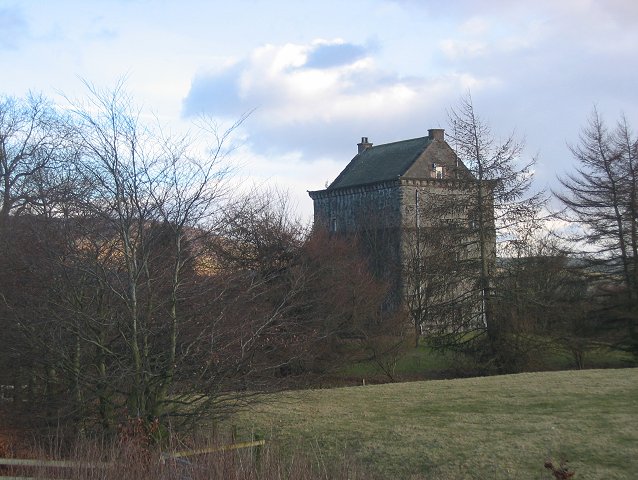
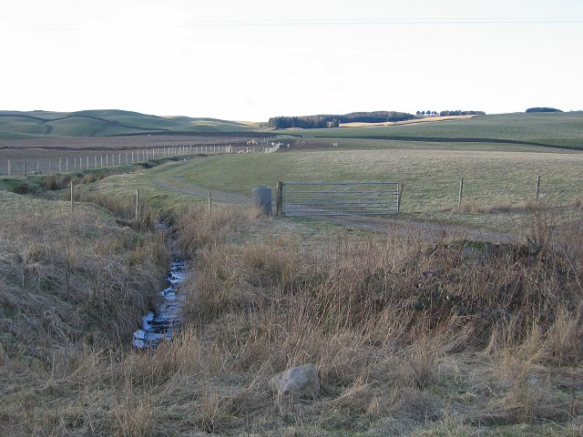
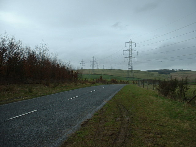
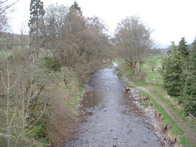
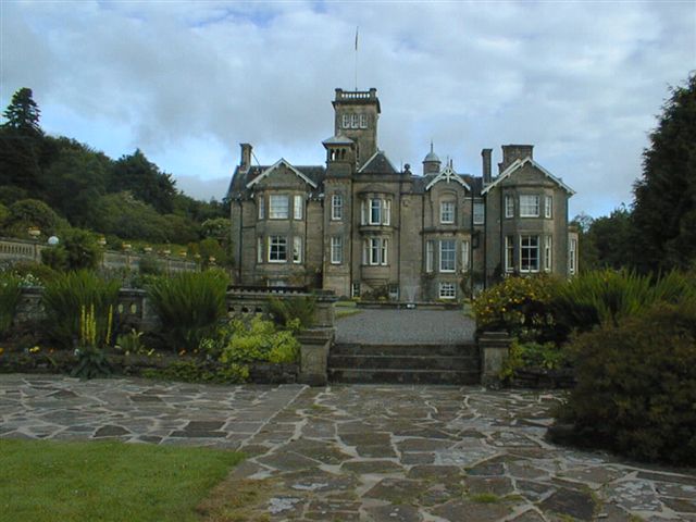
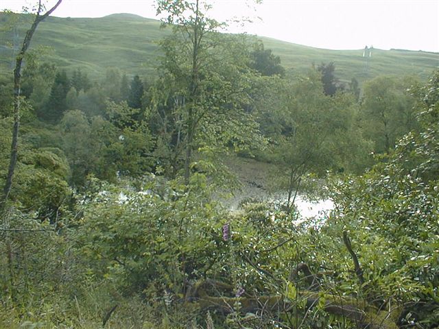
Coats Hill Images

Images are sourced within 2km of 55.327399/-3.46498 or Grid Reference NT0704. Thanks to Geograph Open Source API. All images are credited.

Moffat Church St Andrew's Parish Church dominates the approach to Moffat from the south. <span class="nowrap"><a title="http://www.undiscoveredscotland.co.uk/moffat/standrews/index.html" rel="nofollow ugc noopener" href="http://www.undiscoveredscotland.co.uk/moffat/standrews/index.html">Link</a><img style="margin-left:2px;" alt="External link" title="External link - shift click to open in new window" src="https://s1.geograph.org.uk/img/external.png" width="10" height="10"/></span>
Moffat Church
St Andrew's Parish Church dominates the approach to Moffat from the south. LinkExternal link
The Moffat Ram This sculpture sits on top of the Colvin fountain.
The Moffat Ram
This sculpture sits on top of the Colvin fountain.
Moffat Tup The sculpture of a ram which does not appear to have ears, though I am informed by a sheep farmer that the ears of living sheep are concealed behind their horns.
Moffat Tup
The sculpture of a ram which does not appear to have ears, though I am informed by a sheep farmer that the ears of living sheep are concealed behind their horns.
The Star Hotel The narrowest detached hotel as seen in the Guinness Book of Records
The Star Hotel
The narrowest detached hotel as seen in the Guinness Book of Records
Derelict Cottages at Evan Water. When originally built, this cottage at Longbedholme must have been an idyllic place to live - on the banks of Evan Water where it tumbles over the rocks.
Now, sandwiched between the B7076, the M74 motorway, and the railway lines it would be unbearable, with the incessant din of traffic thundering by 24 hours a day.
Derelict Cottages at Evan Water.
When originally built, this cottage at Longbedholme must have been an idyllic place to live - on the banks of Evan Water where it tumbles over the rocks. Now, sandwiched between the B7076, the M74 motorway, and the railway lines it would be unbearable, with the incessant din of traffic thundering by 24 hours a day.
Moffat North Arqiva tower This tower stands on a hill just North-West of the pretty town of Moffat.
This is a multi site share mobile phone tower. The views from this hill cover the Lowther Hills from Queensberry through to Green Lowther.
Moffat North Arqiva tower
This tower stands on a hill just North-West of the pretty town of Moffat. This is a multi site share mobile phone tower. The views from this hill cover the Lowther Hills from Queensberry through to Green Lowther.
Lochhouse Tower 15th Century tower house handily placed in the midst of a reivers artery, Annandale.
Lochhouse Tower
15th Century tower house handily placed in the midst of a reivers artery, Annandale.
Annandale farmland. View north from near Lochhouse Tower.
Annandale farmland.
View north from near Lochhouse Tower.
The Italian Restaurant in Moffat
Pylons near Beattock Looking north. Hidden from sight, but very close, is Junction 15 of the M74 in a dip behind the hedge.  The M74 follows the line of the pylons.
Pylons near Beattock
Looking north. Hidden from sight, but very close, is Junction 15 of the M74 in a dip behind the hedge. The M74 follows the line of the pylons.
The Rumblin' Tum, Moffat
Station Park, Moffat. The park is on the south side of the town, by the old railway station and the River Annan. It is a local tourist attraction and helped to win "Scotland in Bloom" awards.
Station Park, Moffat.
The park is on the south side of the town, by the old railway station and the River Annan. It is a local tourist attraction and helped to win "Scotland in Bloom" awards.
Clock Tower,  Moffat This old building on the corner of High and Well Streets is the Old Jail and Courthouse, now a shop.
Clock Tower, Moffat
This old building on the corner of High and Well Streets is the Old Jail and Courthouse, now a shop.
River Annan Looking north, from the bridge on the A701.
River Annan
Looking north, from the bridge on the A701.
Moffat Cemetery
Moffat Cemetery
Aerial View of Moffat Moffat from around 5000 feet taken during a cross country flight by paraglider having taken off at Tinto Hill, South Lanarkshire.
Aerial View of Moffat
Moffat from around 5000 feet taken during a cross country flight by paraglider having taken off at Tinto Hill, South Lanarkshire.
Auchen Castle Hotel
Auchen Castle Hotel
Auchen Castle Hotel Hotel grounds and loch
Auchen Castle Hotel
Hotel grounds and loch
Show me another place!

Coats Hill is located at Grid Ref: NT0704 (Lat: 55.327399, Lng: -3.46498)

Unitary Authority: Dumfries and Galloway

Police Authority: Dumfries and Galloway

What 3 Words

///pill.sums.washable. Near Moffat, Dumfries & Galloway

Nearby Locations

Coats Hill

Related Wikis

Auchencastle railway station

Auchencastle railway station was a private station which served Auchencastle, near Beattock, in the Scottish county of Dumfries and Galloway. It was used...

Moffat railway station

Moffat railway station was a station and the terminus of a short branch line which served Moffat, in the Scottish county of Dumfries and Galloway. It was...
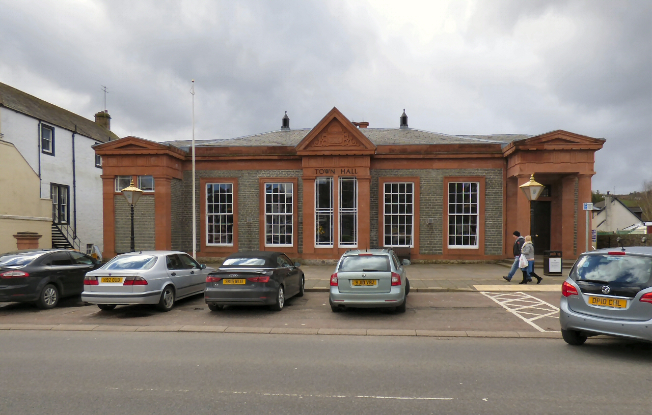
Moffat Town Hall

Moffat Town Hall is a municipal building in the High Street in Moffat, Dumfries and Galloway, Scotland. The structure, which is used as community events...

Moffat Museum

Moffat Museum is a community museum in Moffat, Scotland. It was established in the Old Moffat Bakehouse in 1984. The museum expanded into a neighbouring...

Related Videos

Walking the Silver Jubilee Road

It's always great getting out and about in and around Moffat Here is the very quiet and peaceful Silver Jubilee Road It's a short ...

Hart Fell Ridges / hiking /hillwalking / corbetts / munros / Scotland

A nice hillwalk near Moffat in Dumfries and Galloway. 22nd Oct 2020.

Channel preview / hiking / wild camping / Munro bagging

Welcome to moffat mountain adventures. I will do a proper introduction video soon but here's a little taste of clips that I have ...

Nearby Amenities

Located within 500m of 55.327399,-3.46498
Design: barrel
Power: tower
Lat/Long: 55.3243635/-3.4676683
Design: barrel
Power: tower
Lat/Long: 55.3264892/-3.4700695
Design: barrel
Power: tower
Lat/Long: 55.3283927/-3.4722474
The data included in this document is from www.openstreetmap.org. The data is made available under ODbL.

Have you been to Coats Hill?

Leave your review of Coats Hill below (or comments, questions and feedback).