Gateshadling Plantation
Wood, Forest in Cumberland Allerdale
England
Gateshadling Plantation
Gateshadling Plantation is a picturesque woodland located in Cumberland, a county in the northwestern region of England. Situated in close proximity to the village of Gateshadling, this woodland is a designated forest area known for its natural beauty and diverse range of flora and fauna.
Covering an expansive area, Gateshadling Plantation is predominantly composed of deciduous trees, including oak, birch, and beech, which create a stunning canopy overhead. The forest floor is adorned with a rich carpet of vibrant wildflowers, such as bluebells, primroses, and wood anemones, adding a burst of color to the woodland.
The plantation is a haven for wildlife, attracting a wide variety of bird species, including woodpeckers, owls, and songbirds. Many mammals can also be spotted here, such as deer, foxes, and squirrels, making it a popular destination for nature enthusiasts and wildlife photographers.
The woodland is intersected by several well-maintained trails, allowing visitors to explore its beauty on foot or by bike. These paths wind through the forest, offering breathtaking views of the surrounding countryside and providing opportunities for peaceful walks and outdoor activities.
Gateshadling Plantation is managed by local authorities and conservation groups, ensuring its preservation and protection. Visitors are encouraged to respect the natural environment and adhere to any guidelines or restrictions in place.
Overall, Gateshadling Plantation in Cumberland is a captivating woodland, offering a tranquil escape from the hustle and bustle of everyday life while providing a valuable habitat for various plant and animal species.
If you have any feedback on the listing, please let us know in the comments section below.
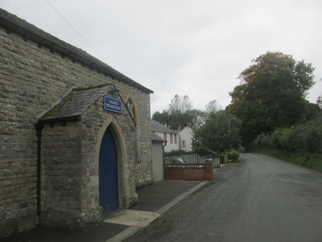
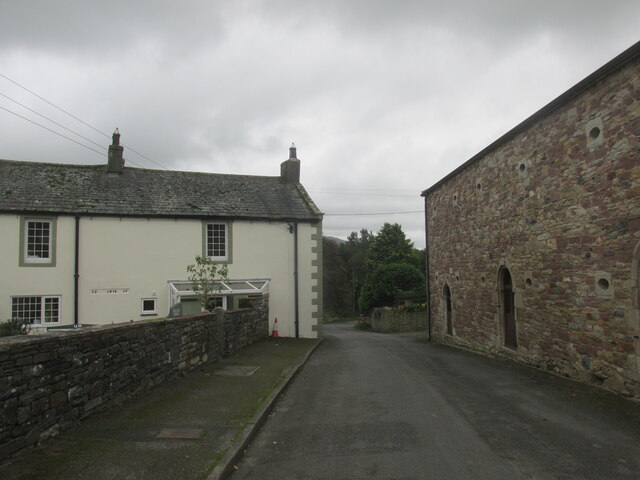
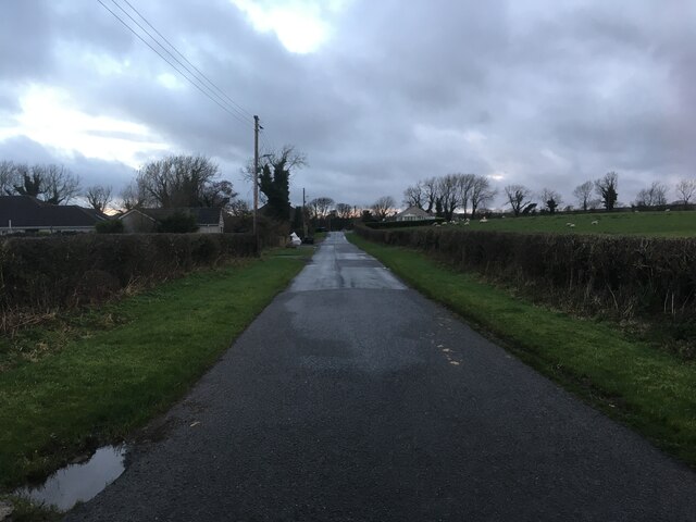
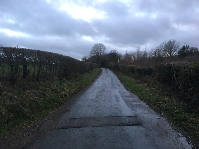
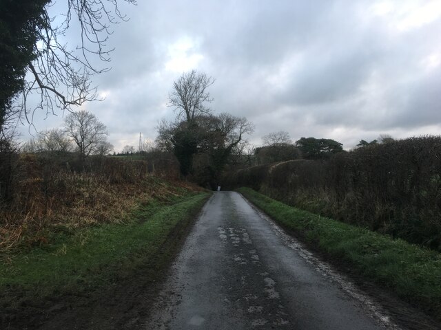
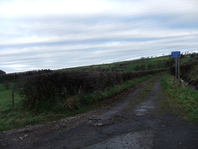
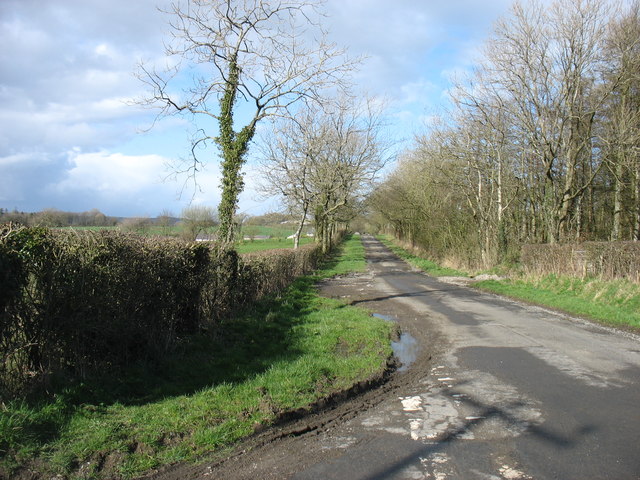
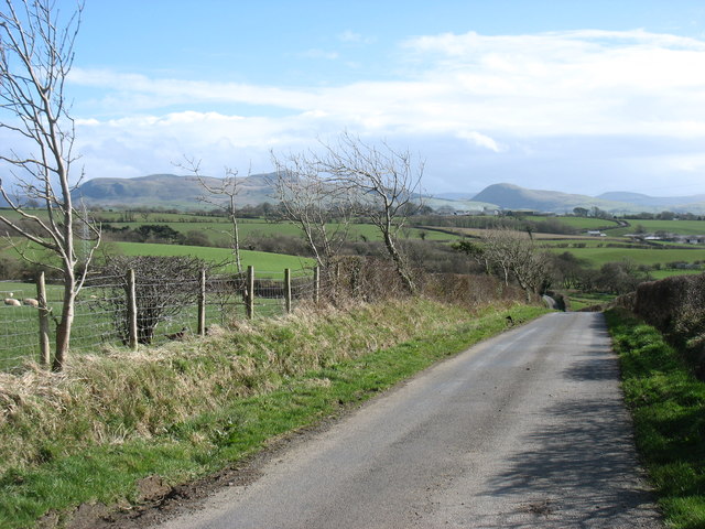
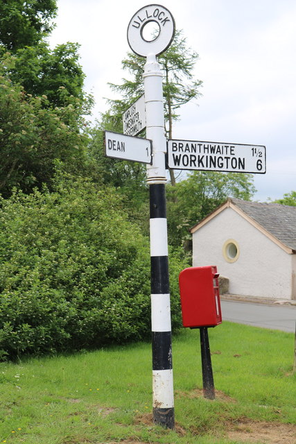
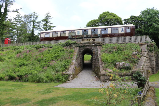
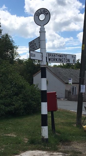
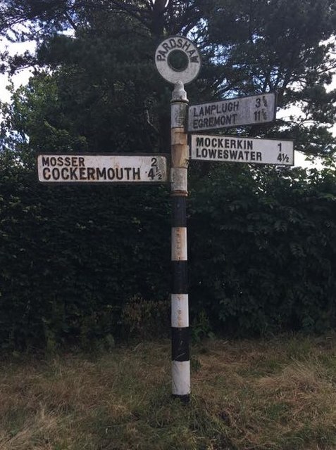
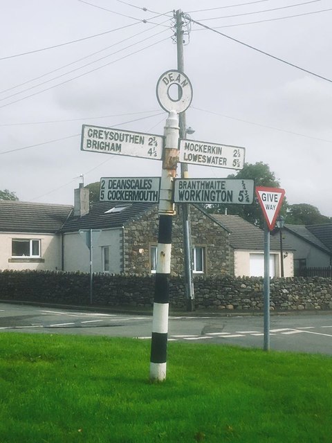
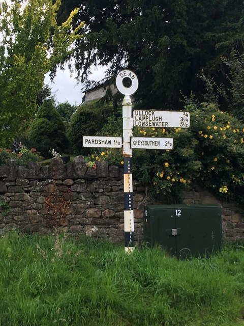
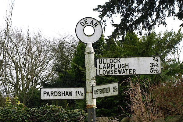
Gateshadling Plantation Images
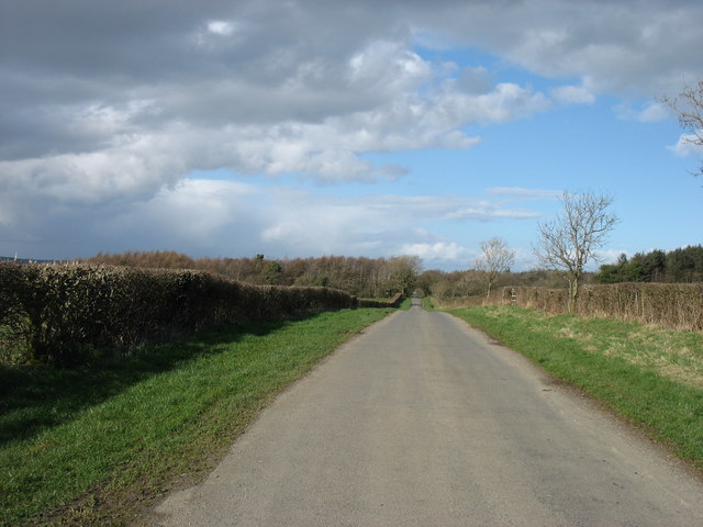
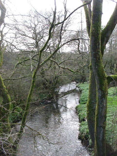
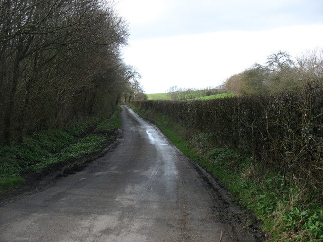
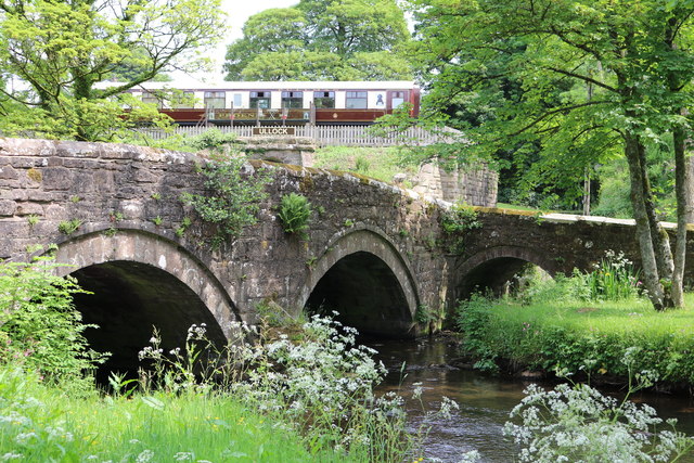
Images are sourced within 2km of 54.619323/-3.4283475 or Grid Reference NY0725. Thanks to Geograph Open Source API. All images are credited.
Gateshadling Plantation is located at Grid Ref: NY0725 (Lat: 54.619323, Lng: -3.4283475)
Administrative County: Cumbria
District: Allerdale
Police Authority: Cumbria
What 3 Words
///pesky.galleries.pouting. Near Cockermouth, Cumbria
Nearby Locations
Related Wikis
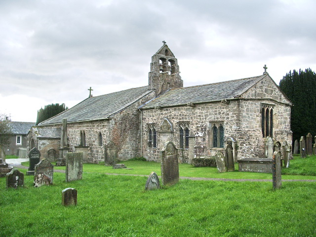
Dean, Cumbria
Dean is a village and civil parish in the county of Cumbria, England. Dean has a Church of England school, a church called St Oswald's. Nearby settlements...
St Oswald's Church, Dean
St Oswald's Church is in the village of Dean, Cumbria, England. It is an active Anglican parish church in the deanery of Derwent, the archdeaconry of...
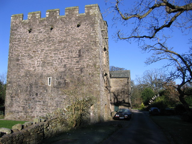
Branthwaite Hall
Branthwaite Hall is pele tower in Cumbria, England, considered by historian Anthony Emery to be "one of the best-preserved early houses in Cumbria"....

Deanscales
Deanscales is a hamlet in the county of Cumbria, England. Nearby settlements include the village of Dean and the town of Cockermouth. Deanscales is on...
Nearby Amenities
Located within 500m of 54.619323,-3.4283475Have you been to Gateshadling Plantation?
Leave your review of Gateshadling Plantation below (or comments, questions and feedback).