Dean
Settlement in Cumberland Allerdale
England
Dean
Dean, Cumberland is a small rural community located in the province of Nova Scotia, Canada. Situated in the Cumberland County, the town is nestled in a picturesque valley surrounded by rolling hills and scenic landscapes. With a population of around 500 residents, Dean embodies the charm and tranquility of a typical Canadian countryside.
The town is primarily an agricultural community, with farming being the main source of income for its inhabitants. The fertile soil and favorable climate in Dean make it an ideal location for various crops, including grains, vegetables, and fruits. The surrounding fields are often dotted with livestock, showcasing the importance of farming in the local economy.
Dean is also renowned for its rich history and heritage. The town has several well-preserved heritage buildings and landmarks that offer a glimpse into its past. The Dean Bridge, a historic structure spanning the nearby river, serves as a testament to the town's engineering prowess.
Despite its small size, Dean offers a range of amenities and services to its residents. The town has a community center that serves as a gathering place for social events and recreational activities. There is also a local school, ensuring that the education needs of the community are met.
Surrounded by natural beauty, Dean offers ample opportunities for outdoor activities. Residents and visitors can enjoy hiking, fishing, and camping in the nearby forests and rivers. The town's tranquil atmosphere and close-knit community make it an attractive destination for those seeking a peaceful and idyllic lifestyle.
If you have any feedback on the listing, please let us know in the comments section below.
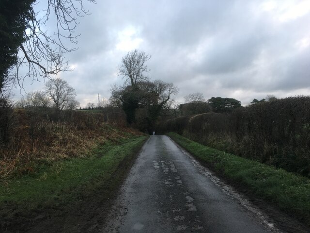
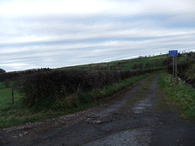
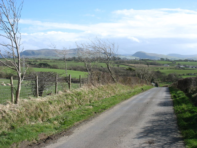
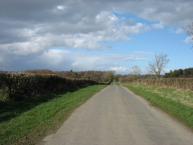
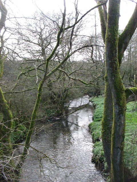
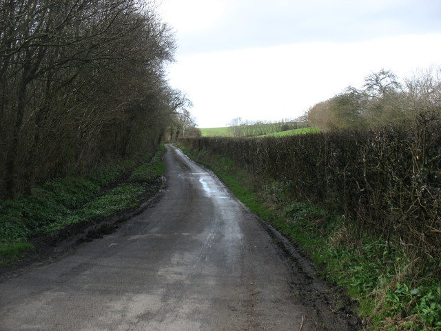
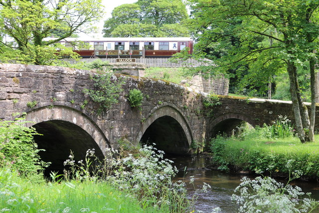
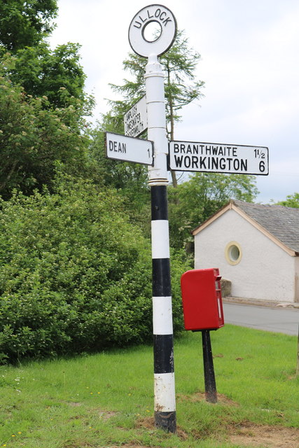
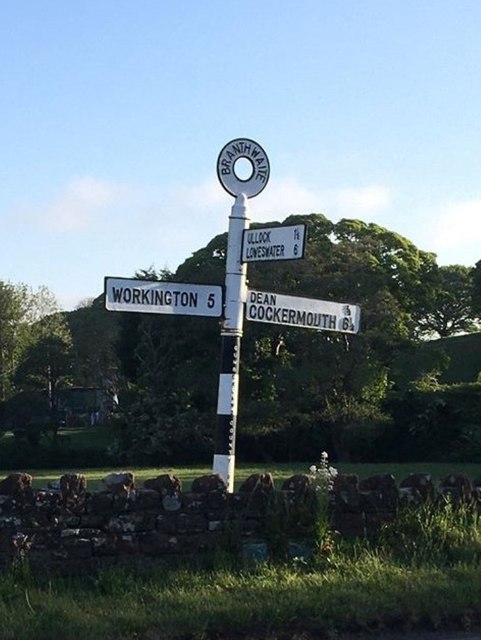
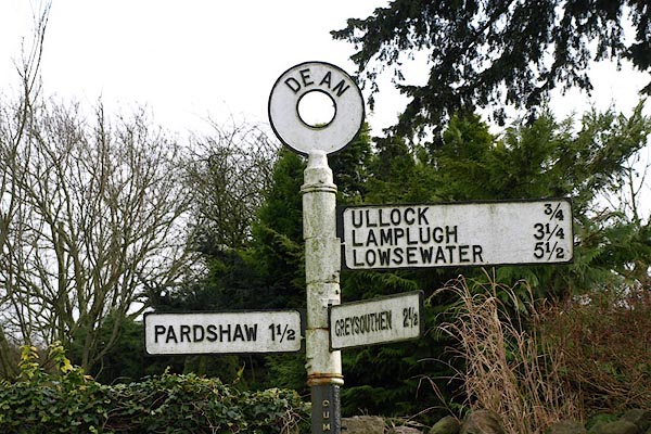
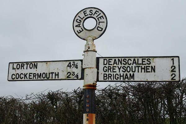
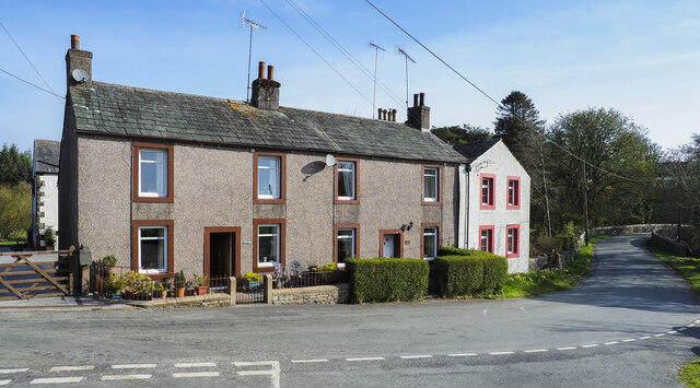
Dean Images
Images are sourced within 2km of 54.613501/-3.4350191 or Grid Reference NY0725. Thanks to Geograph Open Source API. All images are credited.
Dean is located at Grid Ref: NY0725 (Lat: 54.613501, Lng: -3.4350191)
Administrative County: Cumbria
District: Allerdale
Police Authority: Cumbria
What 3 Words
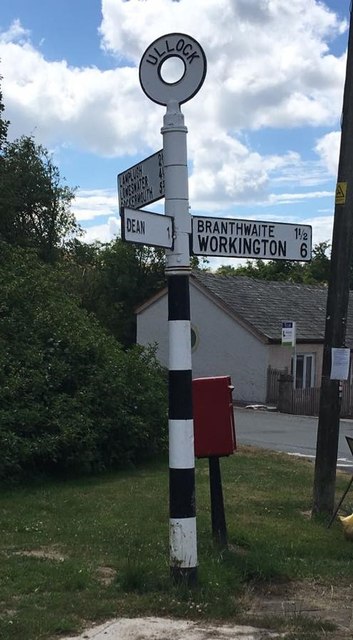
///severe.pining.squabbles. Near Distington, Cumbria
Nearby Locations
Related Wikis
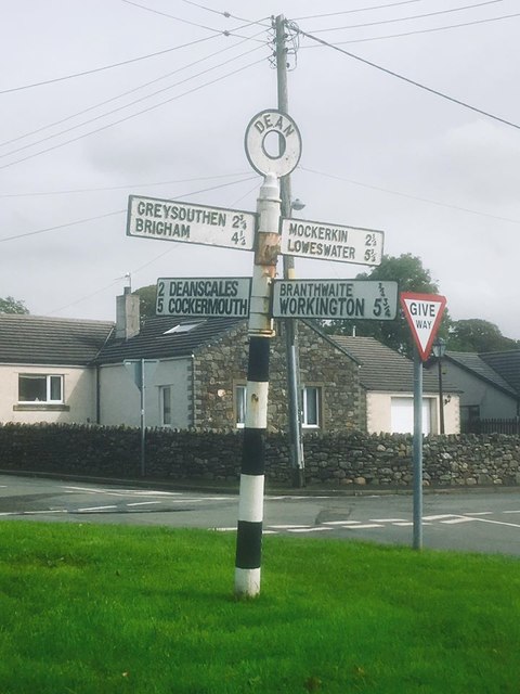
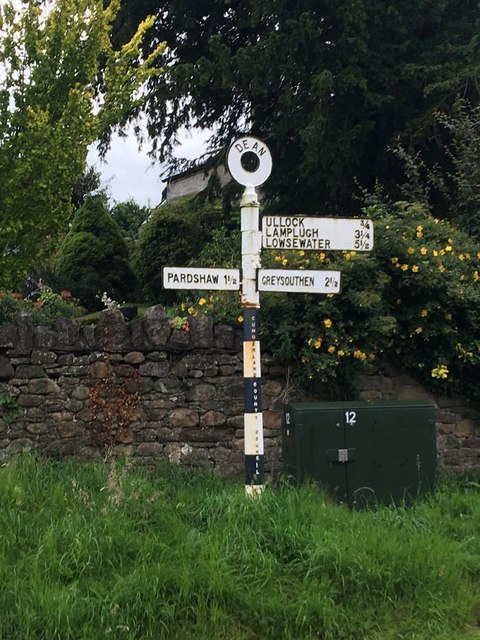
Dean, Cumbria
Dean is a village and civil parish in the county of Cumbria, England. Dean has a Church of England school, a church called St Oswald's. Nearby settlements...
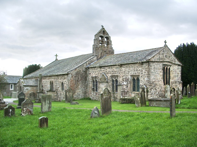
St Oswald's Church, Dean
St Oswald's Church is in the village of Dean, Cumbria, England. It is an active Anglican parish church in the deanery of Derwent, the archdeaconry of...
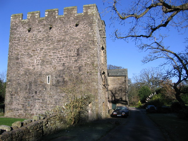
Branthwaite Hall
Branthwaite Hall is pele tower in Cumbria, England, considered by historian Anthony Emery to be "one of the best-preserved early houses in Cumbria"....

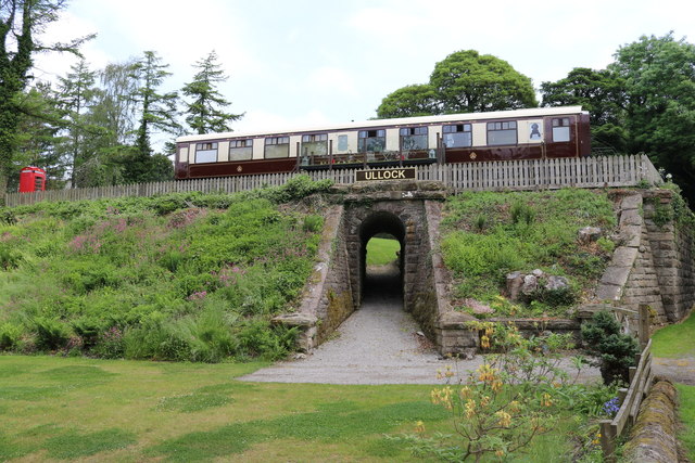
Ullock railway station
Ullock railway station was built by the Whitehaven, Cleator and Egremont Railway. It served the village of Ullock, Cumbria, England. == History == The...
Nearby Amenities
Located within 500m of 54.613501,-3.4350191Have you been to Dean?
Leave your review of Dean below (or comments, questions and feedback).