Cockshot Wood
Wood, Forest in Cumberland Allerdale
England
Cockshot Wood
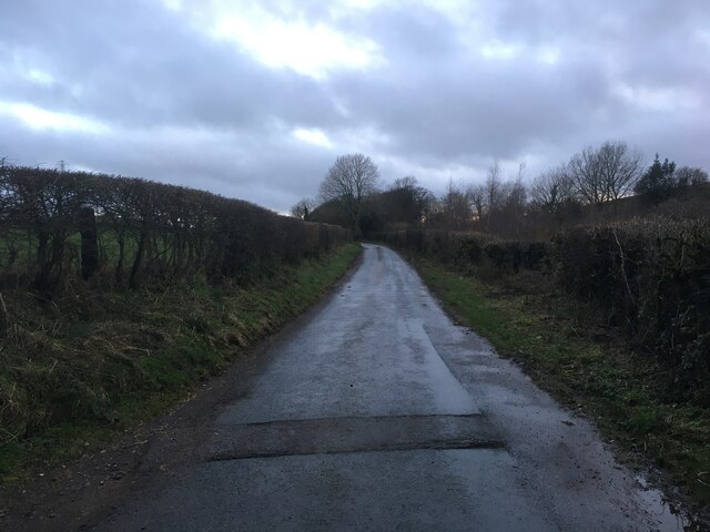
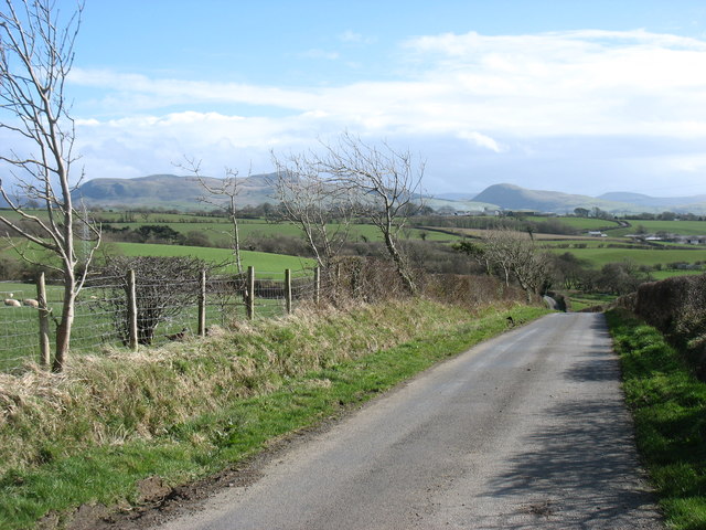
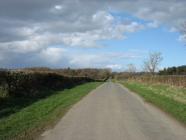
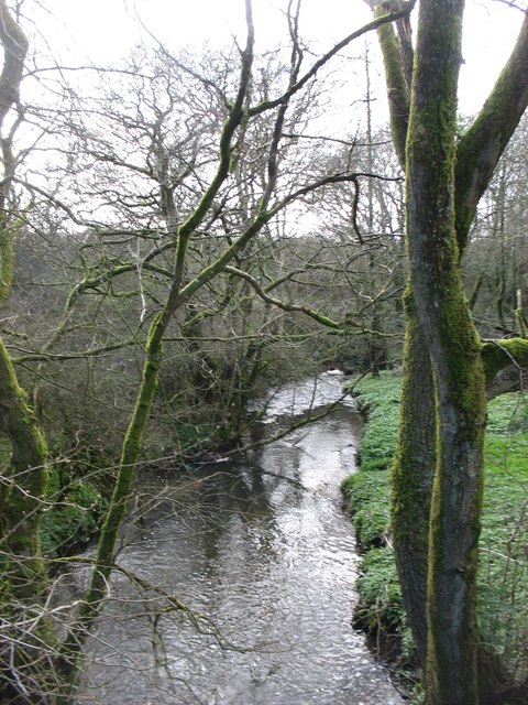
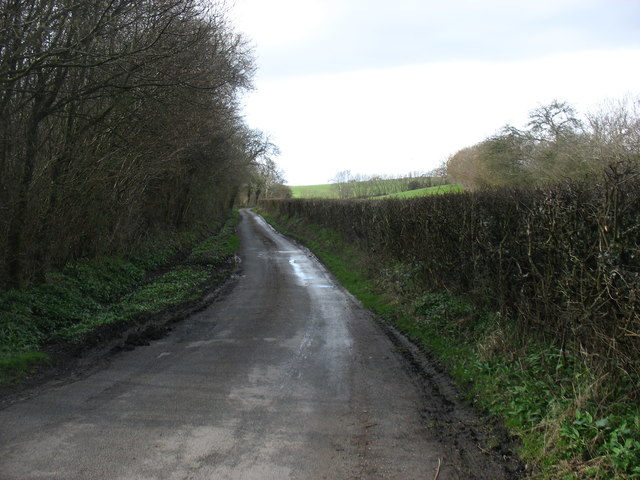
Cockshot Wood, located in Cumberland, is a picturesque woodland that covers a vast area of approximately 500 acres. Nestled in the northwestern region of England, this ancient forest is renowned for its natural beauty and rich biodiversity. The wood is predominantly made up of native tree species, including oak, ash, birch, and beech, which form a dense and enchanting canopy overhead.
With its diverse ecosystem, Cockshot Wood is a haven for wildlife enthusiasts and nature lovers alike. The forest provides a vital habitat for numerous animal species, including roe deer, red squirrels, badgers, and a wide variety of birdlife. Rare and endangered species have also been spotted within the wood, such as the elusive pine marten and the lesser spotted woodpecker.
Visitors to Cockshot Wood can explore its many walking trails and immerse themselves in the tranquil surroundings. The woodland offers a sense of tranquility and serenity, allowing visitors to escape the hustle and bustle of everyday life. The peaceful atmosphere and breathtaking scenery make it a popular destination for outdoor activities, including hiking, birdwatching, and photography.
Managed by the local forestry commission, Cockshot Wood is well-maintained and accessible to the public. The commission ensures the preservation of the woodland's natural heritage while also promoting sustainable forestry practices. In addition to its recreational and ecological value, the wood also serves as a carbon sink, helping to mitigate the effects of climate change by absorbing and storing carbon dioxide.
Overall, Cockshot Wood is a captivating and biodiverse forest that offers a glimpse into the natural wonders of Cumberland. Its stunning landscapes, diverse wildlife, and recreational opportunities make it a cherished destination for both locals and visitors seeking a connection with nature.
If you have any feedback on the listing, please let us know in the comments section below.
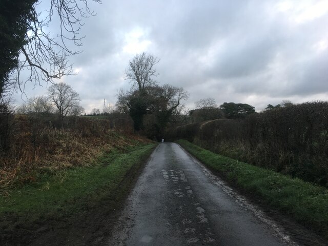
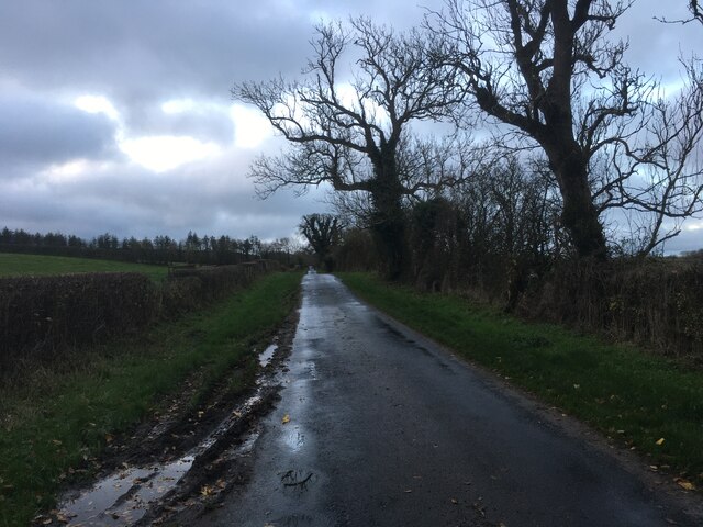
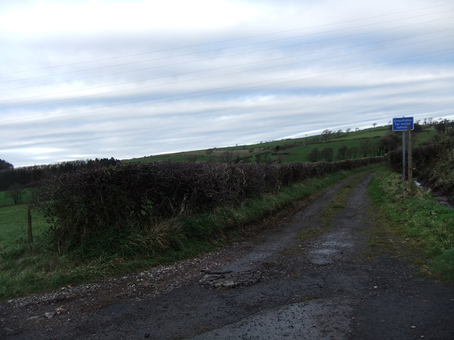
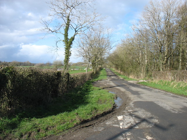
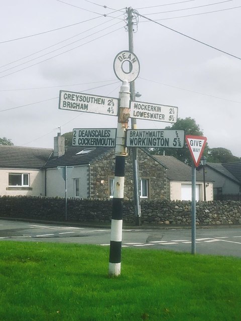
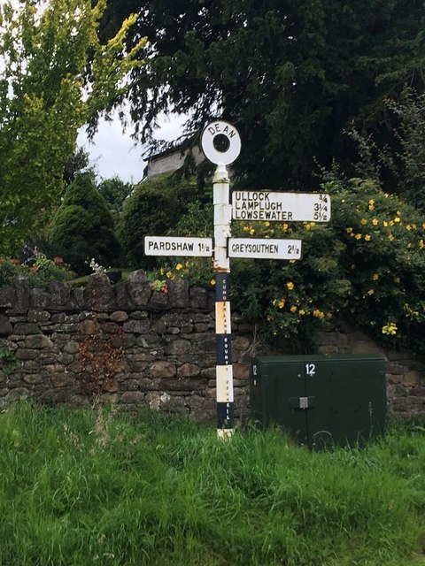
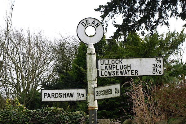
Cockshot Wood Images
Images are sourced within 2km of 54.61856/-3.4396265 or Grid Reference NY0725. Thanks to Geograph Open Source API. All images are credited.
Cockshot Wood is located at Grid Ref: NY0725 (Lat: 54.61856, Lng: -3.4396265)
Administrative County: Cumbria
District: Allerdale
Police Authority: Cumbria
What 3 Words
///steaming.midwinter.counts. Near Distington, Cumbria
Nearby Locations
Related Wikis
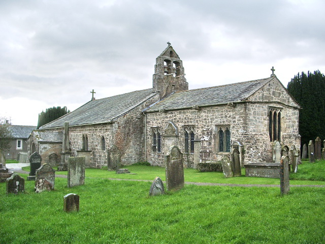
St Oswald's Church, Dean
St Oswald's Church is in the village of Dean, Cumbria, England. It is an active Anglican parish church in the deanery of Derwent, the archdeaconry of...
Dean, Cumbria
Dean is a village and civil parish in the county of Cumbria, England. Dean has a Church of England school, a church called St Oswald's. Nearby settlements...
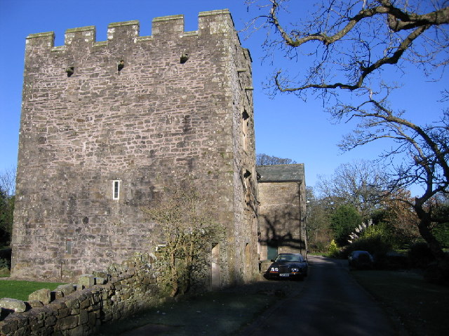
Branthwaite Hall
Branthwaite Hall is pele tower in Cumbria, England, considered by historian Anthony Emery to be "one of the best-preserved early houses in Cumbria"....
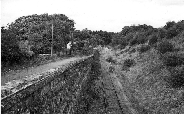
Branthwaite railway station
Branthwaite railway station was built by the Whitehaven, Cleator and Egremont Railway. It served the village of Branthwaite, Cumbria, England. == History... ==

Branthwaite
Branthwaite is a hamlet in Cumbria, England. The hamlet is approximately 5 mi (8 km) from Workington and 7 mi (11 km) from Cockermouth. It is located just...

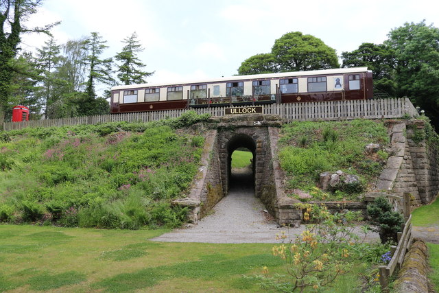
Ullock railway station
Ullock railway station was built by the Whitehaven, Cleator and Egremont Railway. It served the village of Ullock, Cumbria, England. == History == The...

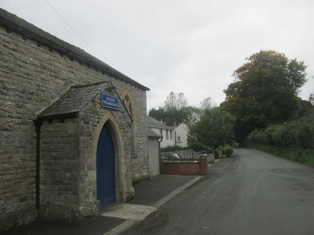
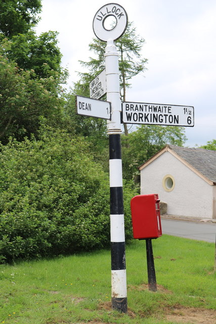
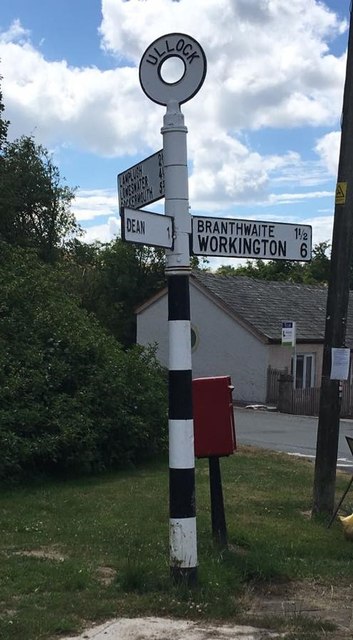
Ullock
Ullock is a village in Cumbria, England, located at National Grid reference NY076239, approximately 5 miles (8.0 km) south west of Cockermouth and 5.4...
Browtop
Browtop is a village in Cumbria, England. It is also an area of Keswick where Francis Galton stayed (In Galton's biography, Karl Pearson states that "Browtop...
Nearby Amenities
Located within 500m of 54.61856,-3.4396265Have you been to Cockshot Wood?
Leave your review of Cockshot Wood below (or comments, questions and feedback).