Step Hill
Hill, Mountain in Kirkcudbrightshire
Scotland
Step Hill
Step Hill is a prominent hill located in the region of Kirkcudbrightshire, Scotland. It is situated on the eastern side of the River Dee, near the town of Gatehouse of Fleet. With an elevation of approximately 305 meters (1,001 feet), Step Hill offers stunning panoramic views of the surrounding countryside.
The hill is characterized by its distinctive stepped appearance, which is believed to have been formed by a combination of glacial and geological processes. The layers of sedimentary rock that make up the hillside are clearly visible, creating a unique and picturesque landscape.
Step Hill is a popular destination for hikers and nature enthusiasts, thanks to its accessible trails and natural beauty. The hill is home to a diverse range of flora and fauna, including heather, gorse, and various bird species. During the summer months, the hillside comes alive with vibrant colors as wildflowers bloom.
The ascent to the summit of Step Hill is relatively straightforward, with well-maintained paths leading visitors to breathtaking views across the surrounding countryside. On a clear day, it is possible to see as far as the Galloway Hills and the Solway Firth.
Due to its location near Gatehouse of Fleet, Step Hill is easily accessible by car or public transportation. The hill's proximity to other attractions in the area, such as the Galloway Forest Park and the Solway Coast, makes it a popular stop for those exploring the region.
Overall, Step Hill in Kirkcudbrightshire offers a rewarding and picturesque hiking experience, with its unique stepped appearance and stunning views making it a must-visit destination for outdoor enthusiasts.
If you have any feedback on the listing, please let us know in the comments section below.
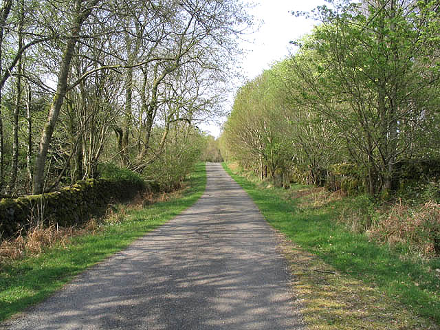
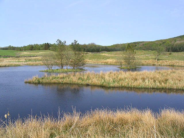
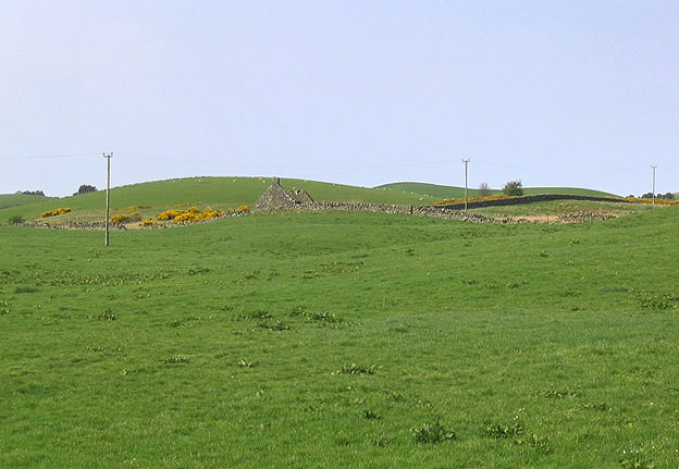
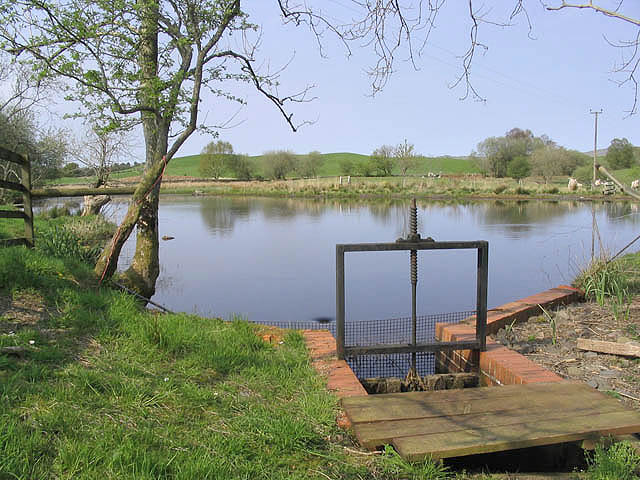
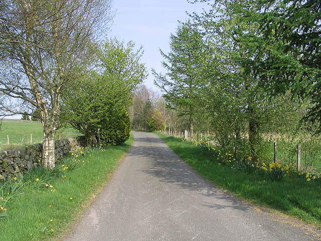
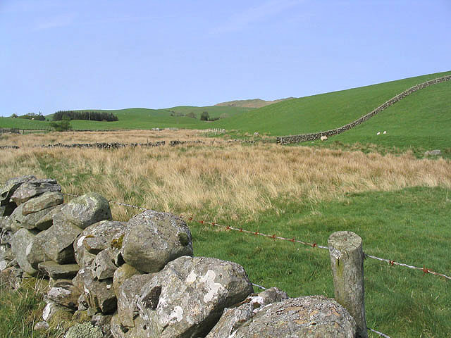
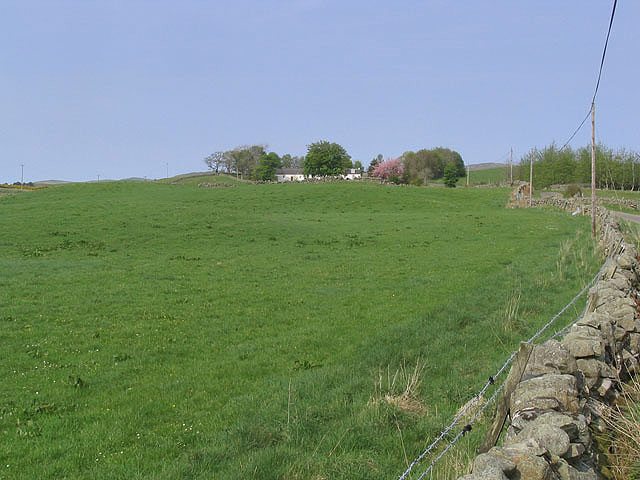
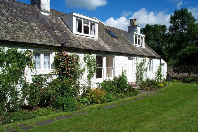
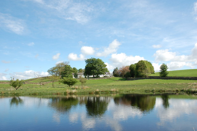
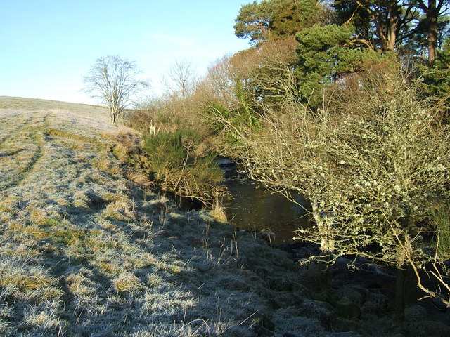
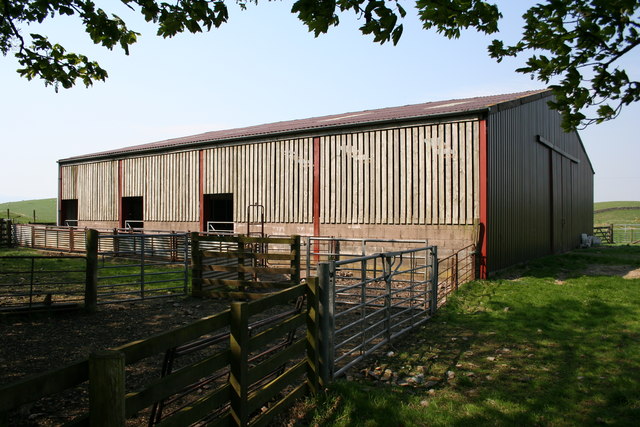
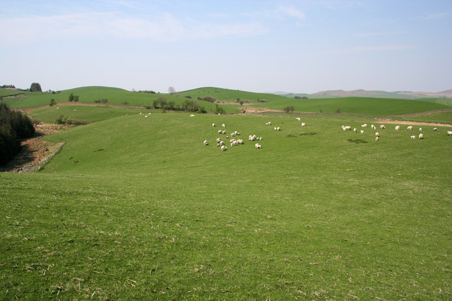
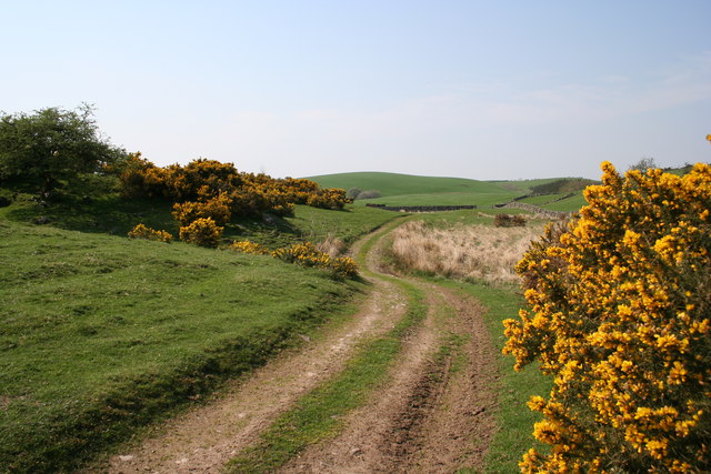
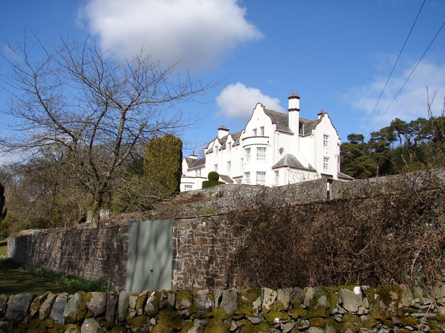
Step Hill Images
Images are sourced within 2km of 55.070683/-4.0785377 or Grid Reference NX6777. Thanks to Geograph Open Source API. All images are credited.
Step Hill is located at Grid Ref: NX6777 (Lat: 55.070683, Lng: -4.0785377)
Unitary Authority: Dumfries and Galloway
Police Authority: Dumfries and Galloway
What 3 Words
///pancakes.trump.major. Near Castle Douglas, Dumfries & Galloway
Nearby Locations
Related Wikis

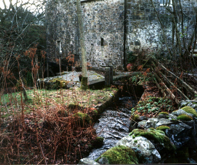
Ironmacannie Mill
Ironmacannie Mill is a historic watermill near Balmaclellan in Dumfries and Galloway, Scotland. Built in the 18th and 19th centuries, on the site of an...

Balmaclellan
Balmaclellan (Scottish Gaelic: Baile Mac-a-ghille-dhiolan, meaning town of the MacLellans) is a small hillside village of stone houses with slate roofs...

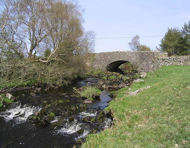
Ken Bridge
The Ken Bridge is a road bridge about 0.8 kilometres (0.5 mi) north east of New Galloway in Dumfries and Galloway, Scotland, which carries the A712 road...

Barscobe Castle
Barscobe Castle is a 17th-century tower house in Balmaclellan, Kirkcudbrightshire, Scotland. It is a typical house of a country laird, and according to...
Nearby Amenities
Located within 500m of 55.070683,-4.0785377Have you been to Step Hill?
Leave your review of Step Hill below (or comments, questions and feedback).