Mid Hill
Hill, Mountain in Kirkcudbrightshire
Scotland
Mid Hill
Mid Hill is a prominent hill located in the region of Kirkcudbrightshire, Scotland. Situated in the southern part of the country, it forms part of the Galloway Hills range, which is known for its stunning natural beauty and diverse wildlife. Standing at an elevation of approximately 600 meters (1,969 feet), it offers breathtaking panoramic views of the surrounding landscape.
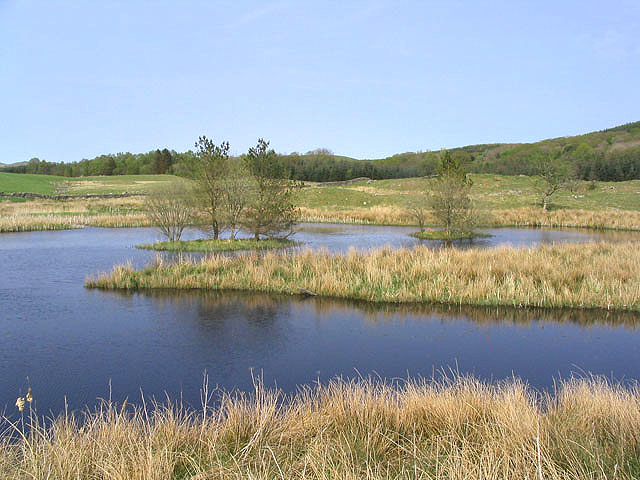
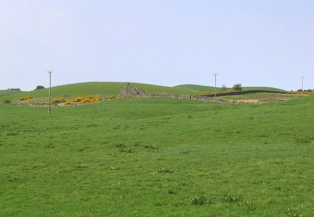
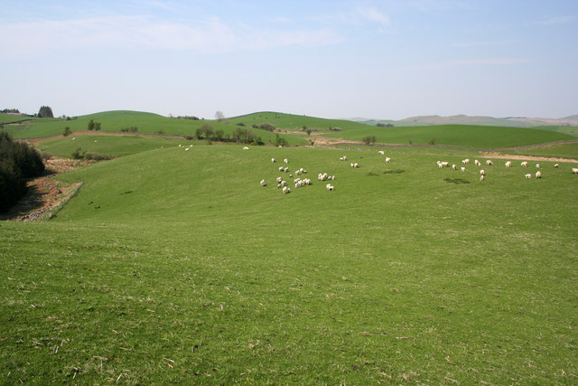
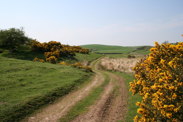
The hill is characterized by its gently sloping sides and a distinctive rounded summit. Its terrain mainly consists of heather moorland, interspersed with patches of grass and scattered boulders. The vegetation creates a vibrant tapestry of colors, particularly during the summer months when the heather blooms in shades of purple and pink.
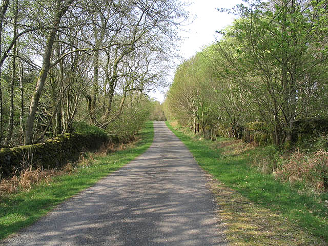
Mid Hill is a popular destination for outdoor enthusiasts, attracting hikers, walkers, and nature lovers from far and wide. Several well-marked trails lead to the summit, offering a range of difficulty levels to accommodate different abilities. The routes often pass through picturesque woodlands, providing an opportunity to spot local wildlife such as red deer, foxes, and various bird species.
For those seeking a more challenging adventure, Mid Hill can also be a starting point for longer hikes that traverse the wider Galloway Hills range. The hill's proximity to other peaks and valleys in the area allows for the creation of diverse and rewarding hiking itineraries.
In summary, Mid Hill in Kirkcudbrightshire is a captivating natural landmark, offering visitors a chance to immerse themselves in the picturesque Scottish countryside and experience the beauty of the Galloway Hills.
If you have any feedback on the listing, please let us know in the comments section below.
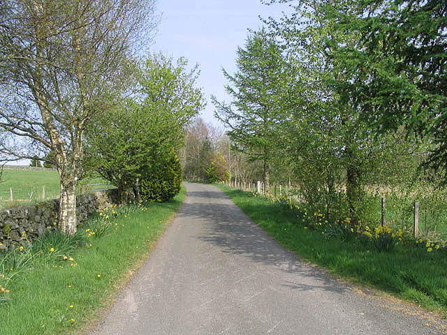
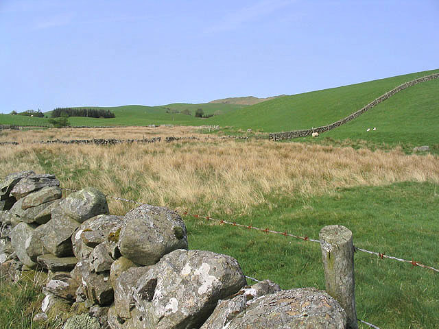
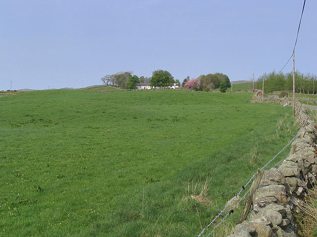
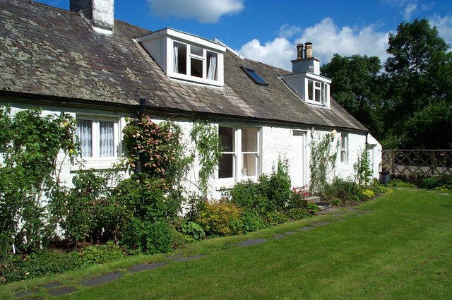
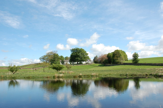
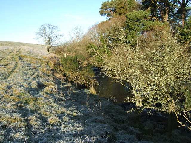
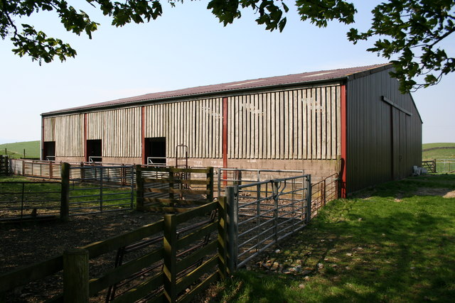
Mid Hill Images
Images are sourced within 2km of 55.070003/-4.0804916 or Grid Reference NX6777. Thanks to Geograph Open Source API. All images are credited.
Mid Hill is located at Grid Ref: NX6777 (Lat: 55.070003, Lng: -4.0804916)
Unitary Authority: Dumfries and Galloway
Police Authority: Dumfries and Galloway
What 3 Words
///washroom.exulted.happen. Near Castle Douglas, Dumfries & Galloway
Nearby Locations
Related Wikis

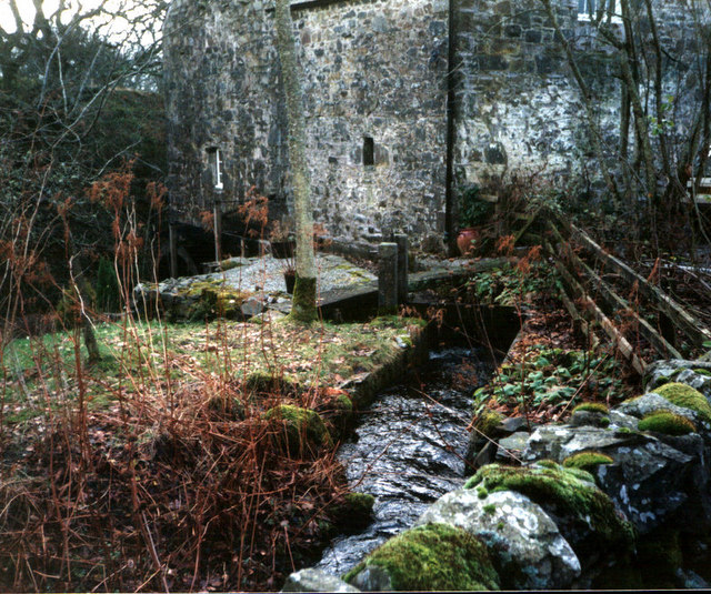
Ironmacannie Mill
Ironmacannie Mill is a historic watermill near Balmaclellan in Dumfries and Galloway, Scotland. Built in the 18th and 19th centuries, on the site of an...

Balmaclellan
Balmaclellan (Scottish Gaelic: Baile Mac-a-ghille-dhiolan, meaning town of the MacLellans) is a small hillside village of stone houses with slate roofs...

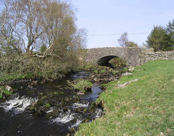
Ken Bridge
The Ken Bridge is a road bridge about 0.8 kilometres (0.5 mi) north east of New Galloway in Dumfries and Galloway, Scotland, which carries the A712 road...

New Galloway
New Galloway (Scottish Gaelic: Gall-Ghàidhealaibh Nuadh) is a town in the historical county of Kirkcudbrightshire in Dumfries and Galloway. It lies on...
Nearby Amenities
Located within 500m of 55.070003,-4.0804916Have you been to Mid Hill?
Leave your review of Mid Hill below (or comments, questions and feedback).