Ewanston Moor
Downs, Moorland in Kirkcudbrightshire
Scotland
Ewanston Moor
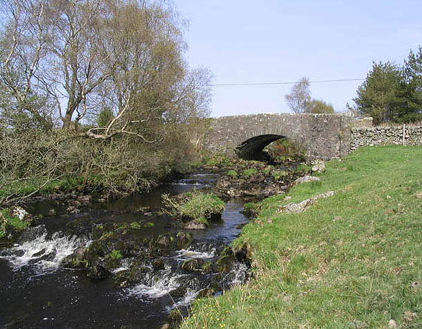
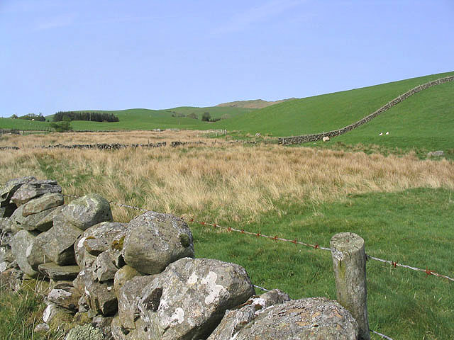
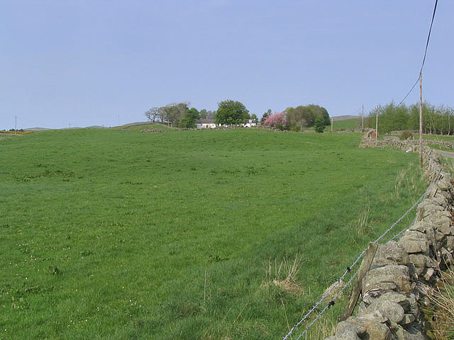
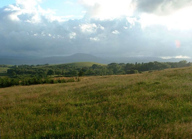
Ewanston Moor is a vast expanse of downs and moorland located in the picturesque region of Kirkcudbrightshire in Scotland. Stretching across several miles, this natural landscape offers visitors a unique and captivating experience.
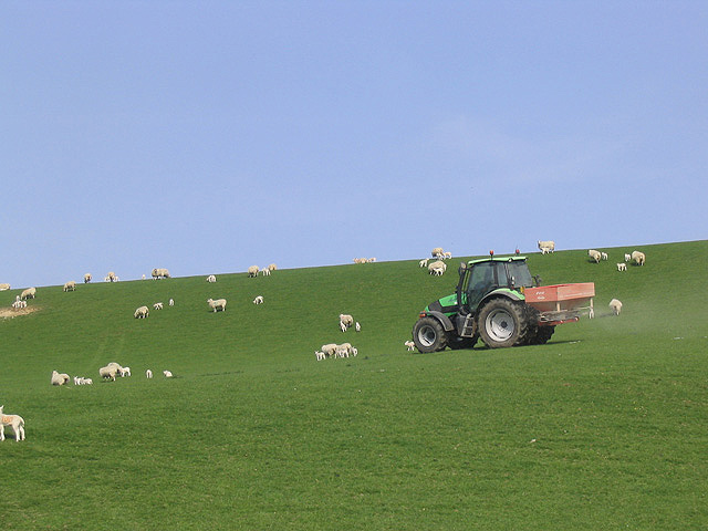
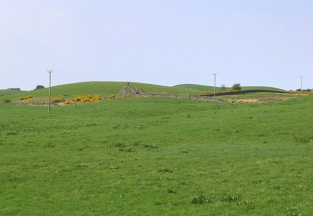
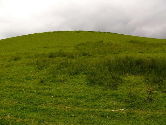
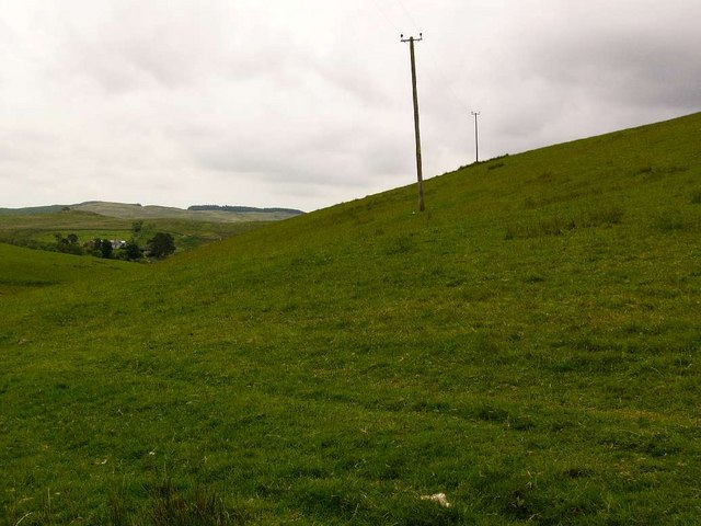
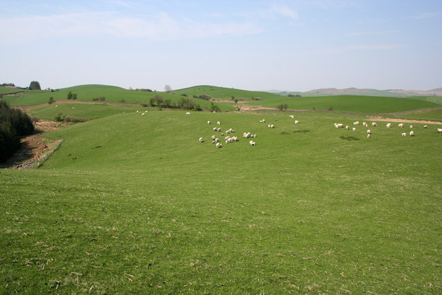
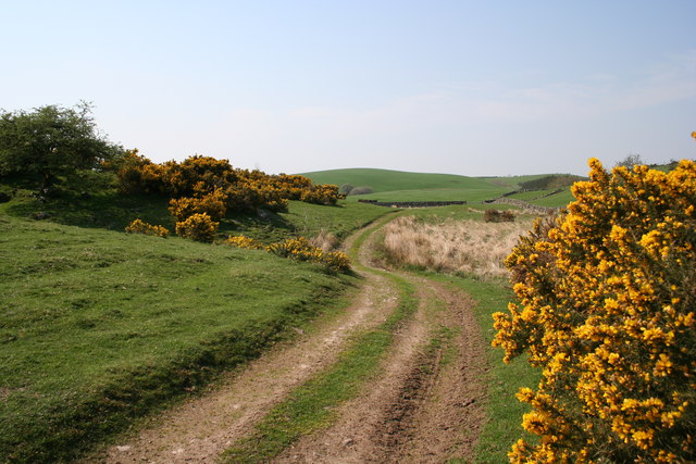
The moorland of Ewanston Moor is characterized by its rolling hills, open grasslands, and heather-covered slopes. The undulating terrain provides visitors with stunning panoramic views of the surrounding countryside, making it a popular destination for hikers, nature enthusiasts, and photographers alike.
The moorland is home to a diverse range of flora and fauna. The heather, in particular, dominates the landscape, painting the moorland in hues of purple during the summer months. Other vegetation, such as gorse and bracken, can also be found scattered across the moors.
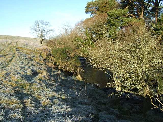
Ewanston Moor is also a haven for wildlife. Birdwatchers can spot various species of birds, including curlews, lapwings, and skylarks, soaring through the skies. The moorland is also home to small mammals, such as rabbits and hares, as well as the occasional deer.
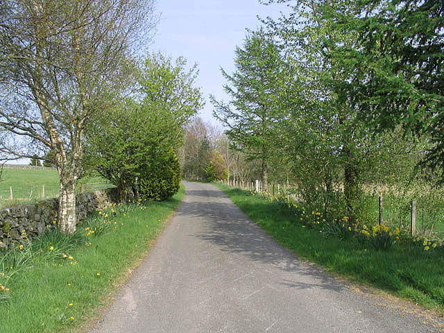
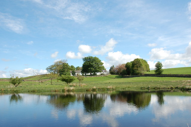
For those seeking solitude and tranquility, Ewanston Moor offers an ideal escape from the hustle and bustle of everyday life. Its remote location ensures a sense of peace and serenity, allowing visitors to immerse themselves in the natural beauty of the Scottish countryside.
Overall, Ewanston Moor is a remarkable landscape that showcases the raw beauty of Kirkcudbrightshire. With its stunning vistas, diverse wildlife, and serene atmosphere, it is a place that truly captivates the hearts of all who visit.
If you have any feedback on the listing, please let us know in the comments section below.
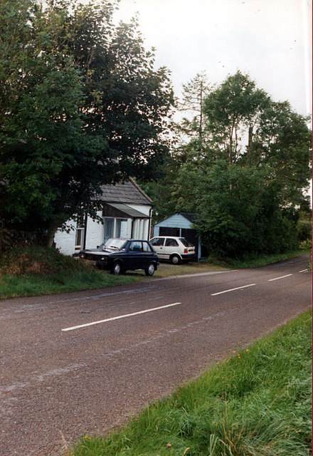
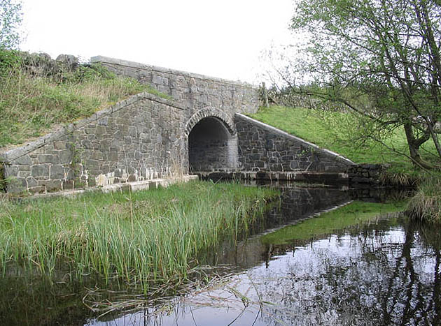
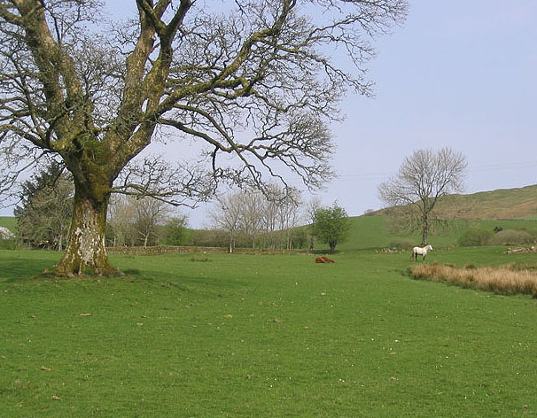
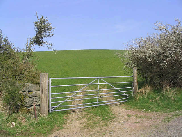
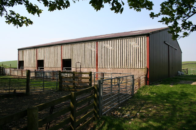
Ewanston Moor Images
Images are sourced within 2km of 55.077123/-4.0772424 or Grid Reference NX6777. Thanks to Geograph Open Source API. All images are credited.
Ewanston Moor is located at Grid Ref: NX6777 (Lat: 55.077123, Lng: -4.0772424)
Unitary Authority: Dumfries and Galloway
Police Authority: Dumfries and Galloway
What 3 Words
///kidney.vans.toddler. Near Castle Douglas, Dumfries & Galloway
Nearby Locations
Related Wikis

Balmaclellan
Balmaclellan (Scottish Gaelic: Baile Mac-a-ghille-dhiolan, meaning town of the MacLellans) is a small hillside village of stone houses with slate roofs...

Ironmacannie Mill
Ironmacannie Mill is a historic watermill near Balmaclellan in Dumfries and Galloway, Scotland. Built in the 18th and 19th centuries, on the site of an...

Barscobe Castle
Barscobe Castle is a 17th-century tower house in Balmaclellan, Kirkcudbrightshire, Scotland. It is a typical house of a country laird, and according to...

Ken Bridge
The Ken Bridge is a road bridge about 0.8 kilometres (0.5 mi) north east of New Galloway in Dumfries and Galloway, Scotland, which carries the A712 road...

New Galloway
New Galloway (Scottish Gaelic: Gall-Ghàidhealaibh Nuadh) is a town in the historical county of Kirkcudbrightshire in Dumfries and Galloway. It lies on...

New Galloway Town Hall
The New Galloway Town Hall is a municipal building in Dumfries and Galloway, Scotland, situated on the town's high street. A tolbooth has existed on the...

Kenmure Castle
Kenmure Castle is a fortified house or castle in The Glenkens, 1 mile (1.6 km) south of the town of New Galloway in Kirkcudbrightshire, Galloway, south...

Kells, Dumfries and Galloway
Kells parish, in the Stewartry of Kirkcudbright in Scotland, is located 14 miles (NWbN) from Castle-Douglas, and 19 miles (NbW) from Kirkcudbright. It...
Nearby Amenities
Located within 500m of 55.077123,-4.0772424Have you been to Ewanston Moor?
Leave your review of Ewanston Moor below (or comments, questions and feedback).