Peat Hill
Hill, Mountain in Kirkcudbrightshire
Scotland
Peat Hill
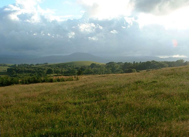
Peat Hill is a prominent hill located in the historic county of Kirkcudbrightshire, Scotland. Situated in the southern part of the country, Peat Hill is part of the Galloway Hills range, which is known for its stunning natural beauty and diverse wildlife.
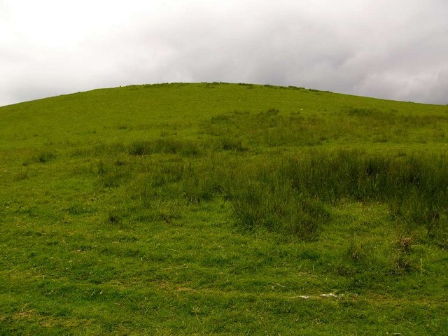
Standing at an elevation of approximately 484 meters (1,588 feet), Peat Hill offers breathtaking panoramic views of the surrounding countryside. Its distinctive shape and rugged terrain make it a popular destination for hikers, mountaineers, and nature enthusiasts.
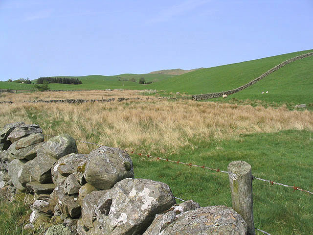
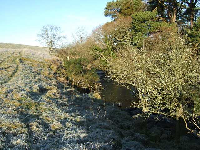
The hill is primarily composed of granite, which gives it a unique appearance and contributes to its durability against erosion. The slopes of Peat Hill are covered in heather, grasses, and mosses, creating a colorful tapestry of vegetation that changes with the seasons.
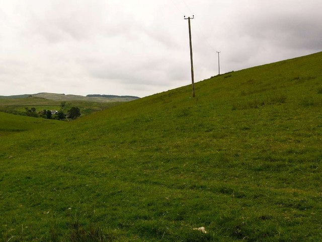
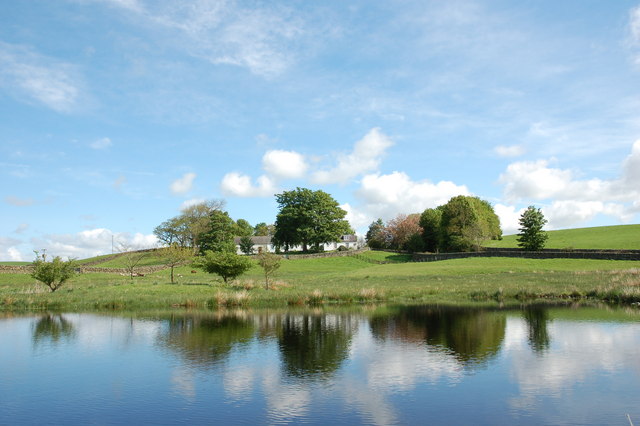
The summit of Peat Hill provides a commanding view of the surrounding landscape, including nearby lochs, valleys, and hills. On a clear day, it is even possible to catch a glimpse of the Irish Sea in the distance.
The area surrounding Peat Hill is home to a variety of wildlife, including red deer, mountain hares, and various bird species. The hill is also known for its rich archaeological history, with remnants of ancient settlements and burial sites dating back thousands of years.
Whether it's for a challenging hike, a peaceful picnic, or simply to enjoy the natural beauty of the Scottish countryside, Peat Hill in Kirkcudbrightshire offers a memorable experience for visitors of all ages.
If you have any feedback on the listing, please let us know in the comments section below.
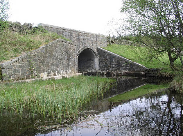
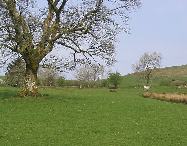
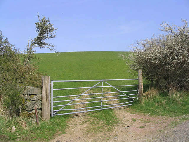
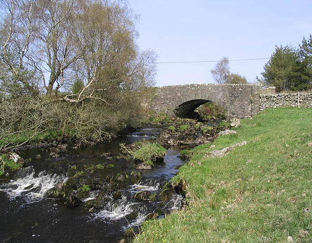
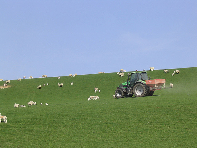
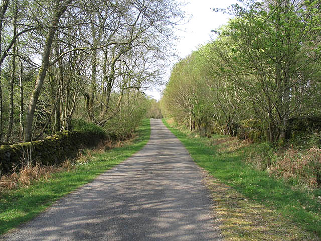
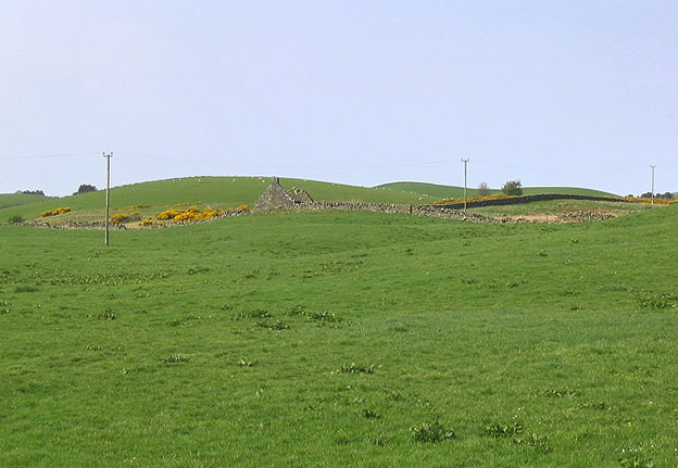
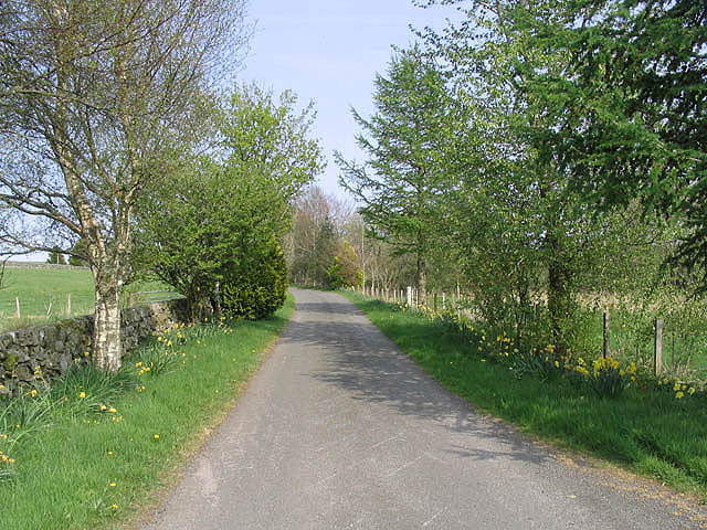
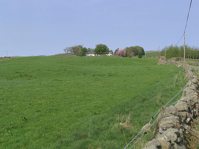
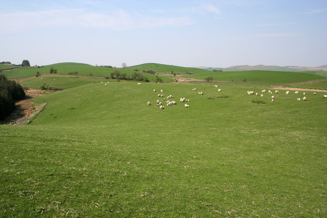
Peat Hill Images
Images are sourced within 2km of 55.076612/-4.0713883 or Grid Reference NX6777. Thanks to Geograph Open Source API. All images are credited.

Peat Hill is located at Grid Ref: NX6777 (Lat: 55.076612, Lng: -4.0713883)
Unitary Authority: Dumfries and Galloway
Police Authority: Dumfries and Galloway
What 3 Words
///distorts.perky.burden. Near Castle Douglas, Dumfries & Galloway
Nearby Locations
Related Wikis

Ironmacannie Mill
Ironmacannie Mill is a historic watermill near Balmaclellan in Dumfries and Galloway, Scotland. Built in the 18th and 19th centuries, on the site of an...

Balmaclellan
Balmaclellan (Scottish Gaelic: Baile Mac-a-ghille-dhiolan, meaning town of the MacLellans) is a small hillside village of stone houses with slate roofs...

Barscobe Castle
Barscobe Castle is a 17th-century tower house in Balmaclellan, Kirkcudbrightshire, Scotland. It is a typical house of a country laird, and according to...

Ken Bridge
The Ken Bridge is a road bridge about 0.8 kilometres (0.5 mi) north east of New Galloway in Dumfries and Galloway, Scotland, which carries the A712 road...

New Galloway
New Galloway (Scottish Gaelic: Gall-Ghàidhealaibh Nuadh) is a town in the historical county of Kirkcudbrightshire in Dumfries and Galloway. It lies on...

New Galloway Town Hall
The New Galloway Town Hall is a municipal building in Dumfries and Galloway, Scotland, situated on the town's high street. A tolbooth has existed on the...

Kenmure Castle
Kenmure Castle is a fortified house or castle in The Glenkens, 1 mile (1.6 km) south of the town of New Galloway in Kirkcudbrightshire, Galloway, south...

Kells, Dumfries and Galloway
Kells parish, in the Stewartry of Kirkcudbright in Scotland, is located 14 miles (NWbN) from Castle-Douglas, and 19 miles (NbW) from Kirkcudbright. It...
Nearby Amenities
Located within 500m of 55.076612,-4.0713883Have you been to Peat Hill?
Leave your review of Peat Hill below (or comments, questions and feedback).