Barochan Hill
Hill, Mountain in Renfrewshire
Scotland
Barochan Hill
Barochan Hill is a prominent hill located in Renfrewshire, Scotland. Rising to an elevation of 401 meters (1,316 feet), it is considered one of the highest points in the county. The hill is situated near the village of Houston, approximately 14 kilometers (9 miles) west of the town of Paisley.
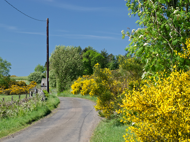
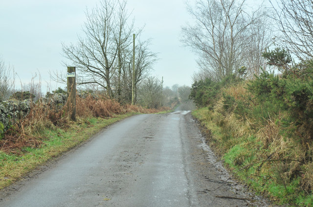
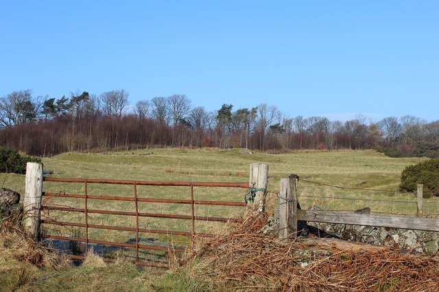
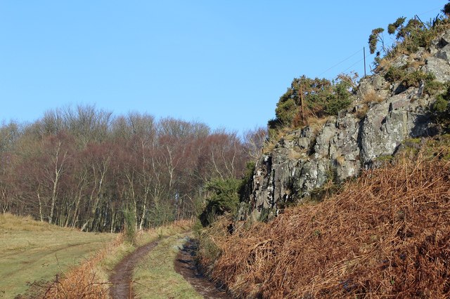
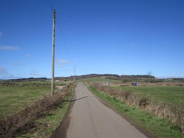
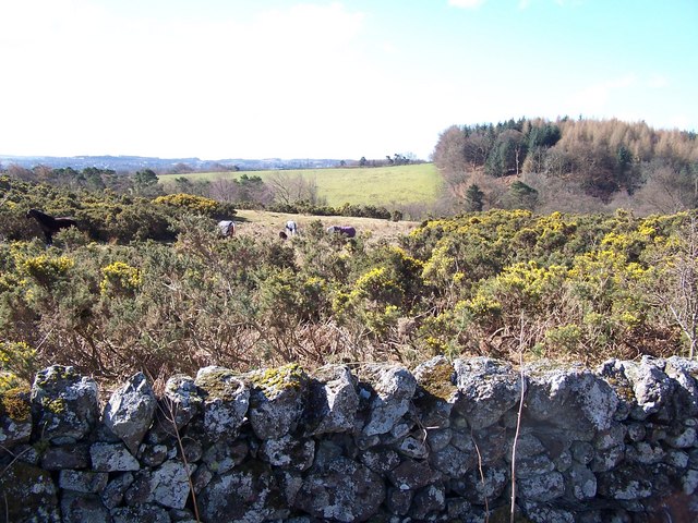
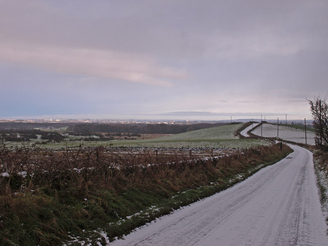
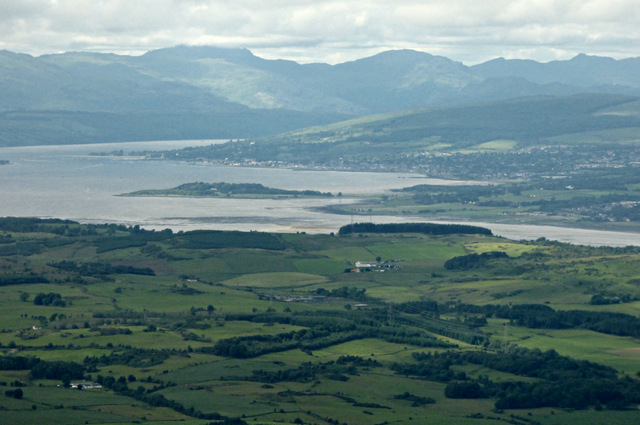
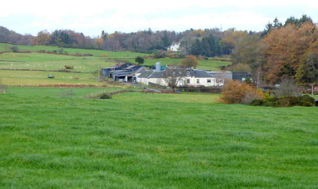
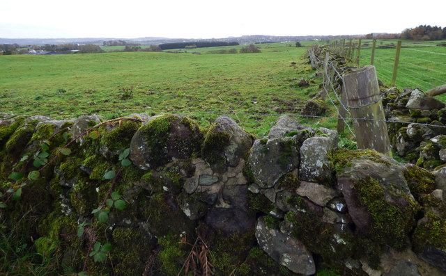
The landscape surrounding Barochan Hill is characterized by rolling hills and lush greenery, offering breathtaking views of the surrounding countryside. The hill itself is covered in a mix of heather, grasses, and patches of woodland, creating a diverse and picturesque environment. On a clear day, visitors can enjoy panoramic vistas stretching as far as the Clyde Estuary and the distant hills of Argyll.
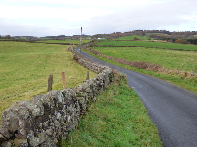
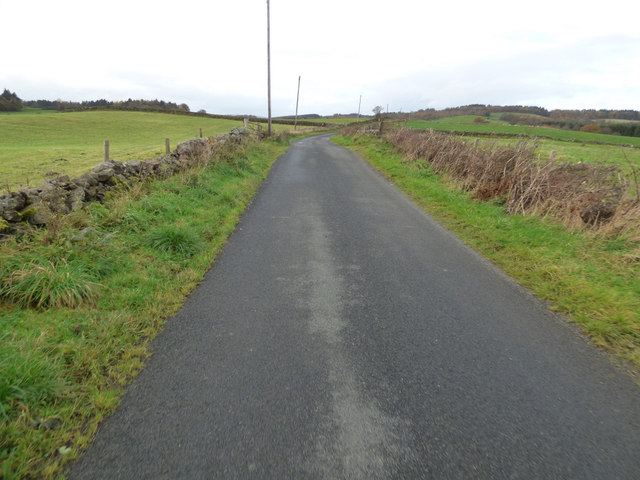
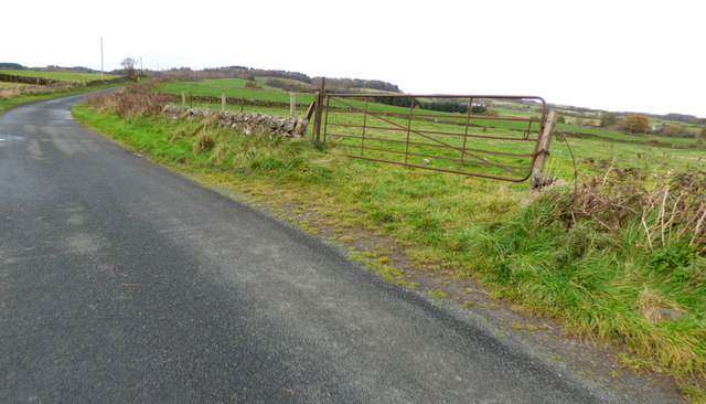
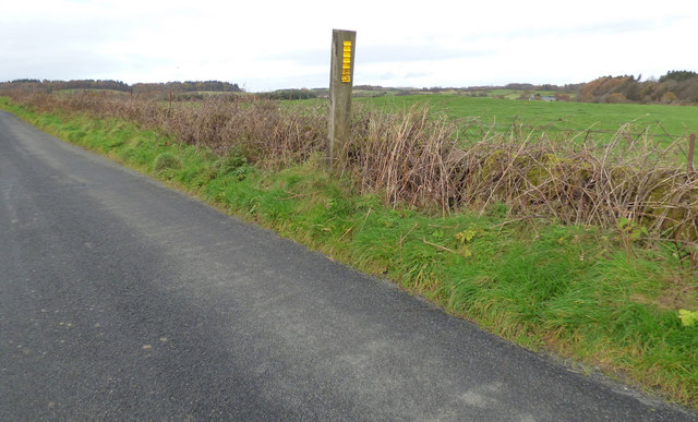
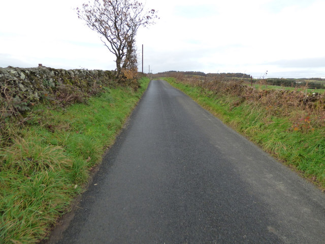
Barochan Hill is a popular destination for hikers and nature enthusiasts, offering a variety of walking trails and paths that cater to different abilities. The main trail to the summit is well-marked and relatively gentle, making it accessible to both experienced hikers and beginners. Along the way, walkers may encounter a range of wildlife, including red deer, rabbits, and various bird species.
The hill is also home to the historic Barochan Cross, a 10th-century stone cross that stands as a testament to the area's rich history. The cross is adorned with intricate carvings, depicting scenes from the Bible and Celtic knotwork. It serves as a reminder of the hill's significance as a place of spiritual and cultural importance.
Overall, Barochan Hill offers visitors a chance to immerse themselves in Scotland's natural beauty while exploring its rich heritage. Whether it's a leisurely stroll or a more challenging hike, this hill provides a rewarding experience for all who venture to its summit.
If you have any feedback on the listing, please let us know in the comments section below.
Barochan Hill Images
Images are sourced within 2km of 55.888532/-4.5389461 or Grid Reference NS4169. Thanks to Geograph Open Source API. All images are credited.
Barochan Hill is located at Grid Ref: NS4169 (Lat: 55.888532, Lng: -4.5389461)
Unitary Authority: Renfrewshire
Police Authority: Renfrewshire and Inverclyde
What 3 Words
///lighters.monitors.invents. Near Houston, Renfrewshire
Nearby Locations
Related Wikis

St Peter's Well, Houston
St Peter's Well is a rare surviving example of a holy well house or covered well that was built over the waters of a spring in a field below Greenhill...

Houston House, Renfrewshire
Houston House is an 18th-century mansion, about 1 mile (1.6 km) north and east of Bridge of Weir, Renfrewshire, Scotland, north of the village of Houston...

Formakin House
Formakin House is an early 20th-century mansion and estate in Renfrewshire, Scotland. It is located 2 kilometres (1.2 mi) south of the Firth of Clyde,...

Houston and Killellan
Houston and Killellan is a civil parish in the county and council area of Renfrewshire in the west central Lowlands of Scotland. It contains the villages...
Strathgryffe
Strathgryffe or Gryffe Valley (Scottish Gaelic: Srath Ghriobhaidh) is the strath of River Gryffe, which lies within the historic county of Renfrewshire...

Houston, Renfrewshire
Houston ( HOO-stən; Scots: Houstoun), is a village in the council area of Renfrewshire and the larger historic county of the same name in the west central...

ROF Bishopton
The Royal Ordnance Factory was a WW2 Ministry of Supply Explosive Factory. It is sited adjacent to the village of Bishopton in Renfrewshire, Scotland....

Gryffe High School
Gryffe High School is a comprehensive state secondary school in Houston, Renfrewshire. Founded in 1980 and subsequently expanded, the school had a roll...
Nearby Amenities
Located within 500m of 55.888532,-4.5389461Have you been to Barochan Hill?
Leave your review of Barochan Hill below (or comments, questions and feedback).