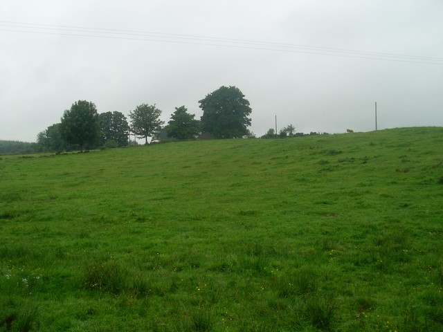
Northbrae Plantation
Wood, Forest in Renfrewshire
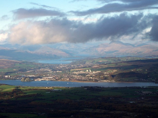
Scotland
Northbrae Plantation
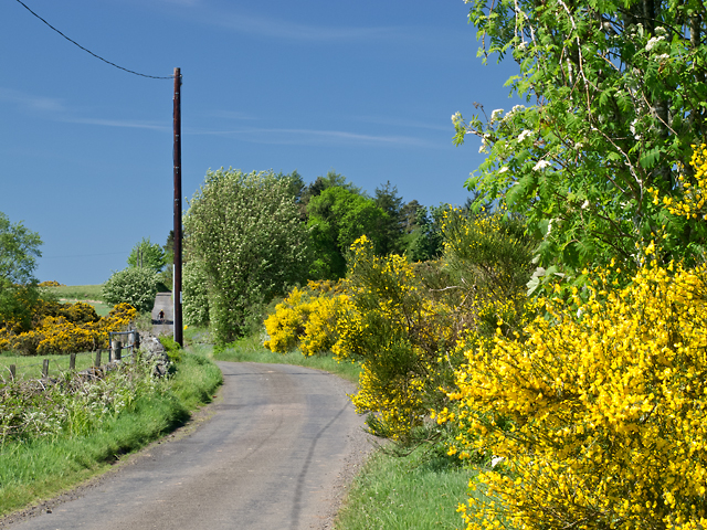
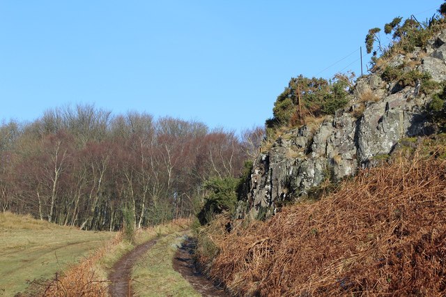
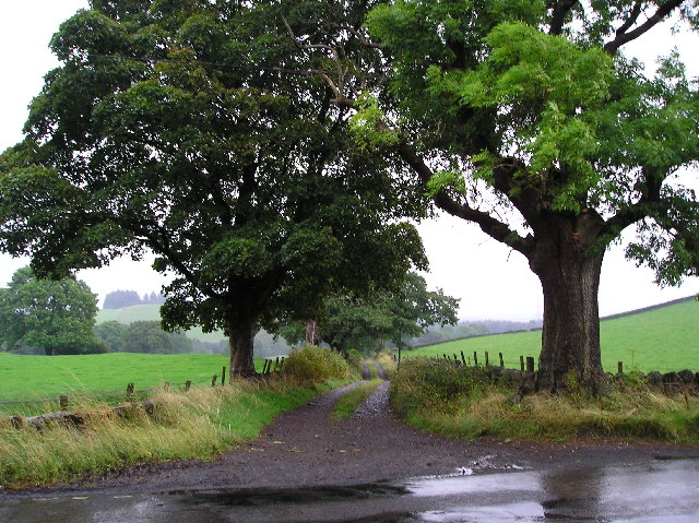
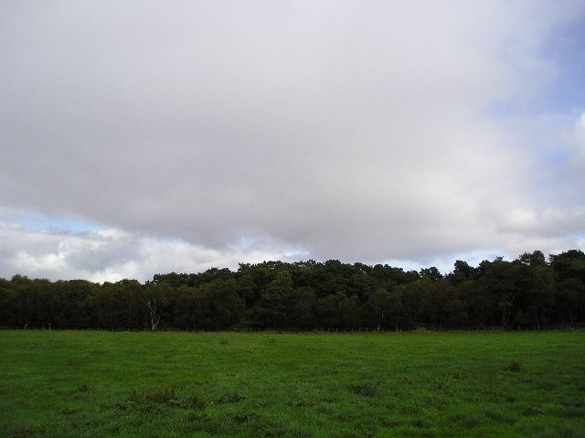
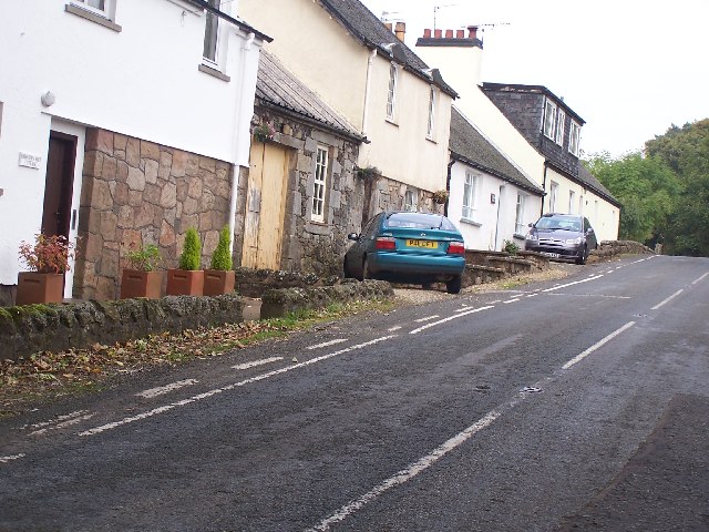
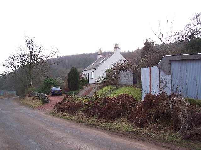
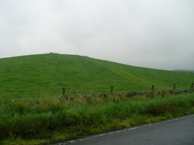
Northbrae Plantation is a picturesque woodland located in Renfrewshire, Scotland. Spread across a vast area, it is a haven for nature lovers and outdoor enthusiasts. The plantation is nestled within the scenic landscape of the Renfrewshire countryside, offering a tranquil escape from the hustle and bustle of city life.
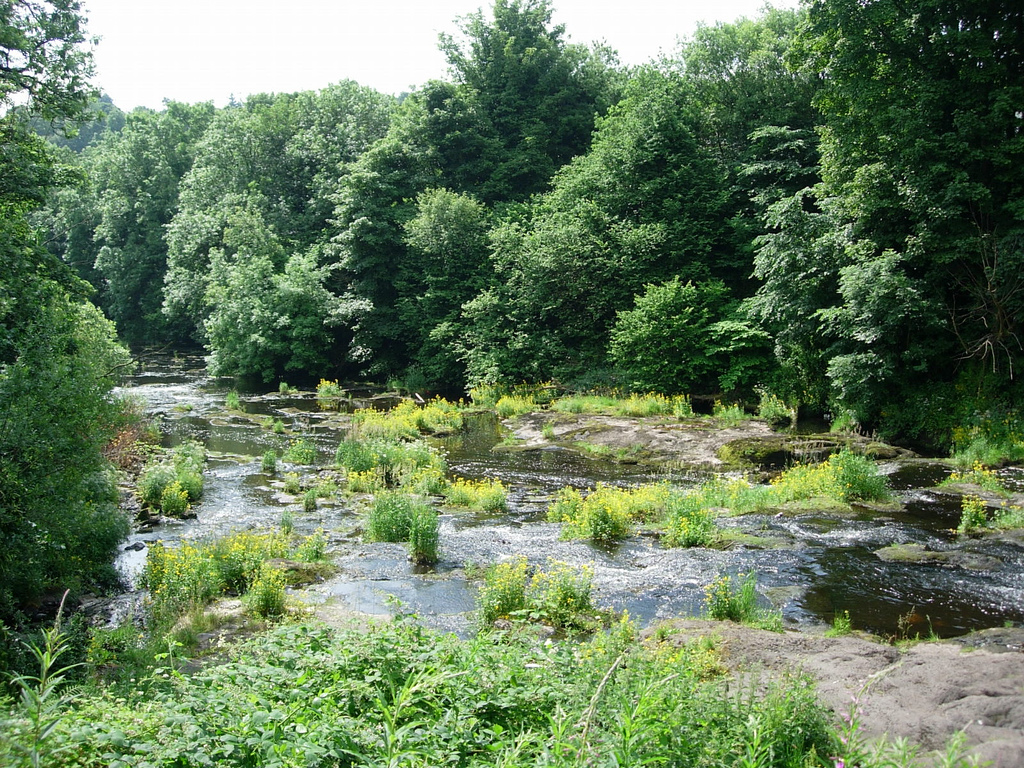
The woodland is characterized by its dense forest of tall trees, predominantly consisting of native Scottish species such as oak, birch, and pine. The thick canopy provides a cool and shaded environment, perfect for leisurely strolls or picnics on warm summer days. The forest floor is adorned with a diverse range of flora, including wildflowers, ferns, and mosses, creating a vibrant and enchanting ambiance.
Northbrae Plantation is also home to a variety of wildlife, making it a popular spot for birdwatching and animal spotting. Visitors can often catch glimpses of native birds, such as woodpeckers, owls, and finches, flitting between the branches. Squirrels, rabbits, and deer are also known to roam the woodland, adding to its natural charm.
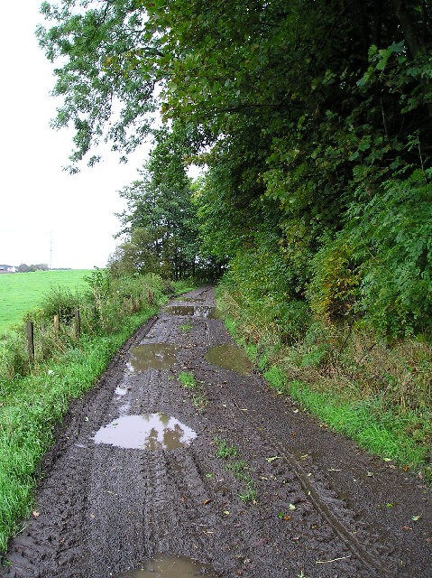
The plantation offers several well-marked walking trails, enabling visitors to explore the woodland at their own pace. These trails vary in difficulty and length, catering to both casual walkers and more experienced hikers. Additionally, there are designated areas for outdoor activities such as camping, fishing, and nature photography.
Overall, Northbrae Plantation is a captivating destination for those seeking solace in nature. Its lush forests, abundant wildlife, and serene atmosphere make it an ideal retreat for anyone looking to immerse themselves in the beauty of the Scottish countryside.
If you have any feedback on the listing, please let us know in the comments section below.
Northbrae Plantation Images
Images are sourced within 2km of 55.893602/-4.5354225 or Grid Reference NS4169. Thanks to Geograph Open Source API. All images are credited.

Northbrae Plantation is located at Grid Ref: NS4169 (Lat: 55.893602, Lng: -4.5354225)
Unitary Authority: Renfrewshire
Police Authority: Renfrewshire and Inverclyde
What 3 Words
///optimists.woof.noise. Near Bishopton, Renfrewshire
Nearby Locations
Related Wikis

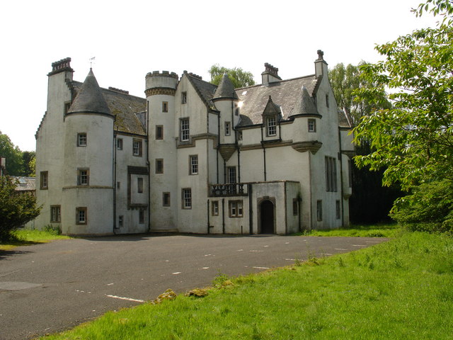
Formakin House
Formakin House is an early 20th-century mansion and estate in Renfrewshire, Scotland. It is located 2 kilometres (1.2 mi) south of the Firth of Clyde,...

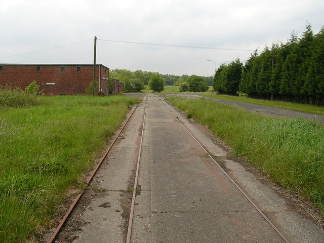
ROF Bishopton
The Royal Ordnance Factory was a WW2 Ministry of Supply Explosive Factory. It is sited adjacent to the village of Bishopton in Renfrewshire, Scotland....

St Peter's Well, Houston
St Peter's Well is a rare surviving example of a holy well house or covered well that was built over the waters of a spring in a field below Greenhill...

Bishopton railway station
Bishopton railway station serves the village of Bishopton in Renfrewshire, Scotland. The station is on the Inverclyde line, 13 miles (21 km) west of Glasgow...

Houston House, Renfrewshire
Houston House is an 18th-century mansion, about 1 mile (1.6 km) north and east of Bridge of Weir, Renfrewshire, Scotland, north of the village of Houston...
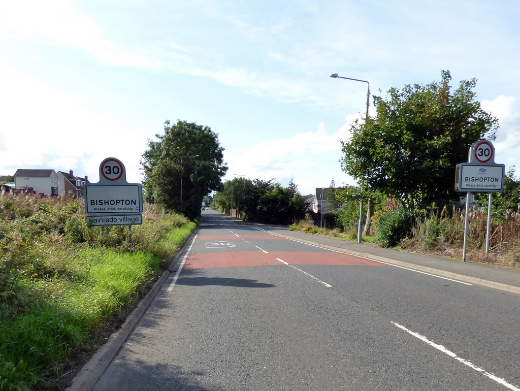
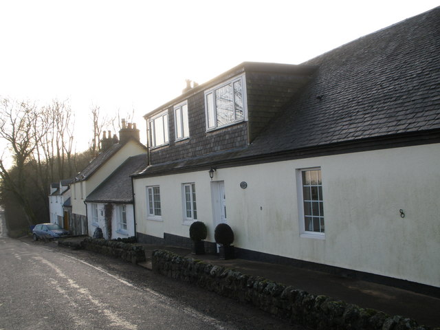
Bishopton, Renfrewshire
Bishopton (/bɪʃəptən/) (Scots: Bishoptoun; Scottish Gaelic: Baile an Easbaig) is a village in Renfrewshire, Scotland. It is located around 2 miles (3 km...

Houston and Killellan
Houston and Killellan is a civil parish in the county and council area of Renfrewshire in the west central Lowlands of Scotland. It contains the villages...
Strathgryffe
Strathgryffe or Gryffe Valley (Scottish Gaelic: Srath Ghriobhaidh) is the strath of River Gryffe, which lies within the historic county of Renfrewshire...
Nearby Amenities
Located within 500m of 55.893602,-4.5354225Have you been to Northbrae Plantation?
Leave your review of Northbrae Plantation below (or comments, questions and feedback).