North Brae
Wood, Forest in Renfrewshire
Scotland
North Brae
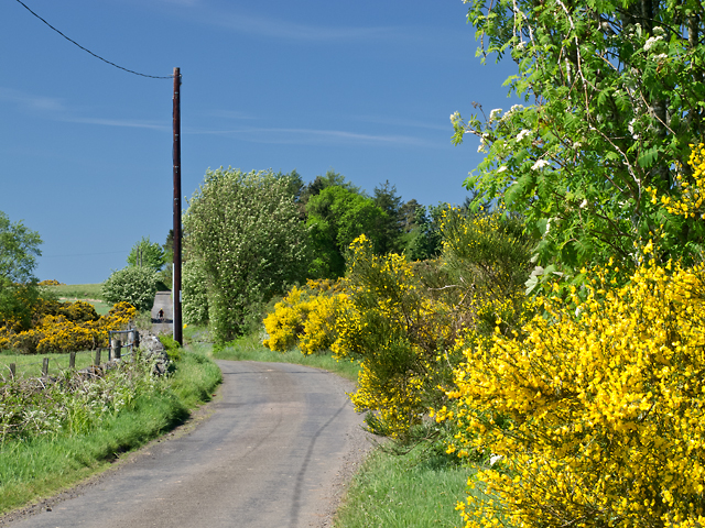
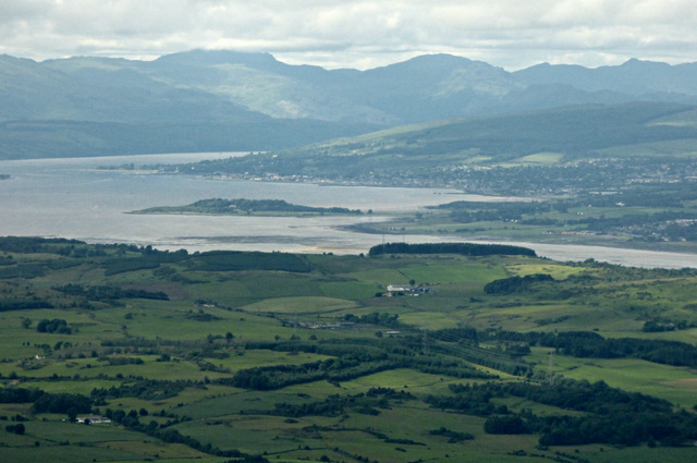
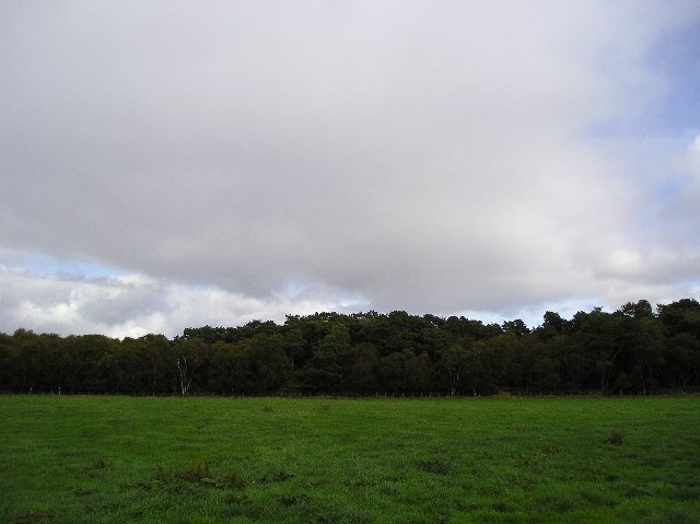
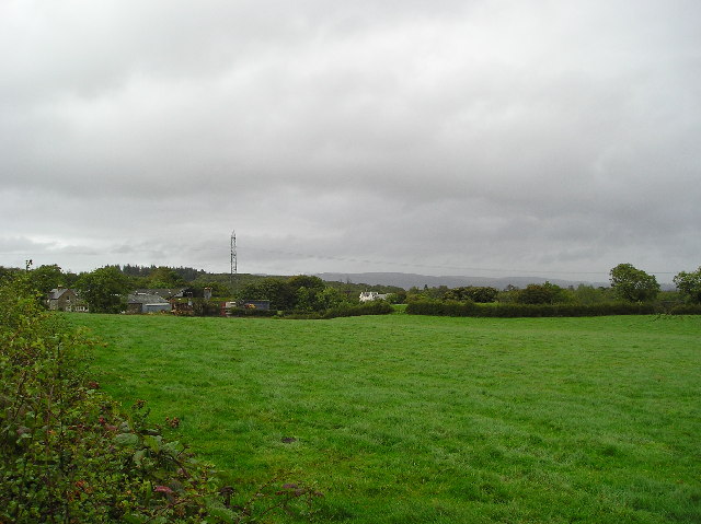
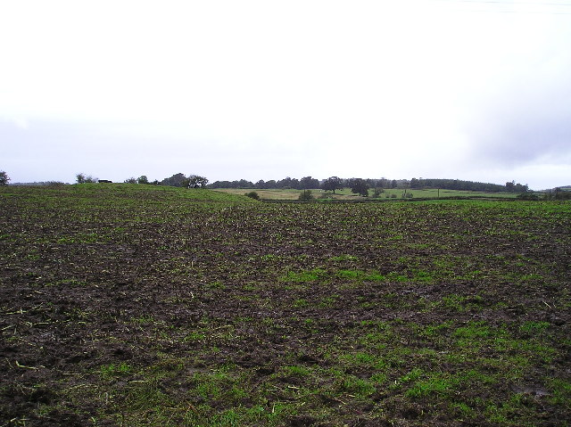
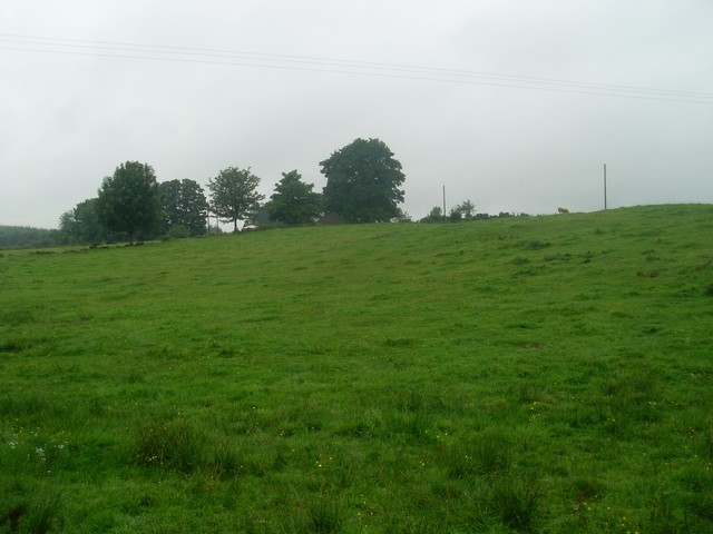
North Brae is a charming wooded area located in Renfrewshire, Scotland. It is situated in close proximity to the town of Paisley and enjoys a tranquil setting amidst lush greenery and rolling hills. The area is renowned for its dense forest, which is predominantly comprised of various species of native trees, including Scots pine, birch, and oak.
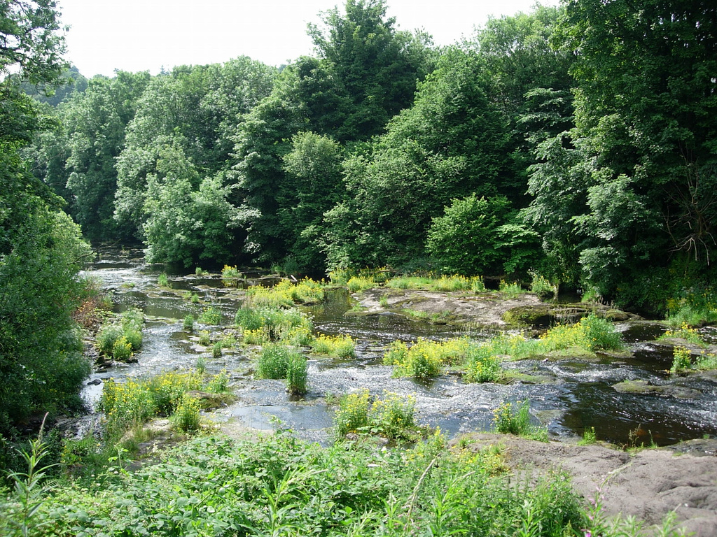
Covering an approximate area of 100 acres, North Brae offers a haven for nature enthusiasts and outdoor lovers. It is home to an abundance of wildlife, including deer, squirrels, and a rich variety of bird species. The forest provides a natural habitat for these creatures and serves as a vital ecosystem for the region.
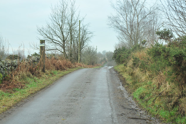
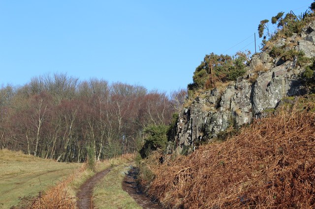
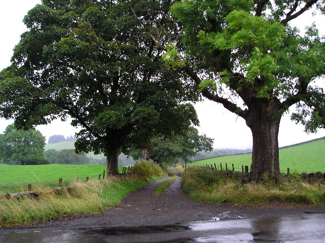
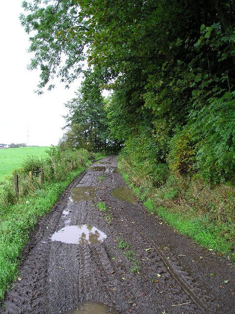
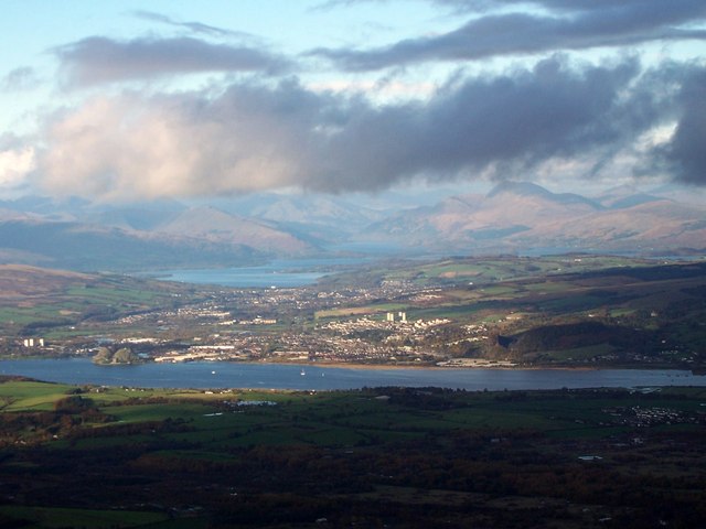
The woodland is crisscrossed with a network of well-maintained trails, making it a popular destination for hikers, walkers, and runners. These paths wind through the forest, offering visitors the opportunity to explore the area's natural beauty while enjoying serene surroundings. Along the way, there are numerous viewpoints that provide breathtaking vistas of the surrounding countryside, including panoramic views of the nearby Clyde Valley.
North Brae also boasts a picnic area, complete with benches and tables, where visitors can relax and enjoy a leisurely meal amidst the peaceful ambience of the woodland. The area is well-maintained by local authorities, ensuring that it remains pristine and accessible to all.
Overall, North Brae is a picturesque forest in Renfrewshire, offering visitors a chance to immerse themselves in nature's tranquility and enjoy the beauty of the Scottish countryside.
If you have any feedback on the listing, please let us know in the comments section below.
North Brae Images
Images are sourced within 2km of 55.894033/-4.5371782 or Grid Reference NS4169. Thanks to Geograph Open Source API. All images are credited.

North Brae is located at Grid Ref: NS4169 (Lat: 55.894033, Lng: -4.5371782)
Unitary Authority: Renfrewshire
Police Authority: Renfrewshire and Inverclyde
What 3 Words
///comically.stunner.foremost. Near Bishopton, Renfrewshire
Nearby Locations
Related Wikis

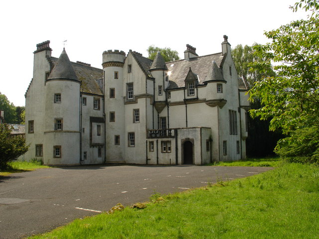
Formakin House
Formakin House is an early 20th-century mansion and estate in Renfrewshire, Scotland. It is located 2 kilometres (1.2 mi) south of the Firth of Clyde,...

ROF Bishopton
The Royal Ordnance Factory was a WW2 Ministry of Supply Explosive Factory. It is sited adjacent to the village of Bishopton in Renfrewshire, Scotland....

St Peter's Well, Houston
St Peter's Well is a rare surviving example of a holy well house or covered well that was built over the waters of a spring in a field below Greenhill...

Bishopton railway station
Bishopton railway station serves the village of Bishopton in Renfrewshire, Scotland. The station is on the Inverclyde line, 13 miles (21 km) west of Glasgow...

Houston House, Renfrewshire
Houston House is an 18th-century mansion, about 1 mile (1.6 km) north and east of Bridge of Weir, Renfrewshire, Scotland, north of the village of Houston...

Houston and Killellan
Houston and Killellan is a civil parish in the county and council area of Renfrewshire in the west central Lowlands of Scotland. It contains the villages...
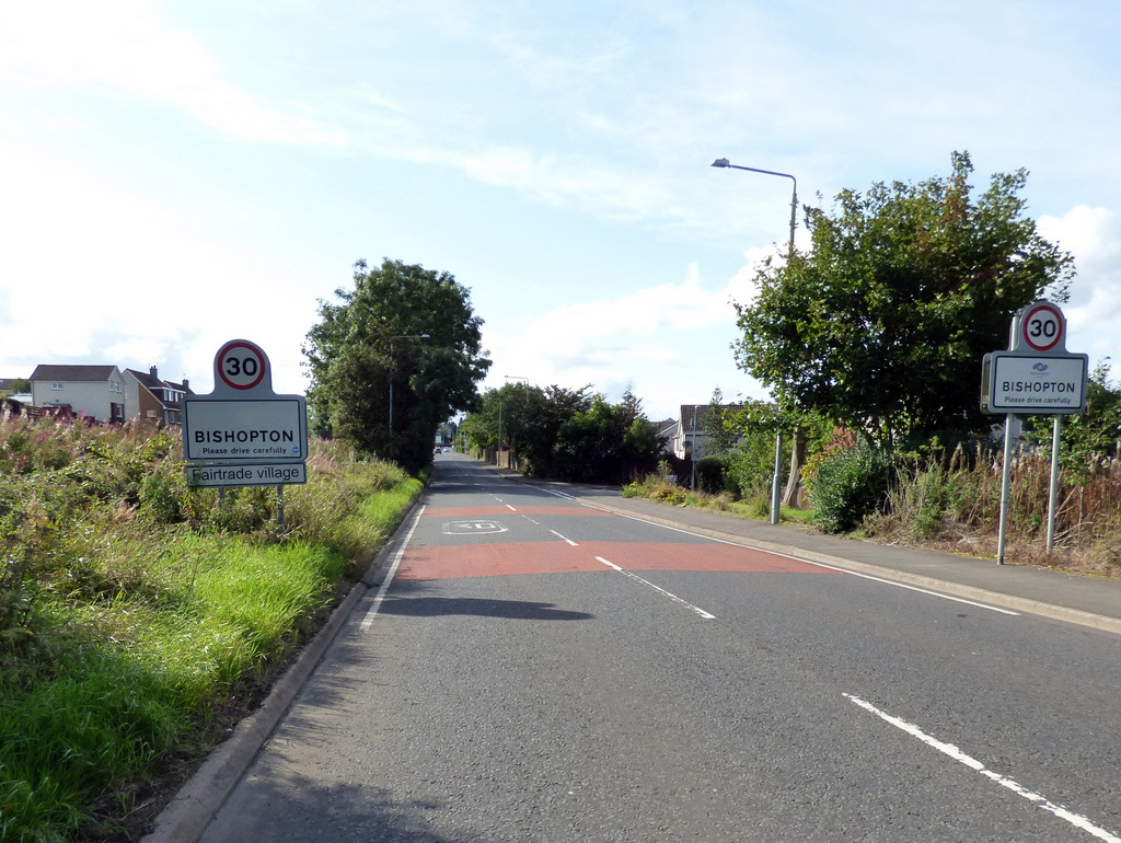
Bishopton, Renfrewshire
Bishopton (/bɪʃəptən/) (Scots: Bishoptoun; Scottish Gaelic: Baile an Easbaig) is a village in Renfrewshire, Scotland. It is located around 2 miles (3 km...
Strathgryffe
Strathgryffe or Gryffe Valley (Scottish Gaelic: Srath Ghriobhaidh) is the strath of River Gryffe, which lies within the historic county of Renfrewshire...
Nearby Amenities
Located within 500m of 55.894033,-4.5371782Have you been to North Brae?
Leave your review of North Brae below (or comments, questions and feedback).