Swines Glen
Valley in Renfrewshire
Scotland
Swines Glen
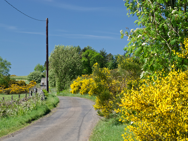
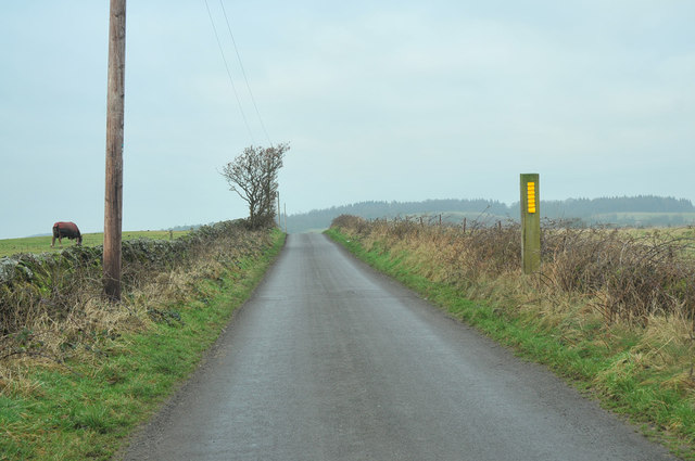
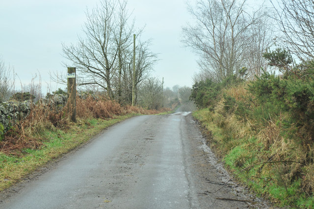
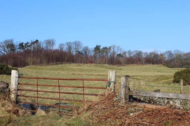
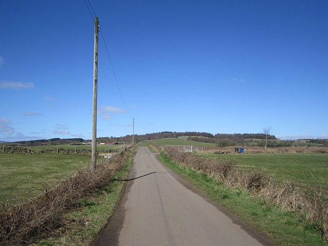
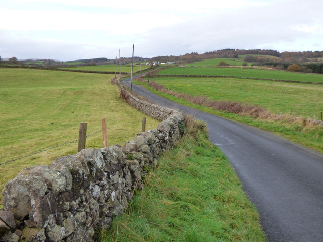
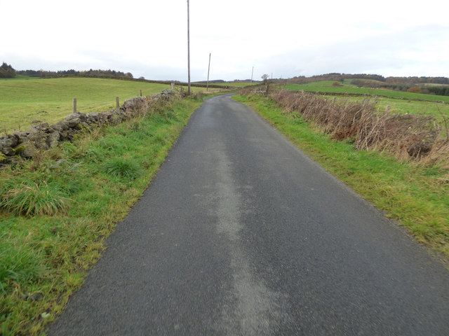
Swines Glen is a picturesque valley located in Renfrewshire, Scotland. Nestled between the towns of Kilbarchan and Bridge of Weir, this charming glen stretches for approximately 2 miles, offering visitors a tranquil retreat from the bustling city life.
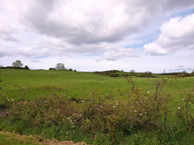
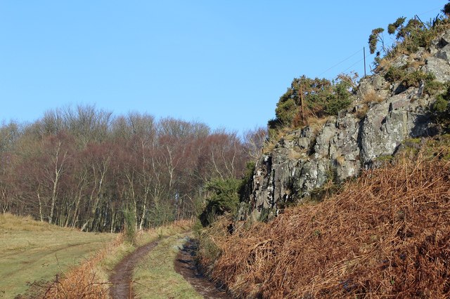
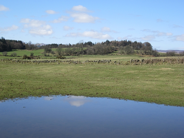
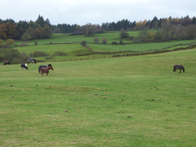
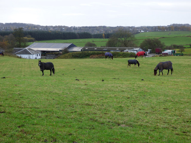
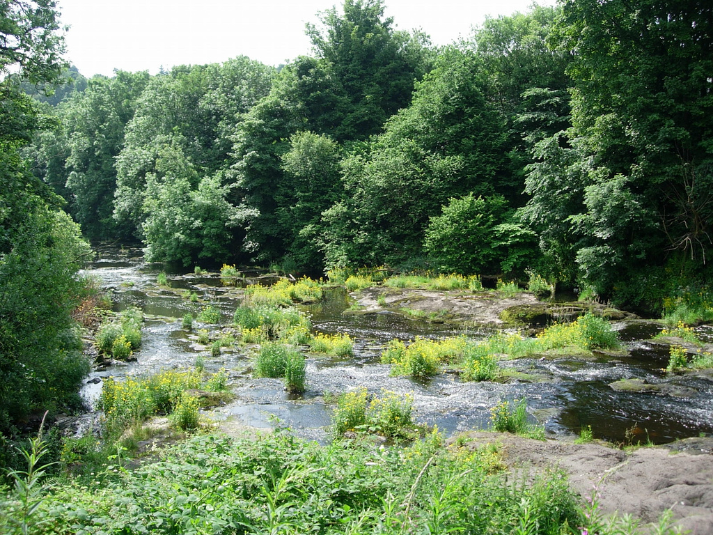
The glen is renowned for its stunning natural beauty, with its rolling hills, lush greenery, and a meandering river that runs through its heart. The area is rich in wildlife, making it a haven for nature enthusiasts. Visitors can spot various bird species, including kingfishers and herons, as well as mammals like badgers and foxes.
Swines Glen is also home to an ancient woodland, boasting an array of native trees such as oaks, birches, and rowans. These trees provide a vibrant display of colors during autumn, attracting many visitors who come to witness the breathtaking scenery.
The glen offers numerous walking trails, catering to all levels of fitness and ability. These well-maintained paths allow visitors to explore the beauty of the valley at their own pace, with several viewpoints that provide panoramic vistas of the surrounding landscape.
In addition to its natural attractions, Swines Glen holds historical significance. The remains of a 14th-century castle can be found within the glen, adding an element of intrigue for history buffs.
Overall, Swines Glen is a hidden gem in Renfrewshire, offering a peaceful escape for those seeking solace in nature. Its idyllic setting, combined with its rich biodiversity and historical remnants, make it a must-visit destination for both locals and tourists alike.
If you have any feedback on the listing, please let us know in the comments section below.
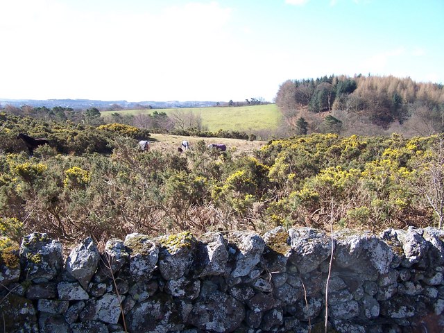
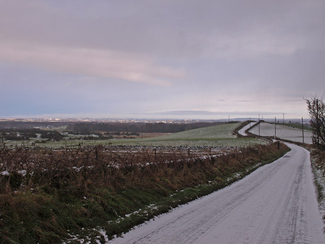
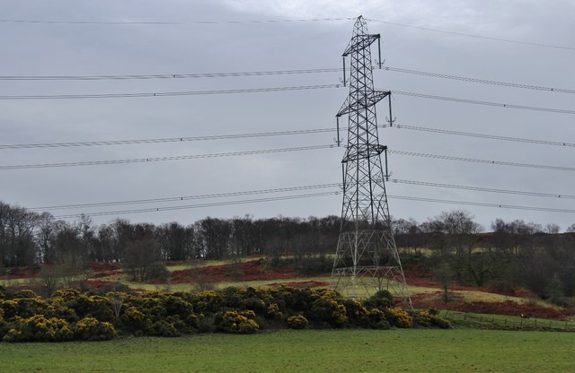
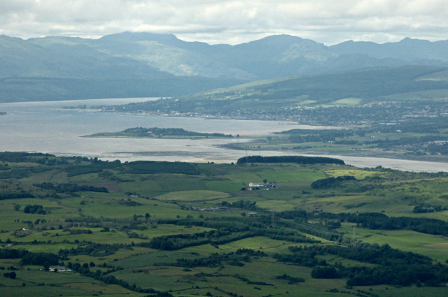
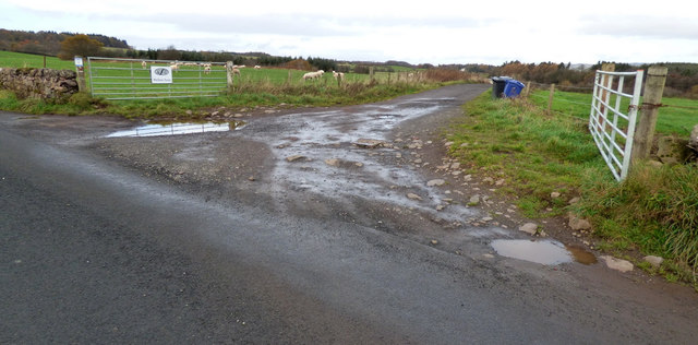
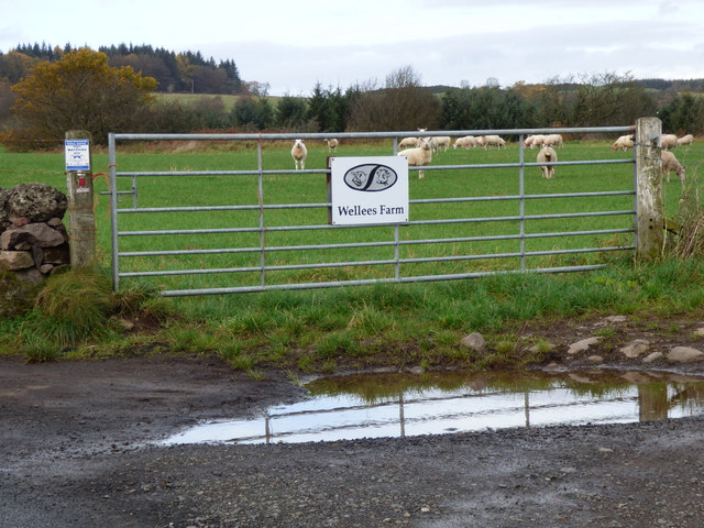
Swines Glen Images
Images are sourced within 2km of 55.889682/-4.5420121 or Grid Reference NS4169. Thanks to Geograph Open Source API. All images are credited.
Swines Glen is located at Grid Ref: NS4169 (Lat: 55.889682, Lng: -4.5420121)
Unitary Authority: Renfrewshire
Police Authority: Renfrewshire and Inverclyde
What 3 Words
///ombudsman.prompting.obstruction. Near Houston, Renfrewshire
Nearby Locations
Related Wikis

St Peter's Well, Houston
St Peter's Well is a rare surviving example of a holy well house or covered well that was built over the waters of a spring in a field below Greenhill...

Formakin House
Formakin House is an early 20th-century mansion and estate in Renfrewshire, Scotland. It is located 2 kilometres (1.2 mi) south of the Firth of Clyde,...

Houston and Killellan
Houston and Killellan is a civil parish in the county and council area of Renfrewshire in the west central Lowlands of Scotland. It contains the villages...

Houston House, Renfrewshire
Houston House is an 18th-century mansion, about 1 mile (1.6 km) north and east of Bridge of Weir, Renfrewshire, Scotland, north of the village of Houston...
Strathgryffe
Strathgryffe or Gryffe Valley (Scottish Gaelic: Srath Ghriobhaidh) is the strath of River Gryffe, which lies within the historic county of Renfrewshire...

Houston, Renfrewshire
Houston ( HOO-stən; Scots: Houstoun), is a village in the council area of Renfrewshire and the larger historic county of the same name in the west central...

ROF Bishopton
The Royal Ordnance Factory was a WW2 Ministry of Supply Explosive Factory. It is sited adjacent to the village of Bishopton in Renfrewshire, Scotland....

Gryffe High School
Gryffe High School is a comprehensive state secondary school in Houston, Renfrewshire. Founded in 1980 and subsequently expanded, the school had a roll...
Nearby Amenities
Located within 500m of 55.889682,-4.5420121Have you been to Swines Glen?
Leave your review of Swines Glen below (or comments, questions and feedback).