Barrhill Wood

Wood, Forest in Wigtownshire

Scotland

Barrhill Wood

East Knockbrex Large farm with prominent slurry tank!
East Knockbrex Credit: Russel Wills

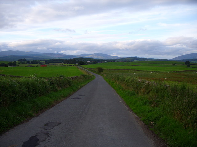
Barrhill Wood, located in Wigtownshire, Scotland, is a picturesque forest that spans over an area of approximately 500 acres. This ancient woodland is nestled within the rolling hills and lush greenery of the surrounding countryside, making it a popular destination for nature enthusiasts and outdoor enthusiasts alike.

The wood is primarily composed of a diverse range of deciduous and coniferous trees, including oak, beech, birch, and pine, which create a rich and vibrant tapestry of colors throughout the seasons. These trees provide a haven for a wide variety of wildlife, including deer, badgers, foxes, and a multitude of bird species, making it an ideal spot for birdwatching and wildlife observation.

Barrhill Wood is crisscrossed with a network of well-maintained walking trails, allowing visitors to explore its serene beauty at their own pace. These paths wind through the forest, leading hikers through sun-dappled glades, along babbling brooks, and up to breathtaking viewpoints that offer sweeping vistas of the surrounding countryside.

In addition to its natural beauty, Barrhill Wood also holds historical significance. The woodland was once part of the historic Bargrennan Estate, and remnants of its past can still be seen, including the ruins of an old mill and the remains of a stone bridge that once connected the estate to the surrounding area.

Overall, Barrhill Wood is a tranquil and enchanting destination that offers visitors a chance to immerse themselves in the beauty of nature, while also providing a glimpse into the area's rich history.

If you have any feedback on the listing, please let us know in the comments section below.

Barrhill Wood Images

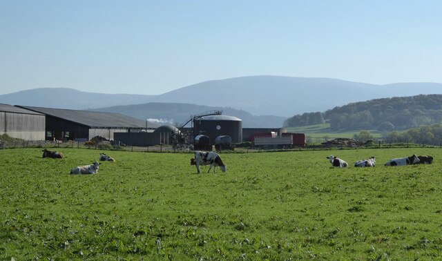
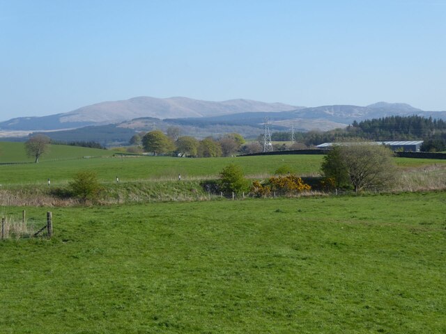
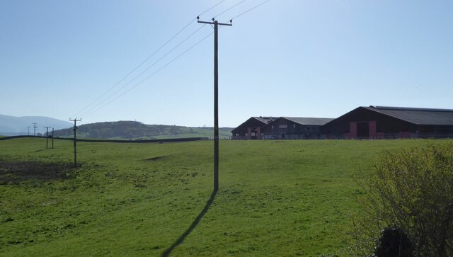
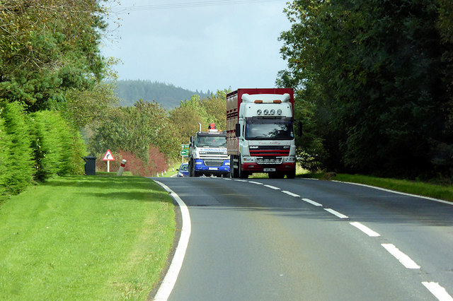
Images are sourced within 2km of 54.943608/-4.4765927 or Grid Reference NX4163. Thanks to Geograph Open Source API. All images are credited.

East Knockbrex Large farm with prominent slurry tank!
East Knockbrex
Large farm with prominent slurry tank!
Pylons across the grassland High Barbuchany is hidden in the dip.
Kirroughtree Forest in the distance.
Pylons across the grassland
High Barbuchany is hidden in the dip. Kirroughtree Forest in the distance.
Electricity poles At East Knockbrex.
Electricity poles
At East Knockbrex.
East Knockbrex
East Knockbrex
Road to East Knockbrex
Approaching East Knockbrex
East Knockbrex Farm
East Knockbrex Farm
Farmland at East Knockbrex
Minor Road to the A75
The Faith Mission Centre, High Barbuchany Appears to be converted from a former farm. See <span class="nowrap"><a title="http://www.faithmission.org/centres/newtonstewart.html" rel="nofollow ugc noopener" href="http://www.faithmission.org/centres/newtonstewart.html">Link</a><img style="margin-left:2px;" alt="External link" title="External link - shift click to open in new window" src="https://s1.geograph.org.uk/img/external.png" width="10" height="10"/></span> (Faith Mission website) for more information.
The Faith Mission Centre, High Barbuchany
Appears to be converted from a former farm. See LinkExternal link (Faith Mission website) for more information.
HGV on the A75 near Newton Stewart Cree Valley’s DAF GF (W3 JML) heading west on the A75 near Newton Stewart.
HGV on the A75 near Newton Stewart
Cree Valley’s DAF GF (W3 JML) heading west on the A75 near Newton Stewart.
Knockbrex road looking towards Newton Stewart
Knockbrex Toll View along the A75 towards Newton Stewart.
Knockbrex Toll
View along the A75 towards Newton Stewart.
Knockbrex Toll Pretty much a rephotograph of a Geograph taken in 2006 <a href="https://www.geograph.org.uk/photo/163020">NX3964 : Knockbrex Toll</a> Amazing how Geographers see the same picture and take a shot of it!
Knockbrex Toll
Pretty much a rephotograph of a Geograph taken in 2006 NX3964 : Knockbrex Toll Amazing how Geographers see the same picture and take a shot of it!
Knockbrex Toll View along the A75 towards Newton Stewart. Left of picture is High Barbuchany Farm and Cairnsmore of Fleet is on the horizon with the first snow of winter on the tops.
Knockbrex Toll
View along the A75 towards Newton Stewart. Left of picture is High Barbuchany Farm and Cairnsmore of Fleet is on the horizon with the first snow of winter on the tops.
Knockbrex Toll View along the A75 with the Galloway Hills in the background.
Knockbrex Toll
View along the A75 with the Galloway Hills in the background.
Knockbrex Toll View of the Cairnsmore of Fleet taken from the A75 near to Newton Stewart.
Knockbrex Toll
View of the Cairnsmore of Fleet taken from the A75 near to Newton Stewart.
Buildings on the west side of Victoria Street Victoria Street in Newton Stewart with the Central Bar at the junction with Church Lane.
Buildings on the west side of Victoria Street
Victoria Street in Newton Stewart with the Central Bar at the junction with Church Lane.
Show me another place!

Barrhill Wood is located at Grid Ref: NX4163 (Lat: 54.943608, Lng: -4.4765927)

Unitary Authority: Dumfries and Galloway

Police Authority: Dumfries and Galloway

What 3 Words

///observers.campfires.fuzz. Near Newton Stewart, Dumfries & Galloway

Related Wikis

Newton Stewart Hospital

Newton Stewart Hospital is a health facility in Newton Stewart, Dumfries and Galloway, Scotland. It is managed by NHS Dumfries and Galloway. == History... ==

McMillan Hall, Newton Stewart

The McMillan Hall is a municipal building in Dashwood Square in Newton Stewart, Dumfries and Galloway, Scotland. The structure, which is used as a community...

Newton Stewart railway station

Newton Stewart railway station served the town of Newton Stewart, in the historic county of Wigtownshire in the administrative area of Dumfries and Galloway...

Penninghame

Penninghame in Wigtownshire, Dumfries and Galloway, Scotland, is a civil parish area, 8 miles (N. W.) from Wigtown. The area is approx 16 miles in length...

Nearby Amenities

Located within 500m of 54.943608,-4.4765927
Power: pole
Lat/Long: 54.9456464/-4.4781719
Power: pole
Lat/Long: 54.9462731/-4.4786891
Power: pole
Lat/Long: 54.946931/-4.4792321
Power: pole
Lat/Long: 54.9476622/-4.4798355
Power: pole
Lat/Long: 54.9459198/-4.4769266
Power: pole
Lat/Long: 54.946654/-4.4777131
Power: pole
Lat/Long: 54.9473953/-4.4785072
Power: pole
Lat/Long: 54.9445586/-4.483797
Power: pole
Lat/Long: 54.9454245/-4.4833876
Power: pole
Lat/Long: 54.9460886/-4.4830811
Power: pole
Lat/Long: 54.947515/-4.4777387
Power: pole
Lat/Long: 54.9468696/-4.4770119
Power: pole
Lat/Long: 54.9462919/-4.4765452
Power: pole
Lat/Long: 54.9457157/-4.4760758
Power: pole
Lat/Long: 54.9451211/-4.475593
Power: pole
Lat/Long: 54.944471/-4.4750592
Power: pole
Lat/Long: 54.9440242/-4.4743028
Power: pole
Lat/Long: 54.9427994/-4.4722965
Power: pole
Lat/Long: 54.9399903/-4.4719653
Power: pole
Lat/Long: 54.9407692/-4.4720276
Power: pole
Lat/Long: 54.940154/-4.472326
Power: pole
Lat/Long: 54.9419492/-4.4717524
Power: pole
Lat/Long: 54.9425644/-4.4726496
Power: pole
Lat/Long: 54.9430311/-4.4733303
Power: pole
Lat/Long: 54.9443263/-4.4752195
Power: pole
Lat/Long: 54.9451807/-4.4761348
Power: pole
Lat/Long: 54.9414852/-4.4723475
Power: pole
Lat/Long: 54.9437905/-4.4758333
Power: pole
Lat/Long: 54.9444043/-4.4767614
Power: pole
Lat/Long: 54.9449655/-4.47761
Power: pole
Lat/Long: 54.9431793/-4.4838839
Power: pole
Lat/Long: 54.9438699/-4.4838305
Bench
Lat/Long: 54.9453183/-4.4751745
Power: pole
Lat/Long: 54.9454457/-4.483732
Power: pole
Lat/Long: 54.9415491/-4.47209
Power: pole
Lat/Long: 54.9436674/-4.4742585
Power: pole
Lat/Long: 54.9412666/-4.4707648
Power: pole
Lat/Long: 54.942514/-4.4839281
Power: pole
Lat/Long: 54.9421061/-4.4732864
Power: pole
Lat/Long: 54.9426636/-4.4741294
Power: pole
Lat/Long: 54.9433239/-4.4751277
The data included in this document is from www.openstreetmap.org. The data is made available under ODbL.

Have you been to Barrhill Wood?

Leave your review of Barrhill Wood below (or comments, questions and feedback).