White Hill

Hill, Mountain in Wigtownshire

Scotland

White Hill

East Knockbrex Large farm with prominent slurry tank!
East Knockbrex Credit: Russel Wills

White Hill is a prominent hill located in Wigtownshire, Scotland. Standing at an impressive height of 242 meters (794 feet), it offers breathtaking panoramic views of the surrounding area. Located near the village of Whauphill, White Hill is a popular destination for outdoor enthusiasts, hikers, and nature lovers.

The hill is characterized by its smooth, grassy slopes, which gradually increase in steepness as one ascends. Its gentle incline makes it accessible to visitors of all fitness levels. The summit of White Hill is marked by a trig point, providing a perfect spot for visitors to take in the stunning views of the picturesque countryside, including the rolling hills, lush green valleys, and distant coastline.

White Hill is home to a diverse range of flora and fauna, making it an ideal location for wildlife enthusiasts. The hill is covered in heather and gorse, which bloom beautifully during the summer months, adding vibrant colors to the landscape. Visitors may also spot various species of birds, including red grouse and skylarks, as well as small mammals such as rabbits and hares.

The hill is easily accessible, with a well-maintained footpath leading to the summit. The route is suitable for both walking and cycling, providing an enjoyable outdoor experience for all. The surrounding area of White Hill offers ample parking facilities and picnic spots, allowing visitors to relax and indulge in the natural beauty of the region.

Overall, White Hill in Wigtownshire is a captivating natural landmark that attracts visitors with its stunning views, diverse wildlife, and accessible hiking opportunities. Whether one seeks a peaceful walk or an adventurous climb, White Hill offers an unforgettable experience for nature enthusiasts of all ages.

If you have any feedback on the listing, please let us know in the comments section below.
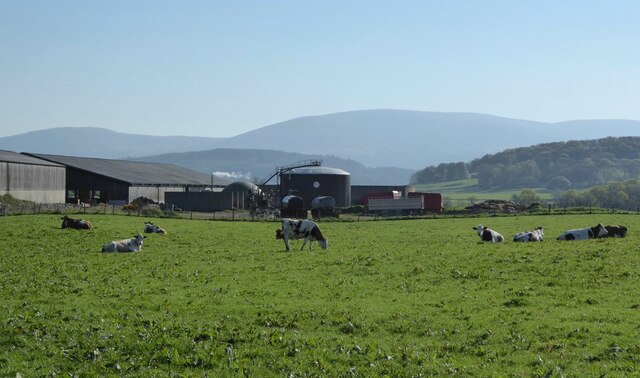
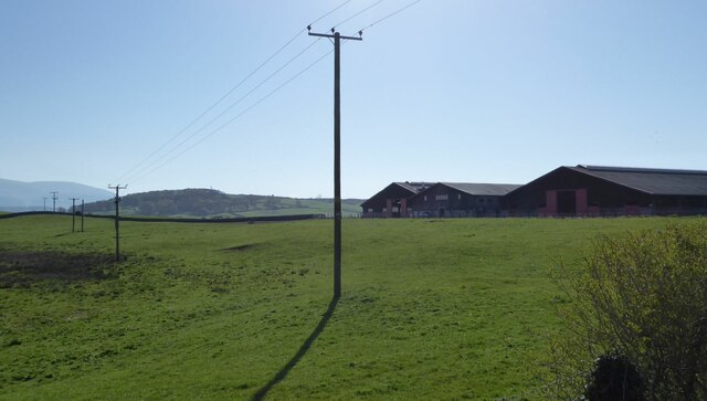
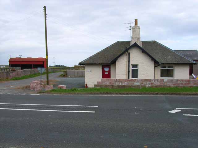
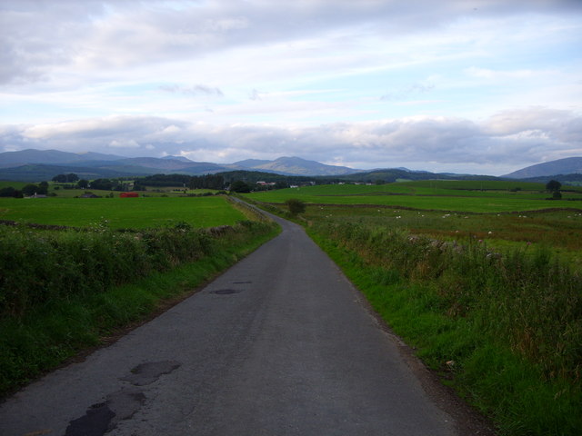
White Hill Images

Images are sourced within 2km of 54.940413/-4.478551 or Grid Reference NX4163. Thanks to Geograph Open Source API. All images are credited.

East Knockbrex Large farm with prominent slurry tank!
East Knockbrex
Large farm with prominent slurry tank!
Electricity poles At East Knockbrex.
Electricity poles
At East Knockbrex.
Knockbrex Toll Old tollhouse on the A75
Knockbrex Toll
Old tollhouse on the A75
Knockbrex road looking towards Newton Stewart
Moorland south of Newton Stewart
Knockbrex Toll View along the A75 towards Newton Stewart.
Knockbrex Toll
View along the A75 towards Newton Stewart.
Knockbrex Toll Pretty much a rephotograph of a Geograph taken in 2006 <a href="https://www.geograph.org.uk/photo/163020">NX3964 : Knockbrex Toll</a> Amazing how Geographers see the same picture and take a shot of it!
Knockbrex Toll
Pretty much a rephotograph of a Geograph taken in 2006 NX3964 : Knockbrex Toll Amazing how Geographers see the same picture and take a shot of it!
Knockbrex Toll View along the A75 towards Newton Stewart. Left of picture is High Barbuchany Farm and Cairnsmore of Fleet is on the horizon with the first snow of winter on the tops.
Knockbrex Toll
View along the A75 towards Newton Stewart. Left of picture is High Barbuchany Farm and Cairnsmore of Fleet is on the horizon with the first snow of winter on the tops.
Knockbrex Toll View along the A75 with the Galloway Hills in the background.
Knockbrex Toll
View along the A75 with the Galloway Hills in the background.
Knockbrex Toll View of the Cairnsmore of Fleet taken from the A75 near to Newton Stewart.
Knockbrex Toll
View of the Cairnsmore of Fleet taken from the A75 near to Newton Stewart.
East Knockbrex
East Knockbrex
Approaching Newton Stewart
Road to East Knockbrex
Approaching East Knockbrex
East Knockbrex Farm
East Knockbrex Farm
Farmland at East Knockbrex
Minor Road to the A75
The Faith Mission Centre, High Barbuchany Appears to be converted from a former farm. See <span class="nowrap"><a title="http://www.faithmission.org/centres/newtonstewart.html" rel="nofollow ugc noopener" href="http://www.faithmission.org/centres/newtonstewart.html">Link</a><img style="margin-left:2px;" alt="External link" title="External link - shift click to open in new window" src="https://s1.geograph.org.uk/img/external.png" width="10" height="10"/></span> (Faith Mission website) for more information.
The Faith Mission Centre, High Barbuchany
Appears to be converted from a former farm. See LinkExternal link (Faith Mission website) for more information.
Show me another place!

White Hill is located at Grid Ref: NX4163 (Lat: 54.940413, Lng: -4.478551)

Unitary Authority: Dumfries and Galloway

Police Authority: Dumfries and Galloway

What 3 Words

///lilac.vibe.skunks. Near Newton Stewart, Dumfries & Galloway

Related Wikis

Newton Stewart Hospital

Newton Stewart Hospital is a health facility in Newton Stewart, Dumfries and Galloway, Scotland. It is managed by NHS Dumfries and Galloway. == History... ==

Newton Stewart railway station

Newton Stewart railway station served the town of Newton Stewart, Dumfries and Galloway, Scotland from 1861 to 1965 on the Portpatrick and Wigtownshire...

McMillan Hall, Newton Stewart

The McMillan Hall is a municipal building in Dashwood Square in Newton Stewart, Dumfries and Galloway, Scotland. The structure, which is used as a community...

Penninghame

Penninghame in Wigtownshire, Dumfries and Galloway, Scotland, is a civil parish area, 8 miles (N. W.) from Wigtown. The area is approx 16 miles in length...

Nearby Amenities

Located within 500m of 54.940413,-4.478551
Power: pole
Lat/Long: 54.9440242/-4.4743028
Power: pole
Lat/Long: 54.9427994/-4.4722965
Power: pole
Lat/Long: 54.9383423/-4.4718336
Power: pole
Lat/Long: 54.9399903/-4.4719653
Power: pole
Lat/Long: 54.9407692/-4.4720276
Power: pole
Lat/Long: 54.9394237/-4.4722831
Power: pole
Lat/Long: 54.940154/-4.472326
Power: pole
Lat/Long: 54.9419492/-4.4717524
Power: pole
Lat/Long: 54.9425644/-4.4726496
Power: pole
Lat/Long: 54.9430311/-4.4733303
Power: pole
Lat/Long: 54.9443263/-4.4752195
Power: pole
Lat/Long: 54.9414852/-4.4723475
Power: pole
Lat/Long: 54.9437905/-4.4758333
Power: pole
Lat/Long: 54.9444043/-4.4767614
Power: pole
Lat/Long: 54.9380212/-4.484236
Power: pole
Lat/Long: 54.9386486/-4.4841875
Power: pole
Lat/Long: 54.9395302/-4.4841234
Power: pole
Lat/Long: 54.9403884/-4.4840633
Power: pole
Lat/Long: 54.9411065/-4.4840287
Power: pole
Lat/Long: 54.9418216/-4.4839741
Power: pole
Lat/Long: 54.9431793/-4.4838839
Power: pole
Lat/Long: 54.9415491/-4.47209
Power: pole
Lat/Long: 54.9392914/-4.4719095
Power: pole
Lat/Long: 54.9436674/-4.4742585
Power: pole
Lat/Long: 54.942514/-4.4839281
Power: pole
Lat/Long: 54.9421061/-4.4732864
Power: pole
Lat/Long: 54.9426636/-4.4741294
Power: pole
Lat/Long: 54.9433239/-4.4751277
Power: pole
Lat/Long: 54.9386947/-4.4722314
Power: pole
Lat/Long: 54.9380648/-4.4721868
The data included in this document is from www.openstreetmap.org. The data is made available under ODbL.

Have you been to White Hill?

Leave your review of White Hill below (or comments, questions and feedback).