Moel y Môr

Hill, Mountain in Cardiganshire

Wales

Moel y Môr

Churn Stand
Churn Stand Credit: Adrian Dust

The requested URL returned error: 429 Too Many Requests

If you have any feedback on the listing, please let us know in the comments section below.
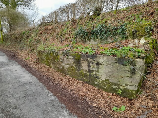
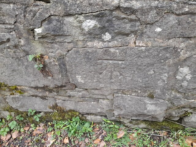
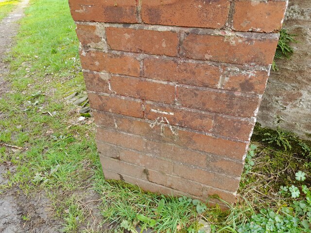
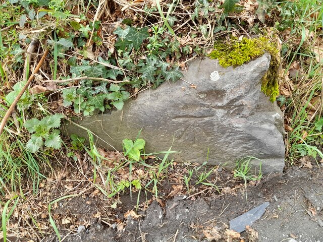
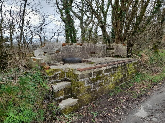
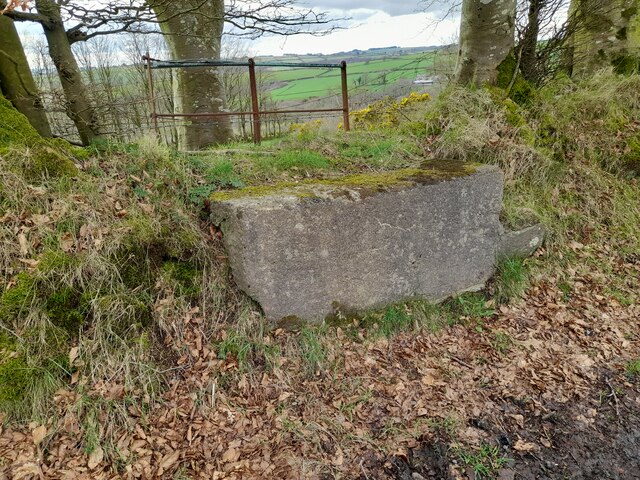
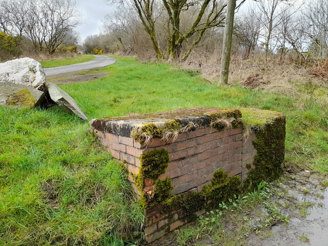
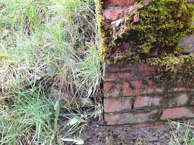
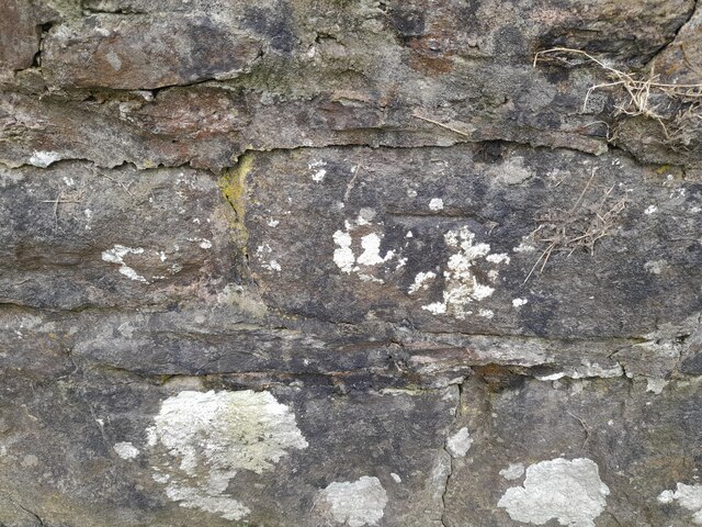
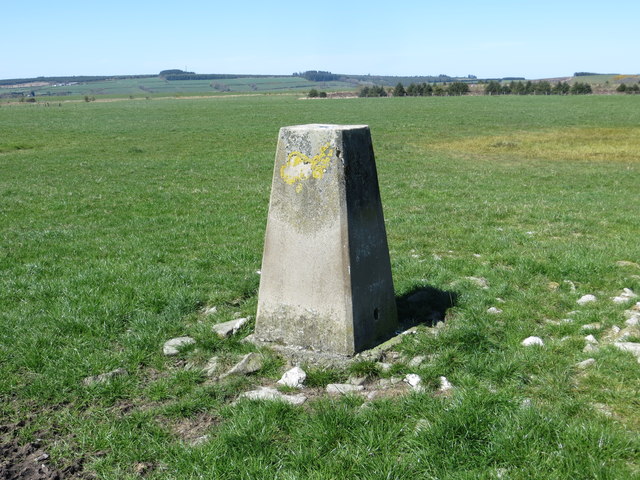
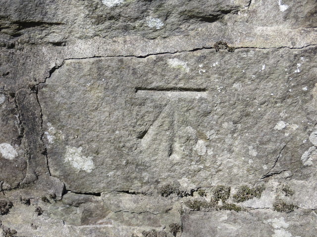
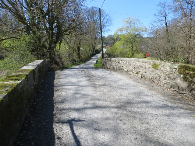
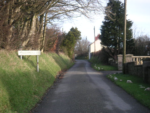
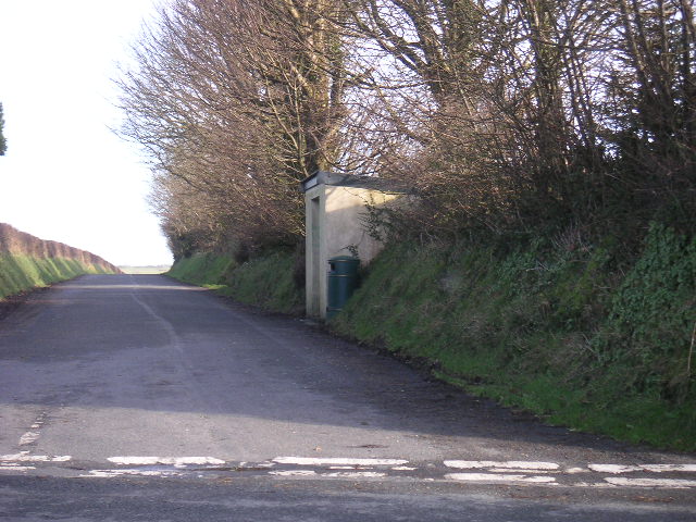
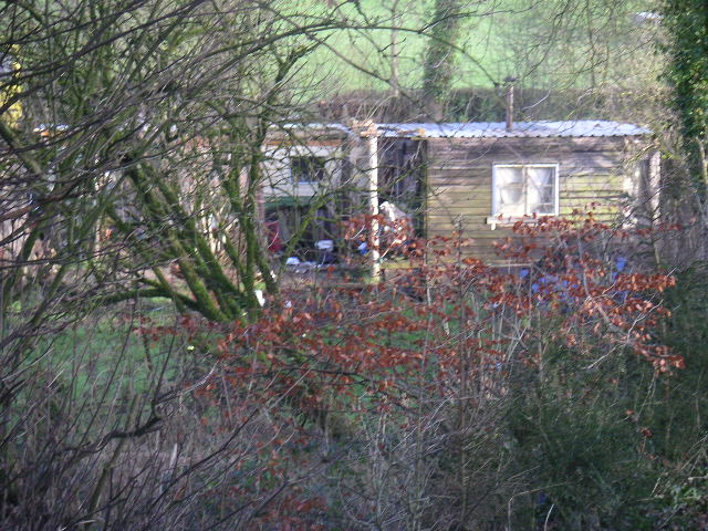
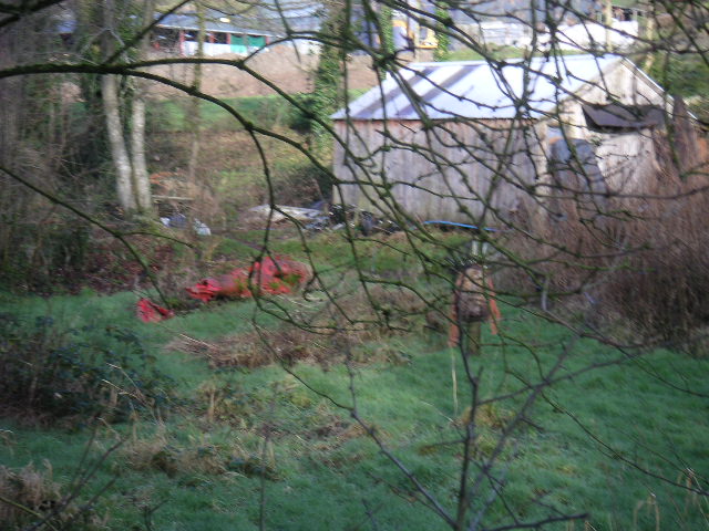
Moel y Môr Images

Images are sourced within 2km of 52.097102/-4.3178301 or Grid Reference SN4146. Thanks to Geograph Open Source API. All images are credited.

Churn Stand
Churn Stand
Ordnance Survey Cut Mark This OS cut mark can be found on the NW parapet of the bridge. It marks a point 156.027m above mean sea level.
Ordnance Survey Cut Mark
This OS cut mark can be found on the NW parapet of the bridge. It marks a point 156.027m above mean sea level.
Ordnance Survey Cut Mark This OS cut mark can be found on the brick gatepost at Pwllfein Farm. It marks a point 183.095m above mean sea level.
Ordnance Survey Cut Mark
This OS cut mark can be found on the brick gatepost at Pwllfein Farm. It marks a point 183.095m above mean sea level.
Ordnance Survey Cut Mark This OS cut mark can be found on the stone at the cross roads. It marks a point 232.614m above mean sea level.
Ordnance Survey Cut Mark
This OS cut mark can be found on the stone at the cross roads. It marks a point 232.614m above mean sea level.
Churn Stand There is an Ordnance Survey rivet on the top of the stand. <a title="https://www.geograph.org.uk/photo/7446171" href="https://www.geograph.org.uk/photo/7446171">Link</a>
Churn Stand
There is an Ordnance Survey rivet on the top of the stand. Link
Ordnance Survey Rivet This OS rivet can be found on the churn stand. It marks a point 232.688m above mean sea level. <a title="https://www.geograph.org.uk/photo/7446170" href="https://www.geograph.org.uk/photo/7446170">Link</a>
Ordnance Survey Rivet
This OS rivet can be found on the churn stand. It marks a point 232.688m above mean sea level. Link
Churn Stand There is an Ordnance Survey rivet on the top of the stand. <a title="https://www.geograph.org.uk/photo/7446173" href="https://www.geograph.org.uk/photo/7446173">Link</a>
Churn Stand
There is an Ordnance Survey rivet on the top of the stand. Link
Ordnance Survey Rivet This OS rivet can be found on the churn stand. It marks a point 263.368m above mean sea level. <a title="https://www.geograph.org.uk/photo/7446172" href="https://www.geograph.org.uk/photo/7446172">Link</a>
Ordnance Survey Rivet
This OS rivet can be found on the churn stand. It marks a point 263.368m above mean sea level. Link
Churn Stand There is an Ordnance Survey cut mark on the front of the stand. <a title="https://www.geograph.org.uk/photo/7446175" href="https://www.geograph.org.uk/photo/7446175">Link</a>
Churn Stand
There is an Ordnance Survey cut mark on the front of the stand. Link
Ordnance Survey Cut Mark This OS cut mark can be found on the churn stand. It marks a point 276.853m above mean sea level. <a title="https://www.geograph.org.uk/photo/7446174" href="https://www.geograph.org.uk/photo/7446174">Link</a>
Ordnance Survey Cut Mark
This OS cut mark can be found on the churn stand. It marks a point 276.853m above mean sea level. Link
Ordnance Survey Cut Mark This OS cut mark can be found on the wall SW side of the road. It marks a point 113.090m above mean sea level.
Ordnance Survey Cut Mark
This OS cut mark can be found on the wall SW side of the road. It marks a point 113.090m above mean sea level.
Field view from Blaen-cribor Triangulation Pillar Looking north-westward.
Field view from Blaen-cribor Triangulation Pillar
Looking north-westward.
Ordnance Survey Cut Mark This can be found on the parapet wall on the road  bridge near Felin Clettwr.
For more detail see : <span class="nowrap"><a title="http://www.bench-marks.org.uk/bm71817" rel="nofollow ugc noopener" href="http://www.bench-marks.org.uk/bm71817">Link</a><img style="margin-left:2px;" alt="External link" title="External link - shift click to open in new window" src="https://s1.geograph.org.uk/img/external.png" width="10" height="10"/></span>
Ordnance Survey Cut Mark
This can be found on the parapet wall on the road bridge near Felin Clettwr. For more detail see : LinkExternal link
Road Bridge near Felin Clettwr Looking south-westward.
Road Bridge near Felin Clettwr
Looking south-westward.
crossroads at Maesymeillion
Bus stop - Maesymeillion
The abode of 'Ed the Shed' A truly gifted carver of wood and a lovely bloke.
The abode of 'Ed the Shed'
A truly gifted carver of wood and a lovely bloke.
Ed's Garden
Ed's Garden
Show me another place!

Moel y Môr is located at Grid Ref: SN4146 (Lat: 52.097102, Lng: -4.3178301)

Unitary Authority: Ceredigion

Police Authority: Dyfed Powys

What 3 Words

///tempting.police.unscathed. Near Llandysul, Ceredigion

Nearby Locations

Moel y Môr Maesymeillion

Related Wikis

Pontsiân

Pontsiân is a village in the county of Ceredigion, Wales. It lies on the banks of the river Cletwr, a minor tributary to the Afon Teifi. Located in a rural...

Tregroes

Tregroes (Welsh: Tregroes, "Settlement of the Cross") is a hamlet in the community of Llandysul, Ceredigion, Wales, which is 64.1 miles (103.2 km) from...

Rhos Llawr Cwrt National Nature Reserve

Rhos Llawr Cwrt National Nature Reserve nestles in the base of the Clettwr valley, some 10 kilometres from the Ceredigion coast, between Ffostrasol and...

Pren-gwyn

Pren-gwyn is a small village in the community of Llandysul, Ceredigion, Wales, which is 63.1 miles (101.6 km) from Cardiff and 182.5 miles (293.6 km)...

Nearby Amenities

Located within 500m of 52.097102,-4.3178301
Moel y Môr
Alt Name: Moel-y-môr
Ele: 281
Natural: peak
Wikidata: Q106710878
Lat/Long: 52.0970254/-4.3172255
The data included in this document is from www.openstreetmap.org. The data is made available under ODbL.

Have you been to Moel y Môr?

Leave your review of Moel y Môr below (or comments, questions and feedback).