Maesymeillion

Settlement in Cardiganshire

Wales

Maesymeillion

The Gwarcefel Arms Five roads meet beside this pub: A475, B4476 and two un-named local lanes. Should be good for the passing trade!
The Gwarcefel Arms Credit: Stuart Logan

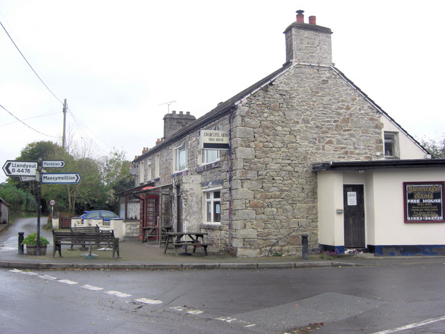
Maesymeillion is a small rural village located in the county of Cardiganshire, Wales. Situated in the picturesque countryside, it lies about 5 miles southeast of the town of Lampeter. The village is nestled amidst rolling hills, offering breathtaking views of the surrounding landscape.

With a population of around 200 residents, Maesymeillion exudes a tranquil and close-knit community atmosphere. The village consists mainly of traditional stone houses, some of which date back several centuries. These homes are interspersed with lush green fields and farmlands, reflecting the village's strong agricultural roots.

One of the prominent features of Maesymeillion is its historic church, St. Meillion's. This beautiful medieval church stands as a testament to the village's rich heritage and serves as a focal point for both religious and social gatherings. The churchyard is also home to a number of ancient gravestones, adding to the area's historical charm.

Despite its small size, Maesymeillion benefits from its proximity to nearby towns and amenities. The village is within easy reach of Lampeter, which offers a range of shops, schools, and leisure facilities. Additionally, the surrounding countryside provides ample opportunities for outdoor activities such as hiking, cycling, and horse riding.

Maesymeillion is a place where the pace of life is slower, and the sense of community is strong. Its picturesque setting and historical significance make it an attractive destination for those seeking a peaceful countryside retreat in the heart of Cardiganshire.

If you have any feedback on the listing, please let us know in the comments section below.

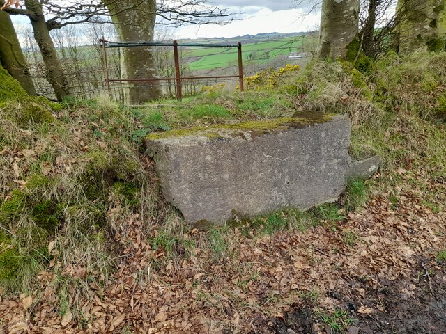
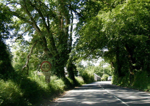
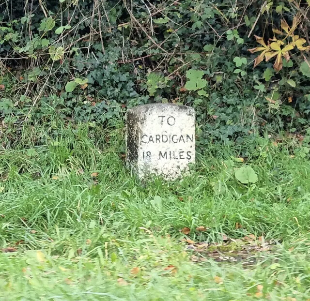
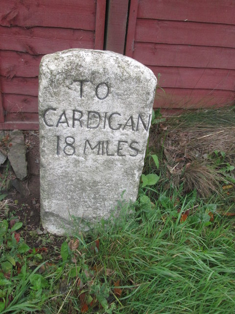
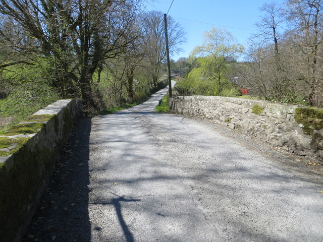
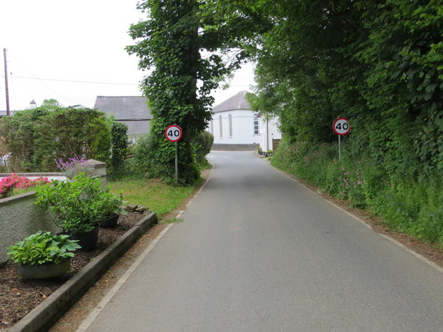
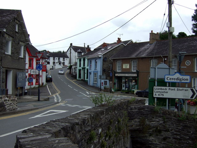
Maesymeillion Images

Images are sourced within 2km of 52.089952/-4.3082479 or Grid Reference SN4146. Thanks to Geograph Open Source API. All images are credited.

The Gwarcefel Arms Five roads meet beside this pub: A475, B4476 and two un-named local lanes. Should be good for the passing trade!
The Gwarcefel Arms
Five roads meet beside this pub: A475, B4476 and two un-named local lanes. Should be good for the passing trade!
Ordnance Survey Cut Mark This OS cut mark can be found on the NE parapet of the bridge. It marks a point 144.002m above mean sea level.
Ordnance Survey Cut Mark
This OS cut mark can be found on the NE parapet of the bridge. It marks a point 144.002m above mean sea level.
Churn Stand
Churn Stand
Ordnance Survey Cut Mark This OS cut mark can be found on the NW parapet of the bridge. It marks a point 156.027m above mean sea level.
Ordnance Survey Cut Mark
This OS cut mark can be found on the NW parapet of the bridge. It marks a point 156.027m above mean sea level.
Ordnance Survey Cut Mark This OS cut mark can be found on the brick gatepost at Pwllfein Farm. It marks a point 183.095m above mean sea level.
Ordnance Survey Cut Mark
This OS cut mark can be found on the brick gatepost at Pwllfein Farm. It marks a point 183.095m above mean sea level.
Ordnance Survey Cut Mark This OS cut mark can be found on the stone at the cross roads. It marks a point 232.614m above mean sea level.
Ordnance Survey Cut Mark
This OS cut mark can be found on the stone at the cross roads. It marks a point 232.614m above mean sea level.
Churn Stand There is an Ordnance Survey rivet on the top of the stand. <a title="https://www.geograph.org.uk/photo/7446171" href="https://www.geograph.org.uk/photo/7446171">Link</a>
Churn Stand
There is an Ordnance Survey rivet on the top of the stand. Link
Ordnance Survey Rivet This OS rivet can be found on the churn stand. It marks a point 232.688m above mean sea level. <a title="https://www.geograph.org.uk/photo/7446170" href="https://www.geograph.org.uk/photo/7446170">Link</a>
Ordnance Survey Rivet
This OS rivet can be found on the churn stand. It marks a point 232.688m above mean sea level. Link
Churn Stand There is an Ordnance Survey rivet on the top of the stand. <a title="https://www.geograph.org.uk/photo/7446173" href="https://www.geograph.org.uk/photo/7446173">Link</a>
Churn Stand
There is an Ordnance Survey rivet on the top of the stand. Link
Ordnance Survey Rivet This OS rivet can be found on the churn stand. It marks a point 263.368m above mean sea level. <a title="https://www.geograph.org.uk/photo/7446172" href="https://www.geograph.org.uk/photo/7446172">Link</a>
Ordnance Survey Rivet
This OS rivet can be found on the churn stand. It marks a point 263.368m above mean sea level. Link
Ordnance Survey Cut Mark This OS cut mark can be found on the wall SW side of the road. It marks a point 113.090m above mean sea level.
Ordnance Survey Cut Mark
This OS cut mark can be found on the wall SW side of the road. It marks a point 113.090m above mean sea level.
A475 at Prengwyn village boundary
Old Milestone by the A475, Pren-gwyn, Llandysul Parish Cardigan tombstone by the A475, in parish of Llandysul (Ceredigion District), Pren-gwyn, West of crossroads against fence.

Inscription reads:-
TO
CARDIGAN
18 MILES 

Grade II listed by Cadw. Reference Number: 10627
<span class="nowrap"><a title="https://cadwpublic-api.azurewebsites.net/reports/listedbuilding/FullReport?lang=&id=10627" rel="nofollow ugc noopener" href="https://cadwpublic-api.azurewebsites.net/reports/listedbuilding/FullReport?lang=&id=10627">Link</a><img style="margin-left:2px;" alt="External link" title="External link - shift click to open in new window" src="https://s1.geograph.org.uk/img/external.png" width="10" height="10"/></span>

Surveyed

Milestone Society National ID: CRD_CALA18
Old Milestone by the A475, Pren-gwyn, Llandysul Parish
Cardigan tombstone by the A475, in parish of Llandysul (Ceredigion District), Pren-gwyn, West of crossroads against fence. Inscription reads:- TO CARDIGAN 18 MILES Grade II listed by Cadw. Reference Number: 10627 LinkExternal link Surveyed Milestone Society National ID: CRD_CALA18
Ordnance Survey Cut Mark This OS cut mark can be found on the corner of the Gwarcefel Arms, Pren-Gwyn.
Ordnance Survey Cut Mark
This OS cut mark can be found on the corner of the Gwarcefel Arms, Pren-Gwyn.
Milestone - Cardigan 18
Ordnance Survey Cut Mark This can be found on the parapet wall on the road  bridge near Felin Clettwr.
For more detail see : <span class="nowrap"><a title="http://www.bench-marks.org.uk/bm71817" rel="nofollow ugc noopener" href="http://www.bench-marks.org.uk/bm71817">Link</a><img style="margin-left:2px;" alt="External link" title="External link - shift click to open in new window" src="https://s1.geograph.org.uk/img/external.png" width="10" height="10"/></span>
Ordnance Survey Cut Mark
This can be found on the parapet wall on the road bridge near Felin Clettwr. For more detail see : LinkExternal link
Road Bridge near Felin Clettwr Looking south-westward.
Road Bridge near Felin Clettwr
Looking south-westward.
Road (B4476) approaching the A475 in Pren-gwyn Looking north-eastward.
Road (B4476) approaching the A475 in Pren-gwyn
Looking north-eastward.
Show me another place!

Maesymeillion is located at Grid Ref: SN4146 (Lat: 52.089952, Lng: -4.3082479)

Unitary Authority: Ceredigion

Police Authority: Dyfed Powys

What 3 Words

///clap.passports.gloom. Near Llandysul, Ceredigion

Nearby Locations

Moel y Môr Maesymeillion

Related Wikis

Pontsiân

Pontsiân is a village in the county of Ceredigion, Wales. It lies on the banks of the river Cletwr, a minor tributary to the Afon Teifi. Located in a rural...

Tregroes

Tregroes (Welsh: Tregroes, "Settlement of the Cross") is a hamlet in the community of Llandysul, Ceredigion, Wales, which is 64.1 miles (103.2 km) from...

Pren-gwyn

Pren-gwyn is a small village in the community of Llandysul, Ceredigion, Wales, which is 63.1 miles (101.6 km) from Cardiff and 182.5 miles (293.6 km)...

Rhydowen

Rhydowen is a small village in Ceredigion in south-west Wales. It has a population of about 347, of which around 200 are Welsh-speaking. The village hall...

Coedyfoel

Coedyfoel is a small village in the community of Llandysul, Ceredigion, Wales, which is 62.8 miles (101 km) from Cardiff and 182.3 miles (293.4 km) from...

A475 road

The A475 road in Wales links Newcastle Emlyn in Carmarthenshire with Lampeter in Ceredigion; a distance of 19 miles (31 km). == History == The road, that...

Bryngolau

Bryngolau is a small village in the community of Llandysul, Ceredigion, Wales, which is 62.2 miles (100.1 km) from Cardiff and 181.5 miles (292.1 km)...

Pentrellwyn

Pentrellwyn is a small village in the community of Llandysul, Ceredigion, Wales. Pentrellwyn is represented in the Senedd by Elin Jones (Plaid Cymru) and...

Nearby Amenities

Located within 500m of 52.089952,-4.3082479
Direction: 215
Generator Method: photovoltaic
Generator Output Electricity: yes
Generator Solar Modules: 11
Generator Source: solar
Generator Type: solar_photovoltaic_panel
Location: roof
Power: generator
Lat/Long: 52.0893623/-4.3065923
Direction: 125
Generator Method: photovoltaic
Generator Output Electricity: yes
Generator Solar Modules: 10
Generator Source: solar
Generator Type: solar_photovoltaic_panel
Location: roof
Power: generator
Lat/Long: 52.0904121/-4.3089044
Direction: SE
Generator Method: photovoltaic
Generator Output Electricity: yes
Generator Solar Modules: 16
Generator Source: solar
Generator Type: solar_photovoltaic_panel
Location: roof
Power: generator
Lat/Long: 52.089832/-4.3082339
Direction: SW
Generator Method: photovoltaic
Generator Output Electricity: yes
Generator Solar Modules: 16
Generator Source: solar
Generator Type: solar_photovoltaic_panel
Location: roof
Power: generator
Lat/Long: 52.0902539/-4.3083733
The data included in this document is from www.openstreetmap.org. The data is made available under ODbL.

Have you been to Maesymeillion?

Leave your review of Maesymeillion below (or comments, questions and feedback).