White Hill

Hill, Mountain in Ayrshire

Scotland

White Hill

A cutting on the Ayr-Dumfries rail line
A cutting on the Ayr-Dumfries rail line Credit: Alan Reid

White Hill is a prominent hill situated in the region of Ayrshire, Scotland. With an elevation of approximately 300 meters (984 feet), it stands as one of the noteworthy hills in the area. White Hill is part of the larger range known as the Carrick Hills, which are situated to the east of the town of Girvan.

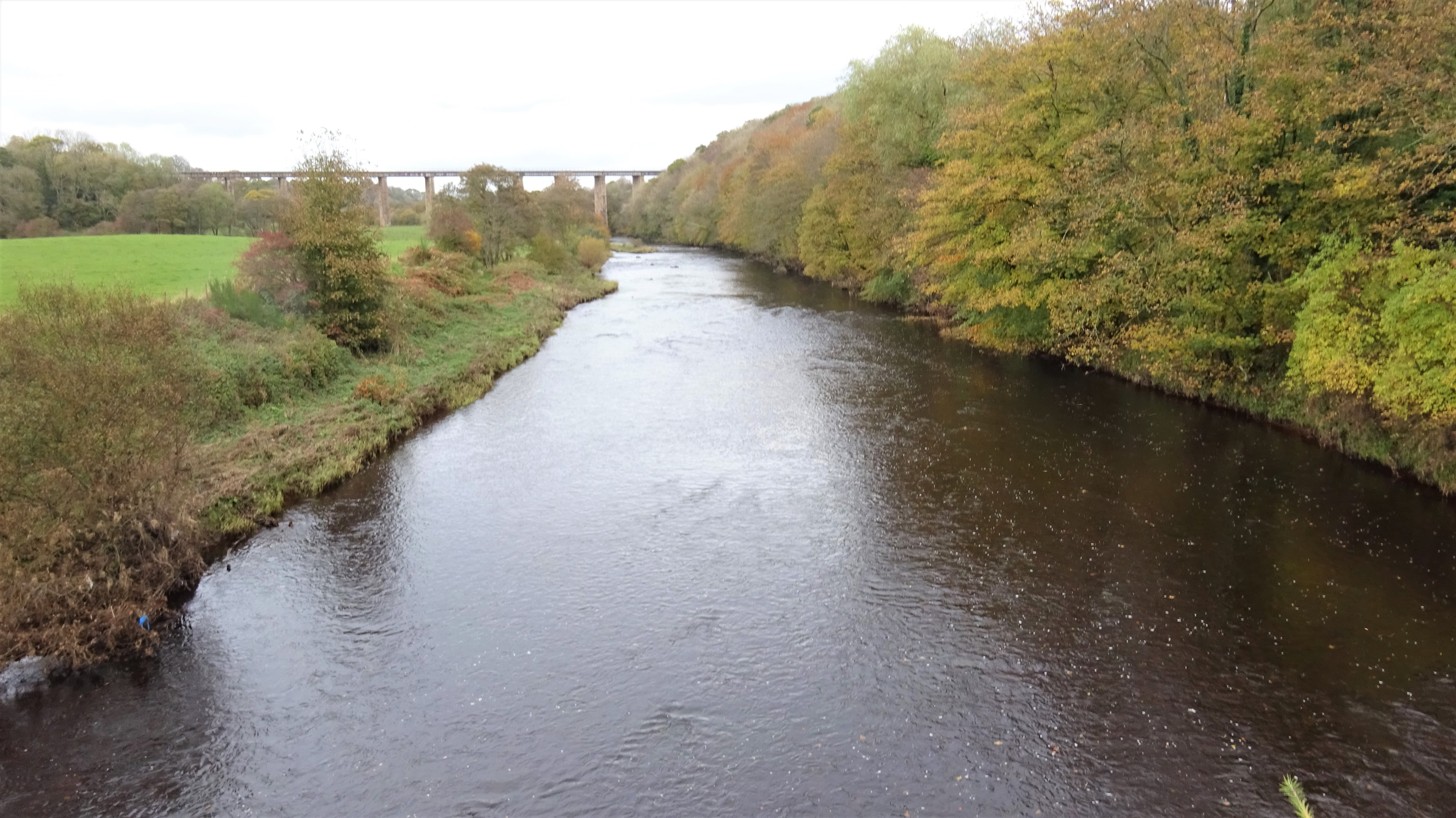
The landscape surrounding White Hill is characterized by rolling green hills and lush vegetation, providing a picturesque view for visitors. The hill itself is known for its distinctive white appearance, which is caused by the exposed limestone rock faces that can be seen on its slopes.

The area surrounding White Hill is popular among hikers and nature enthusiasts. There are several walking trails that wind their way up the hill, offering breathtaking views of the surrounding countryside. These trails cater to different levels of fitness, making it accessible to both experienced hikers and casual walkers.

Birdwatchers are also drawn to White Hill due to the diverse range of bird species that inhabit the area. The hill provides an excellent vantage point for observing various bird species, including raptors such as kestrels and buzzards.

Overall, White Hill in Ayrshire offers a tranquil and scenic escape for those seeking to immerse themselves in the natural beauty of the Scottish countryside. Its accessibility, diverse wildlife, and stunning views make it a popular destination for outdoor enthusiasts and nature lovers alike.

If you have any feedback on the listing, please let us know in the comments section below.
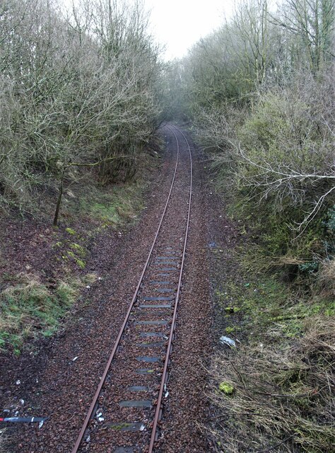
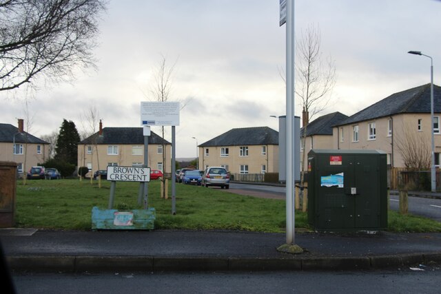
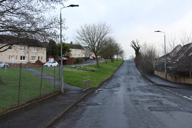
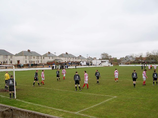
White Hill Images

Images are sourced within 2km of 55.464876/-4.5118881 or Grid Reference NS4121. Thanks to Geograph Open Source API. All images are credited.

A cutting on the Ayr-Dumfries rail line
Brown's Crescent, Annbank
B744 through Annbank
New Pebble Park, Annbank. Football ground Home of Annbank United FC
New Pebble Park, Annbank. Football ground
Home of Annbank United FC
Sundrum Castle Holiday Park A view looking north towards the entrance to Sundrum Castle Holiday Park.
Sundrum Castle Holiday Park
A view looking north towards the entrance to Sundrum Castle Holiday Park.
Sundrum Castle Holiday Park A view looking west to the reception office of Sundrum Castle Holiday Park.
Sundrum Castle Holiday Park
A view looking west to the reception office of Sundrum Castle Holiday Park.
The bridge at Bridgend A view looking north towards the bridge at Bridgend.
The bridge at Bridgend
A view looking north towards the bridge at Bridgend.
Cliff and waterfall A view looking south to a small waterfall on a tributary of the River Ayr, upstream from the bridge at Bridgend.
Cliff and waterfall
A view looking south to a small waterfall on a tributary of the River Ayr, upstream from the bridge at Bridgend.
Raithhill Farm A view looking north across the B742 towards Raithhill Farm.
Raithhill Farm
A view looking north across the B742 towards Raithhill Farm.
Gadgirth Bridge A view looking east along the River Ayr towards Gadgirth Bridge.
Gadgirth Bridge
A view looking east along the River Ayr towards Gadgirth Bridge.
Enterkine Viaduct A view looking to the northeast along the River Ayr towards the Crawfordston railway viaduct.
Enterkine Viaduct
A view looking to the northeast along the River Ayr towards the Crawfordston railway viaduct.
Springs A view looking to the southwest towards the bridge over the railway at Springs.
Springs
A view looking to the southwest towards the bridge over the railway at Springs.
Springs A view looking to the northeast along the minor road into the hamlet of Springs,
Springs
A view looking to the northeast along the minor road into the hamlet of Springs,
Woodcroft A view looking to the southeast along the access road to Woodcroft farm , hidden behind a shelter belt of trees.
Woodcroft
A view looking to the southeast along the access road to Woodcroft farm , hidden behind a shelter belt of trees.
Entrance to Enterkine House A view looking east across the B742 to the gates at the entrance to Enterkine House.
Entrance to Enterkine House
A view looking east across the B742 to the gates at the entrance to Enterkine House.
Colvinston A view looking to the northeast along the B744 towards the farm buildings at Colvinston.
Colvinston
A view looking to the northeast along the B744 towards the farm buildings at Colvinston.
Annbank A view looking east towards the railway bridge from the junction of the B744 and the B742
Annbank
A view looking east towards the railway bridge from the junction of the B744 and the B742
River Ayr Way
River Ayr Way
Show me another place!

White Hill is located at Grid Ref: NS4121 (Lat: 55.464876, Lng: -4.5118881)

Unitary Authority: South Ayrshire

Police Authority: Ayrshire

What 3 Words

///whizzing.stages.finishes. Near Coylton, South Ayrshire

Related Wikis

Castle and Barony of Gadgirth

The Castle and Barony of Gadgirth was held by the Chalmer family, originally De Camera, with successive castles and a mansion house overlooking the River...

Sundrum Castle

Sundrum Castle is a Scottish medieval castle located 1.5 kilometres (0.93 mi) north of Coylton, South Ayrshire, by the Water of Coyle river. It was built...

Gadgirth Old Ha'

The castle known as Gadgirth Old Ha' or Gadgirth Old Hall, was the first castle at Gadgirth, held by the Chalmer family, standing on a whinstone promontory...

Annbank

Annbank is a village in South Ayrshire, Scotland. It is around five miles east of Ayr. Originally a mining settlement, it once had a rail link to Ayr via...

Related Videos

Facilities at Sundrum Castle Holiday Park

You'll find so much to do at Sundrum Castle Holiday Park, it's hard to choose what to do first. If you love splashing around in the ...

Sundrum Castle Holiday Park Accommodation, Scotland

Take a look at what accommodation you can stay in during your time at Sundrum Castle Holiday Park, Scotland. The extra wide 3 ...

Train-spotting Sprocker.

Train passes when I was out walking the pup. 10 x 100 tonners for Prestwick Airport's Monkton Sidings. With Ayr station closed ...

Nearby Amenities

Located within 500m of 55.464876,-4.5118881
Power: pole
Lat/Long: 55.4653348/-4.5049534
Power: pole
Lat/Long: 55.4655656/-4.5059916
Power: pole
Lat/Long: 55.4658439/-4.5073443
Power: pole
Lat/Long: 55.4661273/-4.5086812
Power: pole
Lat/Long: 55.4664351/-4.510156
Power: pole
Lat/Long: 55.4666915/-4.5113707
Power: pole
Lat/Long: 55.4667197/-4.5128048
Power: pole
Lat/Long: 55.4667402/-4.5141507
Power: pole
Lat/Long: 55.4667697/-4.5154672
Power: pole
Lat/Long: 55.4667967/-4.5165869
Power: pole
Lat/Long: 55.4668121/-4.5179034
Power: pole
Lat/Long: 55.4615761/-4.5172248
Power: pole
Lat/Long: 55.4615171/-4.5163788
Power: pole
Lat/Long: 55.4614761/-4.5156165
Power: pole
Lat/Long: 55.4615043/-4.5154491
Power: pole
Lat/Long: 55.4619749/-4.5144719
Power: pole
Lat/Long: 55.4624187/-4.5135264
Power: pole
Lat/Long: 55.4630406/-4.5122099
Power: pole
Lat/Long: 55.4635254/-4.5111784
Power: pole
Lat/Long: 55.4639563/-4.5102759
Power: pole
Lat/Long: 55.4641486/-4.5084844
Power: pole
Lat/Long: 55.4645462/-4.50729
Power: pole
Lat/Long: 55.4650835/-4.5060753
Power: pole
Lat/Long: 55.4656759/-4.5047543
Power: pole
Lat/Long: 55.4633138/-4.5125401
Power: pole
Lat/Long: 55.4637921/-4.5131237
Power: pole
Lat/Long: 55.4637729/-4.5140625
Power: pole
Lat/Long: 55.4690214/-4.5097805
Power: pole
Lat/Long: 55.4686354/-4.5085341
Power: pole
Lat/Long: 55.4682738/-4.5073104
Power: pole
Lat/Long: 55.4678828/-4.5060821
Power: pole
Lat/Long: 55.4686726/-4.5119543
Power: pole
Lat/Long: 55.4678071/-4.5117032
The data included in this document is from www.openstreetmap.org. The data is made available under ODbL.

Have you been to White Hill?

Leave your review of White Hill below (or comments, questions and feedback).