High Walk Wood
Wood, Forest in Ayrshire
Scotland
High Walk Wood
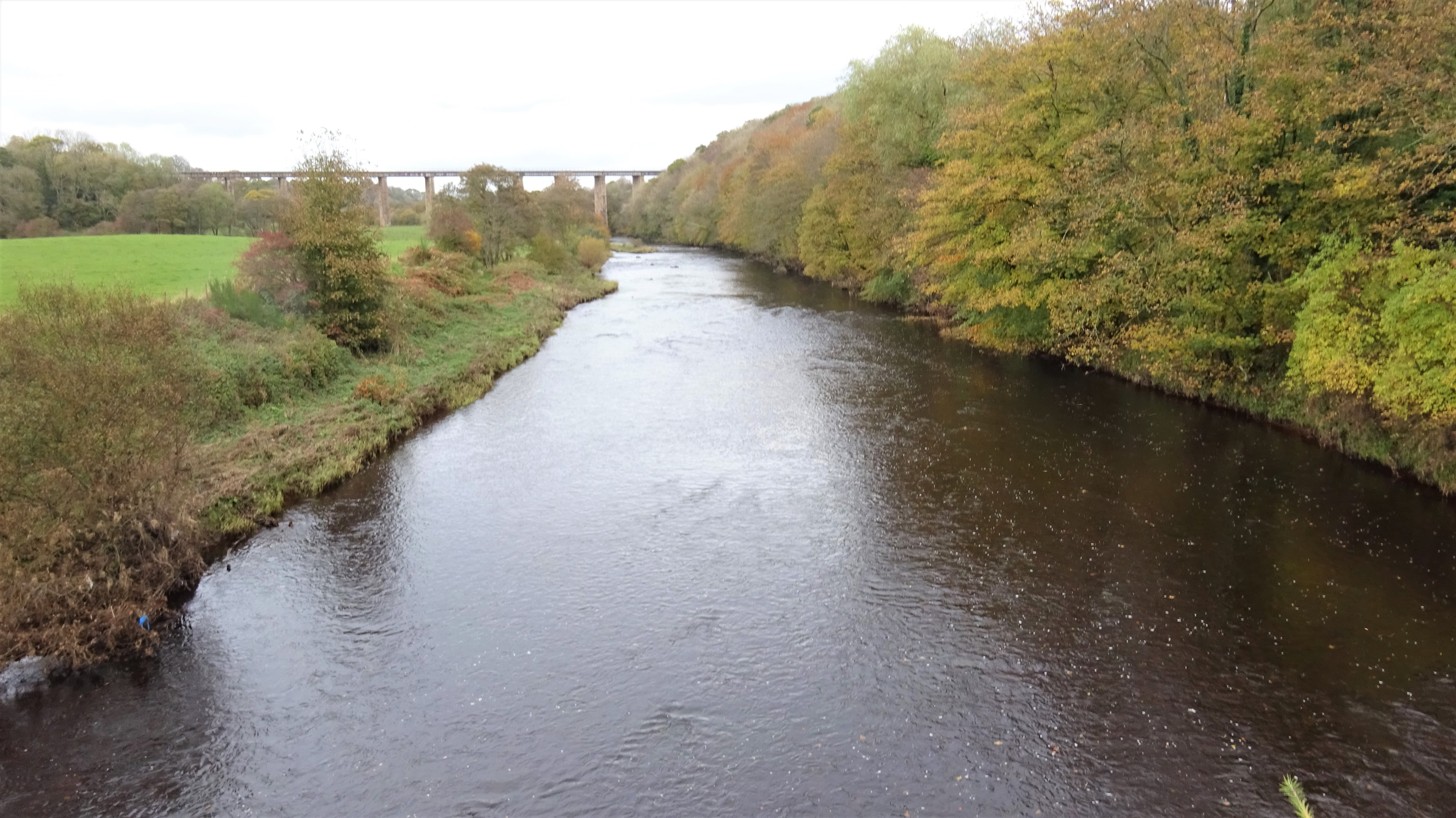
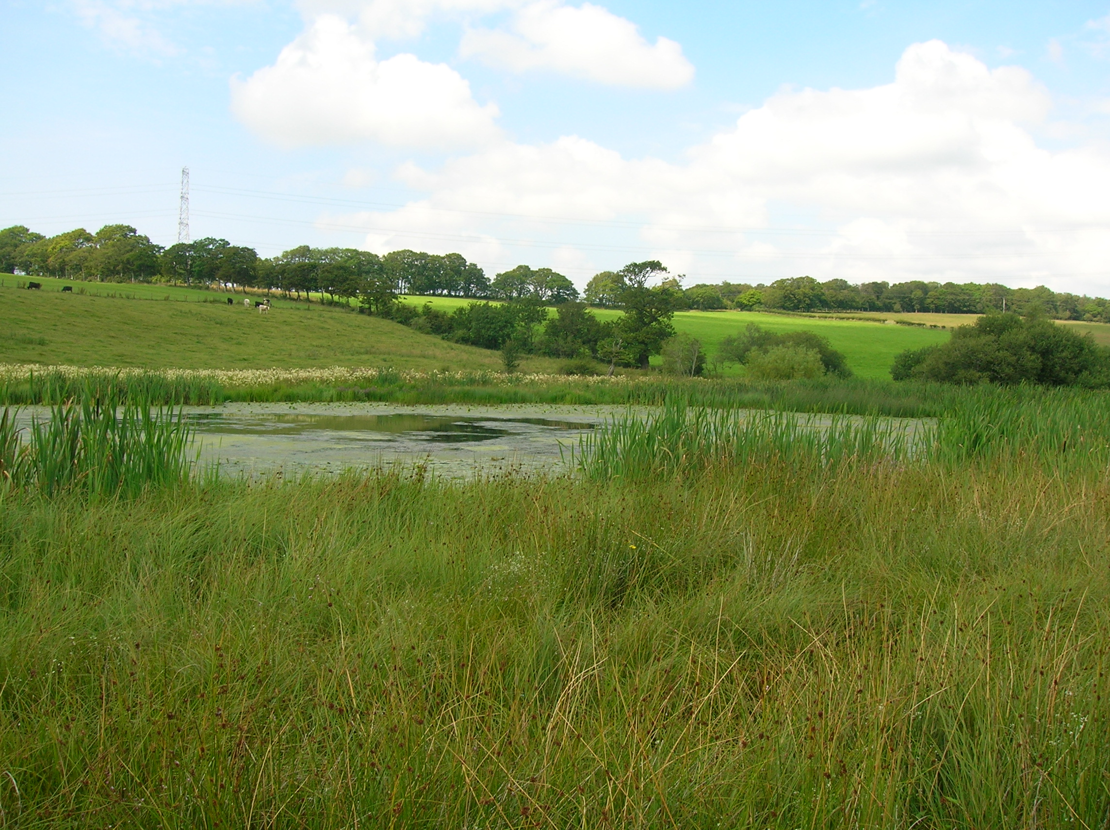
High Walk Wood is a dense forest located in Ayrshire, Scotland. It covers an area of approximately 100 acres and is known for its diverse range of flora and fauna. The wood is situated on a hillside, offering panoramic views of the surrounding countryside.
The forest is primarily composed of deciduous trees, including oak, beech, and birch. These trees create a dense canopy, providing a habitat for a variety of bird species. Visitors to High Walk Wood can often spot woodland birds such as woodpeckers, thrushes, and finches.
The forest floor is covered in a thick layer of leaf litter, creating an ideal environment for a wide range of woodland plants. Bluebells, wild garlic, and ferns are some of the common plant species found in High Walk Wood.
Several walking trails crisscross the forest, allowing visitors to explore its natural beauty. These trails vary in length and difficulty, catering to both casual strollers and avid hikers. Along the way, hikers may come across small streams and ponds, adding to the charm of the woodland.
High Walk Wood is also home to a diverse array of wildlife. Deer, foxes, and badgers are occasionally spotted, particularly during the early morning or evening hours. The forest provides a sanctuary for these animals, away from the bustling urban environment.
Overall, High Walk Wood is a picturesque and tranquil forest, offering visitors the opportunity to connect with nature and enjoy the beauty of the Scottish countryside.
If you have any feedback on the listing, please let us know in the comments section below.
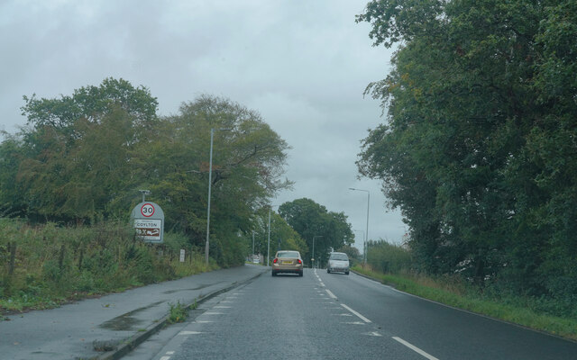
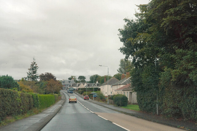
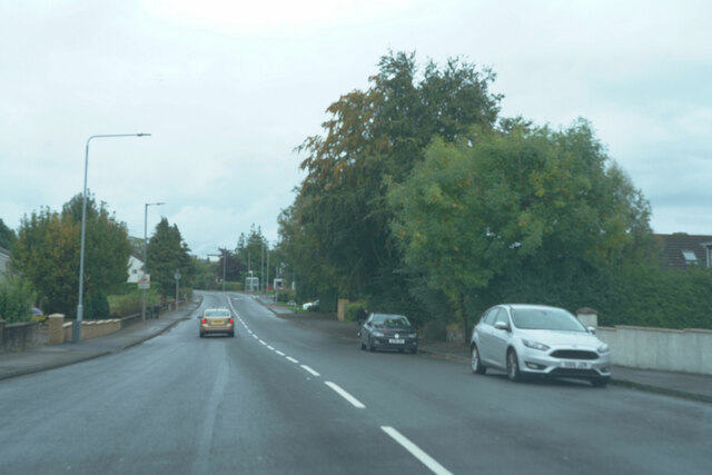
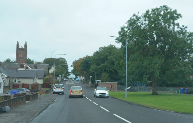
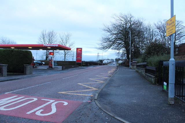
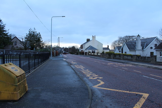
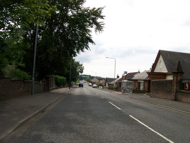
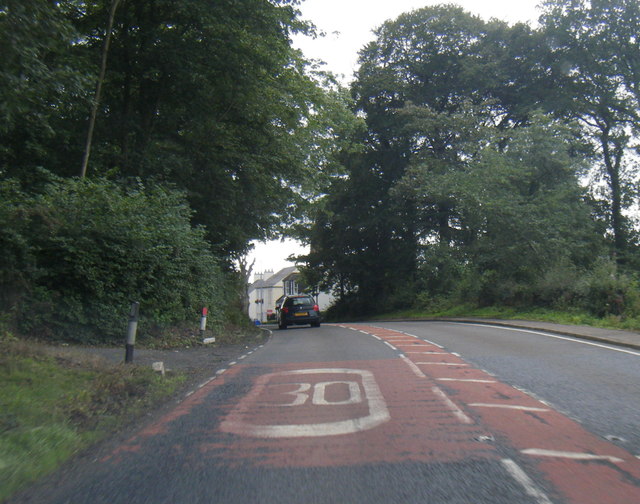
High Walk Wood Images
Images are sourced within 2km of 55.461512/-4.5119905 or Grid Reference NS4121. Thanks to Geograph Open Source API. All images are credited.


High Walk Wood is located at Grid Ref: NS4121 (Lat: 55.461512, Lng: -4.5119905)
Unitary Authority: South Ayrshire
Police Authority: Ayrshire
What 3 Words
///reset.menswear.served. Near Coylton, South Ayrshire
Nearby Locations
Related Wikis

Sundrum Castle
Sundrum Castle is a Scottish medieval castle located 1.5 kilometres (0.93 mi) north of Coylton, South Ayrshire, by the Water of Coyle river. It was built...

Gadgirth Old Ha'
The castle known as Gadgirth Old Ha' or Gadgirth Old Hall, was the first castle at Gadgirth, held by the Chalmer family, standing on a whinstone promontory...
Castle and Barony of Gadgirth
The Castle and Barony of Gadgirth was held by the Chalmer family, originally De Camera, with successive castles and a mansion house overlooking the River...
Lochend Loch (Coylton)
Lochend Loch, which once had nearly three acres in surface area is now only a small freshwater loch remnant. It lies in the South Ayrshire Council Area...

Annbank
Annbank is a village in South Ayrshire, Scotland. It is around five miles east of Ayr. Originally a mining settlement, it once had a rail link to Ayr via...
Annbank United F.C.
Annbank United Football Club are a Scottish football club from Annbank, South Ayrshire. Formed in 1939, they are based at New Pebble Park and are nicknamed...
Coylton
Coylton (Scots: Culton) is a village and civil parish in South Ayrshire, Scotland. It is five miles (eight kilometres) east of Ayr and 2+1⁄2 miles (4 kilometres...

Joppa, South Ayrshire
Joppa is a former hamlet in South Ayrshire, Scotland, about one mile (1.5 kilometres) which now forms the eastern portion of the built-up part of Coylton...
Nearby Amenities
Located within 500m of 55.461512,-4.5119905Have you been to High Walk Wood?
Leave your review of High Walk Wood below (or comments, questions and feedback).